Canonbie
Settlement in Dumfriesshire
Scotland
Canonbie
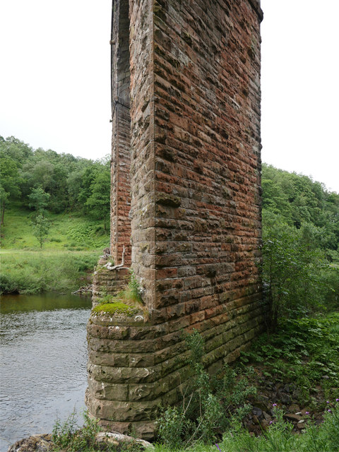
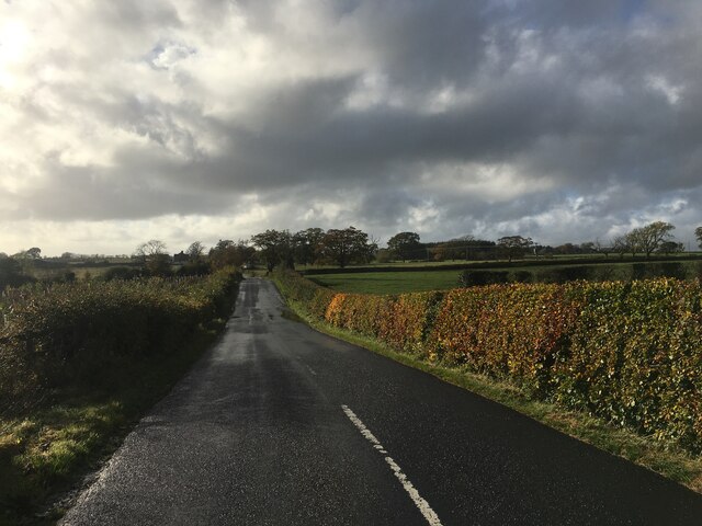
Canonbie is a small village located in the Dumfriesshire region of Scotland, situated along the banks of the River Esk. It is nestled amidst the picturesque countryside, surrounded by rolling hills and lush green landscapes. The village is approximately 10 miles south of Langholm and 13 miles north of Carlisle, making it conveniently accessible.
Historically, Canonbie has been an important settlement, dating back to Roman times when it served as a strategic crossing point over the Esk River. The village is known for its rich history and has several ancient sites of interest, including earthwork remnants of a Roman fort and a medieval motte-and-bailey castle.
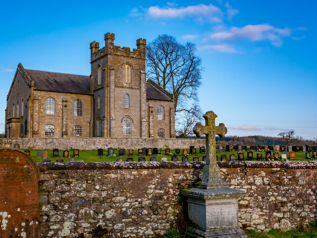
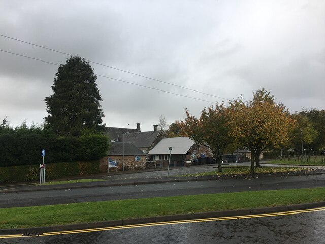
Although relatively small in size, Canonbie offers a range of amenities to its residents and visitors. These include a primary school, a village hall, a post office, a general store, and a pub. The village also boasts a close-knit community that organizes various events throughout the year, fostering a sense of togetherness.
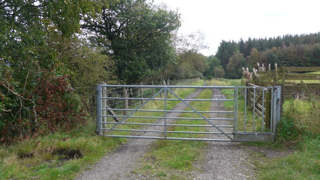
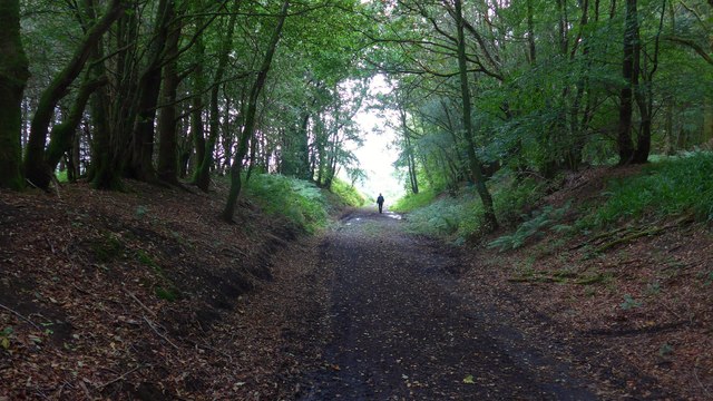
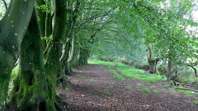
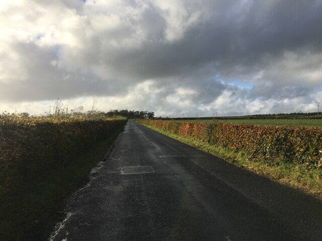
The surrounding natural beauty makes Canonbie an ideal destination for outdoor enthusiasts. The area offers ample opportunities for hiking, cycling, and fishing, with numerous scenic trails and the nearby Eskdalemuir Forest providing stunning views and tranquility.
Overall, Canonbie offers a peaceful and idyllic setting, combining its rich history with natural beauty. Whether exploring its ancient landmarks or enjoying the serenity of the countryside, visitors to Canonbie are sure to find charm and tranquility in this picturesque Scottish village.
If you have any feedback on the listing, please let us know in the comments section below.
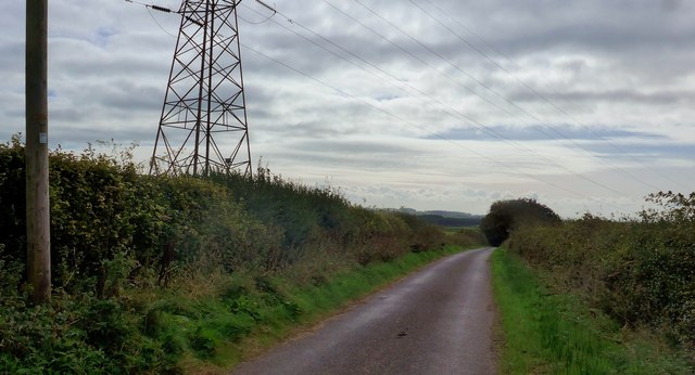
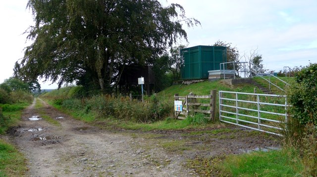
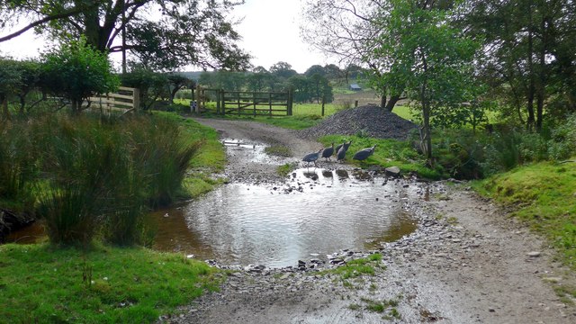
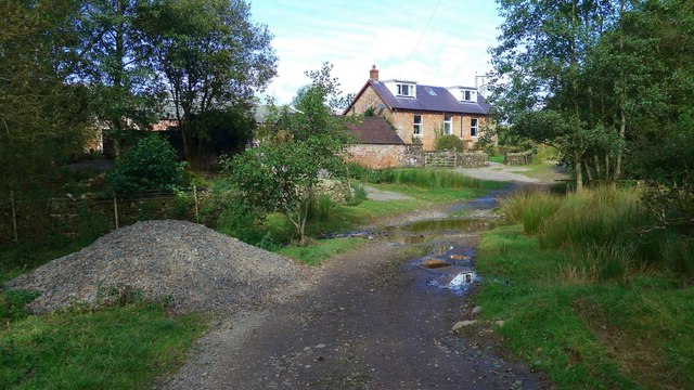
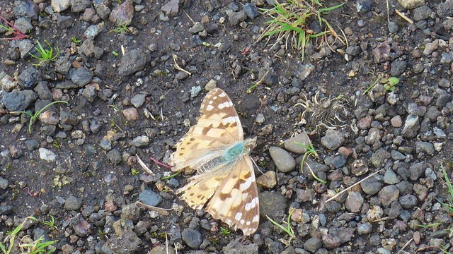
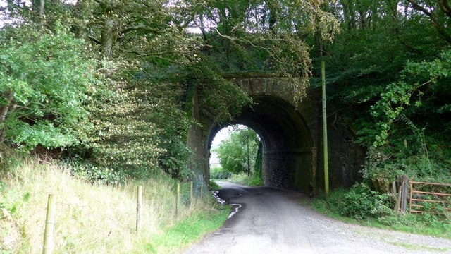
Canonbie Images
Images are sourced within 2km of 55.078624/-2.952741 or Grid Reference NY3976. Thanks to Geograph Open Source API. All images are credited.
Canonbie is located at Grid Ref: NY3976 (Lat: 55.078624, Lng: -2.952741)
Unitary Authority: Dumfries and Galloway
Police Authority: Dumfries and Galloway
What 3 Words
///stun.relaxed.guru. Near Longtown, Cumbria
Nearby Locations
Related Wikis
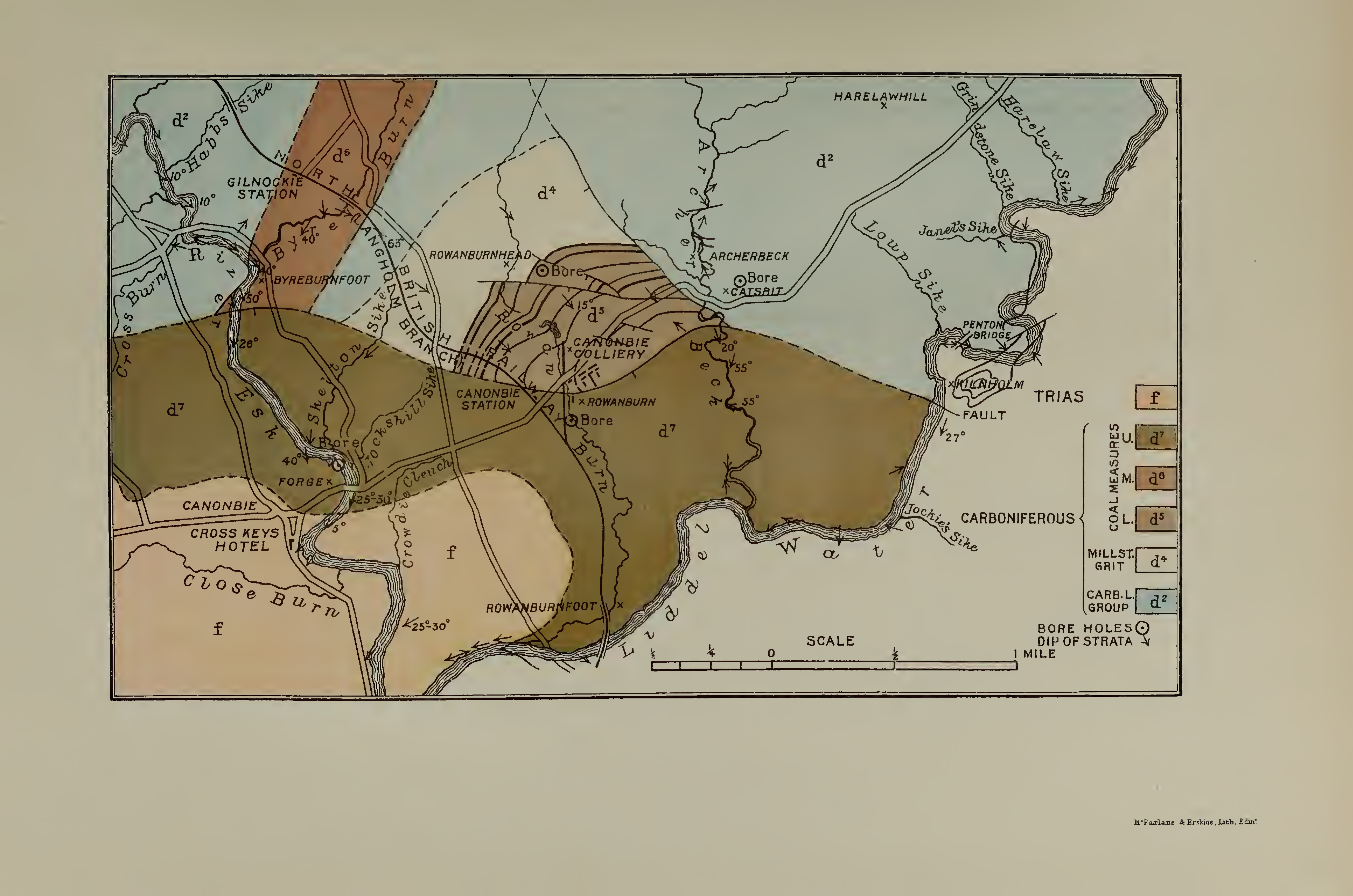
Canonbie Coalfield
The Canonbie Coalfield is a small and largely concealed coalfield at Canonbie in the south of Scotland. A comprehensive survey by Peach and Horne was published...

Canonbie
Canonbie (Scottish Gaelic: Canonbaidh) is a small village in Dumfriesshire within the local authority area of Dumfries and Galloway in Scotland, 6 miles...
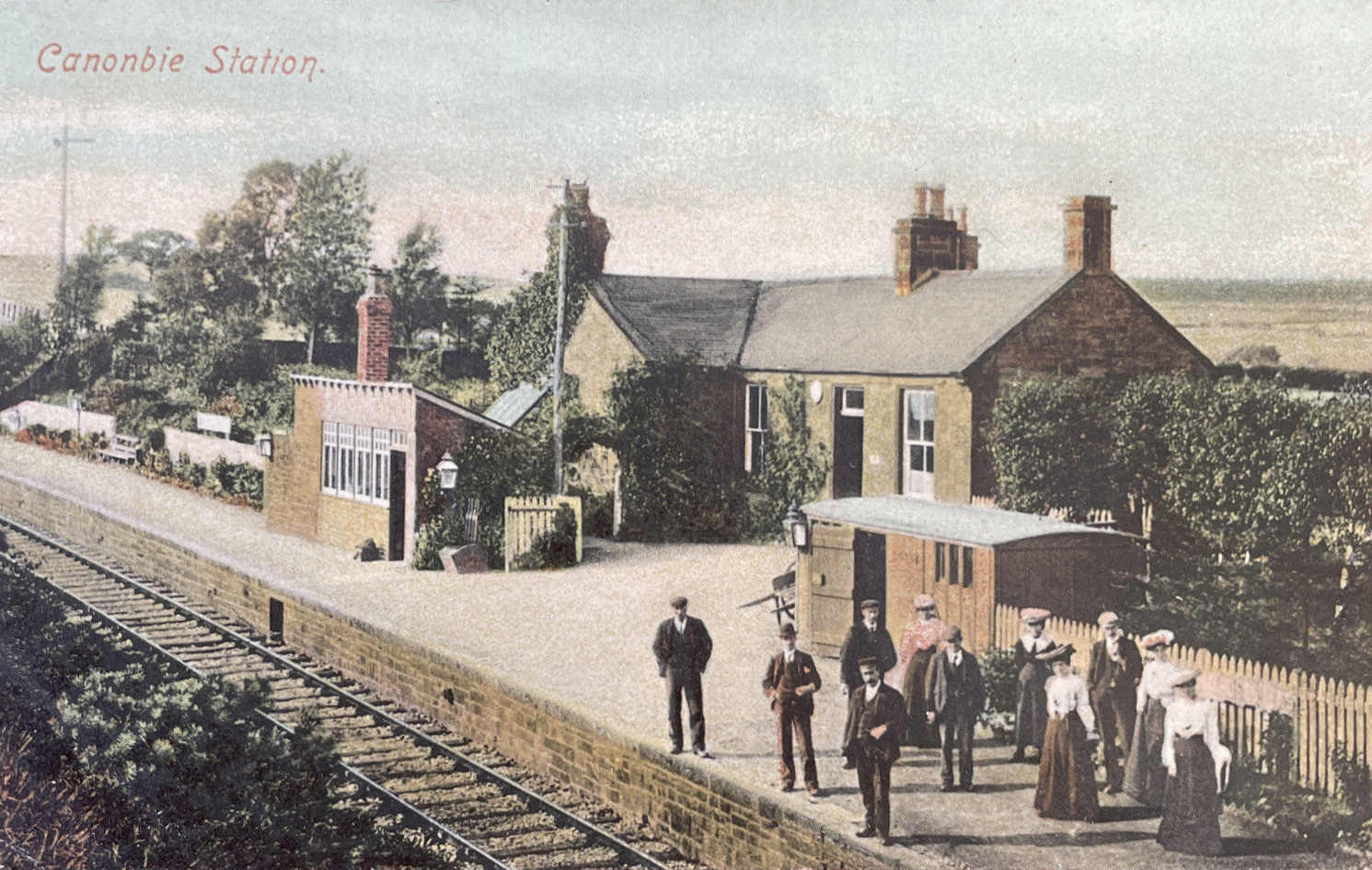
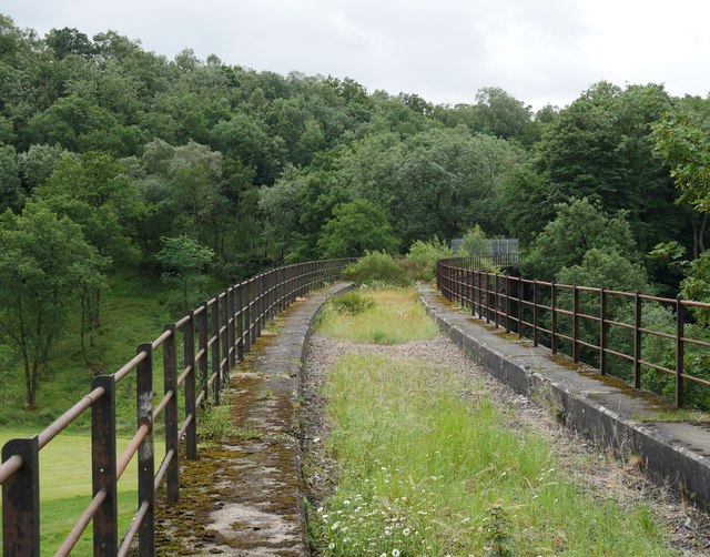
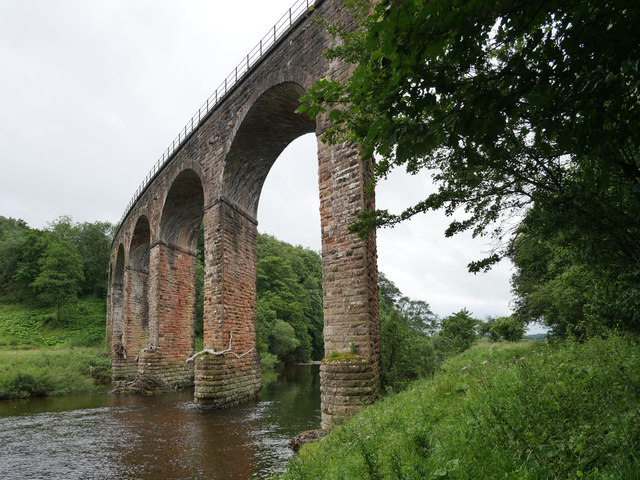
Canonbie railway station
Canonbie railway station served the village of Canonbie, Dumfries and Galloway, Scotland from 1862 to 1967 on the Border Union Railway. == History == The...

Fairy Loup
Fairy Loup is a waterfall located on Byre Burn, a tributary of River Esk, in Dumfries and Galloway, Scotland.The waterfall's name originates in a local...
Nearby Amenities
Located within 500m of 55.078624,-2.952741Have you been to Canonbie?
Leave your review of Canonbie below (or comments, questions and feedback).