Prior Linn
Lake, Pool, Pond, Freshwater Marsh in Dumfriesshire
Scotland
Prior Linn
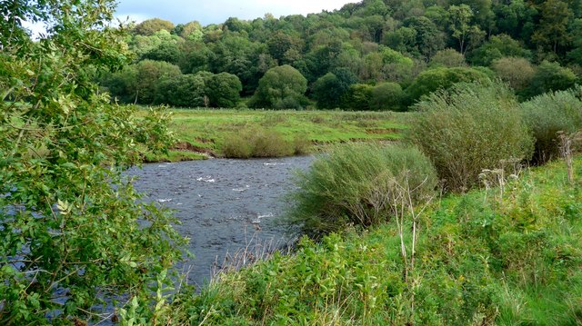
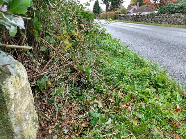
Prior Linn, located in Dumfriesshire, Scotland, is a picturesque freshwater marsh that encompasses a lake, pool, and pond. Spanning approximately 10 acres, this natural wonder is a haven for a diverse range of flora and fauna.
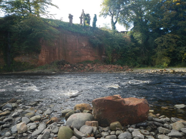
The centerpiece of Prior Linn is the serene lake, which stretches over 3 acres. Surrounded by lush greenery, the lake is home to various species of aquatic plants such as water lilies and reeds, creating a vibrant and colorful landscape. The crystal-clear waters of the lake support a healthy population of fish, including perch, pike, and trout, attracting avid anglers throughout the year.
Adjacent to the lake is a smaller pool, which covers an area of around 2 acres. This pool, fed by a nearby stream, offers a calm and tranquil environment, perfect for relaxation and bird-watching. Visitors can often spot a variety of waterfowl, including mallards, swans, and herons, gracefully gliding across the water's surface.
Further into the marshland, a charming pond can be found. With its shallow depth, the pond serves as a thriving habitat for amphibians, such as frogs and newts. The surrounding vegetation, including cattails and sedges, provides ample cover and sustenance for these fascinating creatures.
Overall, Prior Linn in Dumfriesshire is a remarkable natural site, boasting a diverse range of aquatic ecosystems. Whether you are an angler seeking a peaceful fishing spot, a bird enthusiast searching for unique species, or simply a nature lover wanting to immerse yourself in the beauty of Scotland's countryside, Prior Linn offers an enchanting experience for all.
If you have any feedback on the listing, please let us know in the comments section below.
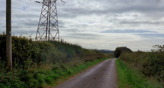
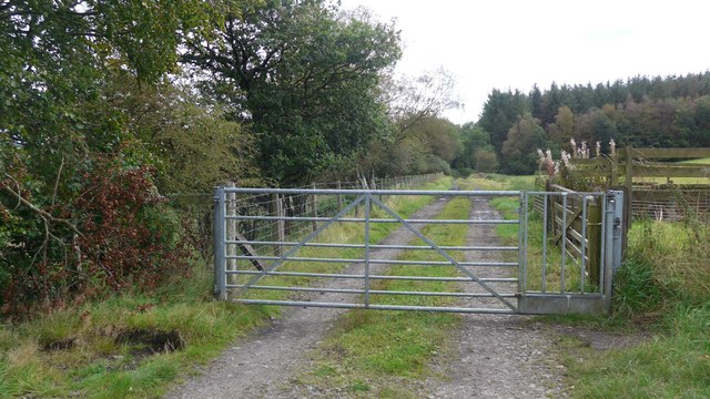
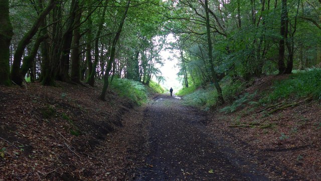
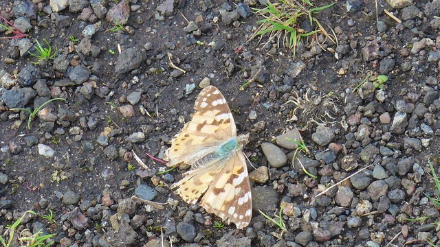
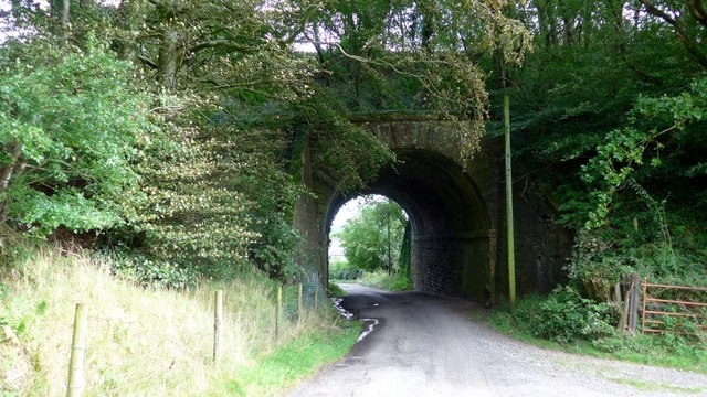
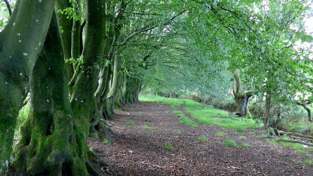
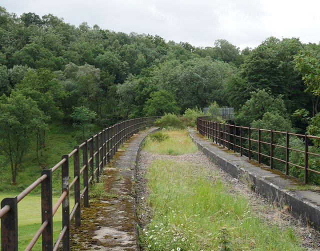
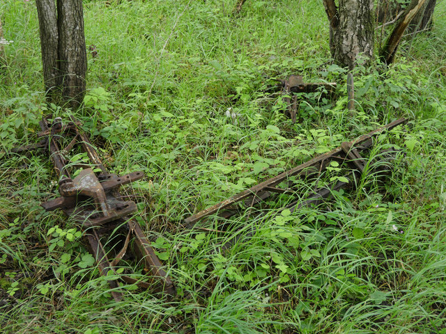
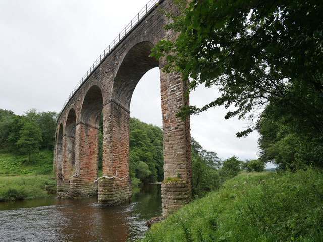
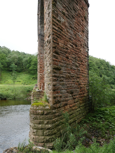
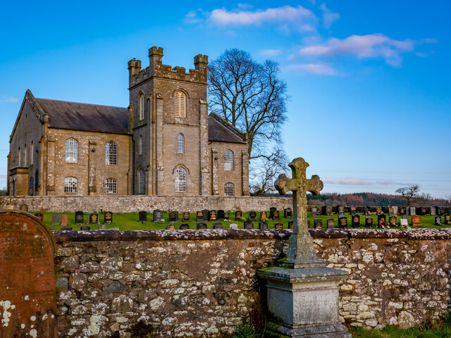
Prior Linn Images
Images are sourced within 2km of 55.076176/-2.9520413 or Grid Reference NY3976. Thanks to Geograph Open Source API. All images are credited.
Prior Linn is located at Grid Ref: NY3976 (Lat: 55.076176, Lng: -2.9520413)
Unitary Authority: Dumfries and Galloway
Police Authority: Dumfries and Galloway
What 3 Words
///fancied.prevents.qualifier. Near Longtown, Cumbria
Nearby Locations
Related Wikis

Canonbie
Canonbie (Scottish Gaelic: Canonbaidh) is a small village in Dumfriesshire within the local authority area of Dumfries and Galloway in Scotland, 6 miles...
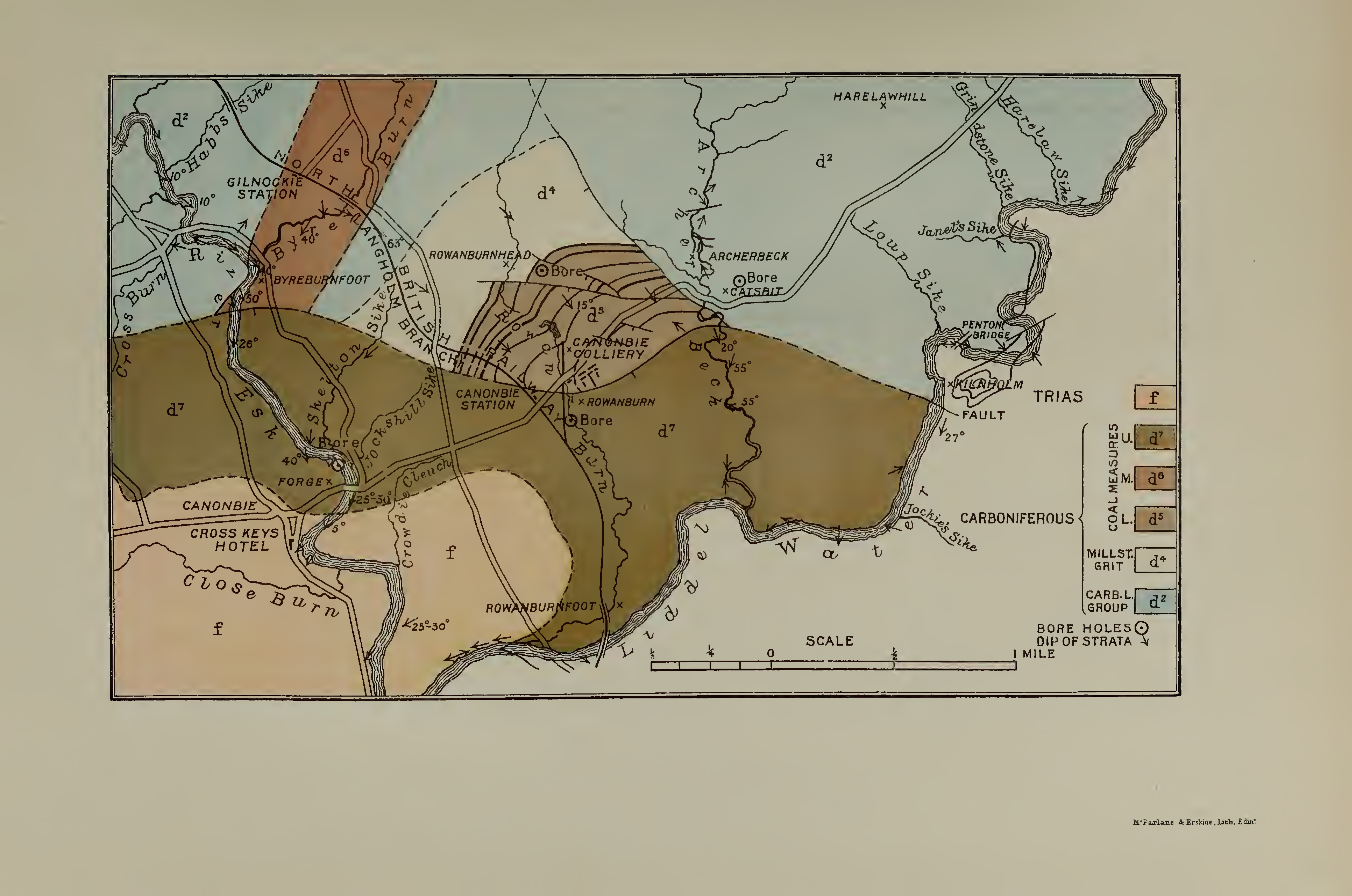
Canonbie Coalfield
The Canonbie Coalfield is a small and largely concealed coalfield at Canonbie in the south of Scotland. A comprehensive survey by Peach and Horne was published...
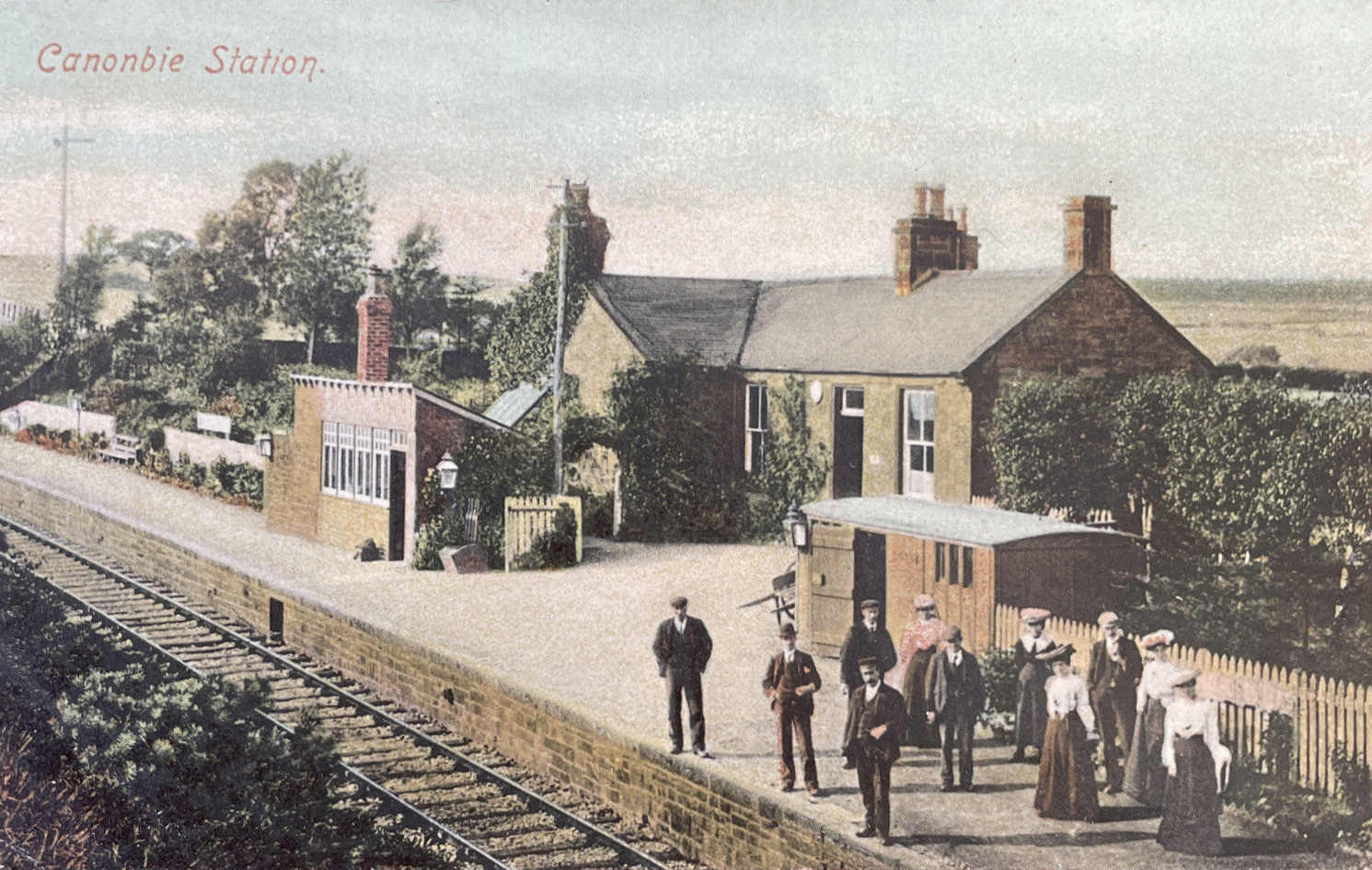
Canonbie railway station
Canonbie railway station served the village of Canonbie, Dumfries and Galloway, Scotland from 1862 to 1967 on the Border Union Railway. == History == The...
Riddings Junction railway station
Riddings Junction railway station was a railway station in Cumbria, England, from 1862 to 1967 on the Border Union Railway. == History == The station opened...
Nearby Amenities
Located within 500m of 55.076176,-2.9520413Have you been to Prior Linn?
Leave your review of Prior Linn below (or comments, questions and feedback).