Lymie Cleuch
Valley in Dumfriesshire
Scotland
Lymie Cleuch
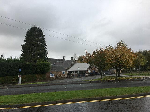
Lymie Cleuch is a picturesque valley located in Dumfriesshire, a historic county in the southwest of Scotland. This enchanting valley is nestled amidst the rolling hills of the Southern Uplands, offering visitors a tranquil and idyllic setting to explore and enjoy the beauty of nature.
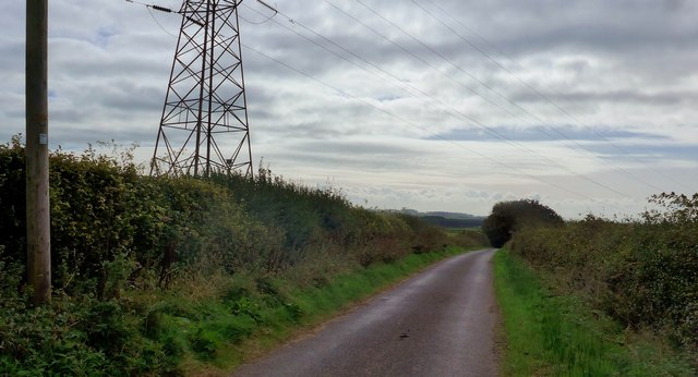
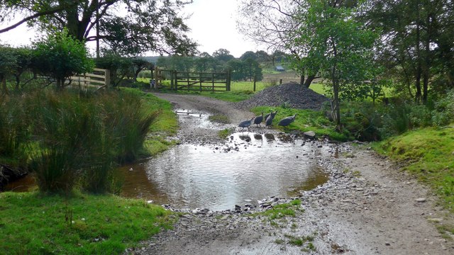
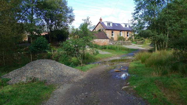
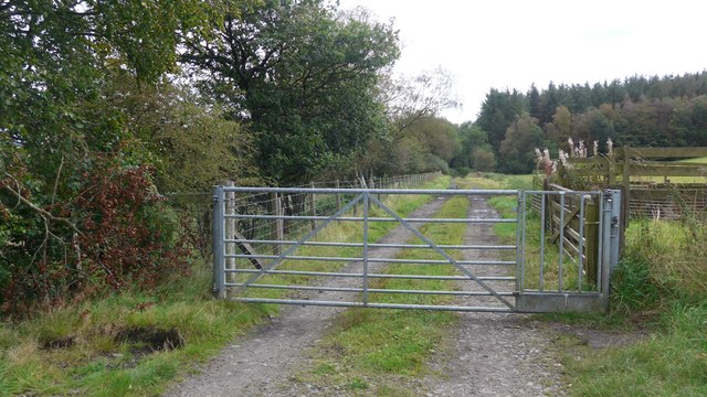
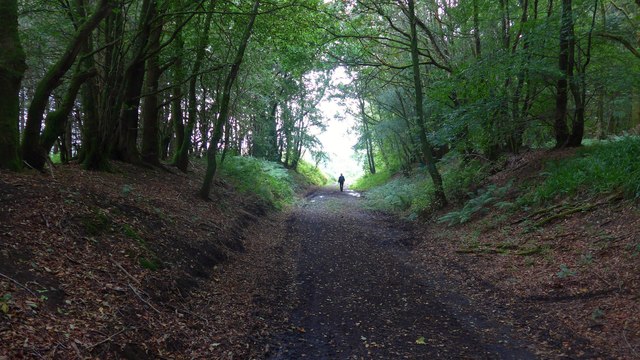
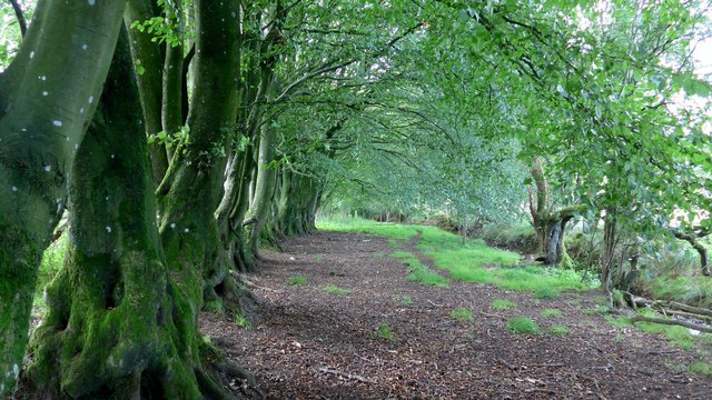
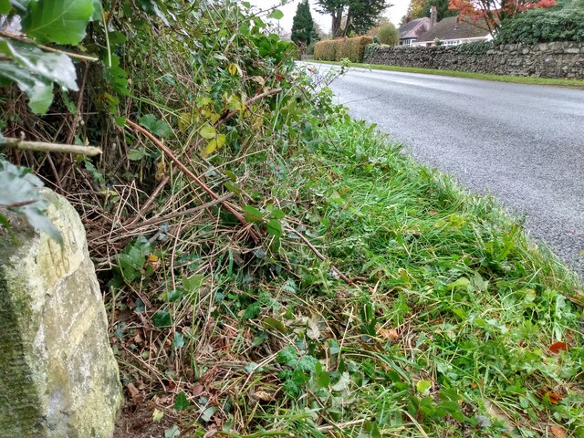
The valley is characterized by its lush green landscapes, dotted with patches of wildflowers and hedgerows. A small stream meanders through the valley, adding to its charm and providing a soothing soundtrack for those who venture here. The surrounding hills provide a stunning backdrop, with their rugged slopes and heather-covered peaks.
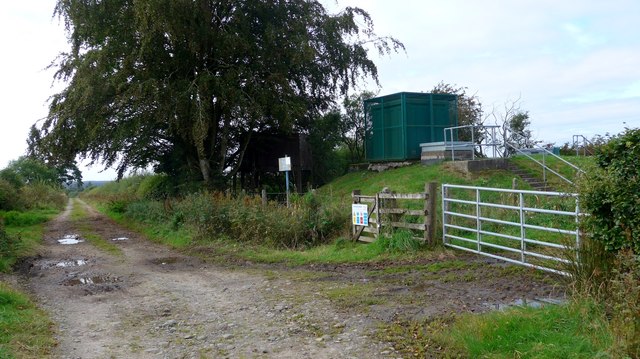
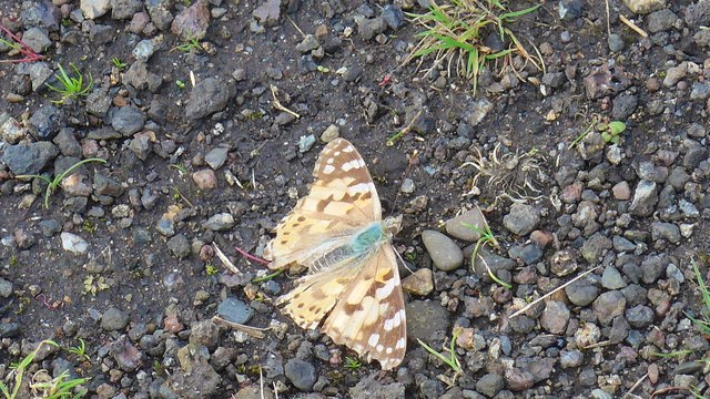
Lymie Cleuch is a haven for outdoor enthusiasts, offering a range of activities such as hiking, walking, and birdwatching. Numerous trails crisscross the valley, allowing visitors to explore its hidden gems and discover its abundant wildlife. The area is home to a variety of bird species, including red grouse, curlews, and peregrine falcons, making it a paradise for birdwatchers.
For history buffs, Lymie Cleuch has a rich heritage, with remnants of ancient settlements and historical sites scattered throughout the valley. The area was once inhabited by Iron Age communities, and traces of their presence can still be seen in the form of hill forts and stone circles.
In conclusion, Lymie Cleuch in Dumfriesshire is a captivating valley that offers visitors a chance to immerse themselves in the beauty of nature. With its stunning landscapes, diverse wildlife, and rich history, it is a must-visit destination for those seeking a peaceful and enchanting experience in the heart of Scotland.
If you have any feedback on the listing, please let us know in the comments section below.
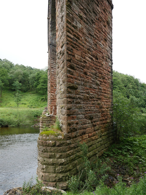
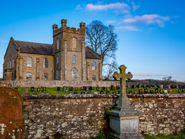
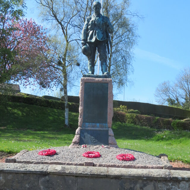
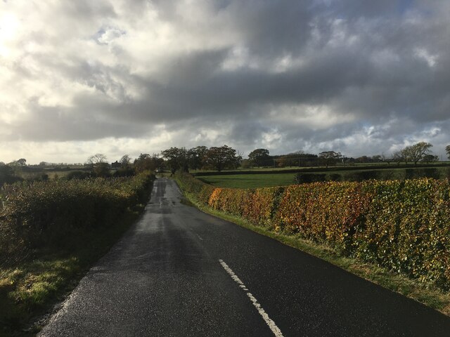
Lymie Cleuch Images
Images are sourced within 2km of 55.081749/-2.9473176 or Grid Reference NY3976. Thanks to Geograph Open Source API. All images are credited.
Lymie Cleuch is located at Grid Ref: NY3976 (Lat: 55.081749, Lng: -2.9473176)
Unitary Authority: Dumfries and Galloway
Police Authority: Dumfries and Galloway
What 3 Words
///reach.stress.countries. Near Longtown, Cumbria
Nearby Locations
Related Wikis
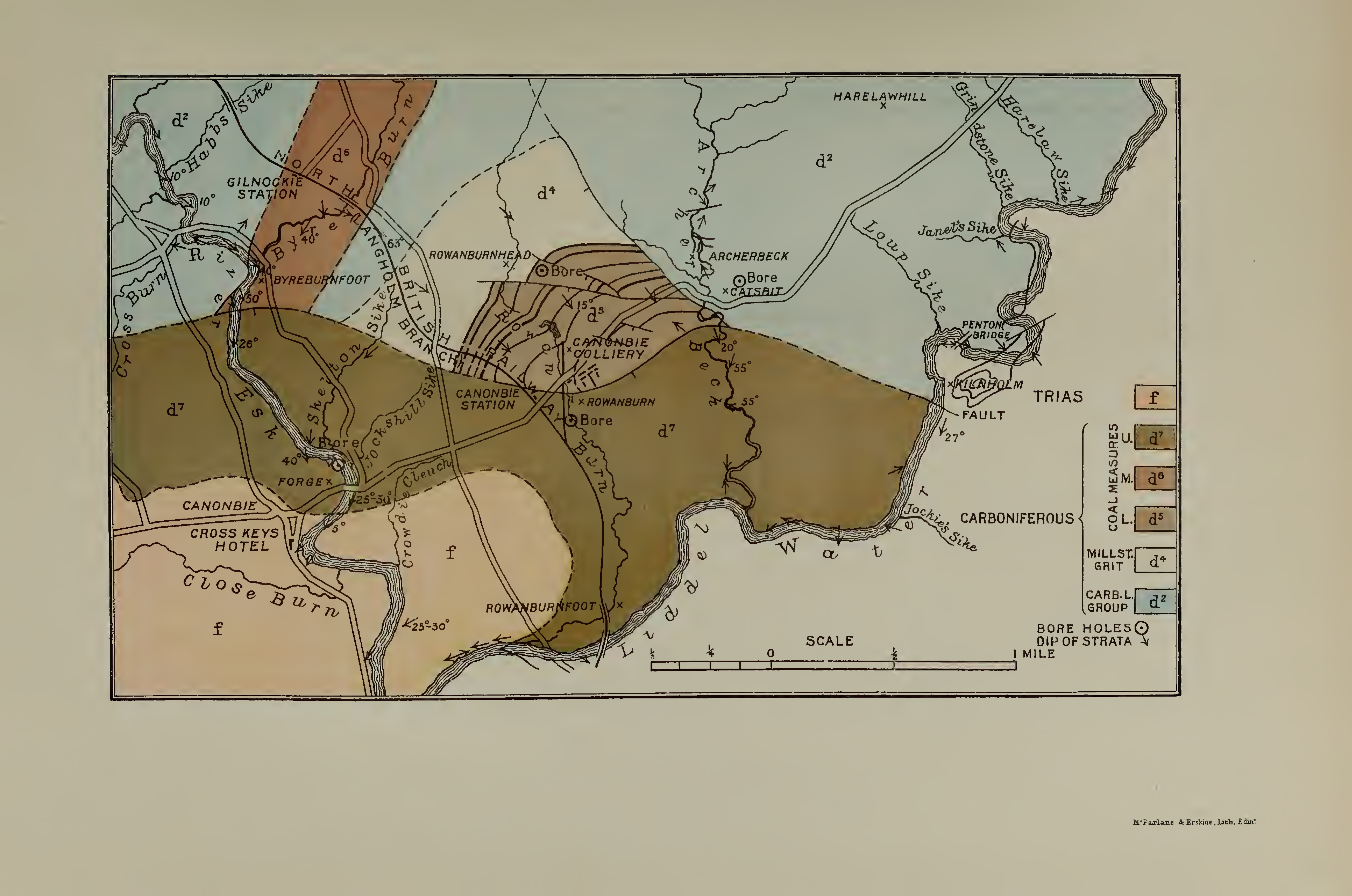
Canonbie Coalfield
The Canonbie Coalfield is a small and largely concealed coalfield at Canonbie in the south of Scotland. A comprehensive survey by Peach and Horne was published...

Canonbie
Canonbie (Scottish Gaelic: Canonbaidh) is a small village in Dumfriesshire within the local authority area of Dumfries and Galloway in Scotland, 6 miles...
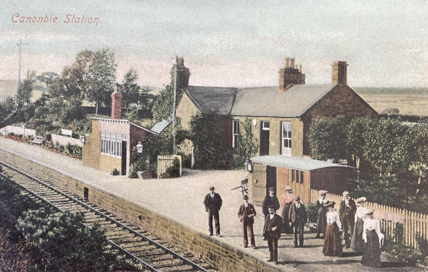
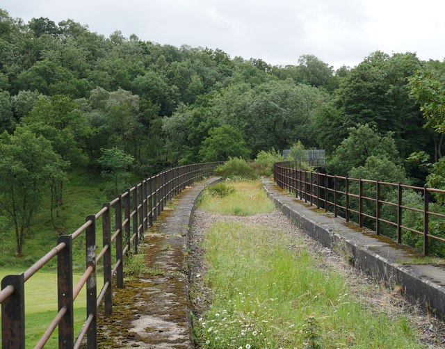
Canonbie railway station
Canonbie railway station served the village of Canonbie, Dumfries and Galloway, Scotland from 1862 to 1967 on the Border Union Railway. == History == The...

Fairy Loup
Fairy Loup is a waterfall located on Byre Burn, a tributary of River Esk, in Dumfries and Galloway, Scotland.The waterfall's name originates in a local...
Rowanburn
Rowanburn is a hamlet in Eskdale, Dumfries and Galloway, Scotland. Located near Canonbie, it sits around 5 miles south-east of Langholm and about a mile...
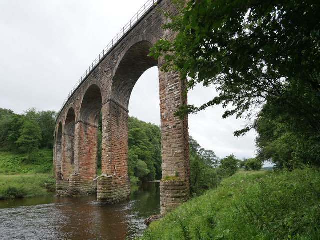
Gilnockie railway station
Gilnockie railway station served the hamlet of Hollows, Dumfries and Galloway, Scotland from 1864 to 1967 on the Border Union Railway. == History == The...
Riddings Junction railway station
Riddings Junction railway station was a railway station in Cumbria, England, from 1862 to 1967 on the Border Union Railway. == History == The station opened...
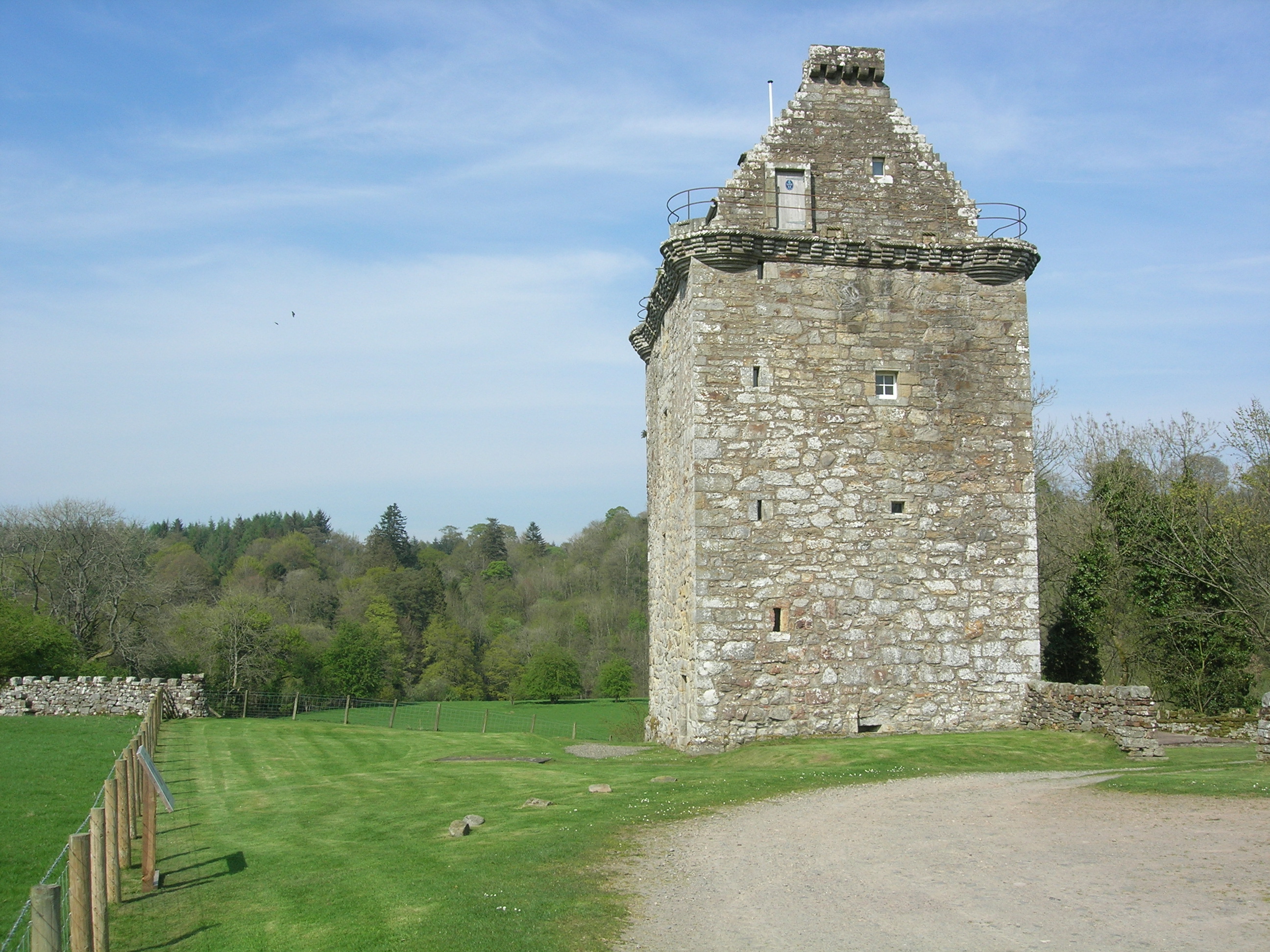
Gilnockie Tower
Gilnockie Tower is a 16th-century tower house, located at the hamlet of Hollows, 2.3 km north of Canonbie, in Dumfriesshire, south-west Scotland. The tower...
Nearby Amenities
Located within 500m of 55.081749,-2.9473176Have you been to Lymie Cleuch?
Leave your review of Lymie Cleuch below (or comments, questions and feedback).