Little Moat Pool
Lake, Pool, Pond, Freshwater Marsh in Dumfriesshire
Scotland
Little Moat Pool
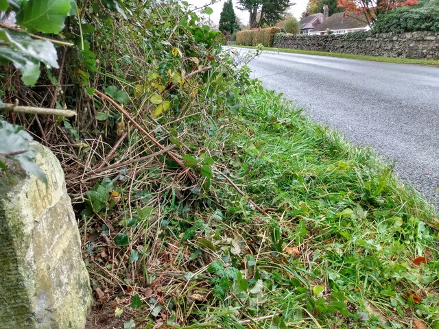
Little Moat Pool is a small freshwater body located in Dumfriesshire, Scotland. Spanning an area of approximately 2 acres, it is classified as a lake, pool, pond, and freshwater marsh. The pool is nestled within a picturesque landscape, surrounded by lush vegetation and rolling hills.
The water in Little Moat Pool is crystal clear, reflecting the stunning scenery that surrounds it. The pool is fed by a combination of rainwater and small streams, ensuring a constant flow of freshwater. The depth of the pool varies, with some areas reaching up to 10 feet deep, while other sections are more shallow.
The pool is home to a variety of aquatic plant life, including water lilies, reeds, and rushes. These plants provide a natural habitat for numerous species of fish and insects, attracting a diverse range of wildlife to the area. Visitors to Little Moat Pool can expect to spot common species such as ducks, geese, and swans, as well as smaller birds like kingfishers and herons.
The tranquil atmosphere of Little Moat Pool makes it a popular spot for fishing and birdwatching. Anglers often flock to the pool in search of perch, pike, and roach, while bird enthusiasts can observe the local avian population in its natural habitat. The pool also offers recreational opportunities such as boating and canoeing, allowing visitors to explore its calm waters and take in the surrounding beauty.
Overall, Little Moat Pool is a serene and diverse freshwater ecosystem, providing a haven for both wildlife and outdoor enthusiasts in Dumfriesshire.
If you have any feedback on the listing, please let us know in the comments section below.
Little Moat Pool Images
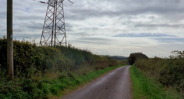
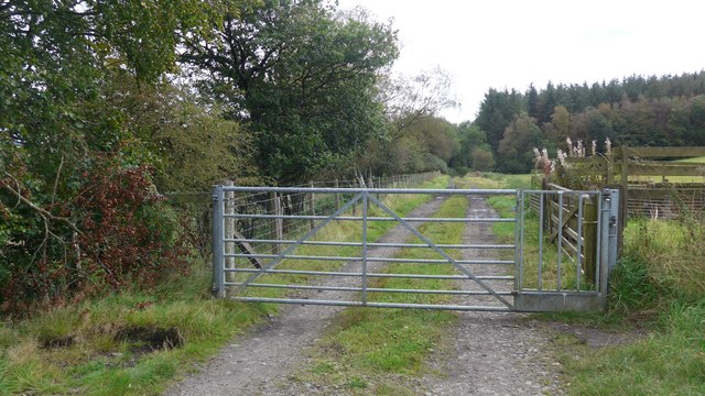
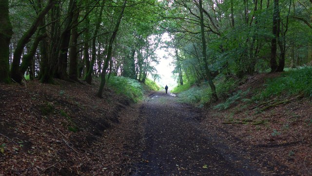
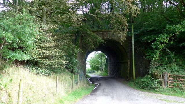
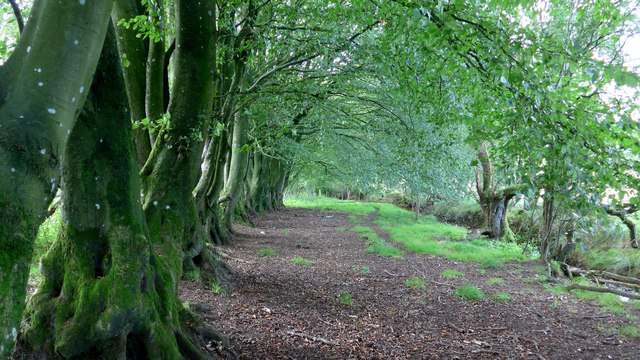
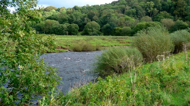
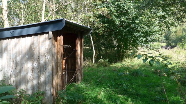
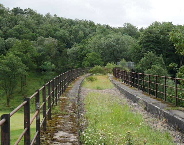
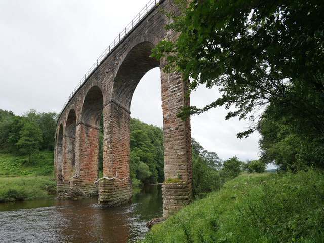
Images are sourced within 2km of 55.075799/-2.9496986 or Grid Reference NY3976. Thanks to Geograph Open Source API. All images are credited.

Little Moat Pool is located at Grid Ref: NY3976 (Lat: 55.075799, Lng: -2.9496986)
Unitary Authority: Dumfries and Galloway
Police Authority: Dumfries and Galloway
What 3 Words
///backtrack.lifts.deposits. Near Longtown, Cumbria
Nearby Locations
Related Wikis

Canonbie
Canonbie (Scottish Gaelic: Canonbaidh) is a small village in Dumfriesshire within the local authority area of Dumfries and Galloway in Scotland, 6 miles...
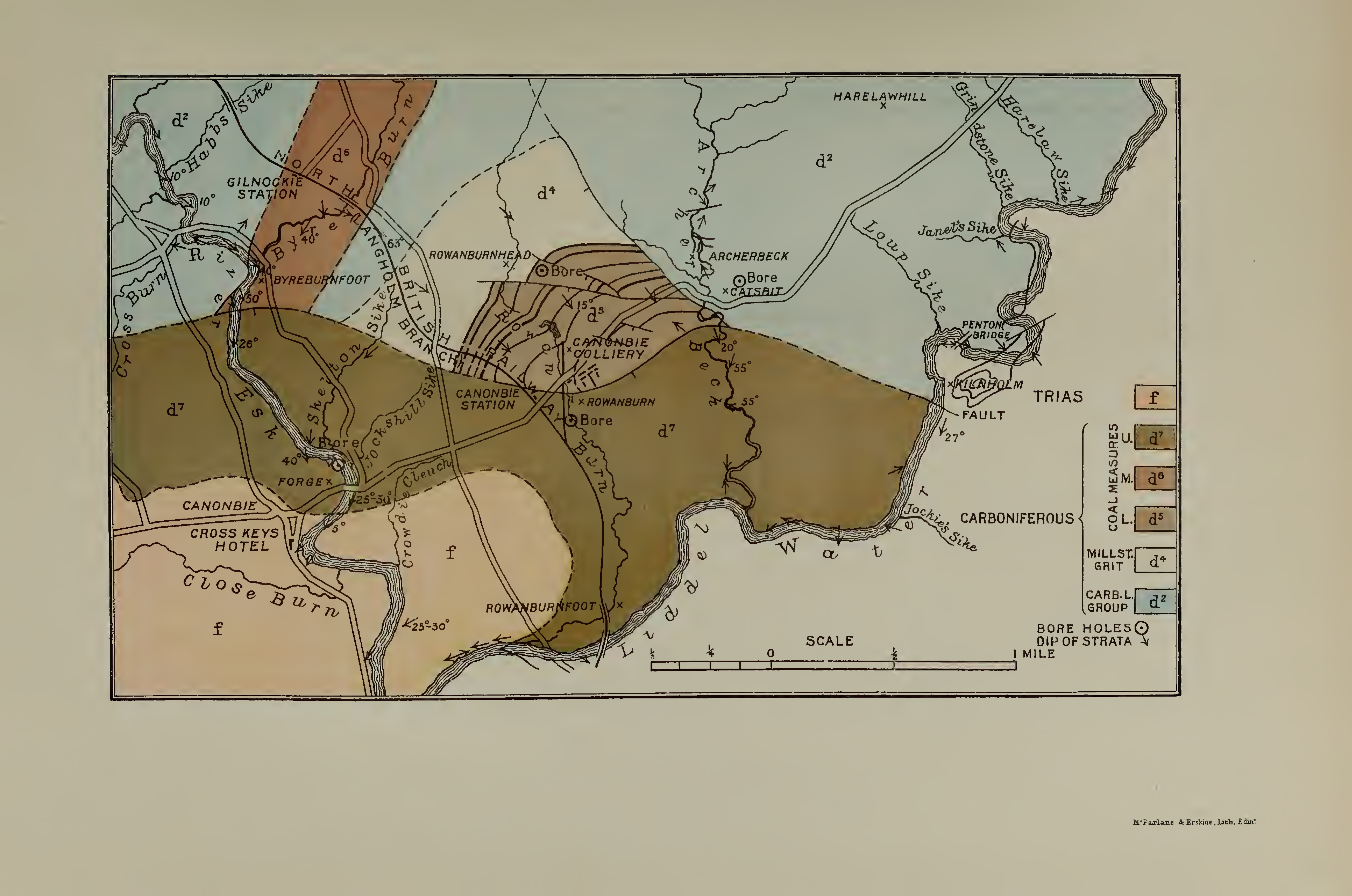
Canonbie Coalfield
The Canonbie Coalfield is a small and largely concealed coalfield at Canonbie in the south of Scotland. A comprehensive survey by Peach and Horne was published...
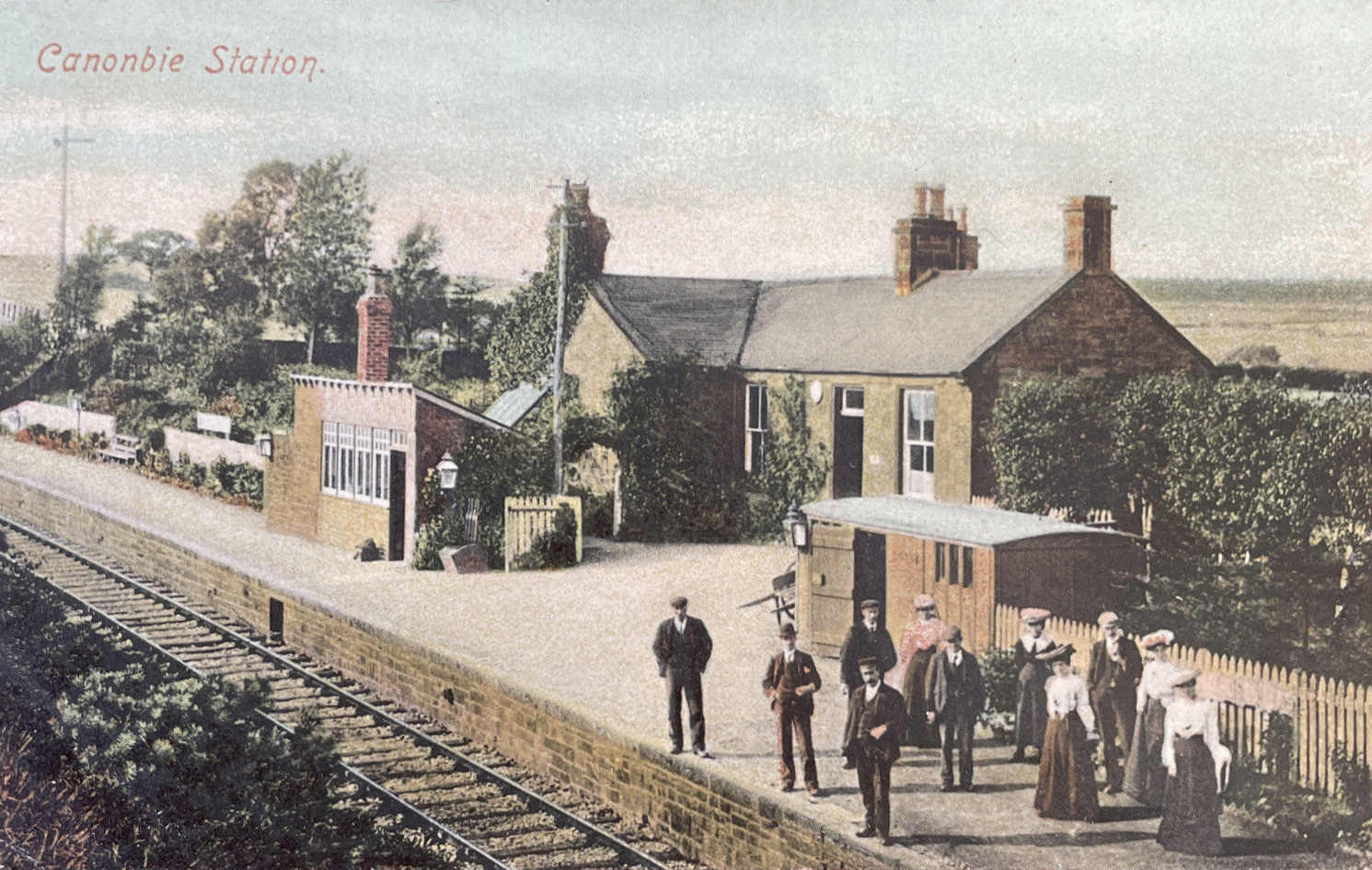
Canonbie railway station
Canonbie railway station served the village of Canonbie, Dumfries and Galloway, Scotland from 1862 to 1967 on the Border Union Railway. == History == The...
Riddings Junction railway station
Riddings Junction railway station was a railway station in Cumbria, England, from 1862 to 1967 on the Border Union Railway. == History == The station opened...
Nearby Amenities
Located within 500m of 55.075799,-2.9496986Have you been to Little Moat Pool?
Leave your review of Little Moat Pool below (or comments, questions and feedback).