Pool Horie
Lake, Pool, Pond, Freshwater Marsh in Banffshire
Scotland
Pool Horie
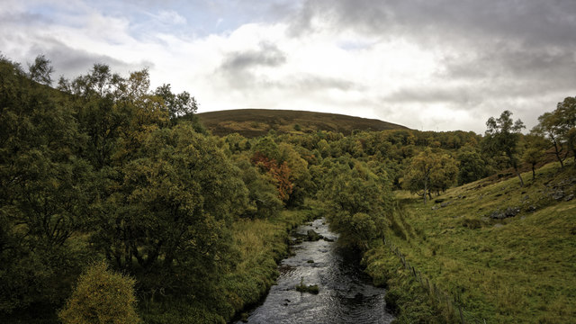
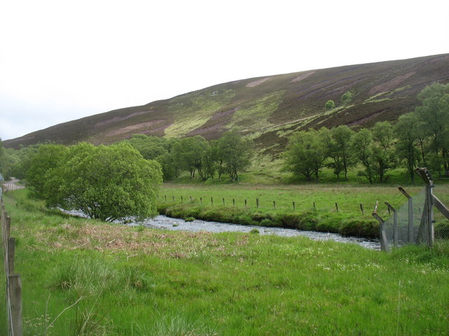
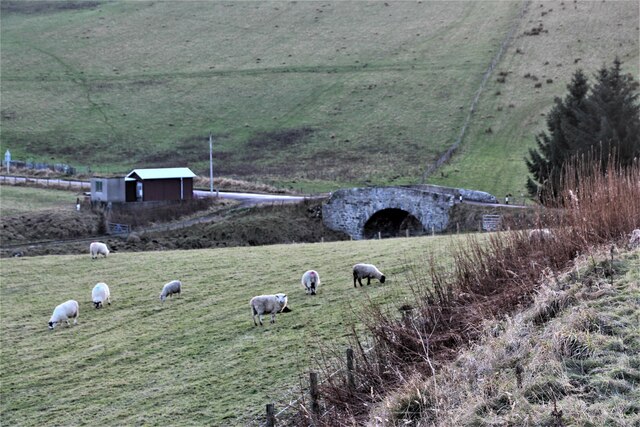
Pool Horie is a picturesque freshwater marsh located in Banffshire, Scotland. Nestled in the heart of the countryside, this natural oasis is a haven for wildlife and a popular destination for nature enthusiasts.
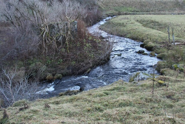
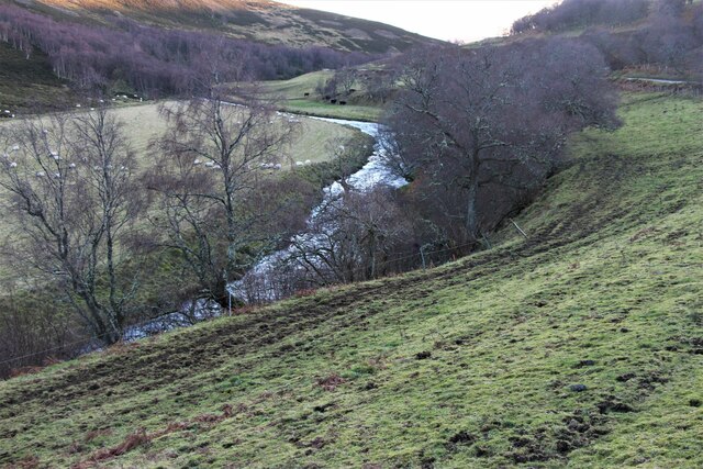
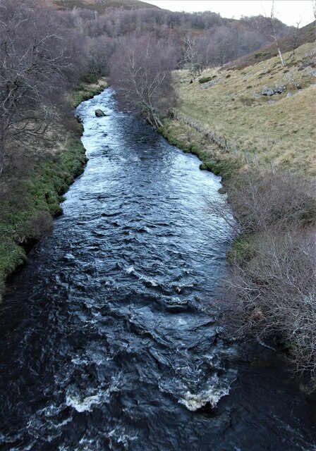
The main feature of Pool Horie is its expansive and serene lake. The lake is surrounded by lush vegetation, including tall reeds and water lilies, which provide a scenic backdrop. Its calm, crystal-clear waters are home to a variety of fish species, such as trout and perch, making it a popular spot for anglers.
Surrounding the lake, there are several small pools and ponds that add to the diversity of the area. These pools are teeming with aquatic plants and insects, providing a rich feeding and breeding ground for many bird species. Visitors can often spot a wide range of waterfowl, including ducks, herons, and swans, along with their adorable offspring.
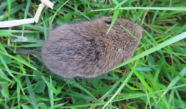
The freshwater marsh itself is a unique ecosystem, characterized by its rich biodiversity. It is home to a plethora of plant species, such as sedges, rushes, and watermilfoils. These plants provide shelter and food for a variety of insects, amphibians, and small mammals that inhabit the marsh.
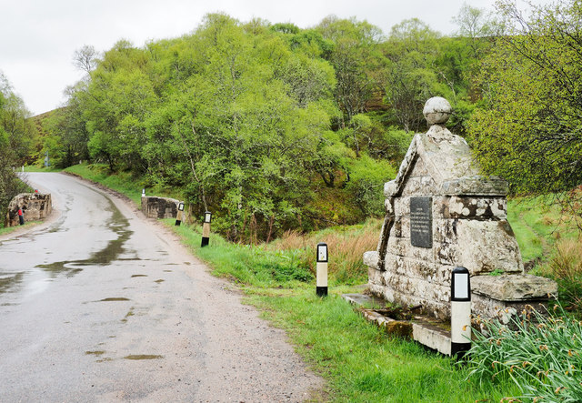
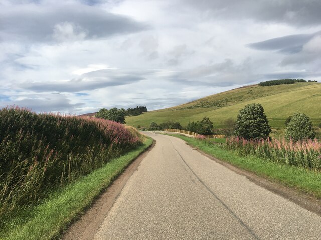
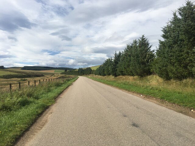
The tranquil beauty of Pool Horie attracts not only wildlife enthusiasts but also visitors seeking a peaceful retreat. The area offers walking trails that wind through the marsh, allowing visitors to immerse themselves in the natural surroundings. Whether it is birdwatching, fishing, or simply enjoying the serene atmosphere, Pool Horie offers a true escape into nature.
If you have any feedback on the listing, please let us know in the comments section below.
Pool Horie Images
Images are sourced within 2km of 57.361268/-3.031128 or Grid Reference NJ3830. Thanks to Geograph Open Source API. All images are credited.
Pool Horie is located at Grid Ref: NJ3830 (Lat: 57.361268, Lng: -3.031128)
Unitary Authority: Moray
Police Authority: North East
What 3 Words
///tractor.salsa.uncouth. Near Dufftown, Moray
Nearby Locations
Related Wikis

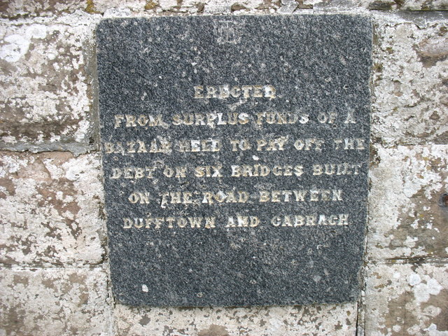
Cabrach
The Cabrach (Scottish Gaelic: A' Chabrach, A' Chabraich) is an estate and largely depopulated rural community in Moray, Scotland. The meaning of the name...

Clashindarroch Forest
Clashindarroch Forest is possibly the largest forest in Aberdeenshire, situated to the south-west of the market town of Huntly. Managed by Forest Enterprise...

Wormy Hillock Henge
Wormy Hillock Henge, also known as The Dragon's Grave, is a small henge in Aberdeenshire, Scotland. It is a Scheduled Ancient Monument located in the Clashindarroch...
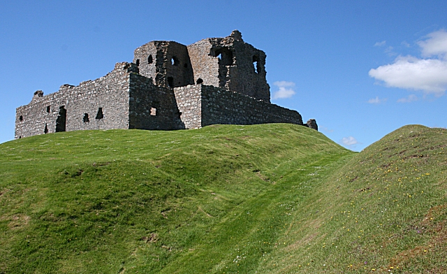
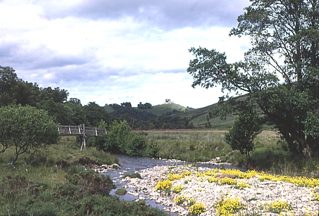
Auchindoun Castle
Auchindoun Castle is a 15th-century L-Plan tower castle located in Auchindoun near Dufftown in Moray, Scotland. == History == While there is evidence of...

Beldorney Castle
Beldorney Castle is a Z-plan castle dating from the mid-16th century, about two miles south of Glass, in hilly country in the valley of the Deveron, in...

Glass, Aberdeenshire
Glass is a parish about 8 miles west of Huntly, Aberdeenshire, Scotland. It is now wholly located in Aberdeenshire but before the reorganisation of Scottish...
Lesmoir Castle
Lesmoir Castle was a 16th-century castle, about 2.0 miles (3.2 km) west of Rhynie, Aberdeenshire, Scotland, south-west of Tap o' Noth, at Mains of Lesmoir...
River Fiddich
The River Fiddich (Scottish Gaelic: Fiodhach / Abhainn Fhiodhaich) is a right bank tributary of the River Spey in northeast Scotland. It rises on the eastern...
Nearby Amenities
Located within 500m of 57.361268,-3.031128Have you been to Pool Horie?
Leave your review of Pool Horie below (or comments, questions and feedback).