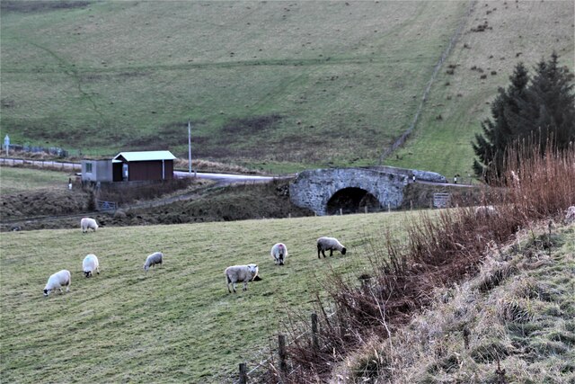
Berry Hillock
Hill, Mountain in Banffshire
Scotland
Berry Hillock
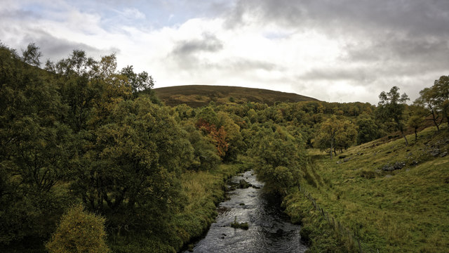
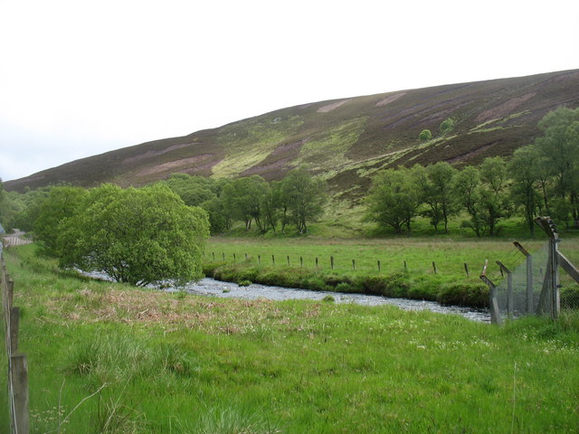
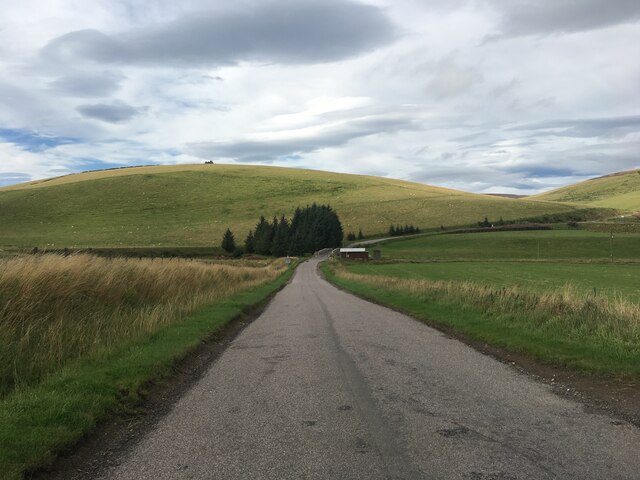
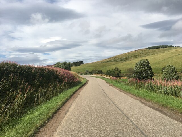
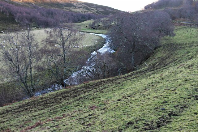
Berry Hillock, located in Banffshire, Scotland, is a prominent hill that stands at an elevation of 521 meters (1,709 feet). Situated in the northeastern part of the country, Berry Hillock is part of the scenic landscape of the Grampian Mountains. The hill is known for its distinctive shape, featuring a rounded summit and gentle slopes that are covered in heather and grasses.
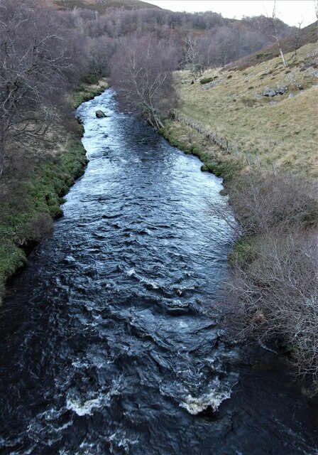
From the summit of Berry Hillock, visitors are rewarded with breathtaking panoramic views of the surrounding countryside. On a clear day, the hill offers vistas stretching across the rolling hills, lush valleys, and sparkling rivers of Banffshire. The summit also provides an excellent vantage point to admire nearby landmarks such as the nearby Knock Hill and Tap o' Noth, another prominent hill in the region.
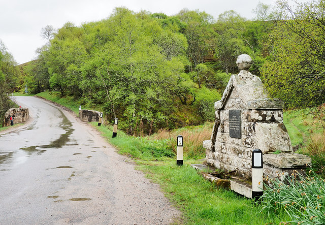
Berry Hillock is a popular destination for outdoor enthusiasts and nature lovers. It offers various hiking and walking trails, suitable for all levels of fitness and experience. The hill is accessible from several points, with well-marked paths that guide visitors through the beautiful Scottish countryside. Along the way, hikers may encounter a rich variety of wildlife, including birds, deer, and other small mammals.
Overall, Berry Hillock in Banffshire is a picturesque hill that combines natural beauty with recreational opportunities. Its stunning views, well-maintained trails, and diverse wildlife make it an ideal destination for those seeking tranquility and a chance to connect with nature in the heart of Scotland.
If you have any feedback on the listing, please let us know in the comments section below.
Berry Hillock Images
Images are sourced within 2km of 57.358275/-3.0280188 or Grid Reference NJ3830. Thanks to Geograph Open Source API. All images are credited.


Berry Hillock is located at Grid Ref: NJ3830 (Lat: 57.358275, Lng: -3.0280188)
Unitary Authority: Moray
Police Authority: North East
What 3 Words
///wins.quicksand.rooster. Near Dufftown, Moray
Nearby Locations
Related Wikis

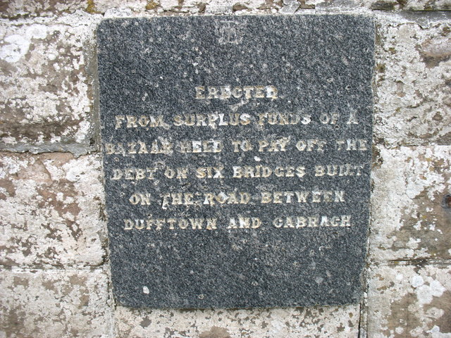
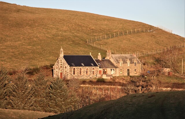
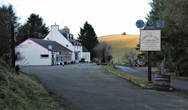
Cabrach
The Cabrach (Scottish Gaelic: A' Chabrach, A' Chabraich) is an estate and largely depopulated rural community in Moray, Scotland. The meaning of the name...

Clashindarroch Forest
Clashindarroch Forest is possibly the largest forest in Aberdeenshire, situated to the south-west of the market town of Huntly. Managed by Forest Enterprise...

Wormy Hillock Henge
Wormy Hillock Henge, also known as The Dragon's Grave, is a small henge in Aberdeenshire, Scotland. It is a Scheduled Ancient Monument located in the Clashindarroch...

Beldorney Castle
Beldorney Castle is a Z-plan castle dating from the mid-16th century, about two miles south of Glass, in hilly country in the valley of the Deveron, in...
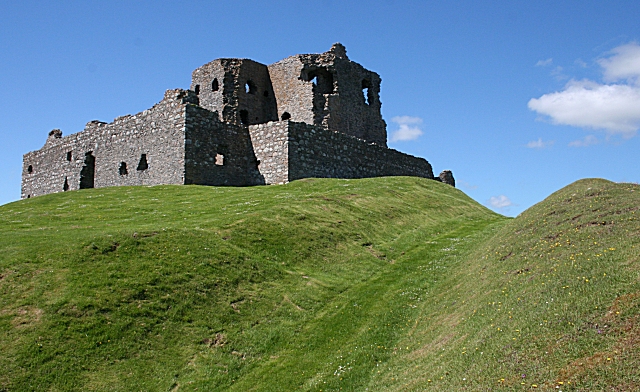
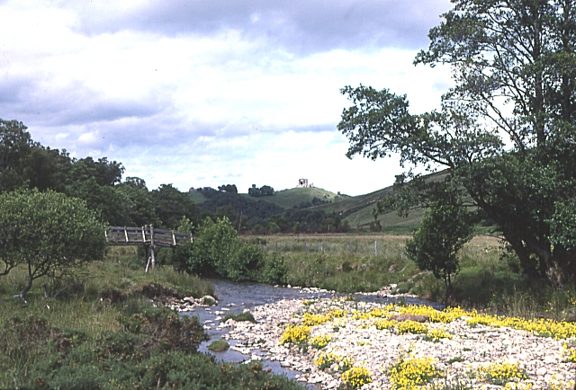
Auchindoun Castle
Auchindoun Castle is a 15th-century L-Plan tower castle located in Auchindoun near Dufftown in Moray, Scotland. == History == While there is evidence of...

Lesmoir Castle
Lesmoir Castle was a 16th-century castle, about 2.0 miles (3.2 km) west of Rhynie, Aberdeenshire, Scotland, south-west of Tap o' Noth, at Mains of Lesmoir...
Glass, Aberdeenshire
Glass is a parish about 8 miles west of Huntly, Aberdeenshire, Scotland. It is now wholly located in Aberdeenshire but before the reorganisation of Scottish...
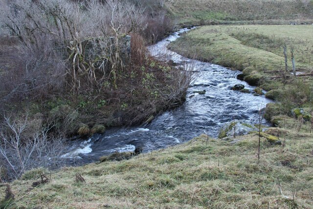
River Fiddich
The River Fiddich (Scottish Gaelic: Fiodhach / Abhainn Fhiodhaich) is a right bank tributary of the River Spey in northeast Scotland. It rises on the eastern...
Nearby Amenities
Located within 500m of 57.358275,-3.0280188Have you been to Berry Hillock?
Leave your review of Berry Hillock below (or comments, questions and feedback).