Sauchen Pot

Lake, Pool, Pond, Freshwater Marsh in Banffshire

Scotland

Sauchen Pot

River Deveron from the Bridge of King's Ford
River Deveron from the Bridge of King's Ford Credit: Peter Moore

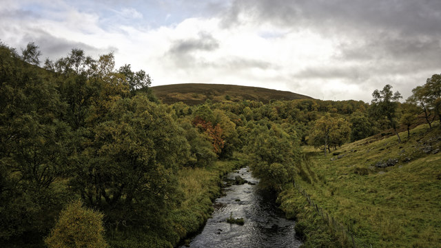
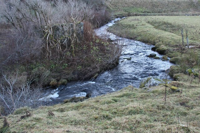
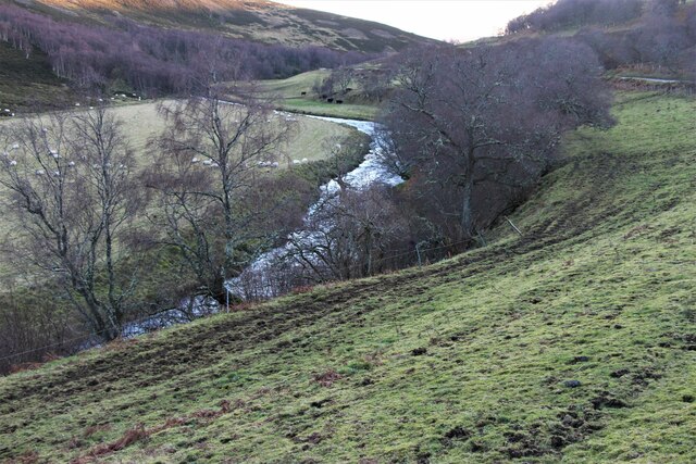
Sauchen Pot, located in Banffshire, Scotland, is a picturesque freshwater pond nestled within a lush, natural setting. With its tranquil atmosphere and stunning surroundings, it attracts visitors from near and far who seek a peaceful retreat amidst nature's beauty.

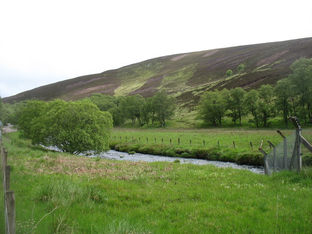
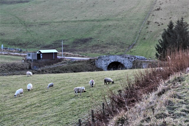
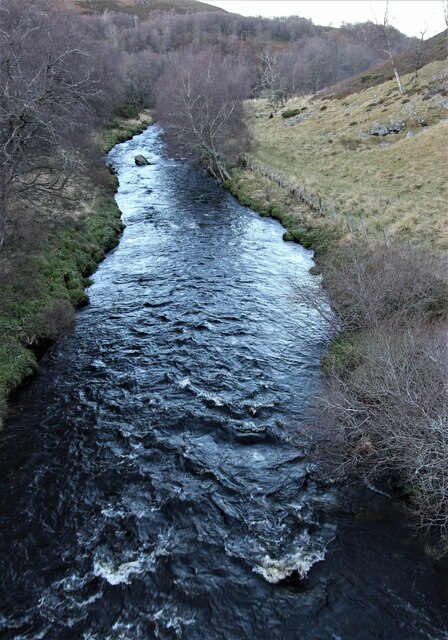
Covering a surface area of approximately 2.5 acres, Sauchen Pot is a relatively small body of water that exudes a sense of intimacy and charm. Surrounded by verdant vegetation, the pond boasts crystal-clear waters that reflect the vibrant colors of the surrounding landscape. It serves as a habitat for various species of aquatic plants and animals, creating a rich and diverse ecosystem.

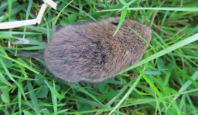
The pond's shallow depths make it ideal for leisurely activities such as fishing and boating. Anglers frequent Sauchen Pot to try their luck at catching brown trout, which thrive in the pond's nutrient-rich waters. Additionally, the pond is home to a variety of waterfowl, including ducks and geese, making it a haven for birdwatchers and nature enthusiasts alike.

The marshy areas surrounding Sauchen Pot add to its allure, providing a habitat for several species of plants and wildlife. Visitors can explore the marshes on foot, observing the unique flora and fauna that thrive in this wetland habitat.

Sauchen Pot offers a sense of tranquility and natural beauty that captivates all who visit. Its serene ambiance, scenic surroundings, and abundant wildlife make it an idyllic destination for those seeking to connect with nature and unwind in a peaceful environment.

If you have any feedback on the listing, please let us know in the comments section below.
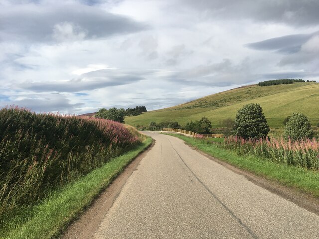
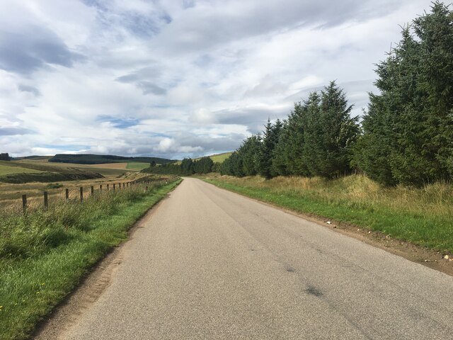
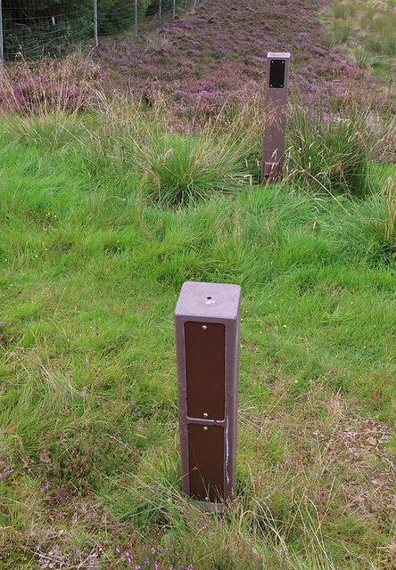
Sauchen Pot Images

Images are sourced within 2km of 57.361755/-3.0320393 or Grid Reference NJ3830. Thanks to Geograph Open Source API. All images are credited.

River Deveron from the Bridge of King's Ford
A941 passing unusual monument The monument is unusual in that it was, according to the inscription.... "Erected from surplus funds of a bazaar held to pay off the debt on six bridges built on the road between Dufftown and Cabrach".
A941 passing unusual monument
The monument is unusual in that it was, according to the inscription.... "Erected from surplus funds of a bazaar held to pay off the debt on six bridges built on the road between Dufftown and Cabrach".
The upper River Deveron Looking downstream.
The upper River Deveron
Looking downstream.
An unusual memorial beside the A941 For a clear view of the inscription, and comment on why it is unusual, see <a href="https://www.geograph.org.uk/photo/6214266">NJ3729 : An unusual memorial beside the A941</a>.
An unusual memorial beside the A941
For a clear view of the inscription, and comment on why it is unusual, see NJ3729 : An unusual memorial beside the A941.
An unusual memorial beside the A941 This shows the inscription on the memorial shown in <a href="https://www.geograph.org.uk/photo/6214258">NJ3729 : An unusual memorial beside the A941</a>. Why is it unusual? Well, here we have some public expenditure and at the end there is a surplus. I would think, almost unique. (Of course in these more enlightened times it would be impossible: the money would just vanish back to the Treasury.)
An unusual memorial beside the A941
This shows the inscription on the memorial shown in NJ3729 : An unusual memorial beside the A941. Why is it unusual? Well, here we have some public expenditure and at the end there is a surplus. I would think, almost unique. (Of course in these more enlightened times it would be impossible: the money would just vanish back to the Treasury.)
The shallow valley of Burn Treble
Burn Treble above A941 road
Converted church at Inverharroch
Blackwater Bridge
Blackwater Bridge
The Grouse Inn, Cabrach
Field entrance near Berry Hillock
A941 near Inverharroch
A941 towards Dufftown
Gateposts?
Gateposts?
A Vole It didn't stay around long enough to be photographed again.
A Vole
It didn't stay around long enough to be photographed again.
The upper River Deveron Looking upstream.
The upper River Deveron
Looking upstream.
The upper River Deveron From Bridge of King's Ford.
The upper River Deveron
From Bridge of King's Ford.
Show me another place!

Sauchen Pot is located at Grid Ref: NJ3830 (Lat: 57.361755, Lng: -3.0320393)

Unitary Authority: Moray

Police Authority: North East

What 3 Words

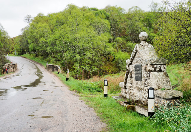
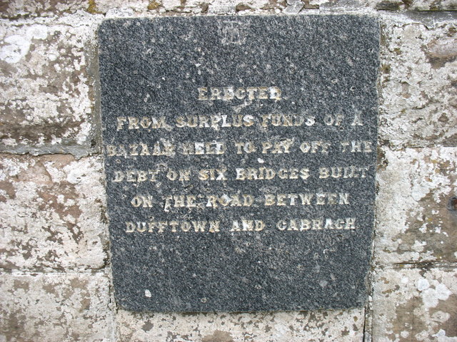
///positives.uptake.mended. Near Dufftown, Moray

Related Wikis

Cabrach

The Cabrach (Scottish Gaelic: A' Chabrach, A' Chabraich) is an estate and largely depopulated rural community in Moray, Scotland. The meaning of the name...

Clashindarroch Forest

Clashindarroch Forest is possibly the largest forest in Aberdeenshire, situated to the south-west of the market town of Huntly. Managed by Forest Enterprise...

Wormy Hillock Henge

Wormy Hillock Henge, also known as The Dragon's Grave, is a small henge in Aberdeenshire, Scotland. It is a Scheduled Ancient Monument located in the Clashindarroch...
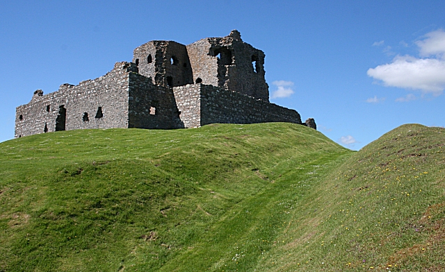
Auchindoun Castle

Auchindoun Castle is a 15th-century L-Plan tower castle located in Auchindoun near Dufftown in Moray, Scotland. == History == While there is evidence of...

Beldorney Castle

Beldorney Castle is a Z-plan castle dating from the mid-16th century, about two miles south of Glass, in hilly country in the valley of the Deveron, in...

Glass, Aberdeenshire

Glass is a parish about 8 miles west of Huntly, Aberdeenshire, Scotland. It is now wholly located in Aberdeenshire but before the reorganisation of Scottish...

Lesmoir Castle

Lesmoir Castle was a 16th-century castle, about 2.0 miles (3.2 km) west of Rhynie, Aberdeenshire, Scotland, south-west of Tap o' Noth, at Mains of Lesmoir...

River Fiddich

The River Fiddich (Scottish Gaelic: Fiodhach / Abhainn Fhiodhaich) is a right bank tributary of the River Spey in northeast Scotland. It rises on the eastern...

Nearby Amenities

Located within 500m of 57.361755,-3.0320393
Proposed Cabrach Heritage Centre
Tourism: museum
Lat/Long: 57.3660264/-3.0309514
Power: pole
Lat/Long: 57.3655657/-3.0290711
Power: pole
Lat/Long: 57.3651604/-3.0294244
Power: pole
Lat/Long: 57.3648021/-3.0297104
Power: pole
Lat/Long: 57.364167/-3.0302515
Power: pole
Lat/Long: 57.3635924/-3.0307548
Power: pole
Lat/Long: 57.3633992/-3.0315777
Power: pole
Lat/Long: 57.3629/-3.0320418
Power: pole
Lat/Long: 57.3622208/-3.032703
Power: pole
Lat/Long: 57.3616157/-3.0332834
Power: pole
Lat/Long: 57.3612093/-3.0337156
Power: pole
Lat/Long: 57.3606271/-3.0342848
Power: pole
Lat/Long: 57.3601031/-3.0347881
Power: pole
Lat/Long: 57.3595806/-3.035611
Power: pole
Lat/Long: 57.3590604/-3.0364353
Power: pole
Lat/Long: 57.3585114/-3.0372989
Communication Mobile Phone: yes
Man Made: mast
Tower Type: communication
Lat/Long: 57.3591414/-3.037561
The data included in this document is from www.openstreetmap.org. The data is made available under ODbL.

Have you been to Sauchen Pot?

Leave your review of Sauchen Pot below (or comments, questions and feedback).