Loch of Wasday
Lake, Pool, Pond, Freshwater Marsh in Orkney
Scotland
Loch of Wasday
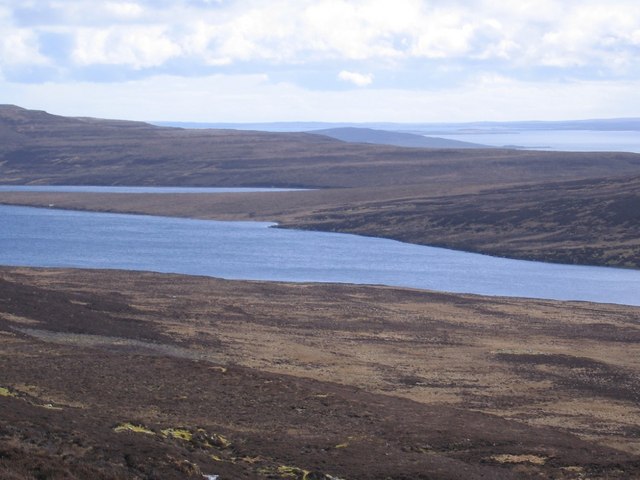
Loch of Wasday is a picturesque freshwater loch located on the island of Westray in the Orkney archipelago, off the northeastern coast of Scotland. Covering an area of approximately 110 hectares, it is one of the largest lochs in Orkney.
Surrounded by gently rolling hills and heather-covered moorland, Loch of Wasday is a haven for wildlife enthusiasts and nature lovers. The loch's calm and tranquil waters serve as a sanctuary for a diverse range of bird species throughout the year, making it a popular destination for birdwatching. Visitors can often spot wading birds such as redshanks, dunlins, and curlews, as well as the elusive hen harriers and short-eared owls that frequent the area.
The loch itself is home to various fish species including brown trout and Arctic char, attracting anglers looking for a relaxing day of fishing. Additionally, the loch's surrounding wetland areas provide a unique habitat for a variety of plant species, creating a lush and vibrant ecosystem.
Access to Loch of Wasday is relatively easy, with a well-maintained car park located nearby. Several footpaths and trails surround the loch, allowing visitors to explore the area's natural beauty at their own pace. The loch's serene atmosphere, combined with its stunning panoramic views, make it an ideal spot for leisurely walks or picnics.
Overall, Loch of Wasday offers a peaceful and idyllic setting for nature enthusiasts, providing a rich tapestry of wildlife and natural beauty that is sure to captivate visitors.
If you have any feedback on the listing, please let us know in the comments section below.
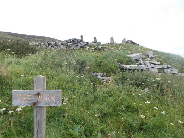
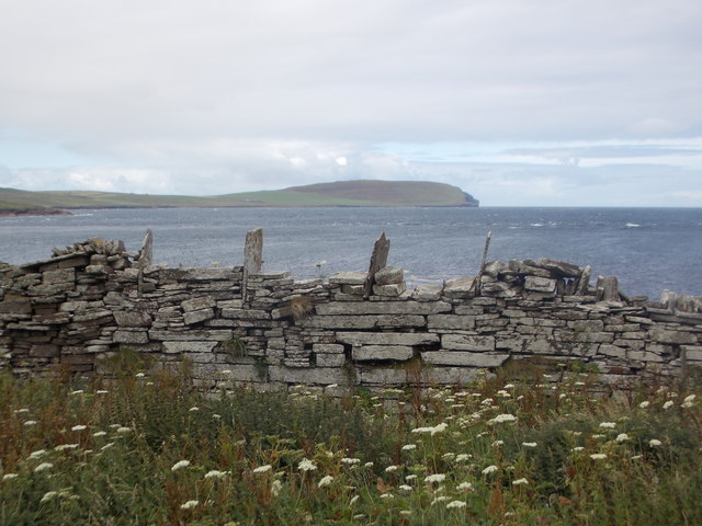
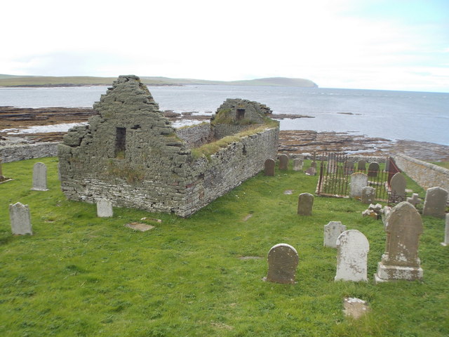
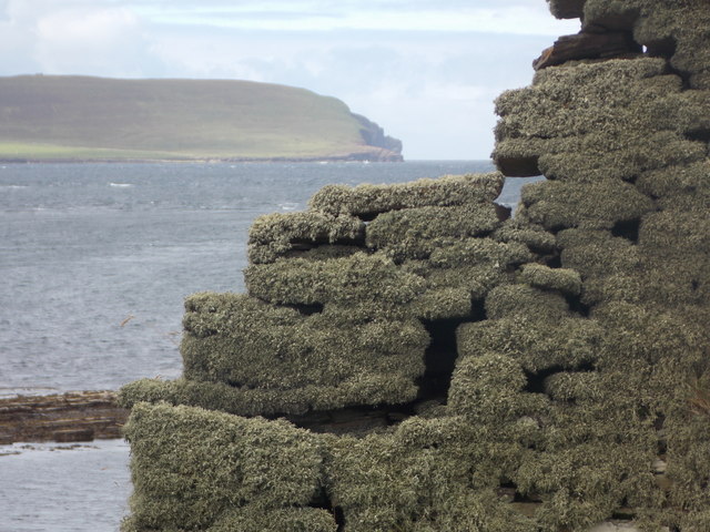
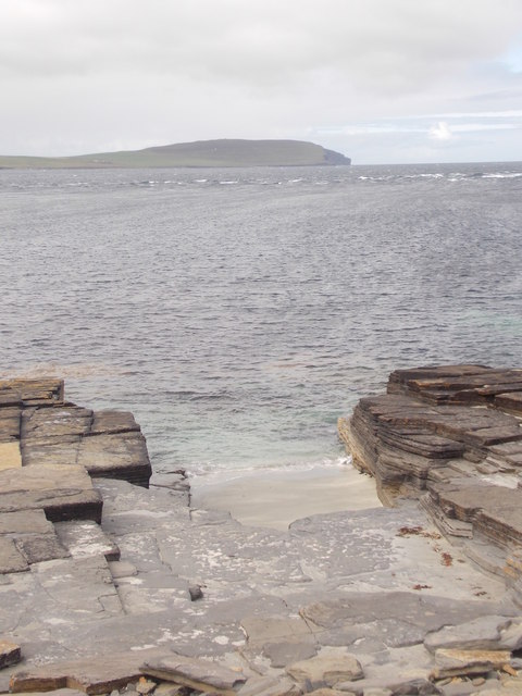
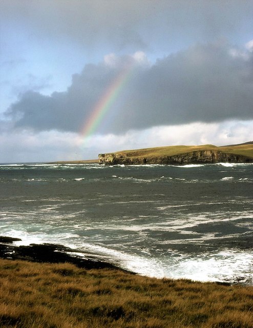
Loch of Wasday Images
Images are sourced within 2km of 59.152405/-3.0847495 or Grid Reference HY3830. Thanks to Geograph Open Source API. All images are credited.
Loch of Wasday is located at Grid Ref: HY3830 (Lat: 59.152405, Lng: -3.0847495)
Unitary Authority: Orkney Islands
Police Authority: Highlands and Islands
What 3 Words
///octagon.courage.immune. Near Evie, Orkney Islands
Nearby Locations
Related Wikis

Knowe of Swandro
The Knowe of Swandro is an archaeological site located on the Bay of Swandro on Rousay in Orkney, Scotland. The site consists of a 5000-year-old Neolithic...

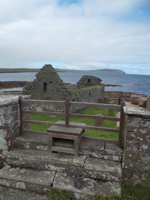
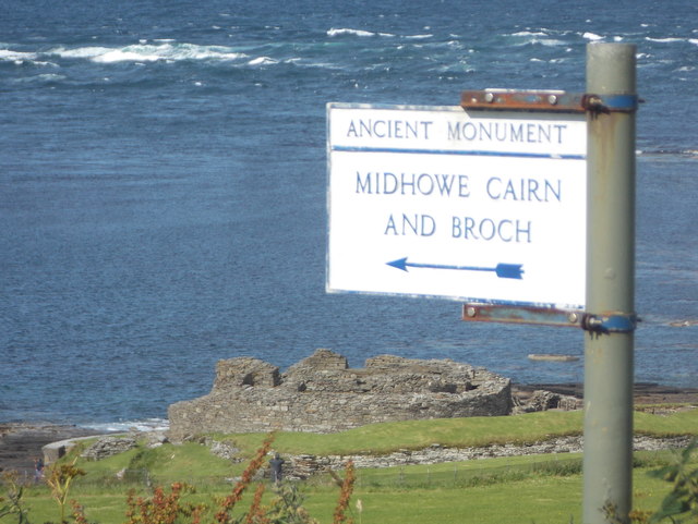
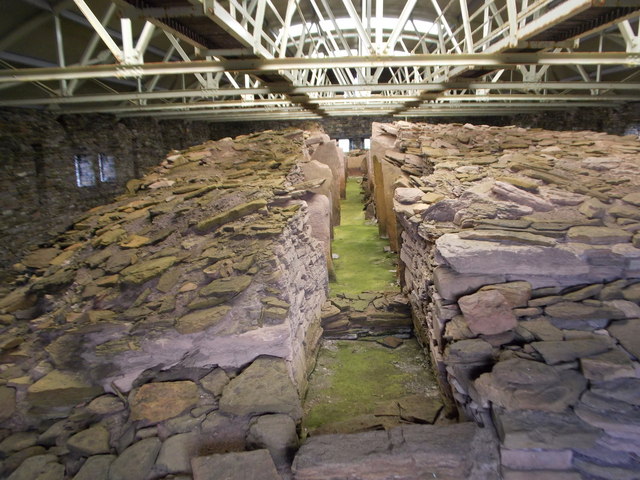
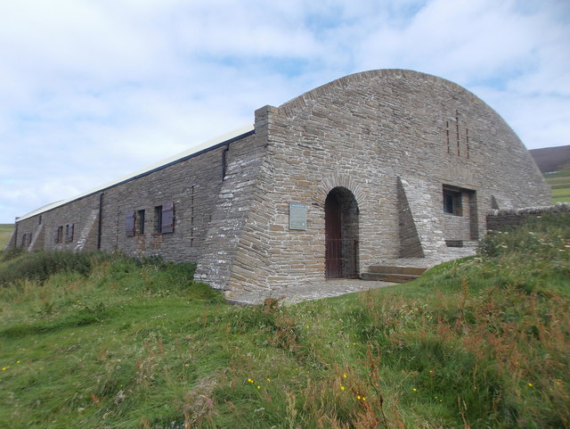
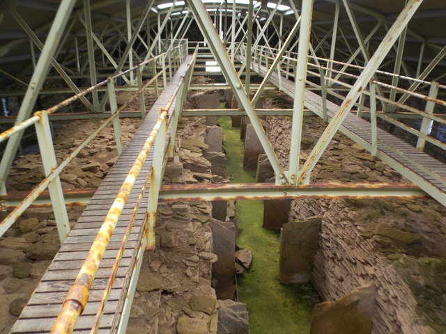
Midhowe Chambered Cairn
Midhowe Chambered Cairn is a large Neolithic chambered cairn located on the south shore of the island of Rousay, Orkney, Scotland. The name "Midhowe" comes...

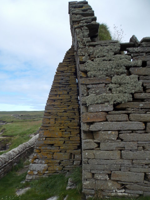
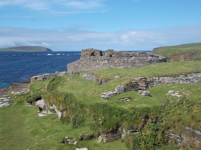
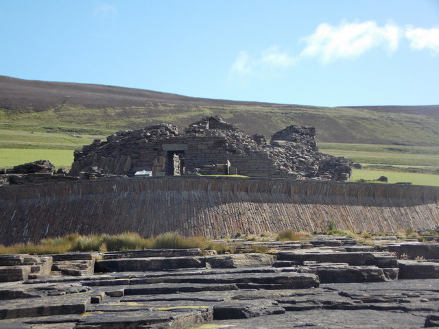
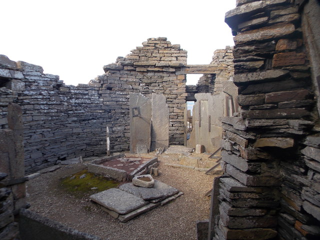
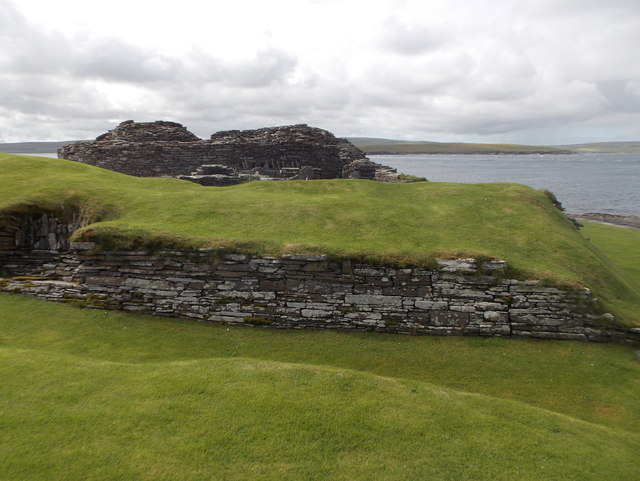
Midhowe Broch
Midhowe Broch () is an Iron Age broch located on the west coast of the island of Rousay in the Orkney Islands, in Scotland. == Description == Midhowe...
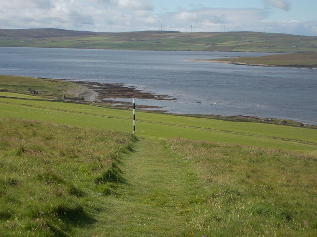
Muckle Water
Muckle Water is a long, narrow fresh water loch on Ward Hill on Rousay, Orkney, Scotland. It is the biggest loch on the island and is popular for fishing...
Nearby Amenities
Located within 500m of 59.152405,-3.0847495Have you been to Loch of Wasday?
Leave your review of Loch of Wasday below (or comments, questions and feedback).