Dalriach Pot
Lake, Pool, Pond, Freshwater Marsh in Banffshire
Scotland
Dalriach Pot
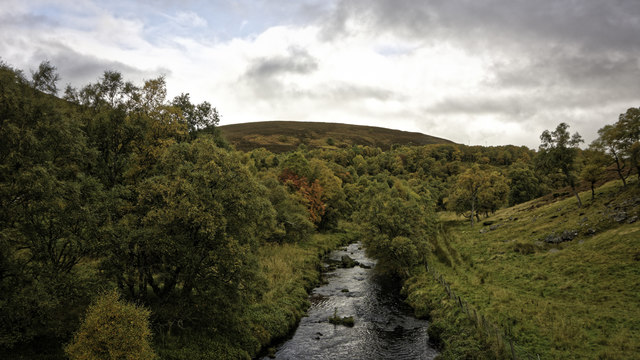
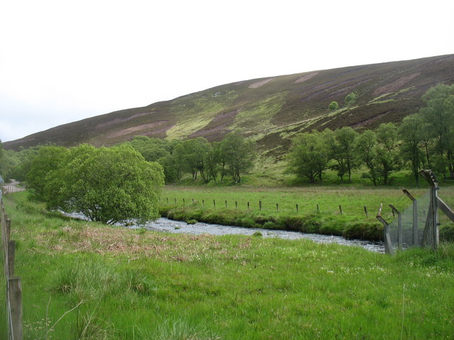
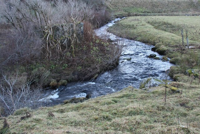
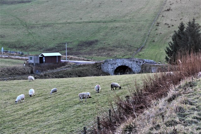
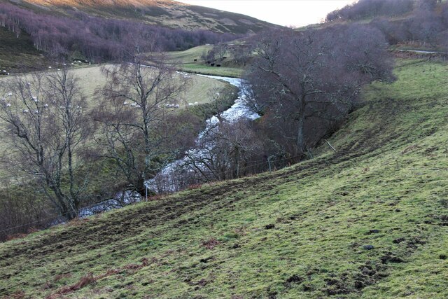
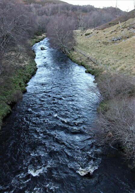
Dalriach Pot, located in Banffshire, Scotland, is a picturesque freshwater marsh that boasts a diverse ecosystem and captivating natural beauty. Nestled amidst rolling hills and verdant landscapes, this enchanting body of water offers a peaceful retreat for both nature enthusiasts and casual visitors alike.
Measuring approximately 1.5 acres in size, Dalriach Pot is a small yet vibrant ecosystem teeming with life. Its still waters reflect the surrounding greenery, creating a stunning visual spectacle. The pot is fed by a combination of rainwater and natural springs, ensuring a constant flow of fresh water throughout the year.
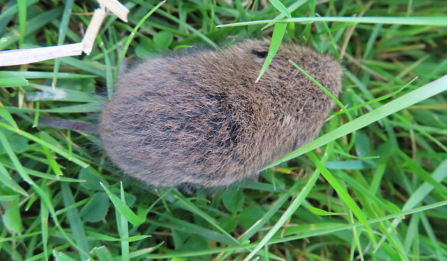
The pot's marshy shoreline is home to an array of plant species, including reeds, rushes, and various types of sedges. These aquatic plants provide a habitat for numerous aquatic insects, such as dragonflies and water beetles, as well as small fish species like minnows and sticklebacks. The pot also attracts a variety of bird species, including ducks, moorhens, and herons, which find shelter and sustenance among the reeds.
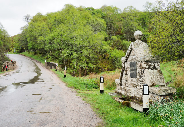
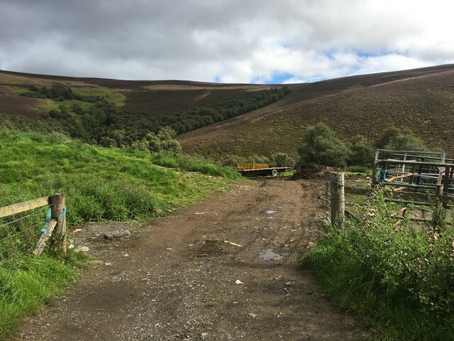
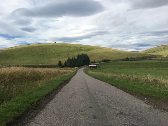
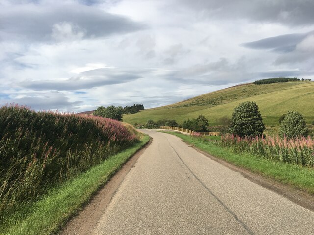
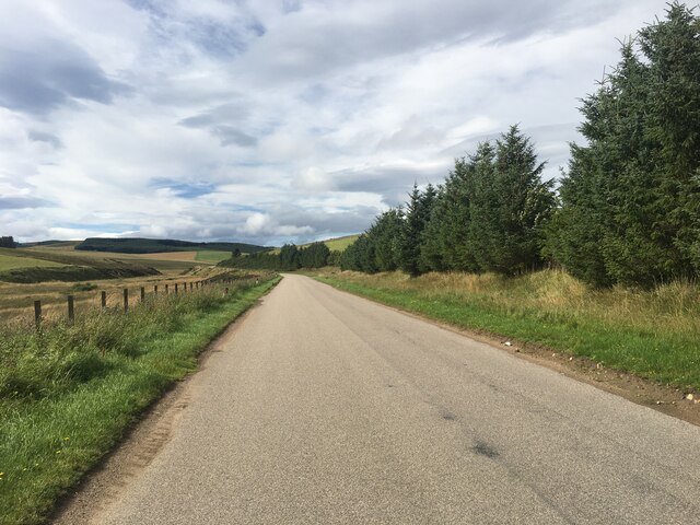
Visitors to Dalriach Pot can explore the area via a network of well-maintained footpaths that wind through the surrounding countryside. These paths offer panoramic views of the pot and its surrounding marsh, providing ample opportunities to observe the diverse wildlife in their natural habitat.
Dalriach Pot, with its tranquil ambiance and thriving ecosystem, serves as a testament to the beauty and resilience of Scotland's natural landscapes. Whether you're a bird watcher, a nature lover, or simply seeking solace in the serenity of the outdoors, this freshwater marsh promises a memorable and fulfilling experience for all who venture to its shores.
If you have any feedback on the listing, please let us know in the comments section below.
Dalriach Pot Images
Images are sourced within 2km of 57.363379/-3.0277792 or Grid Reference NJ3830. Thanks to Geograph Open Source API. All images are credited.
Dalriach Pot is located at Grid Ref: NJ3830 (Lat: 57.363379, Lng: -3.0277792)
Unitary Authority: Moray
Police Authority: North East
What 3 Words
///squeaks.extremely.leafing. Near Dufftown, Moray
Nearby Locations
Related Wikis

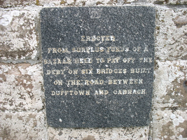
Cabrach
The Cabrach (Scottish Gaelic: A' Chabrach, A' Chabraich) is an estate and largely depopulated rural community in Moray, Scotland. The meaning of the name...

Clashindarroch Forest
Clashindarroch Forest is possibly the largest forest in Aberdeenshire, situated to the south-west of the market town of Huntly. Managed by Forest Enterprise...

Wormy Hillock Henge
Wormy Hillock Henge, also known as The Dragon's Grave, is a small henge in Aberdeenshire, Scotland. It is a Scheduled Ancient Monument located in the Clashindarroch...

Beldorney Castle
Beldorney Castle is a Z-plan castle dating from the mid-16th century, about two miles south of Glass, in hilly country in the valley of the Deveron, in...
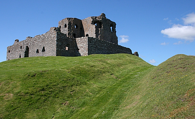
Auchindoun Castle
Auchindoun Castle is a 15th-century L-Plan tower castle located in Auchindoun near Dufftown in Moray, Scotland. == History == While there is evidence of...

Glass, Aberdeenshire
Glass is a parish about 8 miles west of Huntly, Aberdeenshire, Scotland. It is now wholly located in Aberdeenshire but before the reorganisation of Scottish...
Lesmoir Castle
Lesmoir Castle was a 16th-century castle, about 2.0 miles (3.2 km) west of Rhynie, Aberdeenshire, Scotland, south-west of Tap o' Noth, at Mains of Lesmoir...
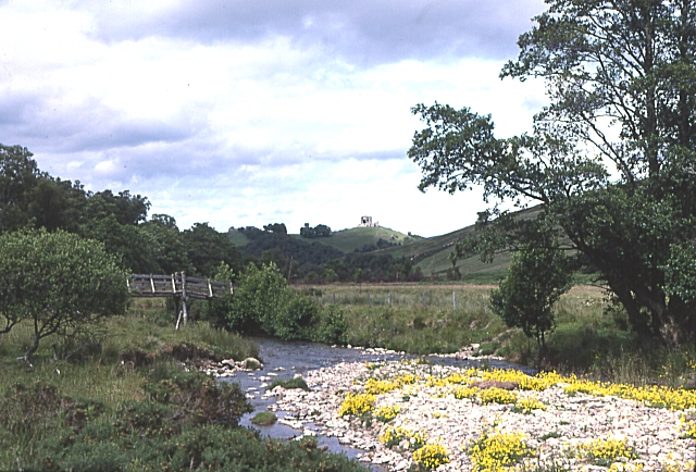
River Fiddich
The River Fiddich (Scottish Gaelic: Fiodhach / Abhainn Fhiodhaich) is a right bank tributary of the River Spey in northeast Scotland. It rises on the eastern...
Nearby Amenities
Located within 500m of 57.363379,-3.0277792Have you been to Dalriach Pot?
Leave your review of Dalriach Pot below (or comments, questions and feedback).