Sowy River Flood Relief Channel
Lake, Pool, Pond, Freshwater Marsh in Somerset South Somerset
England
Sowy River Flood Relief Channel
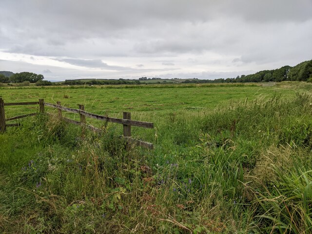
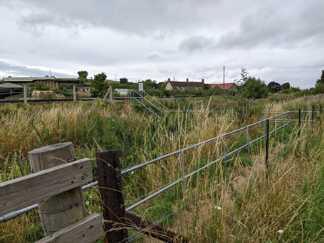
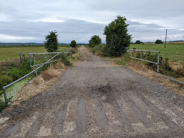
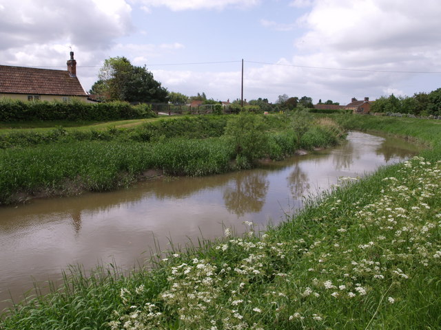
The Sowy River Flood Relief Channel, located in Somerset, England, is a strategically designed water management system that acts as a flood alleviation measure for the surrounding low-lying areas. Covering an area of approximately 12,000 hectares, this channel plays a crucial role in protecting local communities and farmland from the devastating effects of flooding.
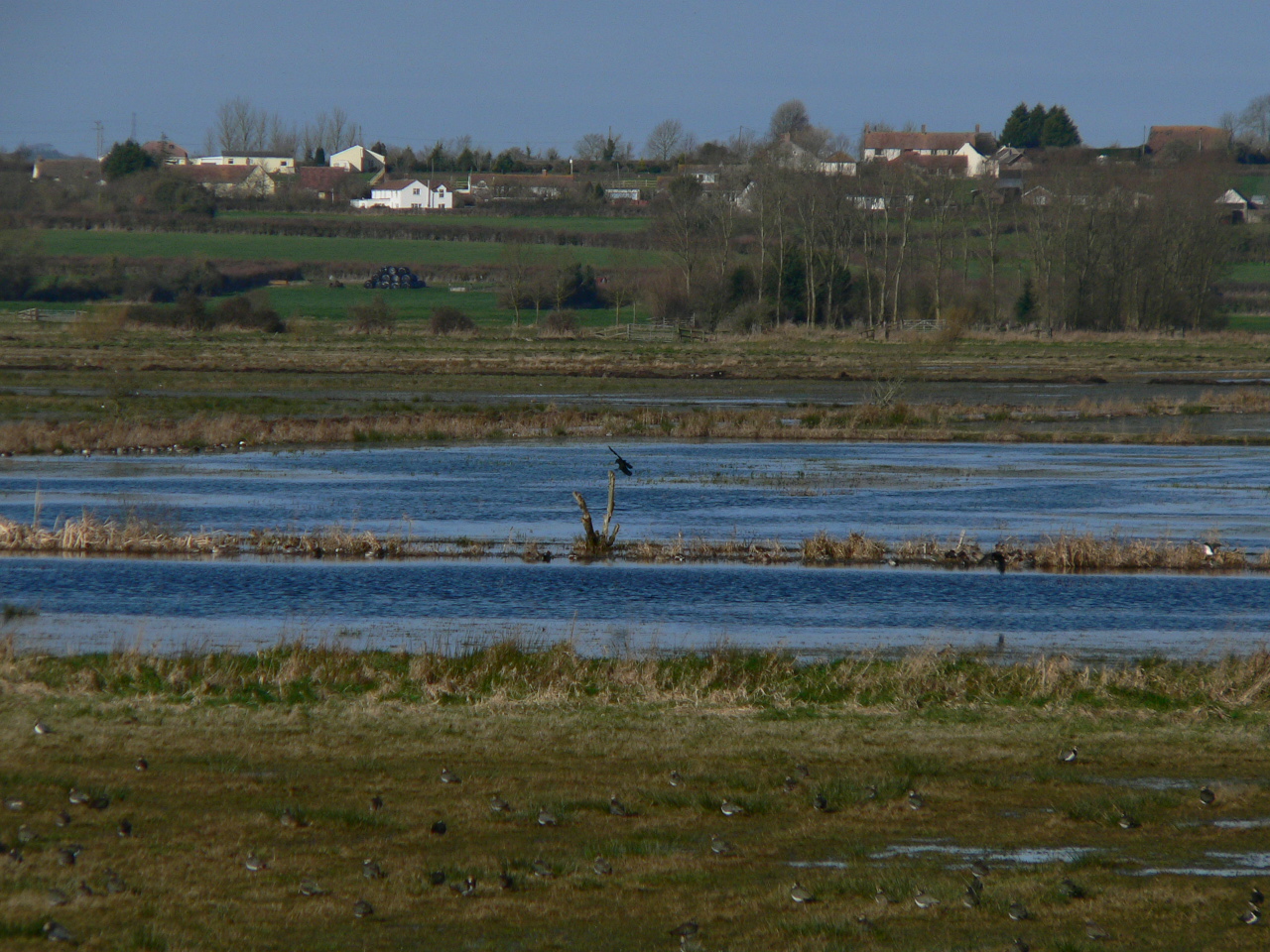
The Sowy River Flood Relief Channel consists of several components, including a lake, pool, pond, and freshwater marsh, which work together to effectively manage excess water during periods of heavy rainfall. The lake acts as a storage reservoir, capable of holding large volumes of water to prevent downstream flooding. Connected to the lake are pools and ponds, which provide additional storage capacity and help regulate the flow of water.
The freshwater marshes within the channel serve multiple purposes. They act as natural filters, removing pollutants and sediments from the water before it is discharged back into the river system. These marshes also provide valuable wildlife habitats, supporting a diverse range of plant and animal species.
The Sowy River Flood Relief Channel was constructed in the 1970s as a response to the frequent flooding events experienced in the Somerset Levels. The channel is managed by the Somerset Rivers Authority, working in collaboration with local authorities and the Environment Agency to ensure its effective operation.
Overall, the Sowy River Flood Relief Channel is an essential infrastructure project in Somerset, providing vital flood protection and contributing to the conservation of the region's natural environment.
If you have any feedback on the listing, please let us know in the comments section below.
Sowy River Flood Relief Channel Images
Images are sourced within 2km of 51.050253/-2.8847169 or Grid Reference ST3828. Thanks to Geograph Open Source API. All images are credited.


Sowy River Flood Relief Channel is located at Grid Ref: ST3828 (Lat: 51.050253, Lng: -2.8847169)
Administrative County: Somerset
District: South Somerset
Police Authority: Avon and Somerset
What 3 Words
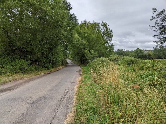
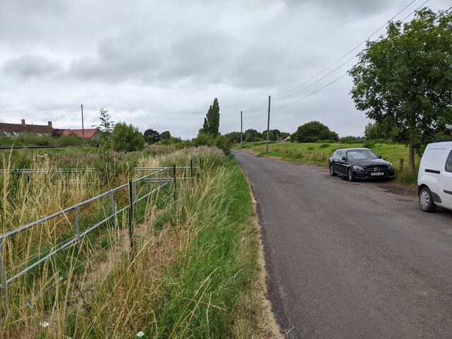
///intro.robots.irony. Near Curry Rivel, Somerset
Nearby Locations
Related Wikis
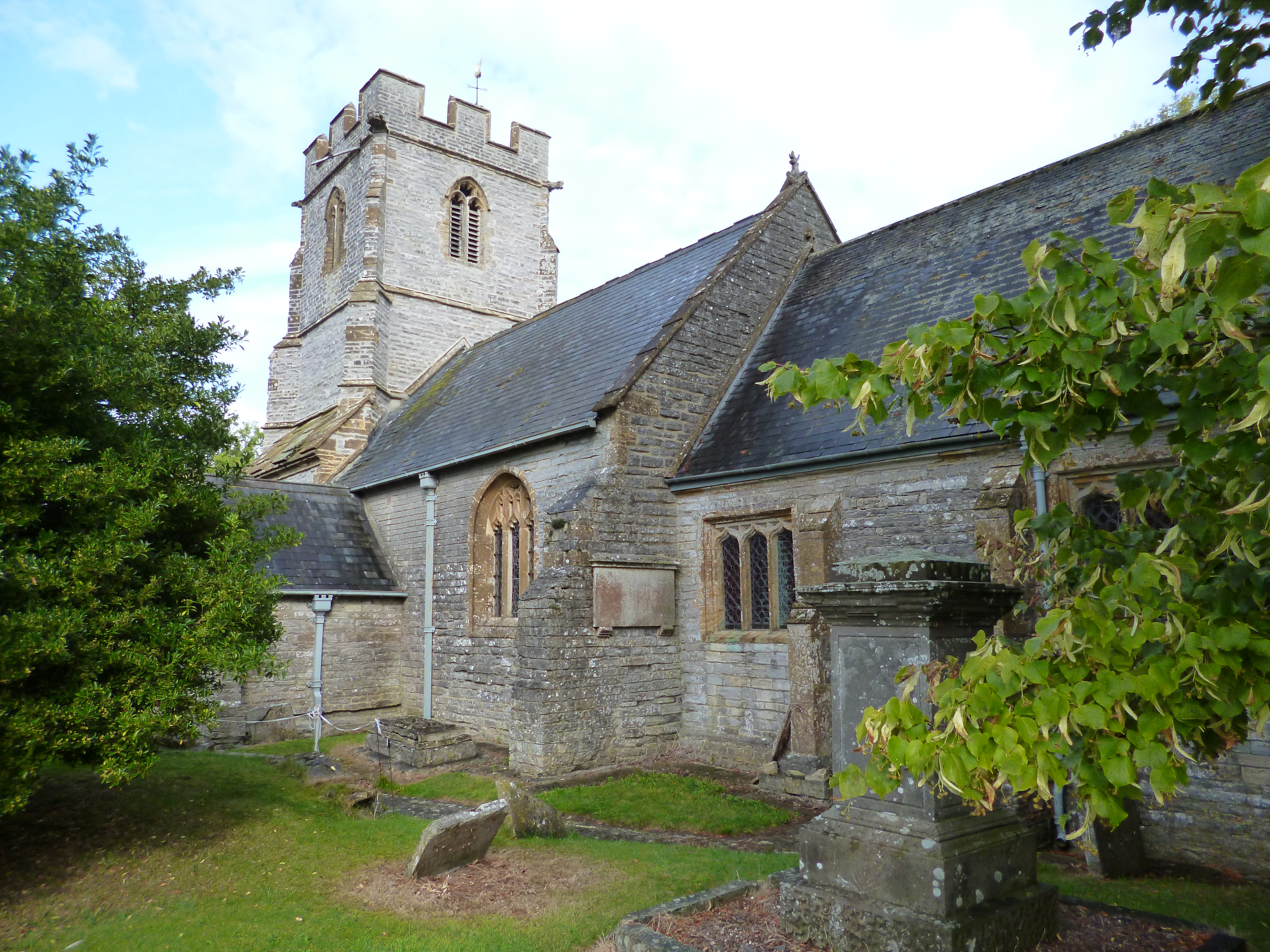
Church of St Andrew, Aller
The Anglican Church of St Andrew in Aller, Somerset, England, was built in the 11th century. It is a Grade II* listed building. == History == The Church...

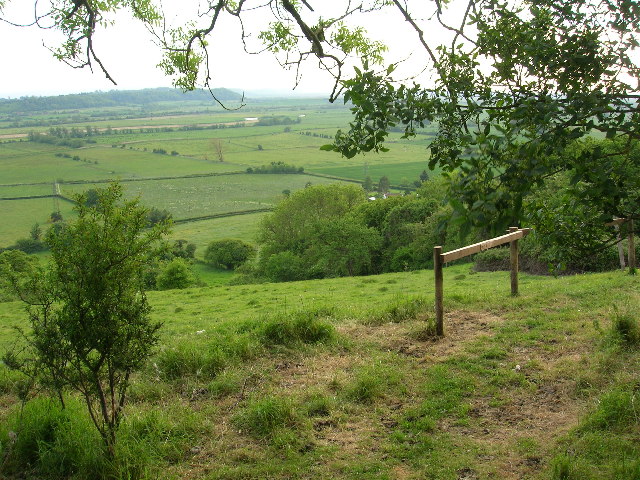
Southlake Moor
Southlake Moor (grid reference ST370300) is a 196.1 hectare (484.6 acre) biological Site of Special Scientific Interest near Burrow Mump and Burrowbridge...

Aller, Somerset
Aller is a village and parish in Somerset, England, situated 5 miles (8.0 km) west of Somerton on the A372 road towards Bridgwater. The village has a population...
Aller Hill
Aller Hill (grid reference ST408291) is an 18.4 hectare (45.4 acre) biological Site of Special Scientific Interest near Aller in Somerset, notified in...
River Tone
The River Tone is a river in the English county of Somerset. The river is about 33 kilometres (21 mi) long. Its source is at Beverton Pond near Huish Champflower...

St Andrew's Church, Curry Rivel
The Church of St Andrew in Curry Rivel, Somerset, England dates from the 13th century and is designated as a Grade I listed building. It was included in...
Curry Rivel
Curry Rivel is a village and civil parish in Somerset, England, situated 6 miles (9.7 km) west of Somerton and 10 miles (16.1 km) east of Taunton in the...
West Sedgemoor
West Sedgemoor or West Sedge Moor (grid reference ST361258) is an area of the Somerset Levels, in Somerset, England, around 8 miles (13 km) east of Taunton...
Nearby Amenities
Located within 500m of 51.050253,-2.8847169Have you been to Sowy River Flood Relief Channel?
Leave your review of Sowy River Flood Relief Channel below (or comments, questions and feedback).