Aller Moor
Downs, Moorland in Somerset South Somerset
England
Aller Moor
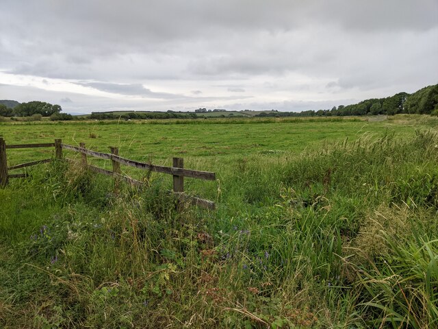
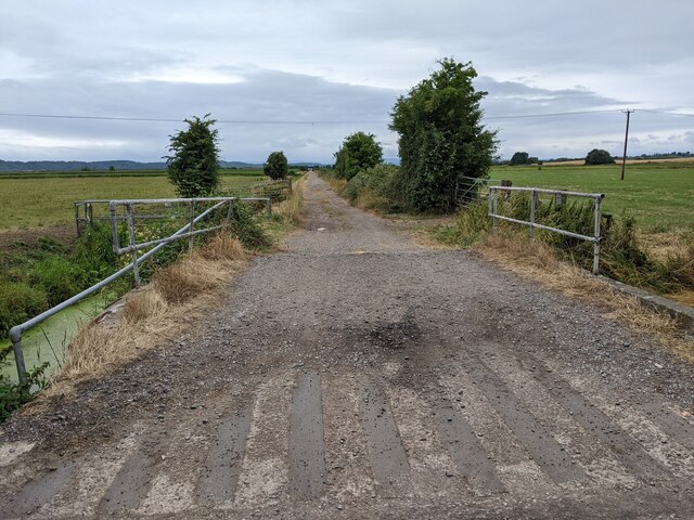
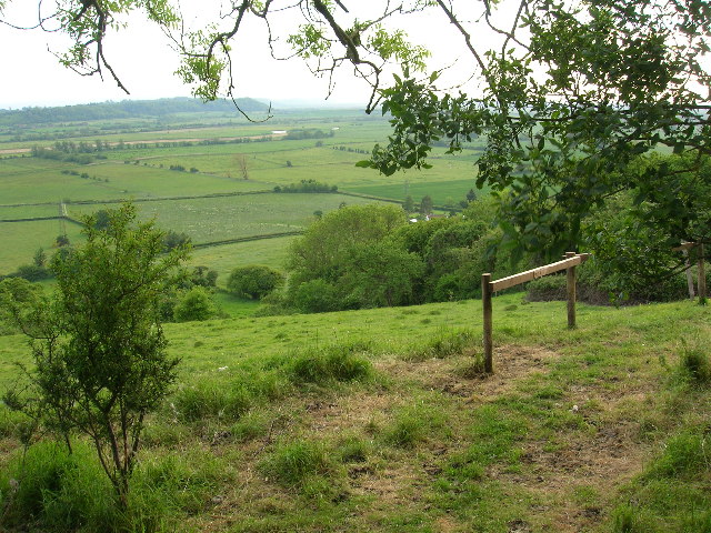
Aller Moor is a picturesque expanse of moorland located in Somerset, England. Situated near the village of Aller, this area is characterized by its diverse landscape, combining rolling hills, open grasslands, and small wooded areas. Covering an area of approximately 2,500 acres, Aller Moor is a significant natural habitat for various species of flora and fauna.
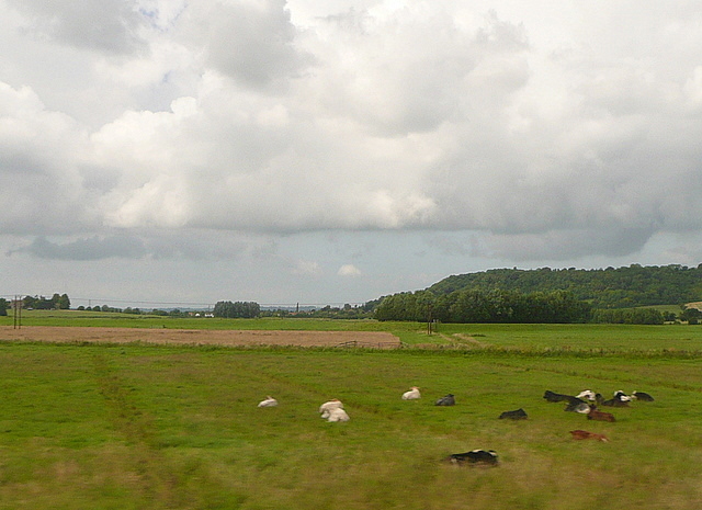
The moorland is primarily composed of heather, gorse, and grasses, creating a vibrant display of colors throughout the year. These vegetation types provide an ideal habitat for a range of wildlife, including birds such as skylarks, stonechats, and meadow pipits. The moorland is also home to mammals like rabbits, foxes, and occasionally deer.
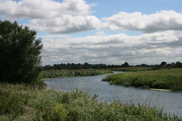
Aller Moor is intersected by several small streams and drainage ditches, which contribute to the unique wetland ecosystem found in the area. These water bodies provide additional niches for various plants and animals, including dragonflies, frogs, and water voles.
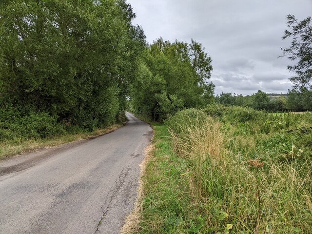
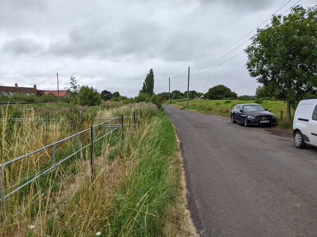
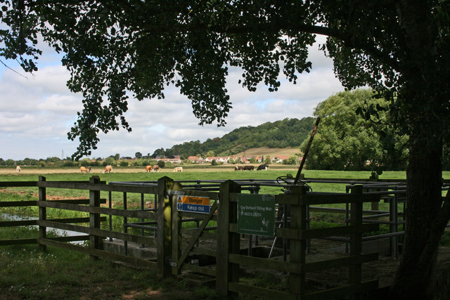
The moorland is a popular destination for nature enthusiasts, hikers, and birdwatchers, offering stunning panoramic views of the surrounding Somerset countryside. Visitors can explore the area via several footpaths and bridleways, which allow for a closer encounter with the diverse flora and fauna.
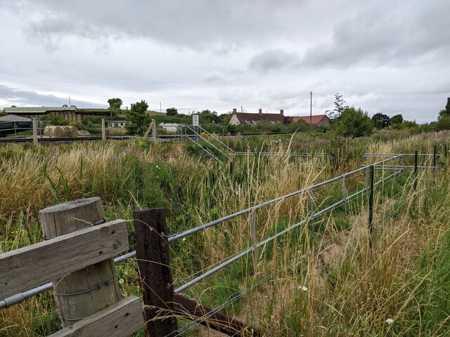
Aller Moor is an important site for conservation, as it is part of the Somerset Levels and Moors Special Protection Area and is recognized as a Site of Special Scientific Interest. The management of the moorland aims to preserve its natural beauty and protect the unique habitats it provides for wildlife.
If you have any feedback on the listing, please let us know in the comments section below.
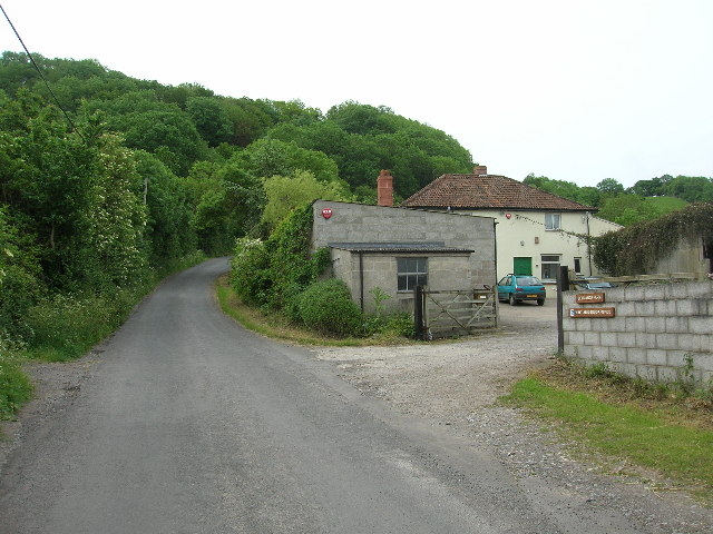
Aller Moor Images
Images are sourced within 2km of 51.052444/-2.8780246 or Grid Reference ST3828. Thanks to Geograph Open Source API. All images are credited.


Aller Moor is located at Grid Ref: ST3828 (Lat: 51.052444, Lng: -2.8780246)
Administrative County: Somerset
District: South Somerset
Police Authority: Avon and Somerset
What 3 Words
///landmark.definite.snowy. Near Curry Rivel, Somerset
Nearby Locations
Related Wikis

Church of St Andrew, Aller
The Anglican Church of St Andrew in Aller, Somerset, England, was built in the 11th century. It is a Grade II* listed building. == History == The Church...

Aller, Somerset
Aller is a village and parish in Somerset, England, situated 5 miles (8.0 km) west of Somerton on the A372 road towards Bridgwater. The village has a population...

Southlake Moor
Southlake Moor (grid reference ST370300) is a 196.1 hectare (484.6 acre) biological Site of Special Scientific Interest near Burrow Mump and Burrowbridge...
Aller Hill
Aller Hill (grid reference ST408291) is an 18.4 hectare (45.4 acre) biological Site of Special Scientific Interest near Aller in Somerset, notified in...
Nearby Amenities
Located within 500m of 51.052444,-2.8780246Have you been to Aller Moor?
Leave your review of Aller Moor below (or comments, questions and feedback).