Grangepans
Settlement in West Lothian
Scotland
Grangepans
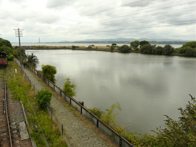
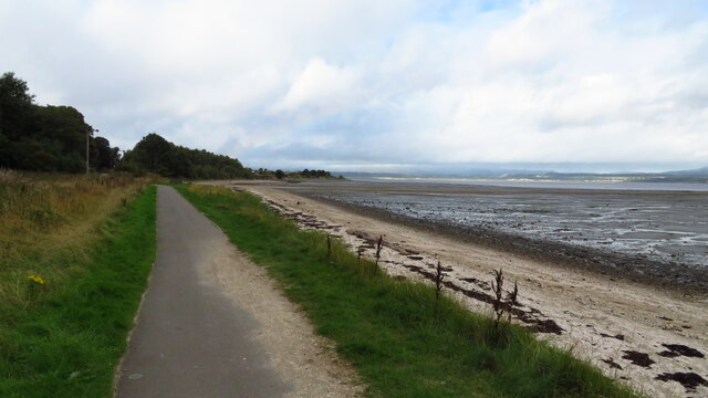
Grangepans is a small village located in the county of West Lothian, Scotland. Situated on the southern banks of the Firth of Forth, the village offers picturesque views of the river and the surrounding countryside.
The history of Grangepans dates back several centuries, with evidence of settlement in the area as early as the 12th century. The village initially thrived due to its proximity to the river, which provided valuable fishing opportunities and a means of transportation for trade. Today, it retains its charm as a quiet and close-knit community.
The village is known for its quaint cottages and traditional architecture, reflecting its rich history. The local economy is primarily based on agriculture and fishing, with some residents also commuting to nearby towns and cities for employment. Grangepans has a strong sense of community, with several social and recreational organizations catering to the residents' needs.
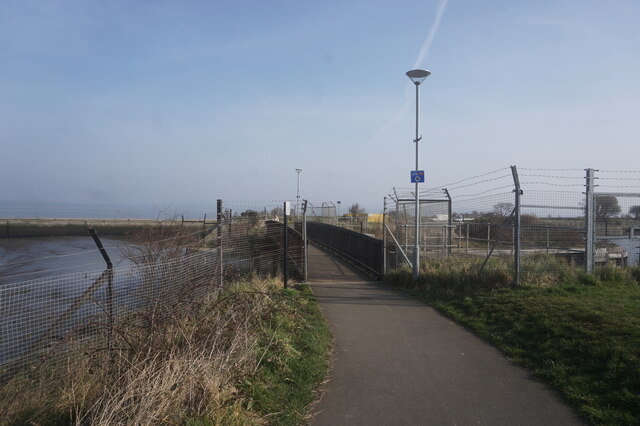
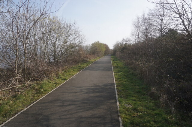
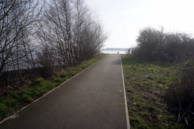
For nature enthusiasts, Grangepans offers ample opportunities for outdoor activities. The nearby coastline is ideal for leisurely walks, and the surrounding countryside provides numerous hiking trails. The village is also within close proximity to several nature reserves and parks, making it a popular destination for birdwatching and wildlife spotting.
Transportation in Grangepans is convenient, with regular bus services connecting the village to nearby towns and cities. The village is located just off the A904 road, providing easy access to the wider West Lothian area.
In summary, Grangepans is a charming village in West Lothian, Scotland, offering a peaceful and idyllic lifestyle surrounded by natural beauty. With its rich history, strong community spirit, and proximity to both the countryside and the coast, it is an ideal place to live for those seeking a quieter pace of life.
If you have any feedback on the listing, please let us know in the comments section below.
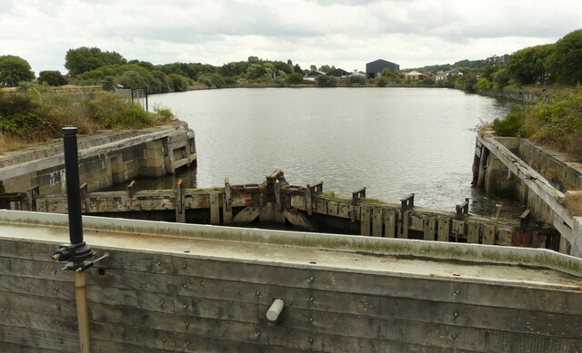
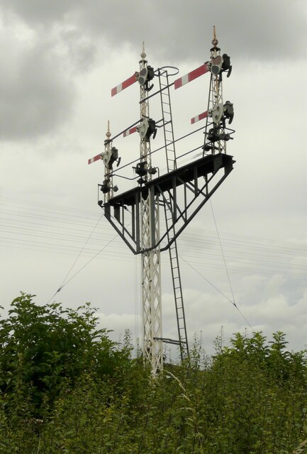
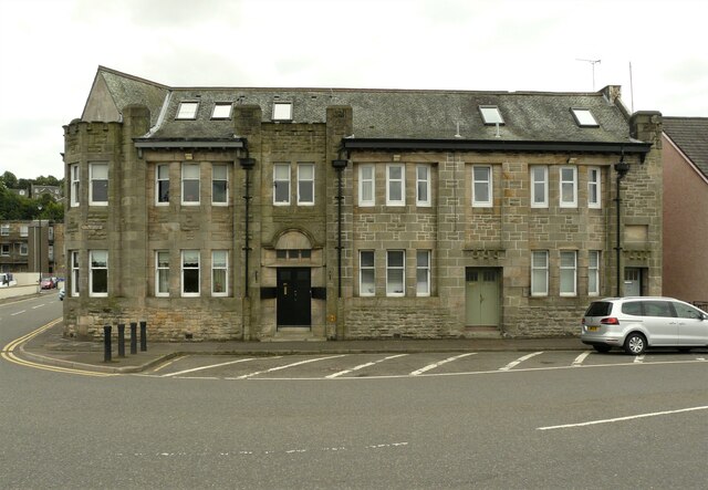
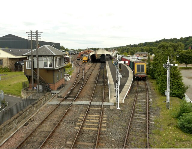
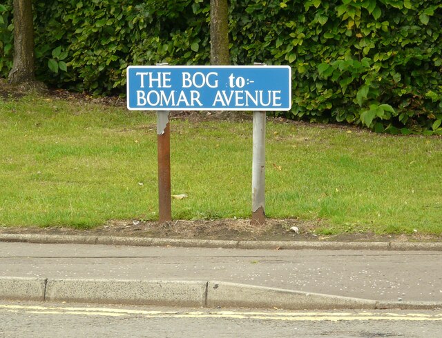
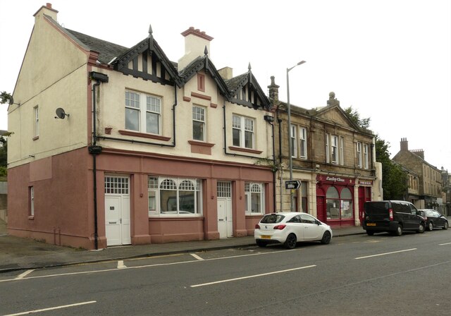
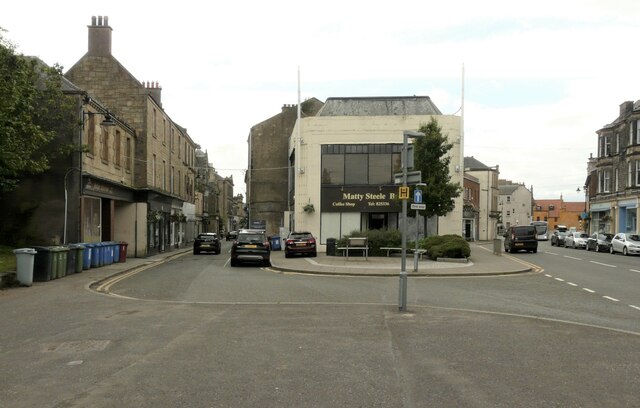
Grangepans Images
Images are sourced within 2km of 56.015131/-3.590122 or Grid Reference NT0081. Thanks to Geograph Open Source API. All images are credited.


Grangepans is located at Grid Ref: NT0081 (Lat: 56.015131, Lng: -3.590122)
Unitary Authority: Falkirk
Police Authority: Forth Valley
What 3 Words
///knee.tinned.uttering. Near Bo’ness, Falkirk
Nearby Locations
Related Wikis

Grange House
Grange House (also known as Grangepans, Grange, Old Grange, and Grange Hamilton) was an estate house near Bo'ness, West Lothian (now Falkirk council area...

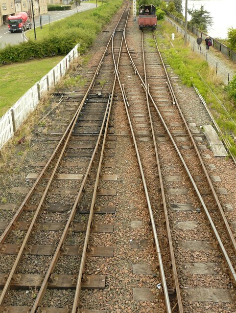
Museum of Scottish Railways
The Museum of Scottish Railways is a railway museum operated by the Scottish Railway Preservation Society. It is based on the Society's large collection...

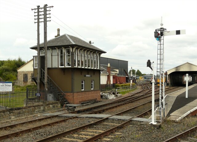
Bo'ness railway station
Bo'ness railway station is a heritage railway station in Bo'ness, Falkirk, Scotland. It is not the original Bo'ness railway station, which was located...

Bo'ness Academy
Bo'ness Academy (BA) is a secondary school in Bo'ness, Falkirk, Scotland. The headteacher Ms Reid has been headteacher of Bo'ness Academy since 2019. The...
Nearby Amenities
Located within 500m of 56.015131,-3.590122Have you been to Grangepans?
Leave your review of Grangepans below (or comments, questions and feedback).