Bo'ness
Settlement in West Lothian
Scotland
Bo'ness
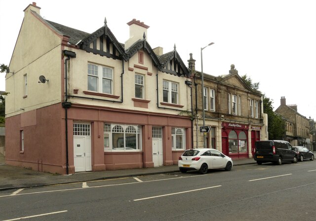
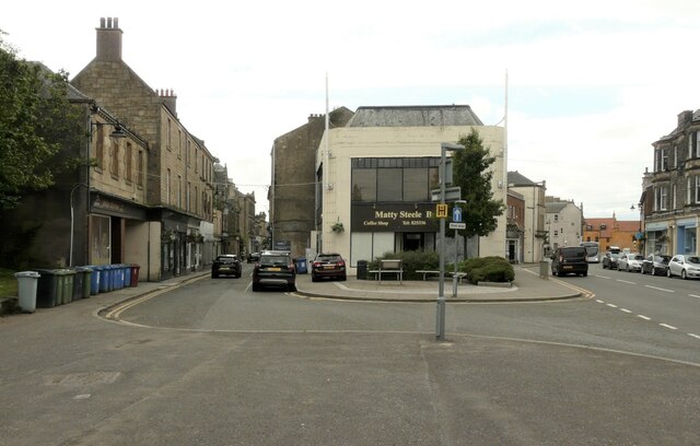
Bo'ness is a small town situated on the southern banks of the Firth of Forth in West Lothian, Scotland. With a population of around 14,000 people, the town is known for its rich history, charming architecture, and stunning natural surroundings.
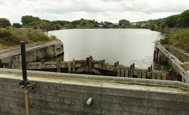
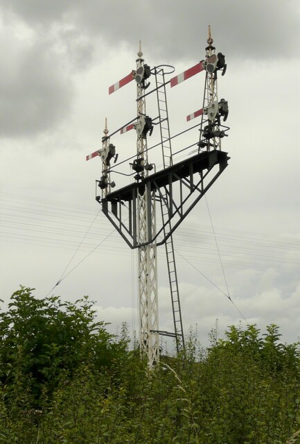
The town's history dates back to Roman times, and it has witnessed significant developments throughout the ages. Bo'ness played a vital role in the industrial revolution, particularly in the coal mining and shipbuilding industries. Today, remnants of its industrial past can be seen in the town's architecture and the Bo'ness and Kinneil Railway, a preserved steam railway that is a popular tourist attraction.
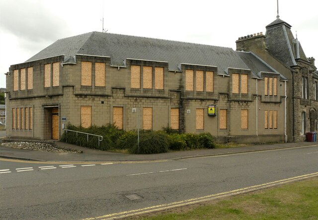
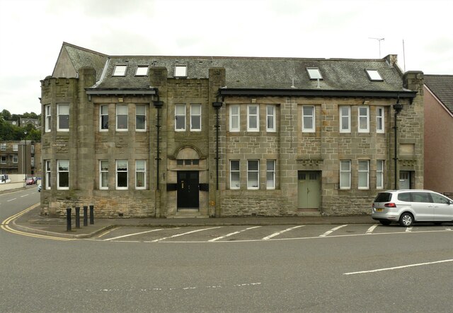
Bo'ness boasts several notable landmarks, including the impressive Bo'ness Town Hall, a striking building that serves as a cultural hub for the community. The town is also home to the Kinneil House, a 15th-century mansion that once belonged to the Dukes of Hamilton and is now a museum showcasing its rich history.
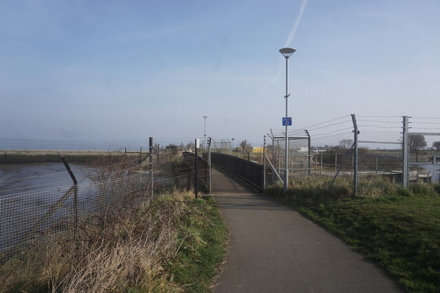
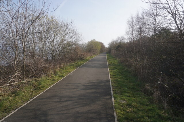
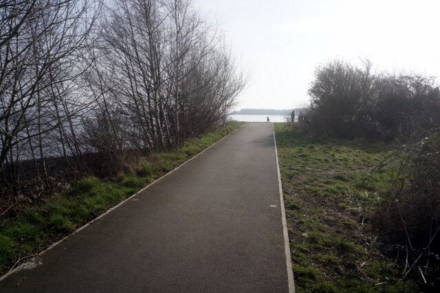
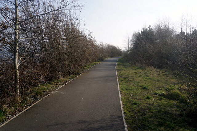
Nature enthusiasts will find plenty to explore in Bo'ness. The town offers picturesque coastal walks along the Firth of Forth, where visitors can enjoy stunning views across the water towards the iconic Forth Bridges. The nearby Kinneil Estate and Park provide a tranquil retreat, featuring beautiful gardens, woodlands, and the ruins of Kinneil House.
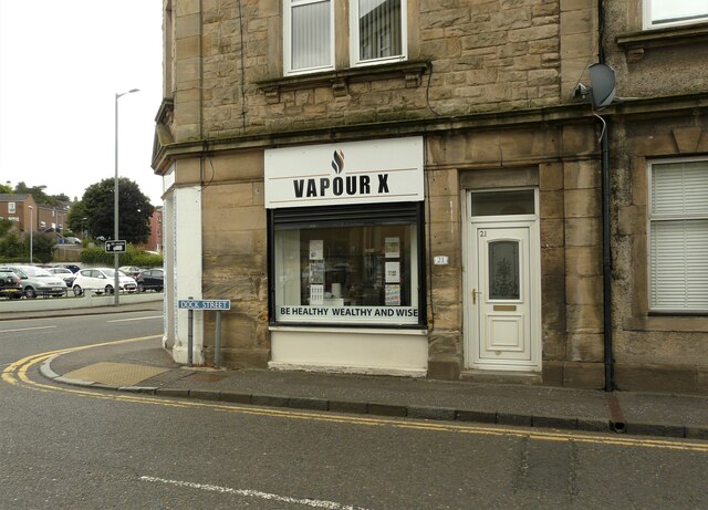
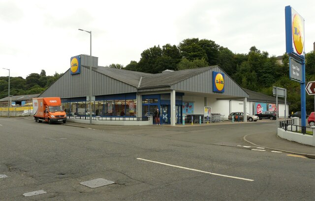
In terms of amenities, Bo'ness offers a range of shops, restaurants, and cafes catering to both residents and visitors. The town also hosts various events throughout the year, including the annual Bo'ness Fair, a week-long celebration that includes a parade and crowning of the Fair Queen.
Overall, Bo'ness is a charming town that seamlessly blends its historical past with modern amenities, making it an attractive destination for both tourists and residents alike.
If you have any feedback on the listing, please let us know in the comments section below.
Bo'ness Images
Images are sourced within 2km of 56.017554/-3.6054564 or Grid Reference NT0081. Thanks to Geograph Open Source API. All images are credited.
Bo'ness is located at Grid Ref: NT0081 (Lat: 56.017554, Lng: -3.6054564)
Unitary Authority: Falkirk
Police Authority: Forth Valley
What 3 Words
///zapped.northward.another. Near Bo’ness, Falkirk
Nearby Locations
Related Wikis

Hippodrome Cinema, Bo'ness
The Hippodrome Cinema in Bo'ness near Falkirk is an early example of a purpose-built cinema and thought to be the oldest such building surviving in Scotland...

Bo'ness
Borrowstounness (commonly known as Bo'ness ( boh-NESS)) is a town and former burgh and seaport on the south bank of the Firth of Forth in the Central Lowlands...
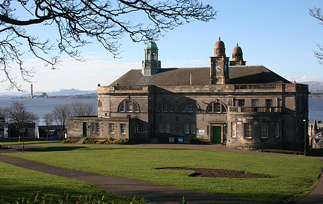
Bo'ness Town Hall
Bo'ness Town Hall is a municipal building in Stewart Avenue, Bo'ness, Scotland. The structure, which was the meeting place of Bo'ness Burgh Council, is...

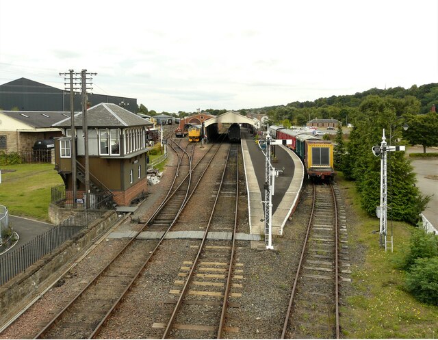
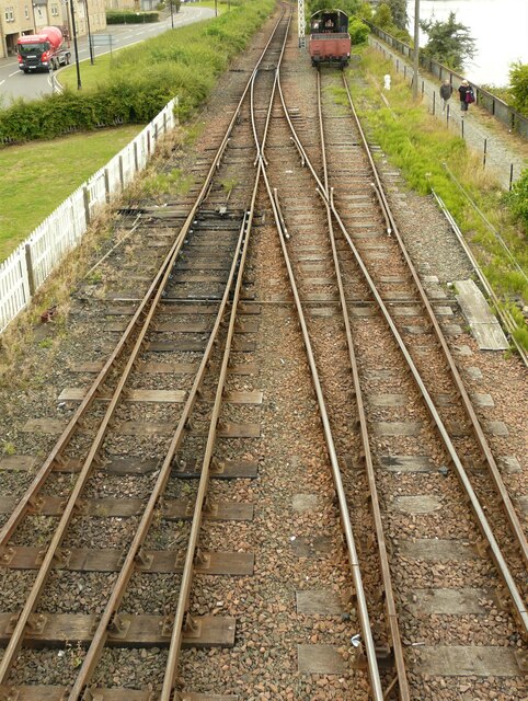
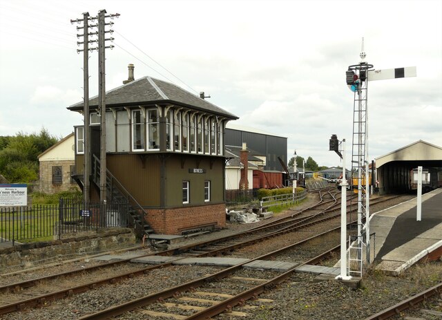
Bo'ness railway station
Bo'ness railway station is a heritage railway station in Bo'ness, Falkirk, Scotland. It is not the original Bo'ness railway station, which was located...

Museum of Scottish Railways
The Museum of Scottish Railways is a railway museum operated by the Scottish Railway Preservation Society. It is based on the Society's large collection...

Bo'ness Hospital
Bo'ness Hospital is a community hospital in Dean Road, Bo'ness, Scotland. It is managed by NHS Forth Valley. == History == The facility was established...

Grange House
Grange House (also known as Grangepans, Grange, Old Grange, and Grange Hamilton) was an estate house near Bo'ness, West Lothian (now Falkirk council area...

Bo'ness Academy
Bo'ness Academy (BA) is a secondary school in Bo'ness, Falkirk, Scotland. The headteacher Ms Reid has been headteacher of Bo'ness Academy since 2019. The...
Related Videos

Exploring The Historic KINNEIL HOUSE In BO'NESS - Scotland Walking Tour
The place-name Kinneil means “head (or end) of the wall”. The line of the Antonine Wall, the northern frontier of the Roman ...

Merrell - 'Intercept' Walking Shoes (A year in the life)
Update on the Merrell 'Intercept' Walking Shoe. Review: https://youtu.be/yoxKbuhHtL8.


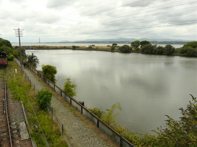
Bo'ness Foreshore and Bridgeness Harbour, | views across Firth of Forth Scotland 3rd Jan 2023
Bo'ness Foreshore is a beautiful area located on the south shore of the Firth of Forth in Scotland. It is a popular destination for ...
Nearby Amenities
Located within 500m of 56.017554,-3.6054564Have you been to Bo'ness?
Leave your review of Bo'ness below (or comments, questions and feedback).