Links Braes
Wood, Forest in West Lothian
Scotland
Links Braes
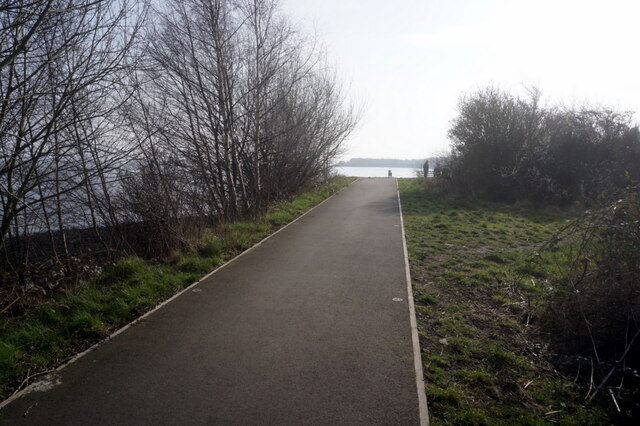
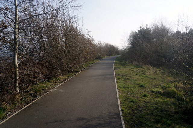
Links Braes is a picturesque area located in West Lothian, Scotland. Situated amidst rolling hills and lush greenery, it is renowned for its beautiful woodlands and forests. The area is a haven for nature lovers and outdoor enthusiasts, offering a tranquil and serene environment.
The woodlands of Links Braes are diverse and abundant, featuring a variety of tree species including oak, birch, and pine. These trees provide a natural habitat for a wide range of wildlife, making it a perfect spot for birdwatching and wildlife spotting. Visitors can expect to see species such as red squirrels, deer, and various bird species.
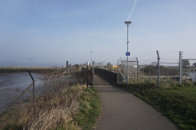
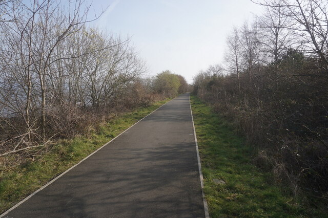
The forested area of Links Braes offers ample opportunities for recreational activities. There are several well-maintained walking trails that wind through the woodlands, allowing visitors to explore the area at their own pace. These trails offer breathtaking views of the surrounding countryside and provide a peaceful escape from the hustle and bustle of city life.
In addition to its natural beauty, Links Braes is also steeped in history. The area is known for its ancient archaeological sites, including burial mounds and standing stones, which provide insights into the region's rich past.
Overall, Links Braes in West Lothian offers a perfect blend of natural beauty and historical significance. Whether it's a leisurely stroll through the woodlands, a birdwatching adventure, or an exploration of ancient ruins, this area has something to offer for everyone seeking a connection with nature and a glimpse into Scotland's past.
If you have any feedback on the listing, please let us know in the comments section below.
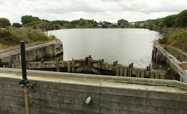
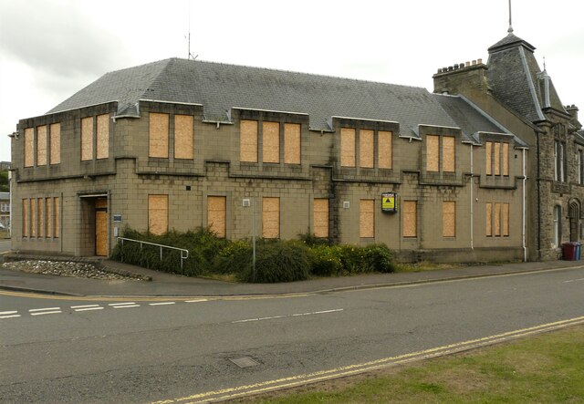
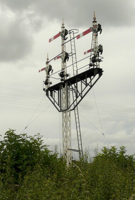
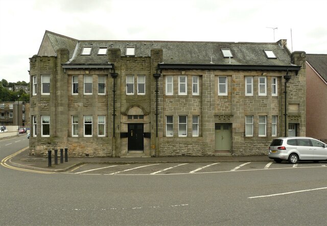
Links Braes Images
Images are sourced within 2km of 56.016006/-3.6008201 or Grid Reference NT0081. Thanks to Geograph Open Source API. All images are credited.
Links Braes is located at Grid Ref: NT0081 (Lat: 56.016006, Lng: -3.6008201)
Unitary Authority: Falkirk
Police Authority: Forth Valley
What 3 Words
///deflation.empty.easily. Near Bo’ness, Falkirk
Nearby Locations
Related Wikis

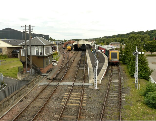
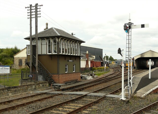
Bo'ness railway station
Bo'ness railway station is a heritage railway station in Bo'ness, Falkirk, Scotland. It is not the original Bo'ness railway station, which was located...

Museum of Scottish Railways
The Museum of Scottish Railways is a railway museum operated by the Scottish Railway Preservation Society. It is based on the Society's large collection...

Hippodrome Cinema, Bo'ness
The Hippodrome Cinema in Bo'ness near Falkirk is an early example of a purpose-built cinema and thought to be the oldest such building surviving in Scotland...
Bo'ness Town Hall
Bo'ness Town Hall is a municipal building in Stewart Avenue, Bo'ness, Scotland. The structure, which was the meeting place of Bo'ness Burgh Council, is...
Nearby Amenities
Located within 500m of 56.016006,-3.6008201Have you been to Links Braes?
Leave your review of Links Braes below (or comments, questions and feedback).