Grahamsdyke
Settlement in West Lothian
Scotland
Grahamsdyke
Grahamsdyke is a small village located in West Lothian, Scotland. It is situated approximately 2 miles southeast of the town of Linlithgow and about 17 miles west of Edinburgh. The village is nestled amidst the picturesque countryside, offering residents and visitors a tranquil and scenic environment.
Grahamsdyke is known for its rich historical heritage. The village takes its name from the ancient fortification, Grahamsdyke Castle, which was built in the 12th century by the Graham family. Though the castle is now in ruins, its remnants still attract history enthusiasts who appreciate its architectural significance.
The village itself is predominantly residential, with a small population of close-knit community members. The houses in Grahamsdyke are primarily traditional stone-built cottages, giving the area a charming and quaint atmosphere.
Despite its small size, Grahamsdyke offers a few local amenities for its residents. These include a village hall that serves as a community center for various events and gatherings. Additionally, the village benefits from its close proximity to Linlithgow, which provides access to a wider range of services, such as schools, shops, and healthcare facilities.
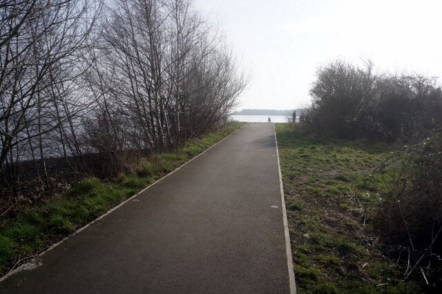
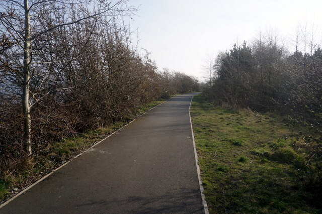
Nature lovers can take advantage of the stunning surrounding landscape, which offers opportunities for outdoor activities like walking, cycling, and exploring the nearby Linlithgow Loch. The loch is a popular spot for birdwatching and is home to a variety of bird species.
In summary, Grahamsdyke is a charming and historically significant village in West Lothian. With its picturesque setting and close-knit community, it provides residents and visitors with a peaceful and idyllic Scottish countryside experience.
If you have any feedback on the listing, please let us know in the comments section below.
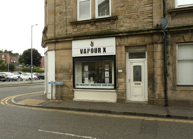
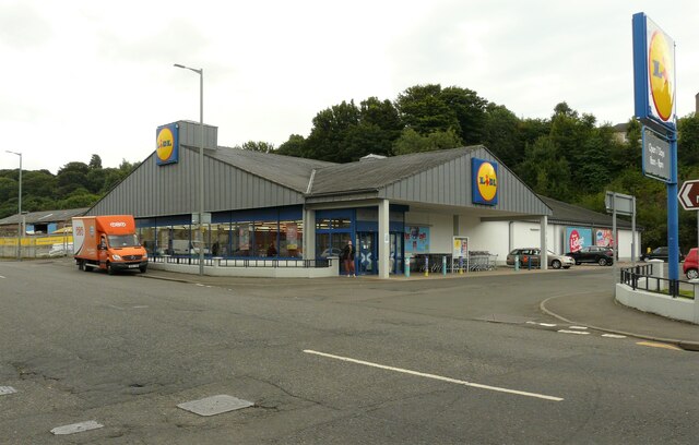
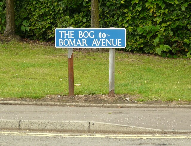
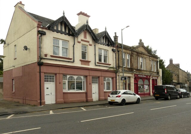
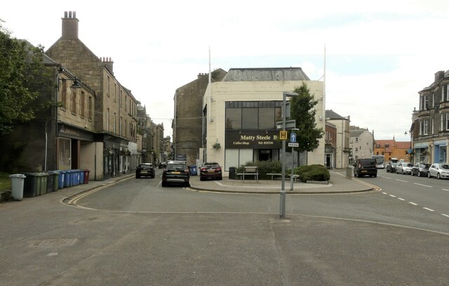
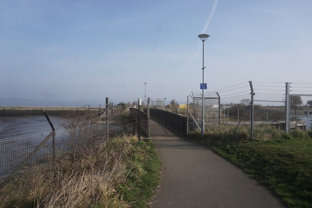
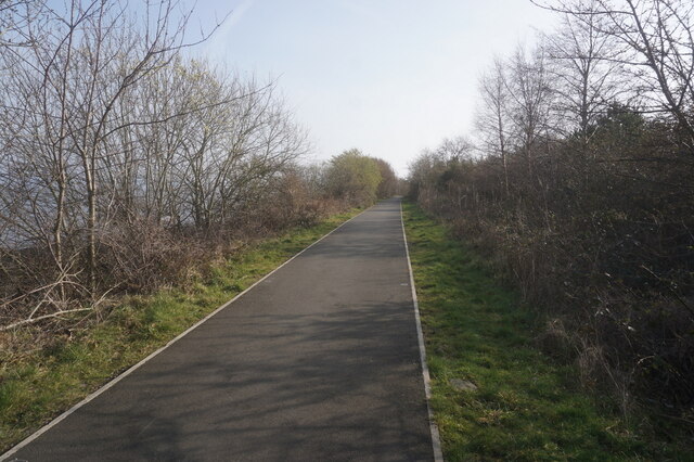
Grahamsdyke Images
Images are sourced within 2km of 56.012283/-3.5996074 or Grid Reference NT0081. Thanks to Geograph Open Source API. All images are credited.
Grahamsdyke is located at Grid Ref: NT0081 (Lat: 56.012283, Lng: -3.5996074)
Unitary Authority: Falkirk
Police Authority: Forth Valley
What 3 Words
///rapport.result.duet. Near Bo’ness, Falkirk
Nearby Locations
Related Wikis

Bo'ness Academy
Bo'ness Academy (BA) is a secondary school in Bo'ness, Falkirk, Scotland. The headteacher Ms Reid has been headteacher of Bo'ness Academy since 2019. The...

Grange House
Grange House (also known as Grangepans, Grange, Old Grange, and Grange Hamilton) was an estate house near Bo'ness, West Lothian (now Falkirk council area...

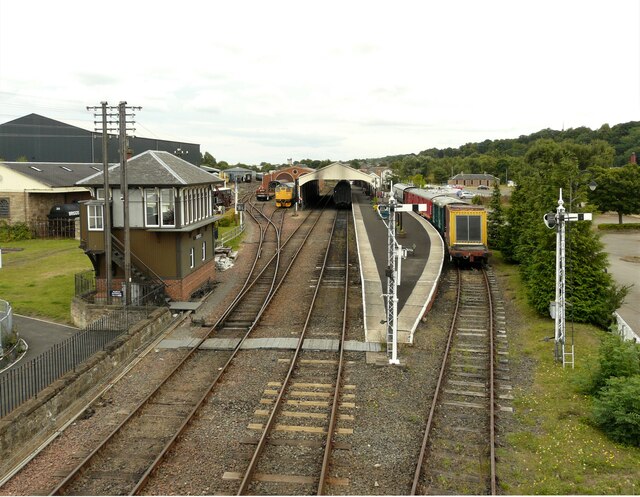
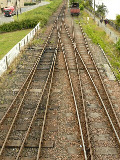
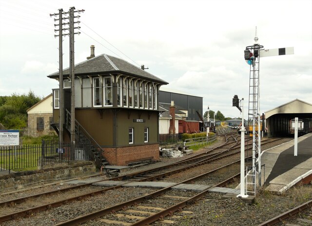
Bo'ness railway station
Bo'ness railway station is a heritage railway station in Bo'ness, Falkirk, Scotland. It is not the original Bo'ness railway station, which was located...
Bo'ness Town Hall
Bo'ness Town Hall is a municipal building in Stewart Avenue, Bo'ness, Scotland. The structure, which was the meeting place of Bo'ness Burgh Council, is...

Museum of Scottish Railways
The Museum of Scottish Railways is a railway museum operated by the Scottish Railway Preservation Society. It is based on the Society's large collection...

Hippodrome Cinema, Bo'ness
The Hippodrome Cinema in Bo'ness near Falkirk is an early example of a purpose-built cinema and thought to be the oldest such building surviving in Scotland...

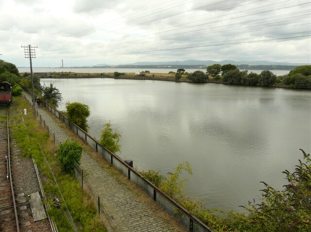
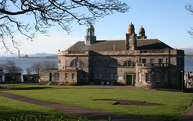
Bo'ness
Borrowstounness (commonly known as Bo'ness ( boh-NESS)) is a town and former burgh and seaport on the south bank of the Firth of Forth in the Central Lowlands...

Newtown Park, Bo'ness
Newtown Park is a football ground in Bo'ness, Scotland. It is the home ground of Lowland League side Bo'ness United, and was previously the home ground...
Nearby Amenities
Located within 500m of 56.012283,-3.5996074Have you been to Grahamsdyke?
Leave your review of Grahamsdyke below (or comments, questions and feedback).