Ayre's Quay
Settlement in Durham
England
Ayre's Quay
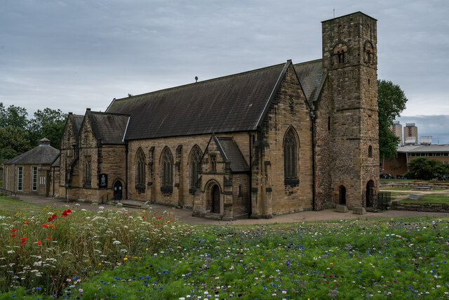
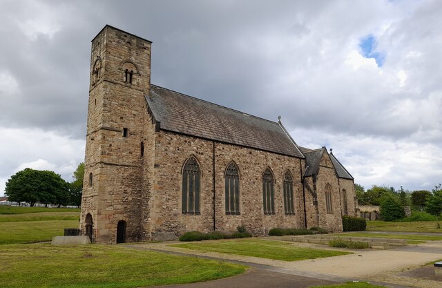
Ayre's Quay is a historical quay located in Durham, England. Situated on the southern bank of the River Wear, it has served as a significant transportation hub for centuries. The quay is named after the Ayre family, prominent merchants from the 17th century who owned land in the area.
Originally, Ayre's Quay was primarily used for the loading and unloading of goods onto boats for transportation along the river. It played a crucial role in the development of Durham as a trading center during the Industrial Revolution. The quay's strategic location allowed easy access to coal mines in the surrounding areas, enabling the efficient transportation of this valuable resource.
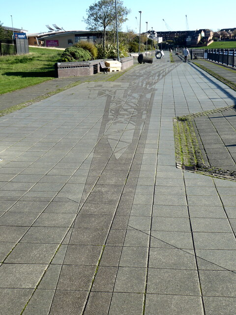
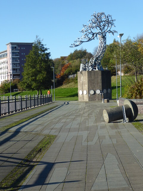
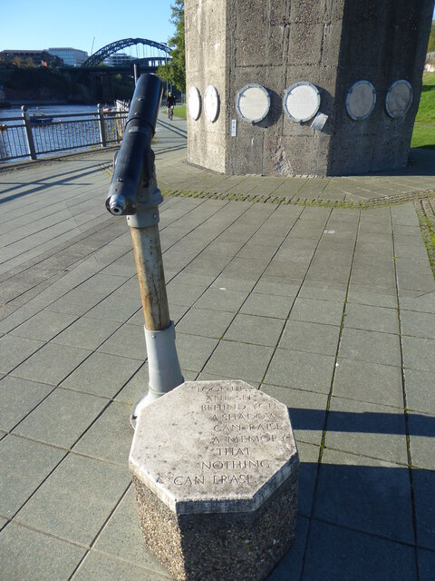
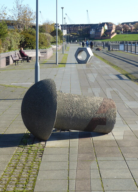
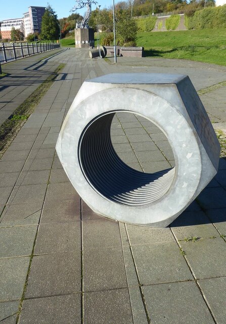
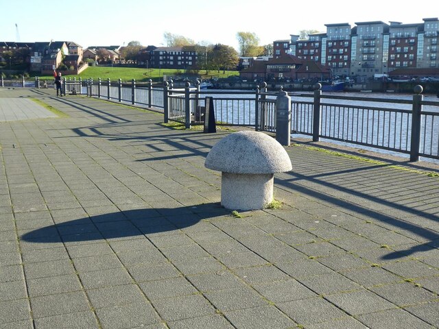
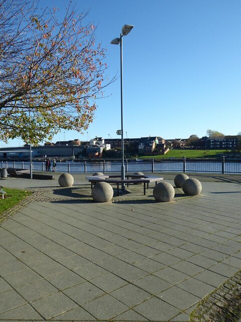
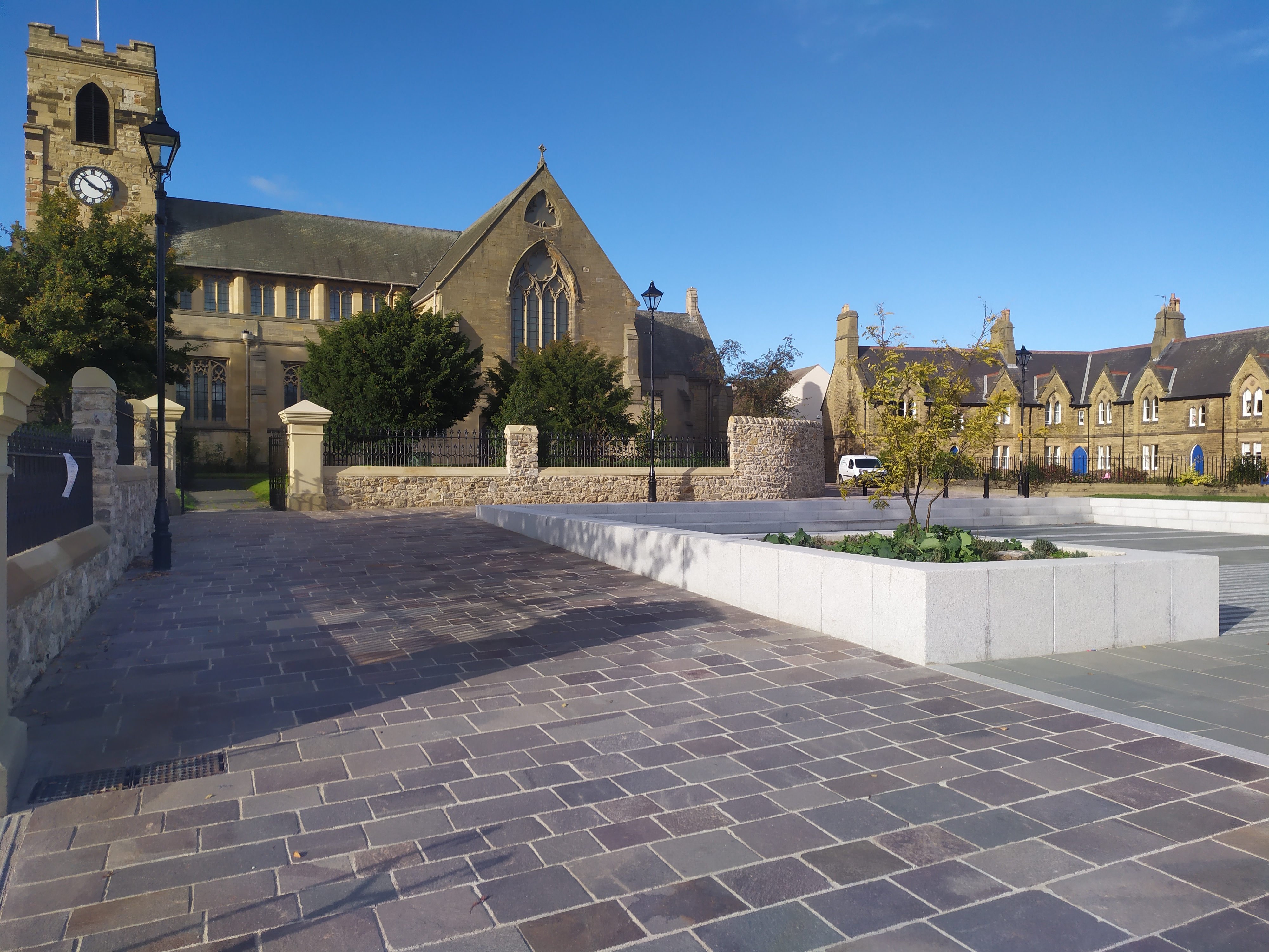
Over time, the importance of Ayre's Quay for commercial purposes diminished, and it gradually transformed into a recreational area. Today, the quay features a picturesque riverside walkway that offers stunning views of the river and the historic cityscape. The area has been carefully preserved, with some of the original stone walls and structures still intact.
Ayre's Quay is also known for its proximity to other notable landmarks, such as Durham Cathedral and Durham Castle. Visitors can easily explore these iconic sites and then enjoy a leisurely stroll along the quay, taking in the peaceful atmosphere and enjoying the scenic beauty of the river.
Overall, Ayre's Quay is a historically significant location in Durham, showcasing the city's industrial past while providing a tranquil escape for both locals and tourists.
If you have any feedback on the listing, please let us know in the comments section below.
Ayre's Quay Images
Images are sourced within 2km of 54.910558/-1.397884 or Grid Reference NZ3857. Thanks to Geograph Open Source API. All images are credited.

Ayre's Quay is located at Grid Ref: NZ3857 (Lat: 54.910558, Lng: -1.397884)
Unitary Authority: Sunderland
Police Authority: Northumbria
What 3 Words
///feared.wanted.thinks. Near Sunderland, Tyne & Wear
Nearby Locations
Related Wikis

Sunderland Power Station
Sunderland Power Station was a coal-fired power station situated on the bank of the River Wear, in the city centre of Sunderland, in Tyne and Wear, North...

Millfield Metro station
Millfield is a Tyne and Wear Metro station, serving Sunderland Royal Hospital and the suburb of Millfield, City of Sunderland in Tyne and Wear, England...

Queen Alexandra Bridge
The Queen Alexandra Bridge is a road traffic, pedestrian and former railway bridge spanning the River Wear in North East England, linking the Deptford...

Sunderland Aquatic Centre
Sunderland Aquatic Centre is an indoor sports complex next to the Stadium of Light in the city of Sunderland, England. It contains an Olympic-size swimming...
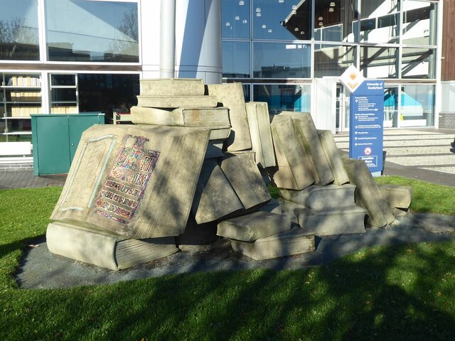
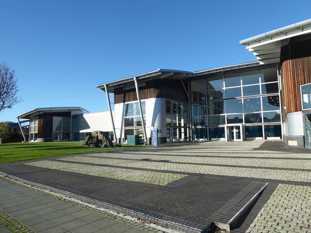
University of Sunderland
The University of Sunderland is a public research university located in Sunderland in the North East of England. Its predecessor, Sunderland Technical...

Stadium of Light
The Stadium of Light is an all-seater football stadium in Sunderland, England, and the eighth and current home to Sunderland A.F.C. With space for 48,339...

Monkwearmouth Colliery
Monkwearmouth Colliery (or Wearmouth Colliery) was a major North Sea coal mine located on the north bank of the River Wear, located in Sunderland. It was...
Bishopwearmouth
Bishopwearmouth is a former village and parish which now constitutes the west side of Sunderland City Centre, merging with the settlement as it expanded...
Related Videos

Top 10 Places to Visit in Sunderland, Tyne and Wear | England - English
SunderlandPlaces #PlacesInSunderland #SunderlandVisitPlaces #Sunderland Sunderland is a port city and the administrative ...

Walking city centre of Sunderland with Wearmouth Bridge - #wearmouth Bridge #sunderland #uk
Walking around the city centre of Sunderland, north east England. Donate for a cup of coffee at the link below ...

LIVING IN UK #5 |MINI VACATION| 2 cities in 1 week| Road trips+ Meeting family members | MonnyLagos
Hiii beautiful people☺️ Happy Sunday I took some time out to rest and visit some family members and tried to do a little bit of a ...
Nearby Amenities
Located within 500m of 54.910558,-1.397884Have you been to Ayre's Quay?
Leave your review of Ayre's Quay below (or comments, questions and feedback).