Ayres Quay
Settlement in Durham
England
Ayres Quay

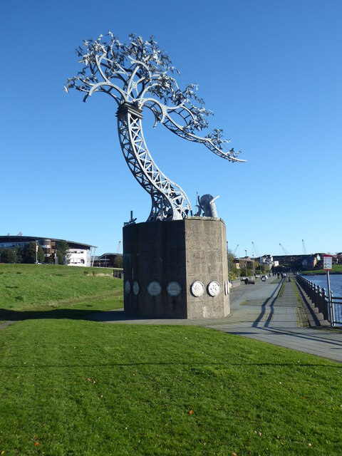
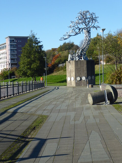
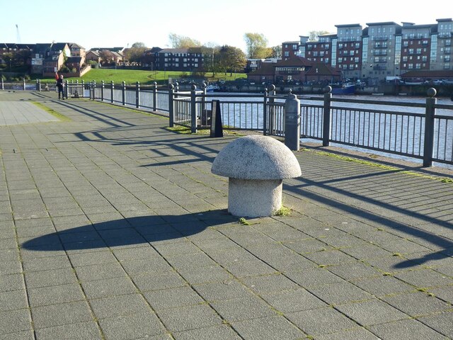
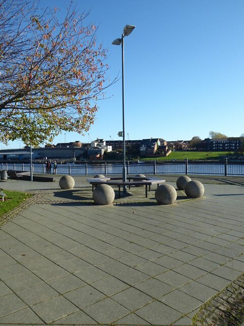
Ayres Quay is a historic location situated in Durham, England. Nestled on the banks of the River Wear, it is a charming area that offers visitors a glimpse into the city's past. The quay has a rich history dating back several centuries and is renowned for its picturesque beauty.
One of the notable features of Ayres Quay is its well-preserved Georgian architecture. The area is lined with elegant buildings, many of which were once warehouses and homes for the city's prosperous merchants. These structures boast characteristic features such as sash windows, decorative doorways, and intricate brickwork, giving Ayres Quay a distinctive charm.
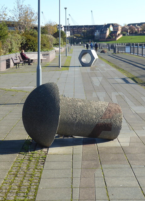
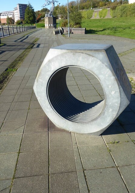
The quay itself played a significant role in Durham's industrial history. In the 18th and 19th centuries, it served as a bustling trading hub where goods were transported along the river. Today, remnants of this past can still be seen, such as the old loading bays and the remnants of a crane that once facilitated the loading and unloading of cargo.
Ayres Quay is also home to the award-winning Durham World Heritage Site Visitor Centre. This center provides visitors with a wealth of information about the city's history, including its industrial heritage and the important role Ayres Quay played in its development.
With its scenic riverside location, well-preserved architecture, and historical significance, Ayres Quay is a must-visit destination for history enthusiasts and those seeking a glimpse into Durham's past.
If you have any feedback on the listing, please let us know in the comments section below.
Ayres Quay Images
Images are sourced within 2km of 54.906202/-1.3932864 or Grid Reference NZ3957. Thanks to Geograph Open Source API. All images are credited.


Ayres Quay is located at Grid Ref: NZ3957 (Lat: 54.906202, Lng: -1.3932864)
Unitary Authority: Sunderland
Police Authority: Northumbria
What 3 Words
///level.final.hood. Near Sunderland, Tyne & Wear
Nearby Locations
Related Wikis

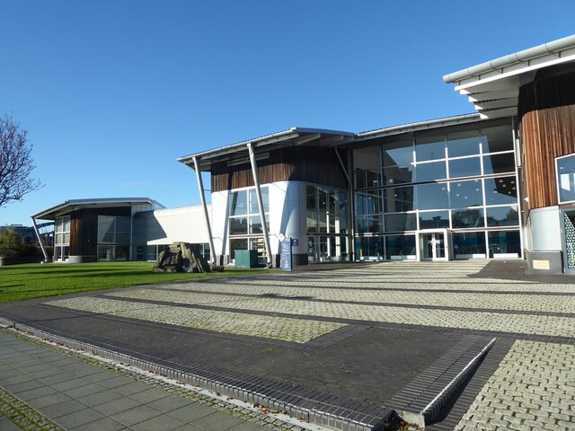
University of Sunderland
The University of Sunderland is a public research university located in Sunderland in the North East of England. Its predecessor, Sunderland Technical...
Bishopwearmouth
Bishopwearmouth is a former village and parish which now constitutes the west side of Sunderland City Centre, merging with the settlement as it expanded...

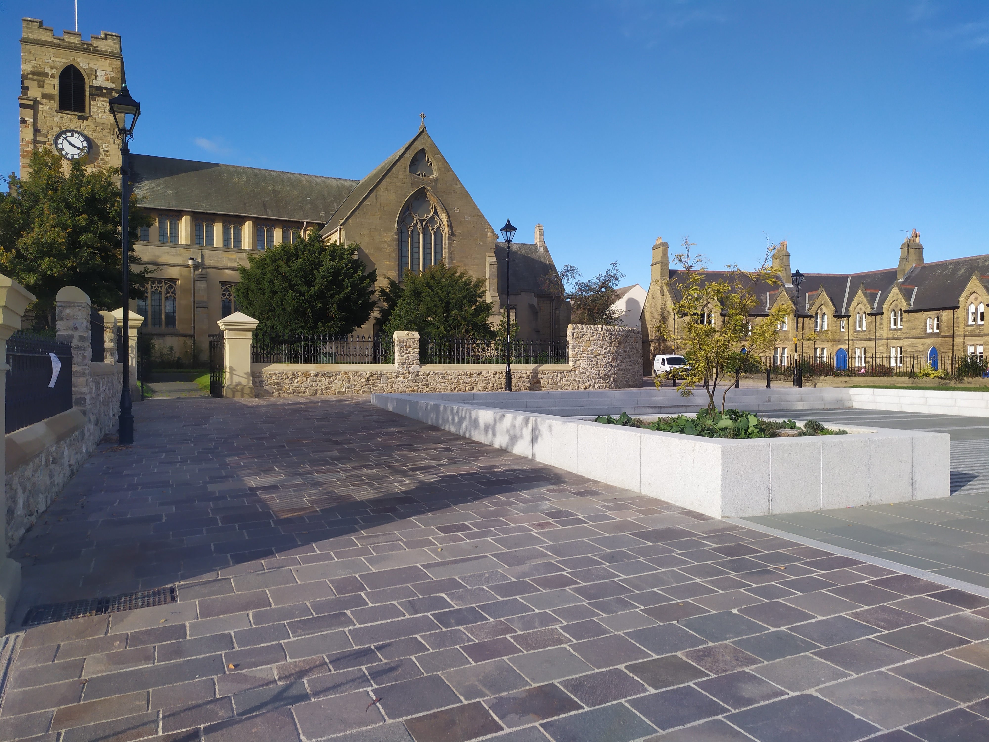
Sunderland Minster
The Minster Church of St Michael and All Angels and St Benedict Biscop (commonly known as Sunderland Minster) is the minster church of Sunderland, Tyne...
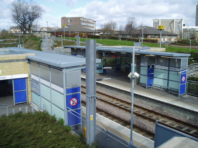
University Metro station
University is a Tyne and Wear Metro station, serving the University of Sunderland and suburb of Ashbrooke, City of Sunderland in Tyne and Wear. It joined...
Nearby Amenities
Located within 500m of 54.906202,-1.3932864Have you been to Ayres Quay?
Leave your review of Ayres Quay below (or comments, questions and feedback).