Ayres of Selivoe
Settlement in Shetland
Scotland
Ayres of Selivoe

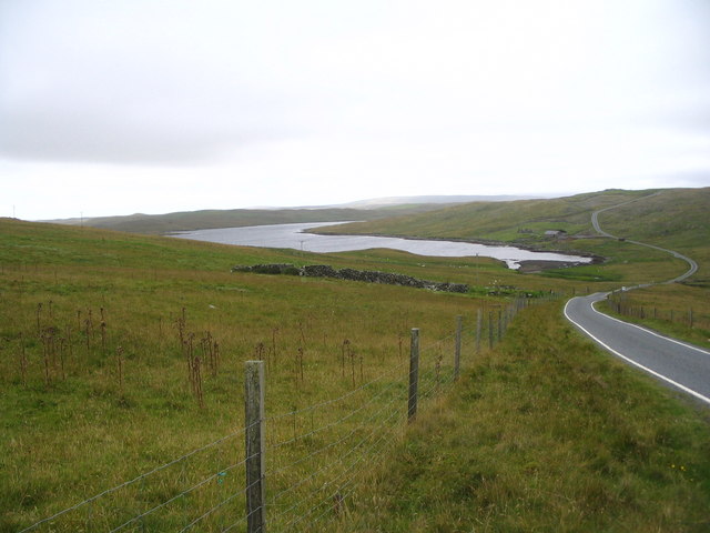
Ayres of Selivoe is a small coastal settlement located in the Shetland Islands, an archipelago in Scotland, United Kingdom. Situated on the southeastern coast of the mainland, Ayres of Selivoe is a picturesque village known for its stunning natural beauty and tranquil atmosphere.
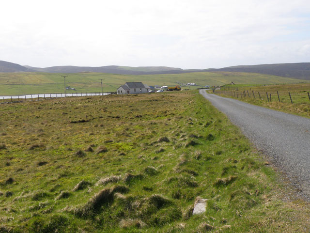
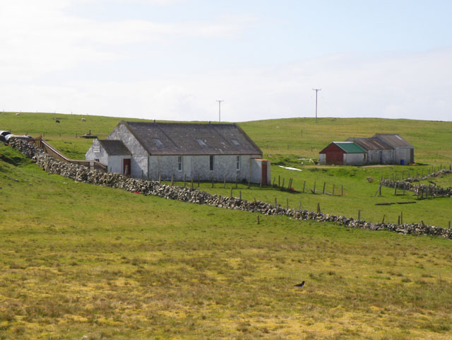
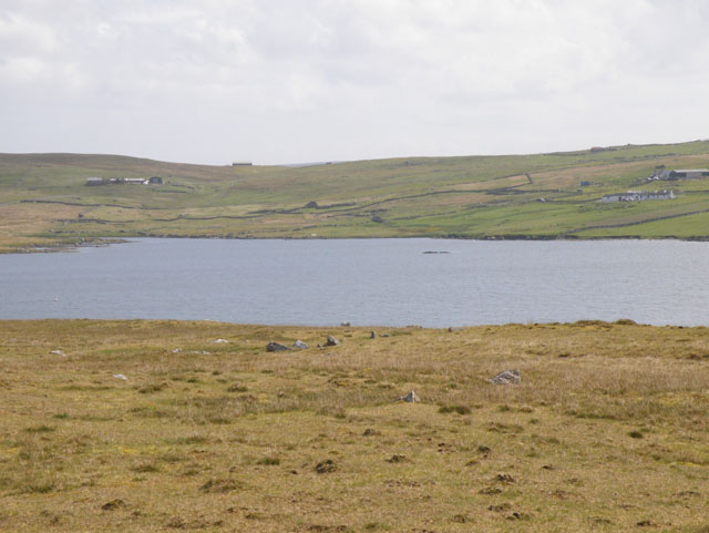
The village is surrounded by rugged cliffs, pristine beaches, and the sparkling waters of the North Sea. Its remote location offers visitors a sense of seclusion and a chance to escape the hustle and bustle of modern life. The landscape is characterized by rolling hills, heather-covered moorlands, and scattered crofts, which provide a glimpse into traditional Shetland life.
Ayres of Selivoe has a rich history, with evidence of human habitation dating back thousands of years. The area is home to several archaeological sites, including Iron Age brochs and Neolithic settlements. These historical remnants offer a fascinating insight into the village's past and attract history enthusiasts from far and wide.
The village is also renowned for its diverse wildlife. Birdwatchers flock to Ayres of Selivoe to catch a glimpse of rare seabirds, including puffins, guillemots, and fulmars. The surrounding waters are teeming with marine life, making it a popular spot for fishing and boat trips.
Despite its small size, Ayres of Selivoe offers visitors a range of amenities, including cozy guesthouses, a local pub, and a handful of shops. The village is also a starting point for exploring the wider Shetland Islands, with regular ferry services connecting it to other settlements.
In summary, Ayres of Selivoe is a charming coastal village in the Shetland Islands, offering visitors a tranquil retreat, rich history, breathtaking scenery, and abundant wildlife.
If you have any feedback on the listing, please let us know in the comments section below.
Ayres of Selivoe Images
Images are sourced within 2km of 60.221011/-1.485263 or Grid Reference HU2848. Thanks to Geograph Open Source API. All images are credited.


Ayres of Selivoe is located at Grid Ref: HU2848 (Lat: 60.221011, Lng: -1.485263)
Unitary Authority: Shetland Islands
Police Authority: Highlands and Islands
What 3 Words
///detriment.respects.reeling. Near Walls, Shetland Islands
Nearby Locations
Related Wikis
Gruting
Gruting is a hamlet on the island of Mainland, Shetland in Scotland. It is about 1 kilometre (0.62 mi) southwest of the archaeological site of Stanydale...

Stanydale Temple
Stanydale Temple is a Neolithic site on Mainland, Shetland, Scotland. It is located in a field to the south of the modern village of Stanydale, roughly...

Stanydale
Stanydale is a hamlet on the island of Mainland, Shetland, Scotland. The archaeological site of Stanydale Temple is less than 0.5 miles (0.80 km) to...
Browland
Browland is a village on Mainland in Shetland, Scotland situated about 1.9 miles (3 km) east north east of Walls. Browland is within the parish of Sandsting...

West Mainland
The West Mainland of the Shetland Islands is the part of the Shetland Mainland lying west of Aith (1° 23′ W). == Geography == Points of interest include...

Scord of Brouster
The Scord of Brouster is one of the earliest Neolithic farm sites in Shetland, Scotland. It has been dated to 2220 BC with a time window of 80 years on...

Skeld
Skeld (Old Norse: Skjolðr, Shield or shelter) refers to two villages on the south side of the West Mainland of Shetland, Scotland. The main village is...

Walls, Shetland
Walls, known locally as Waas (Old Norse: Vagar = "Sheltered Bays" (voes) - the Ordnance Survey added the "ll" as they thought it was a corruption of "walls...
Nearby Amenities
Located within 500m of 60.221011,-1.485263Have you been to Ayres of Selivoe?
Leave your review of Ayres of Selivoe below (or comments, questions and feedback).