Ayres End
Settlement in Hertfordshire St. Albans
England
Ayres End

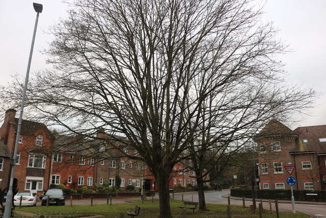
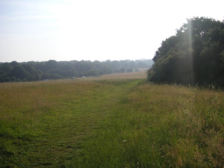
Ayres End is a small village located in the county of Hertfordshire, England. Situated approximately 3 miles east of the town of Hemel Hempstead, Ayres End is nestled in a rural setting surrounded by beautiful countryside and farmland.
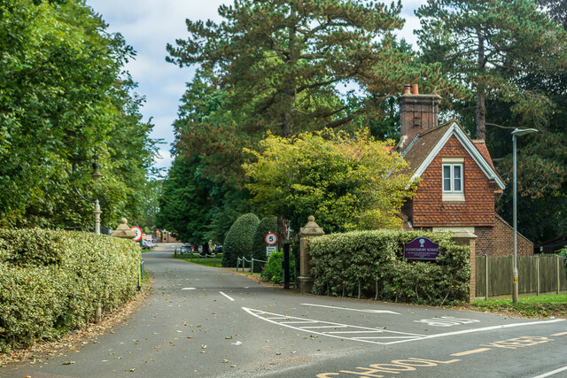
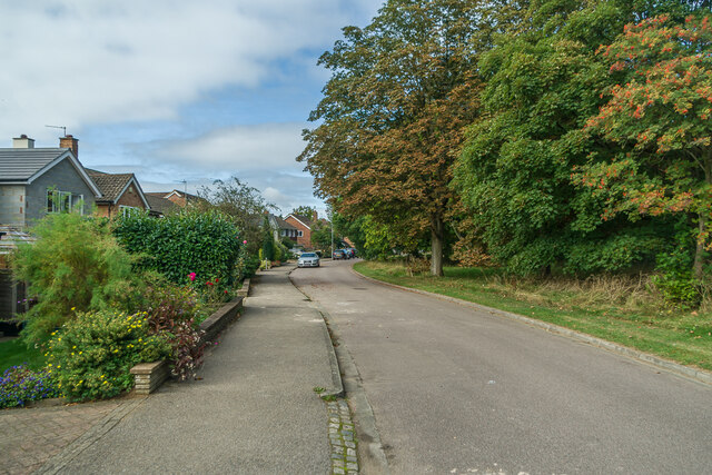
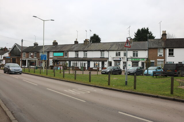
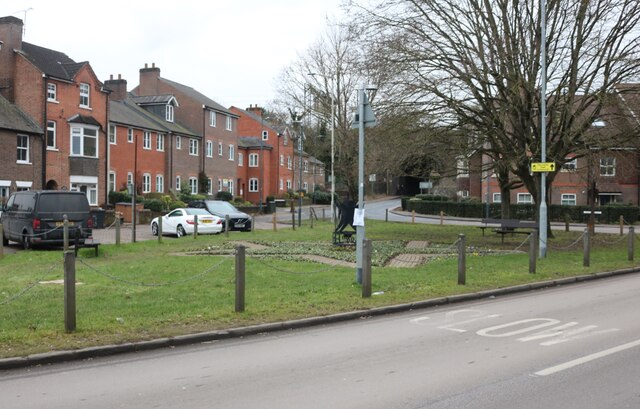
The village itself is characterized by its charming and picturesque atmosphere, with traditional cottages and houses lining the quiet streets. The community is small and tight-knit, fostering a strong sense of community spirit among its residents.
Despite its tranquil ambiance, Ayres End benefits from its convenient proximity to nearby amenities. The town of Hemel Hempstead offers a wide range of services, including shopping centers, supermarkets, restaurants, and leisure facilities. Additionally, the village is well-connected to major transportation routes, with the A41 and M1 motorway just a short drive away, providing easy access to London and other major cities.
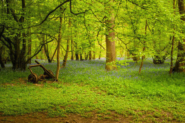
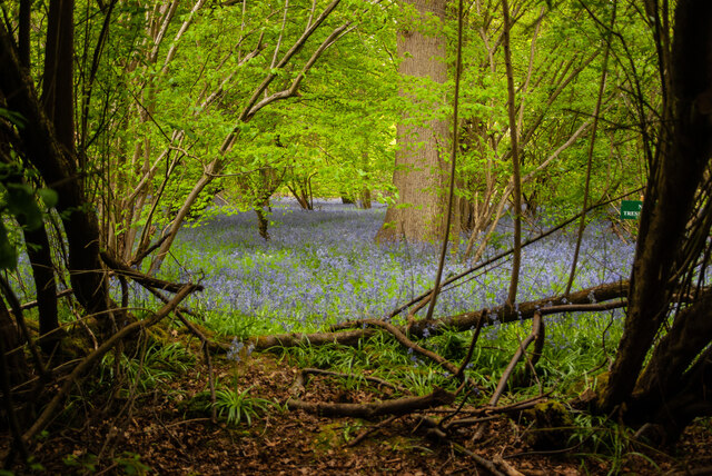
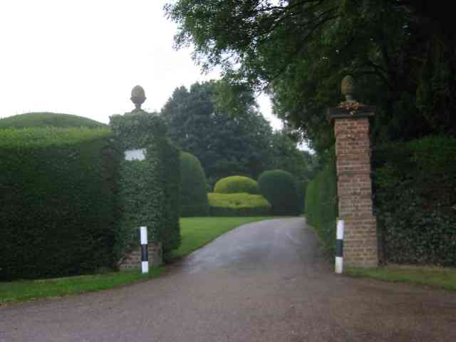
Nature enthusiasts will find plenty to explore in the surrounding area. Ayres End is located near the Chiltern Hills, an Area of Outstanding Natural Beauty, offering numerous opportunities for hiking, cycling, and enjoying the scenic landscapes. The nearby Ashridge Estate, managed by the National Trust, provides further outdoor recreational activities, including woodland walks and wildlife spotting.
In conclusion, Ayres End is a tranquil and idyllic village in Hertfordshire, offering a peaceful retreat from the hustle and bustle of city life while still providing convenient access to modern amenities and natural beauty.
If you have any feedback on the listing, please let us know in the comments section below.
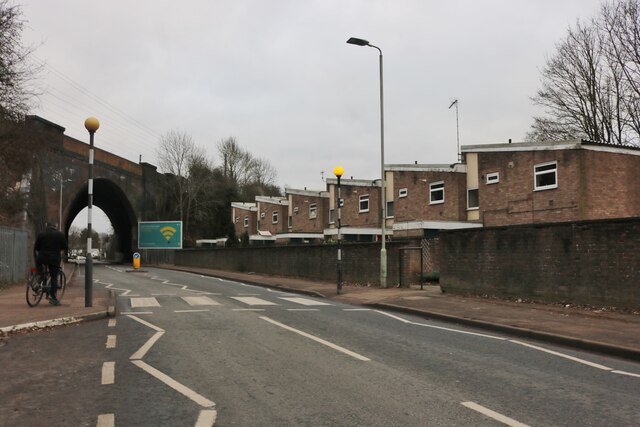
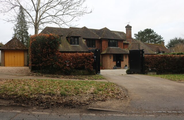
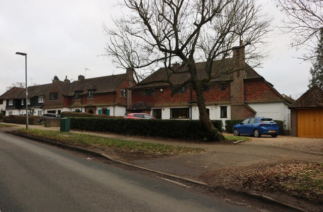
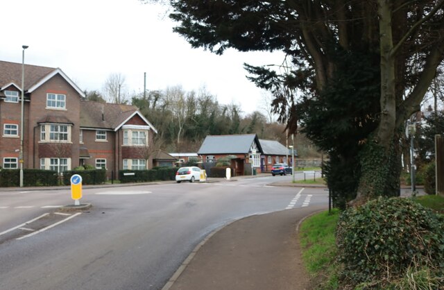
Ayres End Images
Images are sourced within 2km of 51.79709/-0.32468285 or Grid Reference TL1512. Thanks to Geograph Open Source API. All images are credited.

Ayres End is located at Grid Ref: TL1512 (Lat: 51.79709, Lng: -0.32468285)
Administrative County: Hertfordshire
District: St. Albans
Police Authority: Hertfordshire
What 3 Words
///combining.nails.logo. Near Wheathampstead, Hertfordshire
Nearby Locations
Related Wikis

Heartwood Forest
Heartwood Forest is a planned forest (woodland creation site) in Hertfordshire, England. The site covers 347 hectares (860 acres), the largest continuous...
Nomansland Common
Nomansland Common (sometimes simply called No Man's Land) is an area of common land in Hertfordshire, England to the south of Harpenden and the south-west...

St Albans City and District
St Albans (), commonly known as the City and District of St Albans, is a local government district with city status in Hertfordshire, England. Its council...

Aldwickbury School
Aldwickbury School is a 4–13 boys private preparatory school located on the outskirts of Harpenden, Hertfordshire in the United Kingdom. Aldwickbury School...

Harpenden Common Golf Club
Harpenden Common Golf Club is a private members' golf club in Harpenden, Hertfordshire. Although golf has been played on Harpenden Common since 1895, Harpenden...
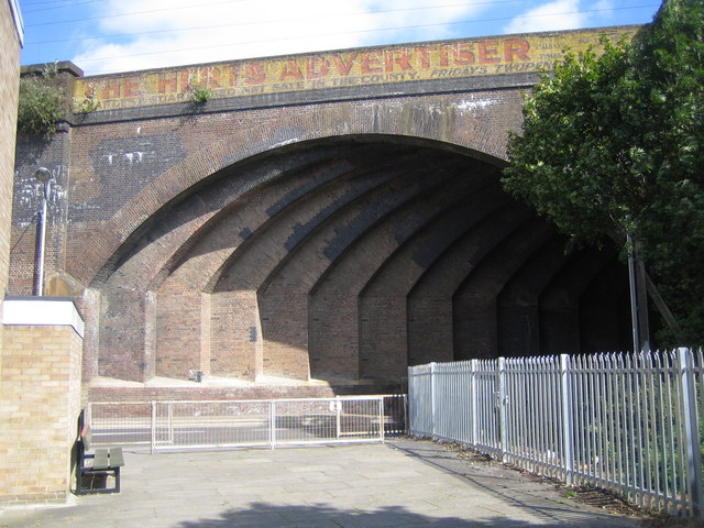
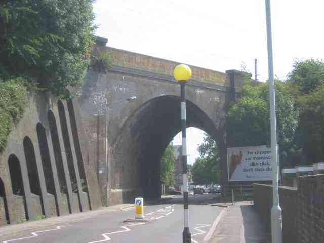
Southdown Road Skew Bridge
Southdown Road Skew Bridge is a ribbed skew arch railway bridge, which carries the Midland Main Line across Southdown Road in Harpenden, Hertfordshire...
Childwickbury Stud
Childwickbury Stud is a Thoroughbred horse breeding farm near St Albans, Hertfordshire, England. Originally built in 1888 by Sir John Blundell Maple as...
Sandridge Rovers F.C.
Sandridge Rovers Football Club is an English football club based in Sandridge, Hertfordshire. They currently compete in the Herts County League Premier...
Nearby Amenities
Located within 500m of 51.79709,-0.32468285Have you been to Ayres End?
Leave your review of Ayres End below (or comments, questions and feedback).