Clapper's Wood
Wood, Forest in Hertfordshire St. Albans
England
Clapper's Wood

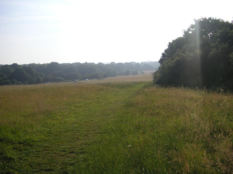
Clapper's Wood is a picturesque and serene woodland located in the county of Hertfordshire, England. Situated on the outskirts of the small village of Clapper's Green, this enchanting forest covers an area of approximately 100 acres and is a popular destination for nature enthusiasts and hikers alike.
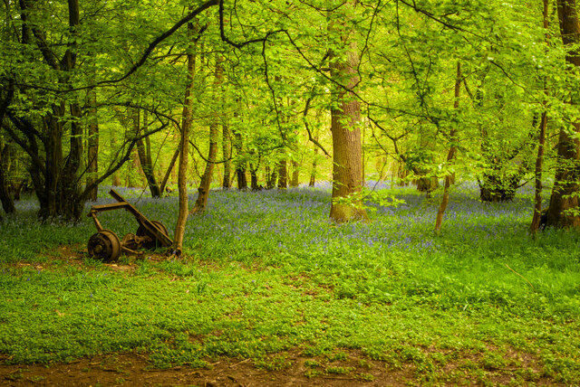
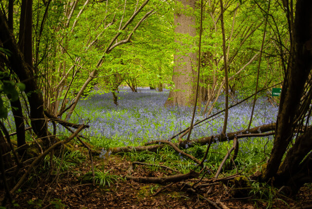
The wood is predominantly composed of broadleaf trees, including oak, beech, and ash, which create a dense canopy, providing shade and shelter for an array of wildlife. The forest floor is carpeted with a diverse range of flora, such as bluebells, wood anemones, and wild garlic, adding bursts of vibrant colors during the spring and summer months.
Tranquil pathways wind their way through the woodland, inviting visitors to explore the enchanting surroundings. These well-maintained trails offer stunning vistas of the surrounding countryside and provide ample opportunities for birdwatching and wildlife spotting. It is not uncommon to encounter deer, foxes, and a variety of bird species, including woodpeckers and owls, within the wood.
Clapper's Wood is managed and preserved by the local council and is accessible to the public free of charge. The site offers several picnic areas and benches for visitors to relax and immerse themselves in the natural beauty of the forest. Interpretive signs can be found throughout the wood, providing information about the local flora and fauna, as well as the history and significance of the woodland.
Overall, Clapper's Wood is a hidden gem in the heart of Hertfordshire, offering a tranquil escape from the hustle and bustle of everyday life, and providing a sanctuary for both nature enthusiasts and those seeking a peaceful retreat in the midst of nature.
If you have any feedback on the listing, please let us know in the comments section below.
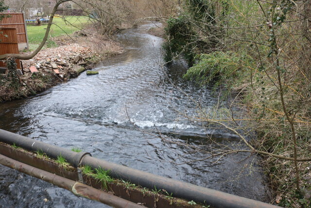
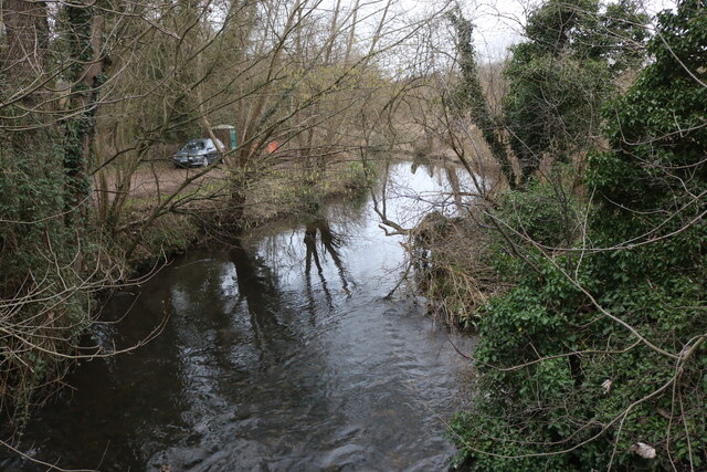
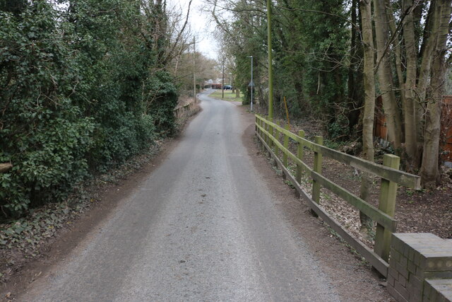
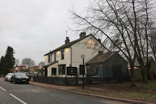
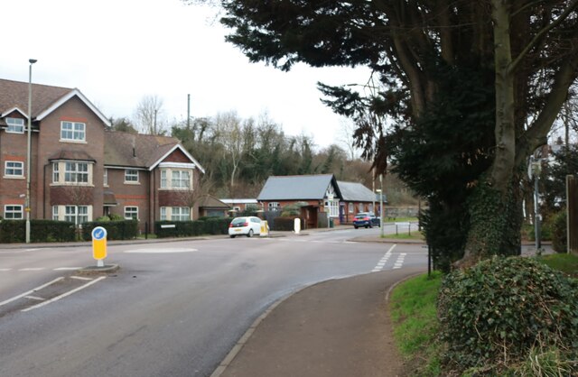
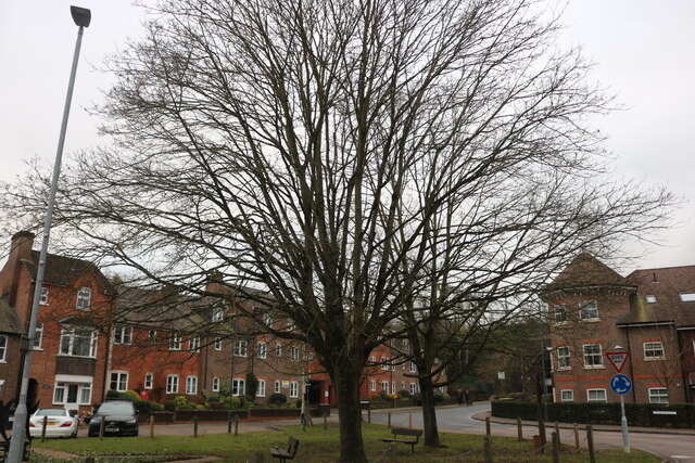
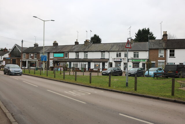
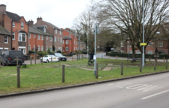
Clapper's Wood Images
Images are sourced within 2km of 51.800502/-0.32561511 or Grid Reference TL1512. Thanks to Geograph Open Source API. All images are credited.

Clapper's Wood is located at Grid Ref: TL1512 (Lat: 51.800502, Lng: -0.32561511)
Administrative County: Hertfordshire
District: St. Albans
Police Authority: Hertfordshire
What 3 Words
///tulip.leaps.safely. Near Wheathampstead, Hertfordshire
Nearby Locations
Related Wikis

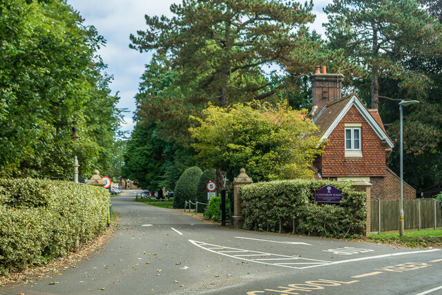
Aldwickbury School
Aldwickbury School is a 4–13 boys private preparatory school located on the outskirts of Harpenden, Hertfordshire in the United Kingdom. Aldwickbury School...

Heartwood Forest
Heartwood Forest is a planned forest (woodland creation site) in Hertfordshire, England. The site covers 347 hectares (860 acres), the largest continuous...
Nomansland Common
Nomansland Common (sometimes simply called No Man's Land) is an area of common land in Hertfordshire, England to the south of Harpenden and the south-west...

Harpenden Common Golf Club
Harpenden Common Golf Club is a private members' golf club in Harpenden, Hertfordshire. Although golf has been played on Harpenden Common since 1895, Harpenden...
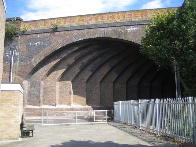
Southdown Road Skew Bridge
Southdown Road Skew Bridge is a ribbed skew arch railway bridge, which carries the Midland Main Line across Southdown Road in Harpenden, Hertfordshire...

St Albans City and District
St Albans (), commonly known as the City and District of St Albans, is a local government district with city status in Hertfordshire, England. Its council...
Childwickbury Stud
Childwickbury Stud is a Thoroughbred horse breeding farm near St Albans, Hertfordshire, England. Originally built in 1888 by Sir John Blundell Maple as...
Rothamsted Research
Rothamsted Research, previously known as the Rothamsted Experimental Station and then the Institute of Arable Crops Research, is one of the oldest agricultural...
Nearby Amenities
Located within 500m of 51.800502,-0.32561511Have you been to Clapper's Wood?
Leave your review of Clapper's Wood below (or comments, questions and feedback).