Deptford

Settlement in Durham

England

Deptford

St Peter's Church, Monkwearmouth, Sunderland Grade I listed Church 

<span class="nowrap"><a title="https://en.wikipedia.org/wiki/St_Peter%27s_Church,_Monkwearmouth" rel="nofollow ugc noopener" href="https://en.wikipedia.org/wiki/St_Peter%27s_Church,_Monkwearmouth">Link</a><img style="margin-left:2px;" alt="External link" title="External link - shift click to open in new window" src="https://s1.geograph.org.uk/img/external.png" width="10" height="10"/></span>
St Peter's Church, Monkwearmouth, Sunderland Credit: Brian Deegan

Deptford is a small village located in the county of Durham in the northeast of England. Situated approximately five miles south of the city of Sunderland, it falls within the metropolitan borough of South Tyneside.

The village is known for its picturesque setting, surrounded by rolling countryside and offering stunning views of the nearby River Wear. Deptford is primarily a residential area, characterized by a mix of housing types ranging from traditional cottages to modern developments.

In terms of amenities, the village boasts a few local shops, convenience stores, and a post office, providing residents with basic necessities. Additionally, there are a handful of pubs and restaurants, allowing locals to socialize and enjoy a meal or a drink.

Deptford has a strong sense of community, with various local organizations and clubs catering to different interests. The village has a primary school, providing education to the younger population, and is well-connected to neighboring towns and cities through a reliable bus service.

The surrounding area offers ample opportunities for outdoor activities, with countryside walks and nature reserves nearby. The village is also conveniently located for easy access to Sunderland, offering a wider range of amenities, shopping centers, and cultural attractions.

Overall, Deptford provides a peaceful and idyllic living environment, attracting residents who value a close-knit community and the natural beauty of the Durham countryside.

If you have any feedback on the listing, please let us know in the comments section below.
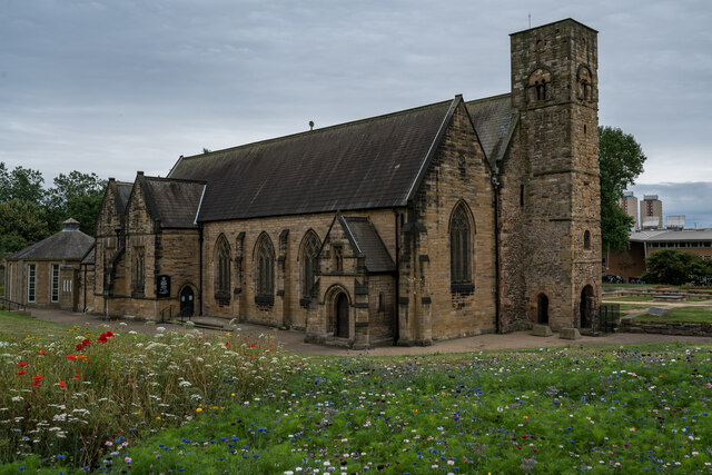
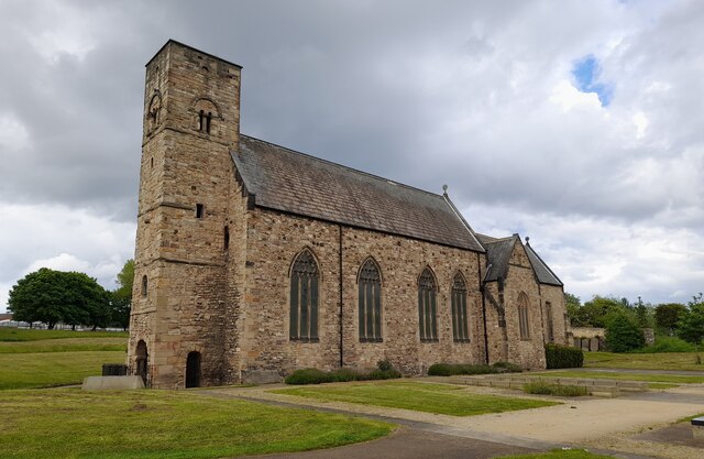
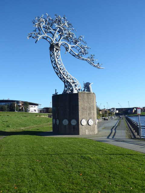
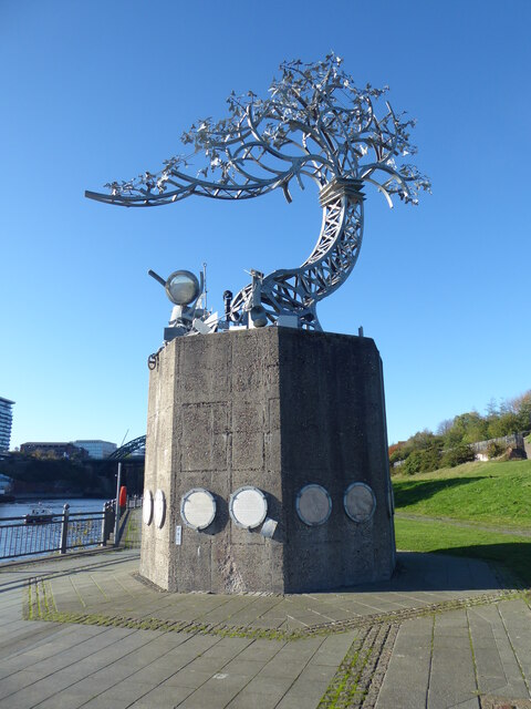
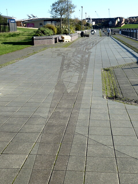
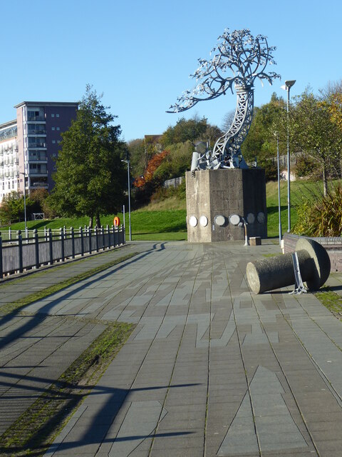
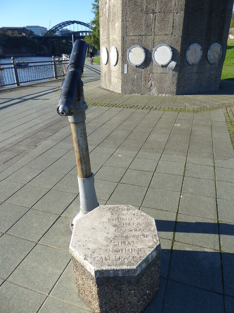
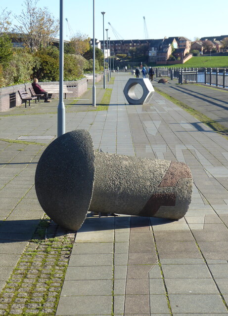
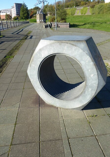
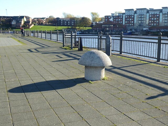
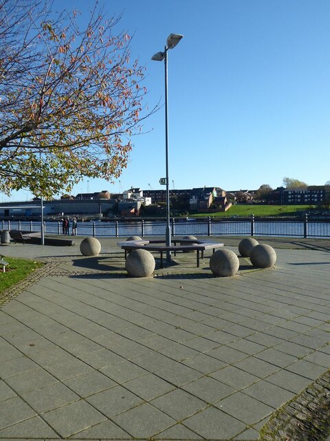
Deptford Images

Images are sourced within 2km of 54.913707/-1.398617 or Grid Reference NZ3857. Thanks to Geograph Open Source API. All images are credited.

St Peter's Church, Monkwearmouth, Sunderland Grade I listed Church 

<span class="nowrap"><a title="https://en.wikipedia.org/wiki/St_Peter%27s_Church,_Monkwearmouth" rel="nofollow ugc noopener" href="https://en.wikipedia.org/wiki/St_Peter%27s_Church,_Monkwearmouth">Link</a><img style="margin-left:2px;" alt="External link" title="External link - shift click to open in new window" src="https://s1.geograph.org.uk/img/external.png" width="10" height="10"/></span>
St Peter's Church, Monkwearmouth, Sunderland
Grade I listed Church LinkExternal link
St Peter's Church in the parish of Monkwearmouth St Peter's Church, Monkwearmouth is the parish church of Monkwearmouth in Sunderland, Tyne and Wear, England. It is one of three churches in the Parish of Monkwearmouth. The others are the Victorian All Saints' Church, Monkwearmouth and the Edwardian St Andrew's Church, Roker.

St Peter's was founded in AD 674–5 as one of the two churches of the Benedictine double monastery of Monkwearmouth–Jarrow Abbey. The other church is St Paul's Church, Jarrow. St Peter's is a Grade I listed building and part of a scheduled monument.
St Peter's Church in the parish of Monkwearmouth
St Peter's Church, Monkwearmouth is the parish church of Monkwearmouth in Sunderland, Tyne and Wear, England. It is one of three churches in the Parish of Monkwearmouth. The others are the Victorian All Saints' Church, Monkwearmouth and the Edwardian St Andrew's Church, Roker. St Peter's was founded in AD 674–5 as one of the two churches of the Benedictine double monastery of Monkwearmouth–Jarrow Abbey. The other church is St Paul's Church, Jarrow. St Peter's is a Grade I listed building and part of a scheduled monument.
"Shadows in another light" Dating from 1998, one of the sculptures forming part of the St Peter's Riverside Sculpture Project. The base is actually the original base of a riverside crane. Sometimes alternatively known as "The Iron Tree". To the east, the supposed shadow of the original crane is picked out in the paving slabs along the riverside path. The University of Sunderland Library can be seen in the distance.
"Shadows in another light"
Dating from 1998, one of the sculptures forming part of the St Peter's Riverside Sculpture Project. The base is actually the original base of a riverside crane. Sometimes alternatively known as "The Iron Tree". To the east, the supposed shadow of the original crane is picked out in the paving slabs along the riverside path. The University of Sunderland Library can be seen in the distance.
"Shadows in another light" Dating from 1998, one of the sculptures forming part of the St Peter's Riverside Sculpture Project. The base is actually the original base of a riverside crane. Sometimes alternatively known as "The Iron Tree". To the east, the supposed shadow of the original crane is picked out in the paving slabs along the riverside path.
"Shadows in another light"
Dating from 1998, one of the sculptures forming part of the St Peter's Riverside Sculpture Project. The base is actually the original base of a riverside crane. Sometimes alternatively known as "The Iron Tree". To the east, the supposed shadow of the original crane is picked out in the paving slabs along the riverside path.
Shadow on St Peter's Riverside path The supposed shadow of a crane is picked out in the paving slabs along the riverside path. The University of Sunderland Library can be seen in the distance. See also <a href="https://www.geograph.org.uk/photo/7333203">NZ4057 : "Shadows in another light"</a>.
Shadow on St Peter's Riverside path
The supposed shadow of a crane is picked out in the paving slabs along the riverside path. The University of Sunderland Library can be seen in the distance. See also NZ4057 : "Shadows in another light".
Sculpture and "shadow" on St Peter's Riverside The supposed shadow of a crane (originally standing on the concrete base of the sculpture) is picked out in the paving slabs along the riverside path. A concrete "rivet" can also be seen, commemorating the days of shipbuilding.  See also <a href="https://www.geograph.org.uk/photo/7333203">NZ4057 : "Shadows in another light"</a>.
Sculpture and "shadow" on St Peter's Riverside
The supposed shadow of a crane (originally standing on the concrete base of the sculpture) is picked out in the paving slabs along the riverside path. A concrete "rivet" can also be seen, commemorating the days of shipbuilding. See also NZ4057 : "Shadows in another light".
Shadow beside St Peter's Riverside The actual shadow of the "Shadows in another light" sculpture. See also <a href="https://www.geograph.org.uk/photo/7333246">NZ4057 : Sculpture and "shadow" on St Peter's Riverside</a>.
Shadow beside St Peter's Riverside
The actual shadow of the "Shadows in another light" sculpture. See also NZ4057 : Sculpture and "shadow" on St Peter's Riverside.
Telescope on St Peter's Riverside The plinth bears the inscription:
"Look up and see behind you. A shadow can raise a memory that nothing can erase."
This refers to the sculpture seen in <a href="https://www.geograph.org.uk/photo/7333208">NZ4057 : "Shadows in another light"</a> and the supposed shadow of a crane seen in <a href="https://www.geograph.org.uk/photo/7333239">NZ4057 : Shadow on St Peter's Riverside path</a>.
Telescope on St Peter's Riverside
The plinth bears the inscription: "Look up and see behind you. A shadow can raise a memory that nothing can erase." This refers to the sculpture seen in NZ4057 : "Shadows in another light" and the supposed shadow of a crane seen in NZ4057 : Shadow on St Peter's Riverside path.
Rivet and nut Two artefacts commemorating the shipbuilding tradition of the locality; part of the St Peter's Riverside Sculpture Project.
Rivet and nut
Two artefacts commemorating the shipbuilding tradition of the locality; part of the St Peter's Riverside Sculpture Project.
Giant nut on St Peter's Riverside Artefact commemorating the shipbuilding tradition of the locality; part of the St Peter's Riverside Sculpture Project. A giant rivet and the "Shadows in another light" sculpture can be seen in the middle distance.
Giant nut on St Peter's Riverside
Artefact commemorating the shipbuilding tradition of the locality; part of the St Peter's Riverside Sculpture Project. A giant rivet and the "Shadows in another light" sculpture can be seen in the middle distance.
St Peter's Riverside Artefacts commemorating the shipbuilding tradition of the locality; part of the St Peter's Riverside Sculpture Project.
St Peter's Riverside
Artefacts commemorating the shipbuilding tradition of the locality; part of the St Peter's Riverside Sculpture Project.
Lamp standard on St Peter's Riverside.
"Pathways to Knowledge" The text was taken from an ancient manuscript kept  in St Peter's Church nearby, possibly with a connection to the Venerable Bede. This page is just one component of a sculpture of a pile of books installed in front of the University Library.
"Pathways to Knowledge"
The text was taken from an ancient manuscript kept in St Peter's Church nearby, possibly with a connection to the Venerable Bede. This page is just one component of a sculpture of a pile of books installed in front of the University Library.
University Library On St Peter's Riverside.
University Library
On St Peter's Riverside.
Bede's Way monument This monument which stands outside the National Glass Centre is apparently related to Bede's Way, a 20 km walking and cycling route linking the twin Anglo-Saxon monasteries of St Peter's in Wearmouth and St Paul's in Jarrow. However the thin yellow line (scarcely visible in this image) does not seem to conform to the shape of the route of Bede's Way. Small copies of the emblem can be found inserted into the paving of St Peter's Riverside (see <a href="https://www.geograph.org.uk/photo/7333194">NZ3957 : Emblem of Bede's Way</a>).
Bede's Way monument
This monument which stands outside the National Glass Centre is apparently related to Bede's Way, a 20 km walking and cycling route linking the twin Anglo-Saxon monasteries of St Peter's in Wearmouth and St Paul's in Jarrow. However the thin yellow line (scarcely visible in this image) does not seem to conform to the shape of the route of Bede's Way. Small copies of the emblem can be found inserted into the paving of St Peter's Riverside (see NZ3957 : Emblem of Bede's Way).
Entrance to the National Glass Centre
"Out  of the blue" Glass sculpture by Rachael Woodman, on display in the National Glass Centre.
"Out of the blue"
Glass sculpture by Rachael Woodman, on display in the National Glass Centre.
Show me another place!

Deptford is located at Grid Ref: NZ3857 (Lat: 54.913707, Lng: -1.398617)

Unitary Authority: Sunderland

Police Authority: Northumbria

What 3 Words

///faced.mole.myself. Near Sunderland, Tyne & Wear

Related Wikis

Sunderland Power Station

Sunderland Power Station was a coal-fired power station situated on the bank of the River Wear, in the city centre of Sunderland, in Tyne and Wear, North...

Queen Alexandra Bridge

The Queen Alexandra Bridge is a road traffic, pedestrian and former railway bridge spanning the River Wear in North East England, linking the Deptford...

Sunderland Aquatic Centre

Sunderland Aquatic Centre is an indoor sports complex next to the Stadium of Light in the city of Sunderland, England. It contains an Olympic-size swimming...

Stadium of Light

The Stadium of Light is an all-seater football stadium in Sunderland, England, and the eighth and current home to Sunderland A.F.C. With space for 48,339...

Monkwearmouth Colliery

Monkwearmouth Colliery (or Wearmouth Colliery) was a major North Sea coal mine located on the north bank of the River Wear, located in Sunderland. It was...

Southwick, Sunderland

Southwick is a former village and now a suburb on the north banks of the River Wear in the city of Sunderland in the county of Tyne and Wear, historically...

Millfield Metro station

Millfield is a Tyne and Wear Metro station, serving Sunderland Royal Hospital and the suburb of Millfield, City of Sunderland in Tyne and Wear, England...

Institute for International Research in Glass

The Institute for International Research in Glass (or IIRG) promotes and facilitates research in Glass at a national and international level. It is part...

Nearby Amenities

Located within 500m of 54.913707,-1.398617
Source: PGS
Lat/Long: 54.9142263/-1.4058567
Source: PGS
Lat/Long: 54.9142221/-1.4057398
Source: PGS
Lat/Long: 54.9143159/-1.4041065
Created By: almien_coastlines
Source: PGS
Lat/Long: 54.9144414/-1.403138
Source: PGS
Lat/Long: 54.9153271/-1.4016877
Source: PGS
Lat/Long: 54.9165834/-1.400386
Source: PGS
Lat/Long: 54.9168715/-1.3998969
Source: PGS
Lat/Long: 54.9170646/-1.3995448
Source: PGS
Lat/Long: 54.9173308/-1.3987861
Created By: almien_coastlines
Source: PGS
Lat/Long: 54.9175676/-1.3979282
Created By: almien_coastlines
Source: PGS
Lat/Long: 54.9160077/-1.3920232
Created By: almien_coastlines
Source: PGS
Lat/Long: 54.9156129/-1.3919073
Created By: almien_coastlines
Source: PGS
Lat/Long: 54.9149117/-1.3917814
Created By: almien_coastlines
Source: PGS
Lat/Long: 54.9141385/-1.3917309
Created By: almien_coastlines
Source: PGS
Lat/Long: 54.9137445/-1.3916367
Created By: almien_coastlines
Source: PGS
Lat/Long: 54.9130712/-1.3916369
Source: PGS
Lat/Long: 54.9115895/-1.3918774
Source: PGS
Lat/Long: 54.9118073/-1.3921513
Source: PGS
Lat/Long: 54.912216/-1.3925585
Source: PGS
Lat/Long: 54.9125196/-1.3928025
Source: PGS
Lat/Long: 54.9127092/-1.3929001
Source: PGS
Lat/Long: 54.9132938/-1.3931863
Source: PGS
Lat/Long: 54.9136361/-1.393329
Source: PGS
Lat/Long: 54.9141807/-1.3934661
Source: PGS
Lat/Long: 54.9167415/-1.3973388
Source: PGS
Lat/Long: 54.9166034/-1.3979571
Created By: almien_coastlines
Source: PGS
Lat/Long: 54.9165253/-1.3982108
Source: PGS
Lat/Long: 54.9162364/-1.3987134
Source: PGS
Lat/Long: 54.9159239/-1.3992151
Created By: almien_coastlines
Source: PGS
Lat/Long: 54.9154597/-1.3997476
Source: PGS
Lat/Long: 54.9150859/-1.4001656
Source: PGS
Lat/Long: 54.9145704/-1.4005488
Created By: almien_coastlines
Source: PGS
Lat/Long: 54.9142563/-1.4009688
Source: PGS
Lat/Long: 54.913955/-1.4013935
Created By: almien_coastlines
Source: PGS
Lat/Long: 54.9138813/-1.4016498
Source: PGS
Lat/Long: 54.9137444/-1.4020938
Source: PGS
Lat/Long: 54.9134901/-1.4028991
Source: PGS
Lat/Long: 54.9133443/-1.4055418
Source: PGS
Lat/Long: 54.9147159/-1.4024677
Bus Stop
Pallion New Road
Bus: yes
Departures Board: timetable
Local Ref: E
Naptan AtcoCode: 410000024396
Naptan Bearing: E
Naptan CommonName: PALLION NEW ROAD-BRIDGE-E/B
Naptan Indicator: E
Naptan Landmark: OPPOSITE THE PYREX WORKS
Naptan NaptanCode: twrdwpat
Naptan PlusbusZoneRef: SNDRLND
Naptan Street: PALLION NEW ROAD
Naptan Verified: no
Public Transport: platform
Source: naptan_import
Lat/Long: 54.9109342/-1.4036185
Bus Stop
TRIMDON STREET-ENDERBY ROAD-E/B
Bus: yes
Local Ref: E
Naptan AtcoCode: 410000024397
Naptan Bearing: E
Naptan CommonName: TRIMDON STREET-ENDERBY ROAD-E/B
Naptan Indicator: E
Naptan Landmark: OUTSIDE THE CEMENT WORKS
Naptan NaptanCode: twrdwpaw
Naptan PlusbusZoneRef: SNDRLND
Naptan Street: TRIMDON STREET
Naptan Verified: no
Public Transport: platform
Source: naptan_import
Lat/Long: 54.9108549/-1.3986582
Bus Stop
Trimdon Street-B&Q
Bus: yes
Local Ref: S
Naptan AtcoCode: 410000024398
Naptan Bearing: S
Naptan Indicator: S-Bound
Naptan Landmark: Outside B&q
Naptan NaptanCode: twrdwpda
Naptan PlusbusZoneRef: SNDRLND
Naptan Street: Trimdon Street
Naptan Verified: no
Public Transport: platform
Source: naptan_import
Wheelchair: no
Lat/Long: 54.9100926/-1.3960024
Bus Stop
Trimdon Street
Bus: yes
Departures Board: timetable
Local Ref: N
Naptan AtcoCode: 410000024360
Naptan Bearing: N
Naptan CommonName: TRIMDON STREET-B&Q-N/B
Naptan Indicator: N
Naptan Landmark: OPPOSITE B&Q
Naptan NaptanCode: twrdwmgt
Naptan PlusbusZoneRef: SNDRLND
Naptan Street: TRIMDON STREET
Naptan Verified: no
Public Transport: platform
Shelter: no
Source: naptan_import
Lat/Long: 54.9098065/-1.3958188
Bus Stop
TRIMDON STREET-ENDERBY ROAD-W/B
Bus: yes
Local Ref: W
Naptan AtcoCode: 410000024361
Naptan Bearing: W
Naptan CommonName: TRIMDON STREET-ENDERBY ROAD-W/B
Naptan Indicator: W
Naptan Landmark: OPPOSITE THE CEMENT WORKS
Naptan NaptanCode: twrdwmgw
Naptan PlusbusZoneRef: SNDRLND
Naptan Street: TRIMDON STREET
Naptan Verified: no
Public Transport: platform
Source: naptan_import
Lat/Long: 54.9107489/-1.3990341
Bus Stop
PALLION NEW ROAD-BRIDGE-W/B
Bus: yes
Local Ref: W
Naptan AtcoCode: 410000024362
Naptan Bearing: W
Naptan CommonName: PALLION NEW ROAD-BRIDGE-W/B
Naptan Indicator: W
Naptan Landmark: OUTSIDE THE PYREX WORKS
Naptan NaptanCode: twrdwmja
Naptan PlusbusZoneRef: SNDRLND
Naptan Street: PALLION NEW ROAD
Naptan Verified: no
Public Transport: platform
Shelter: yes
Source: naptan_import
Lat/Long: 54.9108665/-1.404679
Traffic Signals
Traffic Signals: signal
Lat/Long: 54.9105067/-1.3975956
Traffic Calming: hump
Lat/Long: 54.9103074/-1.3982091
Bar
Kings Arms
Addr City: Sunderland
Addr Street: Beach Street
Lat/Long: 54.9118614/-1.3938312
B&Q
Addr City: Sunderland
Brand: B&Q
Brand Wikidata: Q707602
Brand Wikipedia: en:B&Q
Contact Website: https://www.diy.com/store/1050
Shop: doityourself
Lat/Long: 54.9106111/-1.3952464
Traffic Signals
Traffic Signals: signal
Lat/Long: 54.9102116/-1.3971012
Crossing
Crossing: traffic_signals
Crossing Island: yes
Crossing Ref: toucan
Tactile Paving: yes
Lat/Long: 54.9112041/-1.3991964
Traffic Signals
Traffic Signals: signal
Traffic Signals Direction: forward
Lat/Long: 54.9109885/-1.3988083
Crossing
Crossing: unmarked
Crossing Island: yes
Tactile Paving: yes
Lat/Long: 54.9128305/-1.4003497
Traffic Signals
Traffic Signals: signal
Lat/Long: 54.9106131/-1.3975747
Traffic Signals
Traffic Signals: signal
Lat/Long: 54.9105292/-1.3970123
Traffic Signals
Traffic Signals: signal
Traffic Signals Direction: forward
Lat/Long: 54.910923/-1.3989547
Traffic Signals
Traffic Signals: signal
Lat/Long: 54.9113662/-1.3988124
Traffic Signals
Traffic Signals: signal
Lat/Long: 54.9113516/-1.3989271
Traffic Signals
Traffic Signals: crossing
Lat/Long: 54.9121215/-1.3992954
Traffic Signals
Traffic Signals: crossing
Lat/Long: 54.9119346/-1.3994223
Crossing
Crossing: traffic_signals
Crossing Island: yes
Tactile Paving: yes
Lat/Long: 54.9120844/-1.3992645
Crossing
Crossing: traffic_signals
Crossing Island: yes
Tactile Paving: yes
Lat/Long: 54.9119732/-1.3994547
Traffic Signals
Traffic Signals: signal
Lat/Long: 54.911163/-1.3992424
Traffic Signals
Traffic Signals: signal
Lat/Long: 54.9110943/-1.3991479
Traffic Signals
Traffic Signals: signal
Lat/Long: 54.9105436/-1.3972191
Traffic Signals
Traffic Signals: signal
Lat/Long: 54.9102719/-1.3970568
Crossing
Crossing: traffic_signals
Crossing Island: yes
Tactile Paving: yes
Lat/Long: 54.9128354/-1.4041071
Crossing
Crossing: traffic_signals
Crossing Island: yes
Tactile Paving: yes
Lat/Long: 54.9129522/-1.4042258
Traffic Signals
Traffic Signals: crossing
Lat/Long: 54.9129564/-1.4043082
Traffic Signals
Traffic Signals: crossing
Lat/Long: 54.9128304/-1.4040218
Crossing
Crossing: unmarked
Crossing Island: yes
Tactile Paving: yes
Lat/Long: 54.912808/-1.4001441
Crossing
Crossing: unmarked
Crossing Island: yes
Tactile Paving: yes
Lat/Long: 54.9122041/-1.3999268
Crossing
Crossing: unmarked
Crossing Island: no
Tactile Paving: yes
Lat/Long: 54.9129783/-1.4014396
Crossing
Crossing: traffic_signals
Crossing Island: yes
Crossing Ref: toucan
Tactile Paving: yes
Lat/Long: 54.9109356/-1.3990253
Crossing
Crossing: traffic_signals
Crossing Island: yes
Crossing Ref: toucan
Tactile Paving: yes
Lat/Long: 54.9110369/-1.3990211
Crossing
Crossing: traffic_signals
Crossing Island: yes
Crossing Ref: toucan
Tactile Paving: yes
Lat/Long: 54.911327/-1.3987904
Crossing
Crossing: traffic_signals
Crossing Island: yes
Crossing Ref: toucan
Tactile Paving: yes
Lat/Long: 54.9113062/-1.3988995
Crossing
Crossing: traffic_signals
Crossing Island: yes
Crossing Ref: toucan
Tactile Paving: yes
Lat/Long: 54.9112248/-1.3990083
Crossing
Crossing: traffic_signals
Crossing Island: yes
Crossing Ref: toucan
Tactile Paving: yes
Lat/Long: 54.9111143/-1.3990798
Give Way
Direction: backward
Lat/Long: 54.9120581/-1.3939958
Crossing
Crossing: traffic_signals
Crossing Island: yes
Crossing Ref: toucan
Tactile Paving: yes
Lat/Long: 54.9102908/-1.397128
Crossing
Crossing: traffic_signals
Crossing Island: yes
Crossing Ref: toucan
Tactile Paving: yes
Lat/Long: 54.9102326/-1.3971716
Crossing
Crossing: traffic_signals
Crossing Island: yes
Crossing Ref: toucan
Tactile Paving: yes
Lat/Long: 54.9103901/-1.3971623
Crossing
Crossing: traffic_signals
Crossing Island: yes
Crossing Ref: toucan
Tactile Paving: yes
Lat/Long: 54.9105066/-1.3972527
Crossing
Crossing: traffic_signals
Crossing Island: yes
Crossing Ref: toucan
Tactile Paving: yes
Lat/Long: 54.9105435/-1.3973756
Crossing
Crossing: traffic_signals
Crossing Island: yes
Crossing Ref: toucan
Tactile Paving: yes
Lat/Long: 54.9106248/-1.3975071
Crossing
Crossing: traffic_signals
Crossing Island: yes
Crossing Ref: toucan
Tactile Paving: yes
Lat/Long: 54.9104864/-1.3970008
Crossing
Crossing: unmarked
Crossing Island: yes
Tactile Paving: yes
Lat/Long: 54.9107503/-1.4003566
Crossing
Crossing: unmarked
Crossing Island: no
Tactile Paving: yes
Lat/Long: 54.9097864/-1.3961135
Crossing
Crossing: unmarked
Crossing Island: no
Tactile Paving: yes
Lat/Long: 54.9112275/-1.3960639
Crossing
Crossing: unmarked
Crossing Island: yes
Tactile Paving: yes
Lat/Long: 54.9109187/-1.3963252
Crossing
Crossing: unmarked
Crossing Island: no
Tactile Paving: yes
Lat/Long: 54.909564/-1.3957509
Man Made: crane
Lat/Long: 54.9138207/-1.3937388
Man Made: crane
Lat/Long: 54.914166/-1.3938056
Man Made: crane
Lat/Long: 54.9146335/-1.3945764
Man Made: crane
Lat/Long: 54.9147905/-1.3950073
Man Made: crane
Lat/Long: 54.9148358/-1.3944004
Men of Steel
Artwork Type: sculpture
Tourism: artwork
Lat/Long: 54.9143196/-1.3910355
Man Made: crane
Lat/Long: 54.9160272/-1.39445
Man Made: crane
Lat/Long: 54.9160987/-1.395171
The data included in this document is from www.openstreetmap.org. The data is made available under ODbL.

Have you been to Deptford?

Leave your review of Deptford below (or comments, questions and feedback).