Millfield
Settlement in Durham
England
Millfield
Millfield is a residential area located in the city of Durham, England. Situated just to the east of the city center, it is a vibrant and diverse community that offers a range of amenities and attractions.
The area is primarily residential, with a mix of housing types including terraced houses, semi-detached properties, and some apartment buildings. The architecture is varied, reflecting different periods of development throughout the years. Millfield is known for its close-knit community feel, with residents often participating in local events and community initiatives.
There are several parks and green spaces in the area, including Millfield Park, which provides a pleasant environment for outdoor activities and relaxation. The park features well-maintained lawns, play areas for children, and sports facilities.
Millfield benefits from its proximity to Durham city center, which is easily accessible on foot or by public transport. This allows residents to enjoy the various amenities and attractions that the city has to offer, including shops, restaurants, cafes, and cultural sites such as Durham Cathedral and Durham Castle.
The area is also well-served by local amenities, with a range of shops, supermarkets, and services available within walking distance. There are several schools in the area, making it a popular choice for families with children. Additionally, Millfield has good transport links, with regular bus services connecting it to other parts of Durham and the surrounding areas.
Overall, Millfield offers a pleasant and convenient place to live, with a strong sense of community and access to a range of amenities and attractions.
If you have any feedback on the listing, please let us know in the comments section below.
Millfield Images
Images are sourced within 2km of 54.909507/-1.403359 or Grid Reference NZ3857. Thanks to Geograph Open Source API. All images are credited.


Millfield is located at Grid Ref: NZ3857 (Lat: 54.909507, Lng: -1.403359)
Unitary Authority: Sunderland
Police Authority: Northumbria
What 3 Words
///fits.elite.soap. Near Sunderland, Tyne & Wear
Nearby Locations
Related Wikis

Millfield Metro station
Millfield is a Tyne and Wear Metro station, serving Sunderland Royal Hospital and the suburb of Millfield, City of Sunderland in Tyne and Wear, England...

Queen Alexandra Bridge
The Queen Alexandra Bridge is a road traffic, pedestrian and former railway bridge spanning the River Wear in North East England, linking the Deptford...

Sunderland Power Station
Sunderland Power Station was a coal-fired power station situated on the bank of the River Wear, in the city centre of Sunderland, in Tyne and Wear, North...
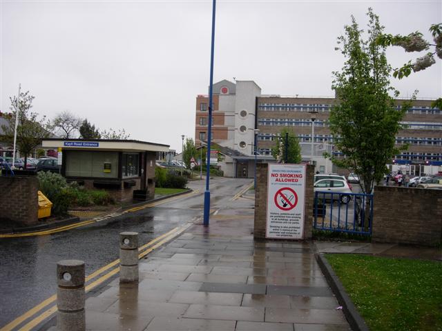
Sunderland Royal Hospital
Sunderland Royal Hospital is an acute general hospital in Sunderland, Tyne and Wear. It is managed by the South Tyneside and Sunderland NHS Foundation...
University of Sunderland
The University of Sunderland is a public research university located in Sunderland in the North East of England. Its predecessor, Sunderland Technical...
Pallion
Pallion is a suburb and electoral ward in North West Sunderland, in Tyne and Wear, England. Most of the buildings in the area were built during the Victorian...
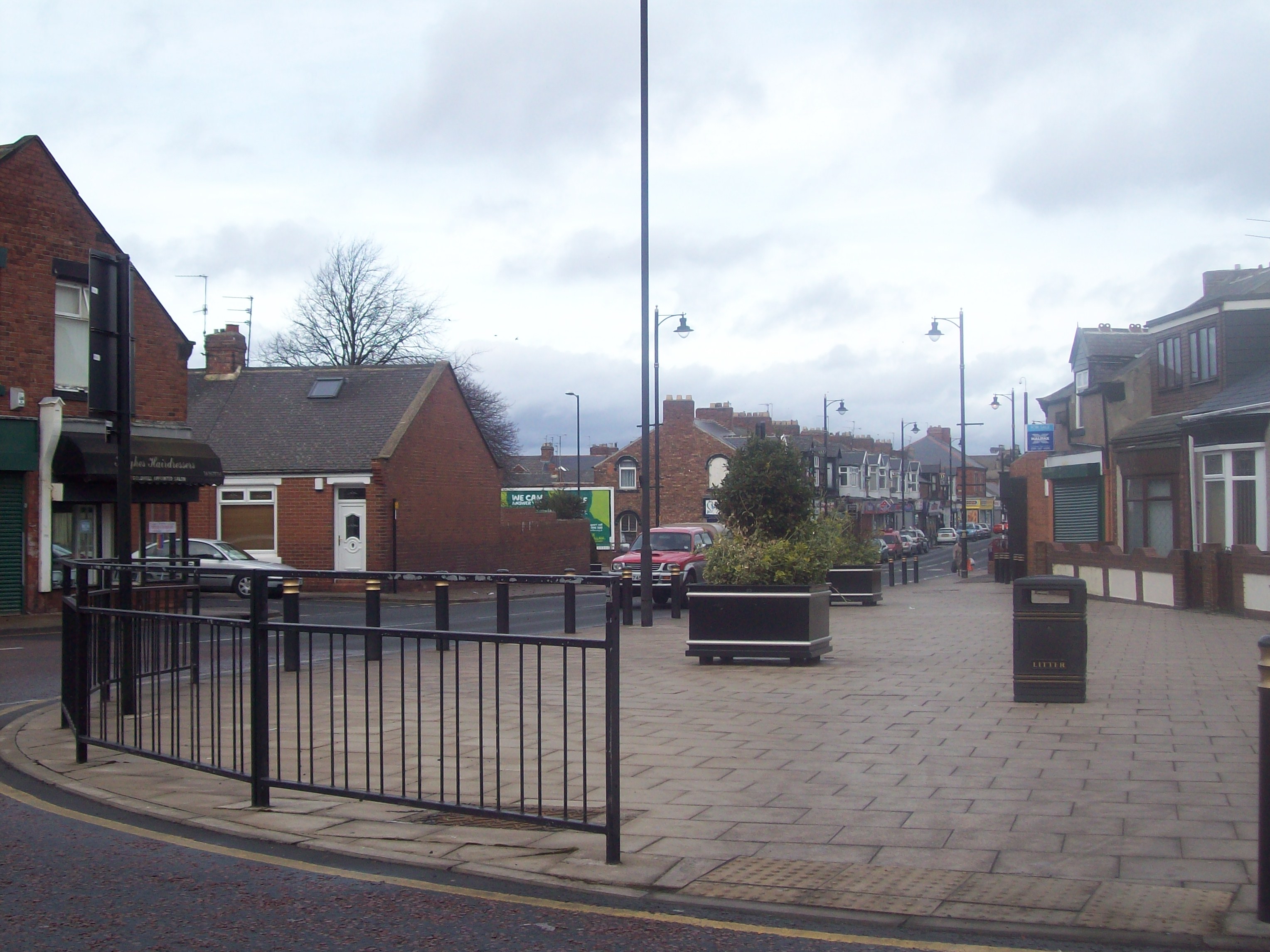
Millfield, Tyne and Wear
Millfield is a suburb and electoral ward of the City of Sunderland, in Tyne and Wear, England. Most of the buildings in the area were built after the Victorian...

Sunderland Aquatic Centre
Sunderland Aquatic Centre is an indoor sports complex next to the Stadium of Light in the city of Sunderland, England. It contains an Olympic-size swimming...
Nearby Amenities
Located within 500m of 54.909507,-1.403359Have you been to Millfield?
Leave your review of Millfield below (or comments, questions and feedback).