Aysgarth
Settlement in Yorkshire Richmondshire
England
Aysgarth
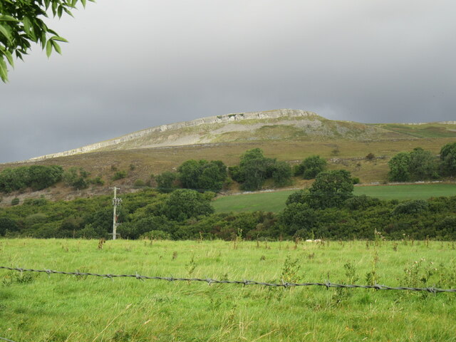
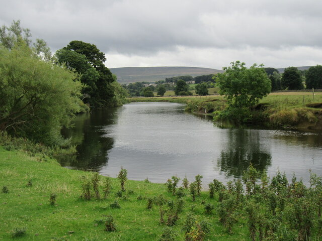
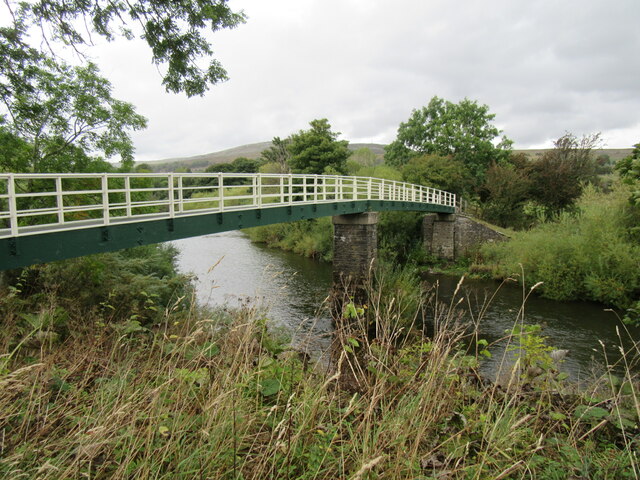
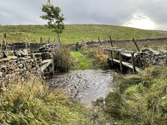
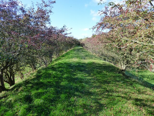
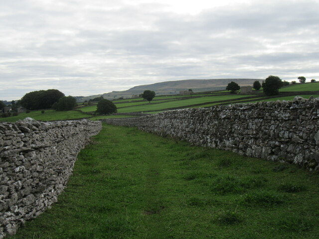
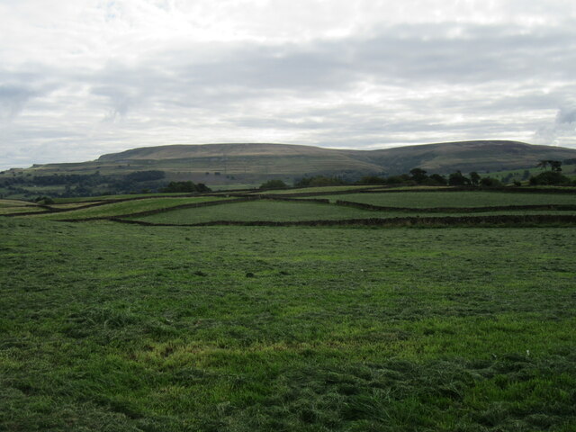
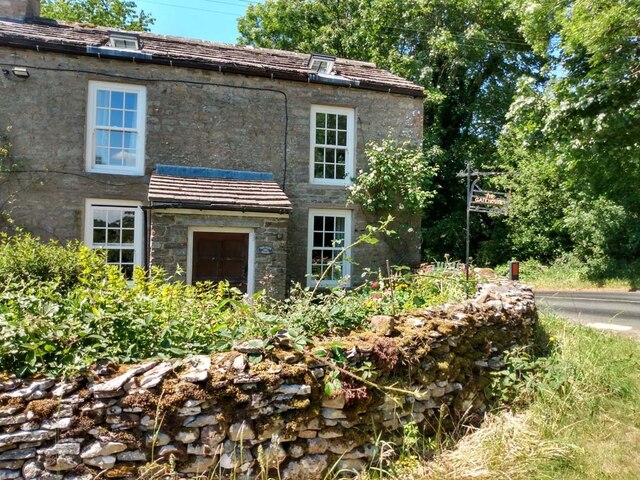
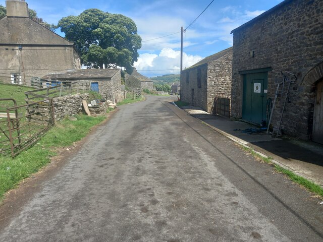
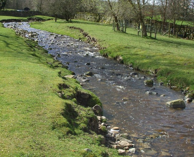
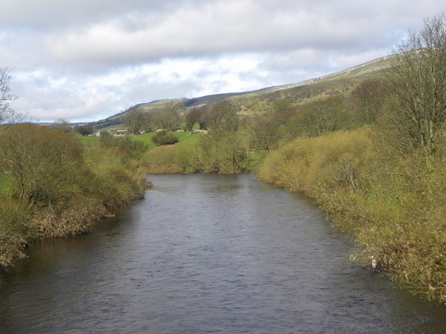
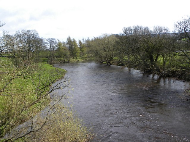
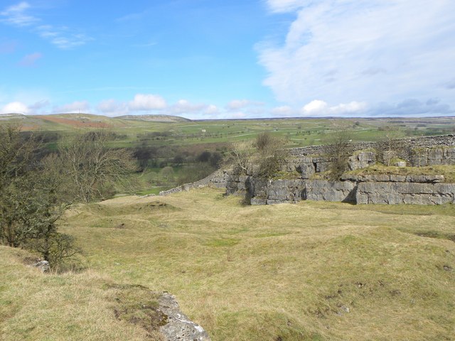
Aysgarth is a picturesque village located in the county of Yorkshire, England. Situated in the heart of the Yorkshire Dales National Park, it is renowned for its stunning natural beauty and rich history. The village lies on the banks of the River Ure, surrounded by rolling hills and verdant countryside, making it a popular destination for nature enthusiasts and hikers.
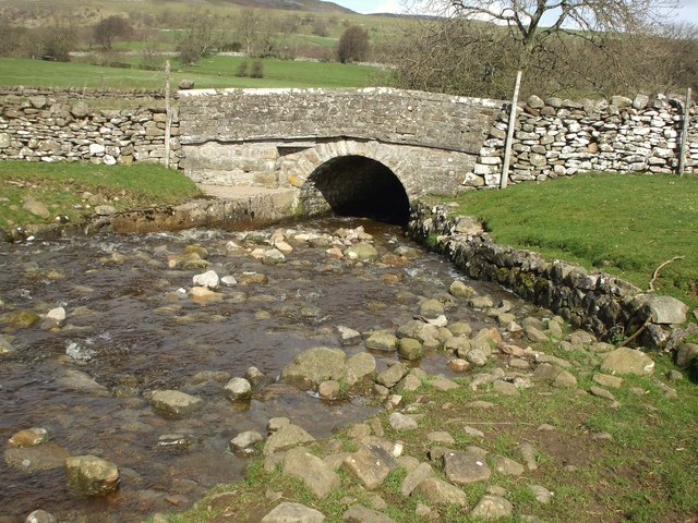
The main attraction in Aysgarth is the Aysgarth Falls, a series of cascading waterfalls that have captivated visitors for centuries. The falls are divided into three separate sections: the Upper Force, Middle Force, and Lower Force. Each section offers visitors a different perspective and a chance to admire the awe-inspiring power of nature.
In addition to its natural wonders, Aysgarth is also home to the historic St. Andrew's Church, a Grade II listed building dating back to the 15th century. The church boasts an impressive architectural style, with its Norman tower and Gothic features, and is a testament to the village's rich heritage.
Aysgarth offers a range of amenities for visitors, including charming tearooms, traditional pubs, and quaint bed and breakfast accommodations. The village is also a convenient base for exploring the wider Yorkshire Dales region, with its picturesque villages, ancient castles, and scenic walking trails.
Overall, Aysgarth is a hidden gem in Yorkshire, offering both natural beauty and historical charm, making it an ideal destination for those seeking a tranquil escape in the heart of the English countryside.
If you have any feedback on the listing, please let us know in the comments section below.
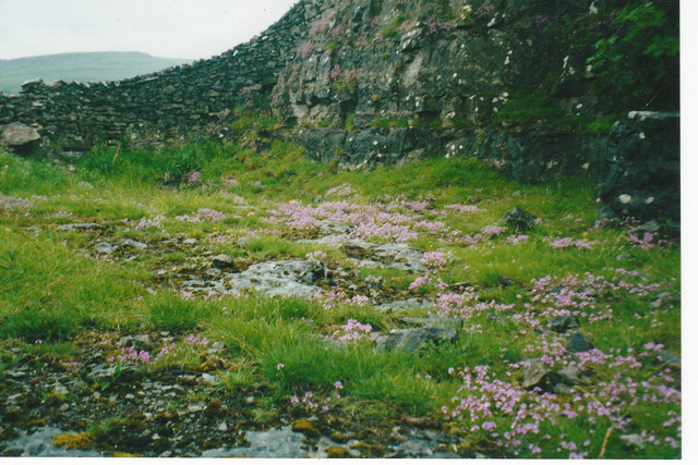
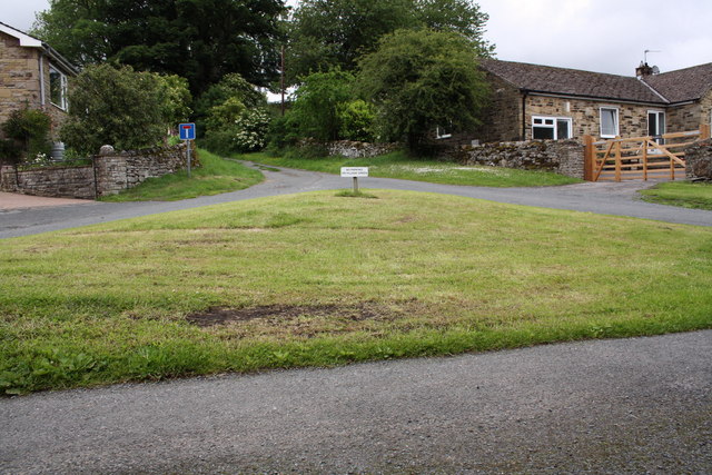
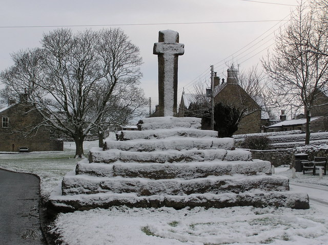
Aysgarth Images
Images are sourced within 2km of 54.291277/-1.999459 or Grid Reference SE0088. Thanks to Geograph Open Source API. All images are credited.
Aysgarth is located at Grid Ref: SE0088 (Lat: 54.291277, Lng: -1.999459)
Division: North Riding
Administrative County: North Yorkshire
District: Richmondshire
Police Authority: North Yorkshire
What 3 Words
///copy.eggshell.lately. Near Leyburn, North Yorkshire
Nearby Locations
Related Wikis

Aysgarth
Aysgarth is a village and civil parish in Wensleydale, in North Yorkshire, England. The village is in the Yorkshire Dales National Park, about 16 miles...

St Andrew's Church, Aysgarth
St Andrew's Church, Aysgarth, is a Grade II* listed parish church in the Church of England: 66 in Aysgarth, North Yorkshire. It is located on the south...

Aysgarth Falls
Aysgarth Falls are a triple flight of waterfalls, surrounded by woodland and farmland, carved out by the River Ure over an almost one-mile (two-kilometre...

A684 road
The A684 is an A road that runs through Cumbria and North Yorkshire, starting at Kendal, Cumbria and ending at Ellerbeck and the A19 road in North Yorkshire...
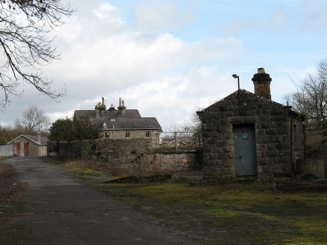
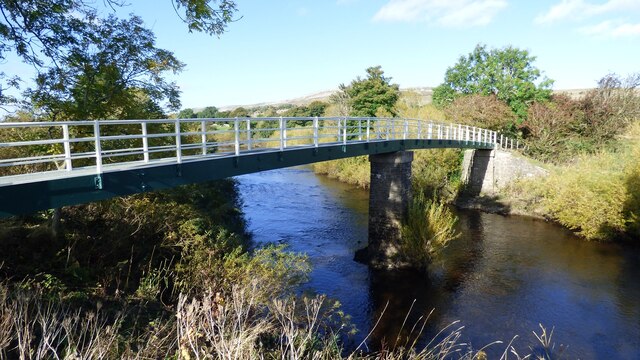
Aysgarth railway station
Aysgarth railway station is a disused railway station in North Yorkshire, England, near Aysgarth Falls. It was part of the Hawes Branch of the North Eastern...
Carperby
Carperby is a village in the Yorkshire Dales, North Yorkshire, England. It lies 7 miles (11 km) west of Leyburn. == Etymology == The derivation of the...

Thoralby
Thoralby is a village and civil parish in the Richmondshire district of North Yorkshire, England. It lies south of Aysgarth, is within a mile of both Newbiggin...

Carperby-cum-Thoresby
Carperby-cum-Thoresby is a civil parish in the Richmondshire district of North Yorkshire, England. The parish contains the village of Carperby and the...
Nearby Amenities
Located within 500m of 54.291277,-1.999459Have you been to Aysgarth?
Leave your review of Aysgarth below (or comments, questions and feedback).