Ayshford

Settlement in Devon Mid Devon

England

Ayshford

Sampford Peverell : Grassy Field & Sheep A grassy field with sheep.
Sampford Peverell : Grassy Field & Sheep Credit: Lewis Clarke

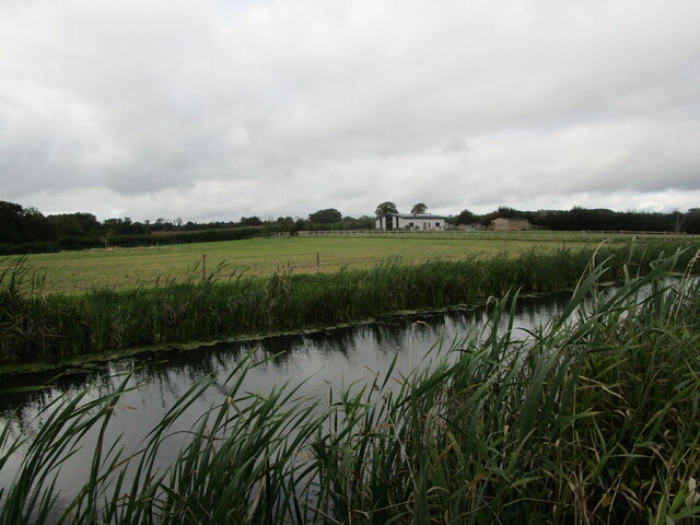
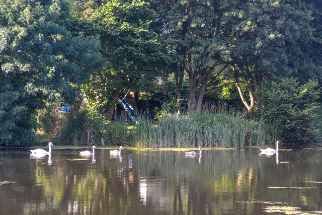
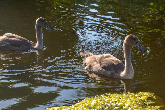
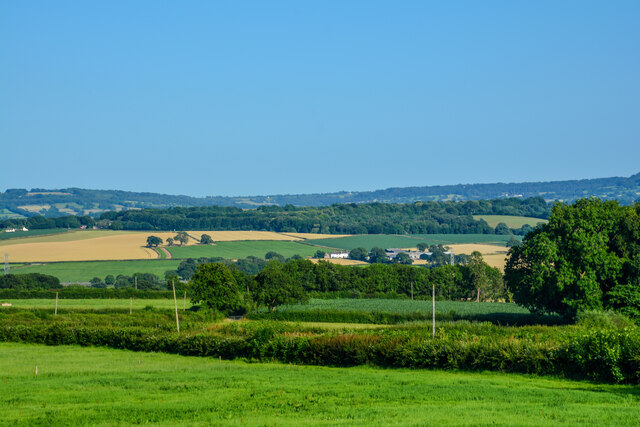
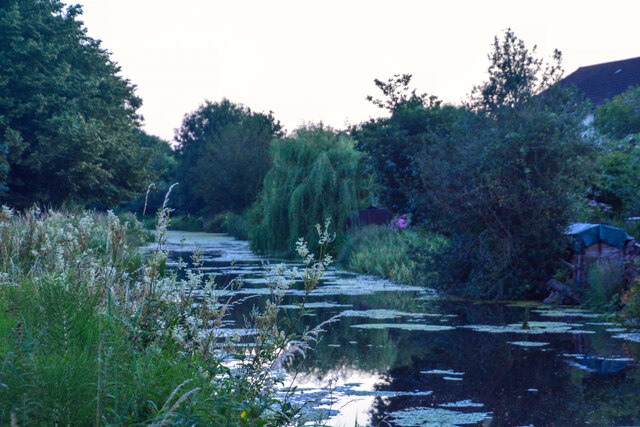
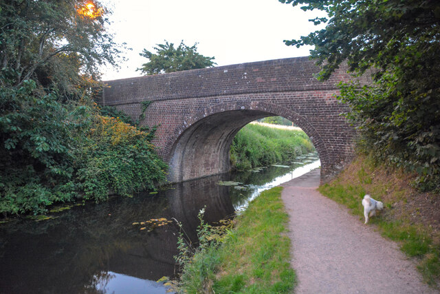
Ayshford is a small village located in the county of Devon, in the southwestern part of England. Situated on the banks of the River Teign, it is nestled in a picturesque rural setting, surrounded by rolling hills and green pastures.

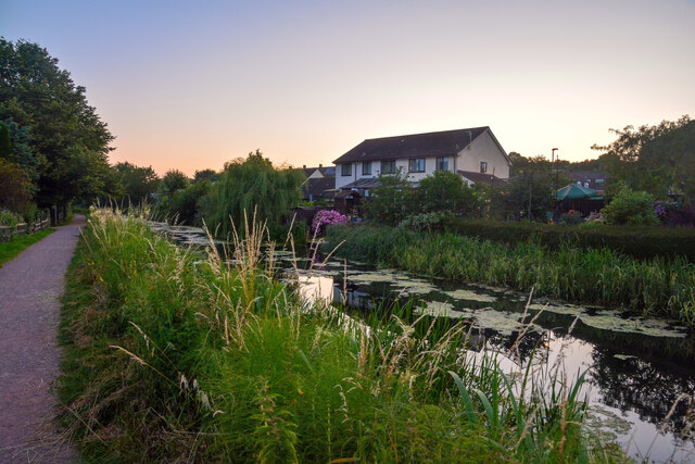
This charming village is known for its historic buildings and tranquil atmosphere. The architecture of Ayshford is predominantly traditional, with many well-preserved thatched cottages and stone houses that date back centuries. The village also boasts a medieval church, St. Andrew's Church, which is a prominent landmark and a testament to its rich history.

Ayshford is primarily an agricultural community, with farming playing a significant role in its economy. The fertile land surrounding the village makes it an ideal location for farming activities, particularly livestock and crop cultivation. The local farmers take pride in their produce, and visitors often have the opportunity to purchase fresh, locally sourced products.

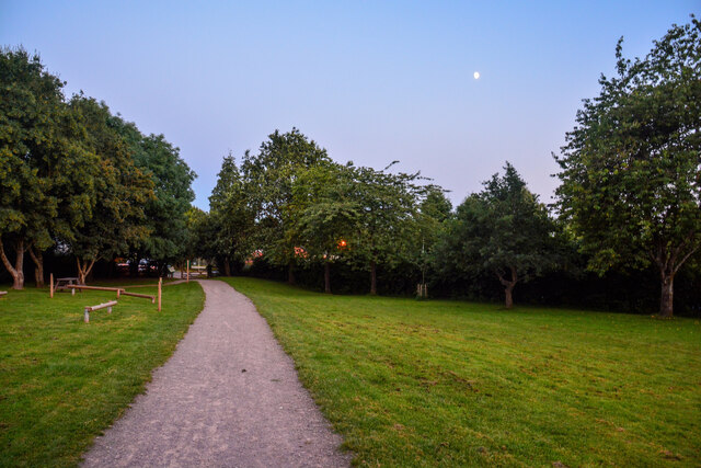
Despite its small size, Ayshford offers a range of amenities for both residents and visitors. There is a quaint village pub, The Teign Arms, where locals gather to socialize and enjoy a pint. Additionally, there are several walking trails in the area, allowing visitors to explore the beautiful countryside and enjoy the peaceful ambience.

Overall, Ayshford, Devon is a hidden gem that offers a glimpse into traditional English village life. Its idyllic setting, historical landmarks, and agricultural heritage make it a charming destination for those seeking a peaceful retreat in the heart of the countryside.

If you have any feedback on the listing, please let us know in the comments section below.
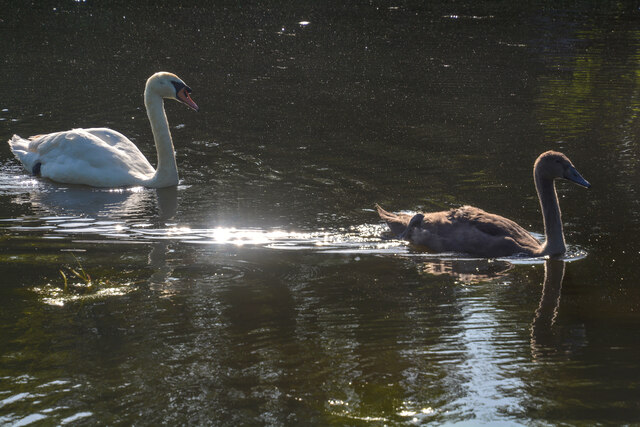
Ayshford Images

Images are sourced within 2km of 50.928736/-3.358179 or Grid Reference ST0415. Thanks to Geograph Open Source API. All images are credited.

Sampford Peverell : Grassy Field & Sheep A grassy field with sheep.
Sampford Peverell : Grassy Field & Sheep
A grassy field with sheep.
Sampford Peverell : Whitnage Road Looking along Whitnage Road.
Sampford Peverell : Whitnage Road
Looking along Whitnage Road.
Sampford Peverell : Park People enjoy a sunny afternoon on the benches in the park.
Sampford Peverell : Park
People enjoy a sunny afternoon on the benches in the park.
Sampford Peverell : Park A park area with benches.
Sampford Peverell : Park
A park area with benches.
Sampford Peverell : Phone Booth A phone booth now used as a book swap centre.
Sampford Peverell : Phone Booth
A phone booth now used as a book swap centre.
The Penzance to Paddington train arriving at Tiverton Parkway
Westcott Bridge, Grand Western Canal
Grand Western Canal and Ley Barn
Sampford Peverell : North Devon Link Road A361 An accident has taken place on the link road.
Sampford Peverell : North Devon Link Road A361
An accident has taken place on the link road.
Sampford Peverell : Grand Western Canal The canal and swans in Sampford Peverell.
Sampford Peverell : Grand Western Canal
The canal and swans in Sampford Peverell.
Sampford Peverell : Grand Western Canal Swans on the canal.
Sampford Peverell : Grand Western Canal
Swans on the canal.
Sampford Peverell : Grand Western Canal Swans on the canal.
Sampford Peverell : Grand Western Canal
Swans on the canal.
Sampford Peverell : Great Landslide Dogs have come to welcome us.
Sampford Peverell : Great Landslide
Dogs have come to welcome us.
Sampford Peverell : Countryside Scenery Looking out across the green fields.
Sampford Peverell : Countryside Scenery
Looking out across the green fields.
Sampford Peverell : Footpath A footpath through a grassy open space.
Sampford Peverell : Footpath
A footpath through a grassy open space.
Sampford Peverell : Grand Western Canal Looking along the Grand Western Canal.
Sampford Peverell : Grand Western Canal
Looking along the Grand Western Canal.
Sampford Peverell : Grand Western Canal Looking along the canal.
Sampford Peverell : Grand Western Canal
Looking along the canal.
Sampford Peverell : Grand Western Canal - Buckland Bridge GV II Road bridge over the Grand Western Canal. Circa 1814.
Sampford Peverell : Grand Western Canal - Buckland Bridge
GV II Road bridge over the Grand Western Canal. Circa 1814.
Show me another place!

Ayshford is located at Grid Ref: ST0415 (Lat: 50.928736, Lng: -3.358179)

Administrative County: Devon

District: Mid Devon

Police Authority: Devon and Cornwall

What 3 Words

///poodle.legal.fulfilled. Near Sampford Peverell, Devon

Related Wikis

Ayshford Chapel

Ayshford Chapel is a former private chapel in the village of Ayshford, in the parish of Burlescombe, Devon, England. It is recorded in the National Heritage...

Holbrook Garden

Holbrook Garden is a one hectare garden outside Sampford Peverell, Tiverton, Devon, with experimental naturalistic plantings creating differing habitats...

Ayshford

Ayshford is a hamlet and historic manor in the parish of Burlescombe in the district of Mid-Devon, Devon, England. It was anciently the seat of the de...

Tiverton Parkway railway station

Tiverton Parkway railway station is on the Bristol to Exeter line in Devon, England. Despite being named after the town of Tiverton it is actually located...

Sampford Peverell

Sampford Peverell is a village and civil parish in Mid-Devon, England. An old Saxon settlement, it was called Sanforda in the 1086 Doomsday Book. Its current...

Appledore, Mid Devon

Appledore is a small village near Uffculme in Devon, England, about 7 miles (11 kilometres) east of Tiverton.Appledore was listed in the Domesday Book...

Uffculme School

Uffculme School is a mixed secondary school located in Uffculme in the English county of Devon.Previously a community school administered by Devon County...

Canonsleigh Abbey

Canonsleigh Abbey was an Augustinian priory in the parish of Burlescombe, Devon. == History == It was founded in about 1170 by Walter de Claville, lord...

Nearby Amenities

Located within 500m of 50.928736,-3.358179
Holbrook Hill
Junction: yes
Lat/Long: 50.930228/-3.3625637
Ayshford
Place: hamlet
Lat/Long: 50.9281077/-3.3565813
Give Way
Direction: backward
Lat/Long: 50.9313668/-3.3616393
Holbrook Farm - Haulage Contractor
Lat/Long: 50.9260606/-3.3630685
Holbrook Garden
Lat/Long: 50.928982/-3.363326
Brand: National Grid
Brand Wikidata: Q1465461
Line Attachment: pin
Material: wood
Operator: National Grid Electricity Distribution
Operator Old: Western Power Distribution
Operator Wikidata: Q7988183
Owner: National Grid Electricity Distribution (South West) Plc
Owner Wikidata: Q114397866
Power: pole
Lat/Long: 50.9278286/-3.3515381
Brand: National Grid
Brand Wikidata: Q1465461
Line Attachment: pin
Material: wood
Operator: National Grid Electricity Distribution
Operator Old: Western Power Distribution
Operator Wikidata: Q7988183
Owner: National Grid Electricity Distribution (South West) Plc
Owner Wikidata: Q114397866
Power: pole
Lat/Long: 50.9269884/-3.352595
Brand: National Grid
Brand Wikidata: Q1465461
Line Attachment: pin
Material: wood
Operator: National Grid Electricity Distribution
Operator Old: Western Power Distribution
Operator Wikidata: Q7988183
Owner: National Grid Electricity Distribution (South West) Plc
Owner Wikidata: Q114397866
Power: pole
Lat/Long: 50.9261752/-3.3535096
Brand: National Grid
Brand Wikidata: Q1465461
Line Attachment: pin
Material: wood
Operator: National Grid Electricity Distribution
Operator Old: Western Power Distribution
Operator Wikidata: Q7988183
Owner: National Grid Electricity Distribution (South West) Plc
Owner Wikidata: Q114397866
Power: pole
Lat/Long: 50.9253806/-3.3544484
Access: private
Door: hinged
Door Type: single
Entrance: main
Foot: private
Motorcar: no
Lat/Long: 50.9285847/-3.3555776
Brand: National Grid
Brand Wikidata: Q1465461
Devices: 1
Frequency: 50
Line Attachment: pin
Material: wood
Operator: National Grid Electricity Distribution Plc
Operator Old: Western Power Distribution
Operator Wikidata: Q7988183
Owner: National Grid Electricity Distribution (South West) Plc
Owner Wikidata: Q114397866
Phases: 3
Power: pole
Transformer: distribution
Lat/Long: 50.9290441/-3.3559605
Give Way
Direction: forward
Lat/Long: 50.9278539/-3.3554703
Give Way
Direction: forward
Lat/Long: 50.9302326/-3.3625983
The data included in this document is from www.openstreetmap.org. The data is made available under ODbL.

Have you been to Ayshford?

Leave your review of Ayshford below (or comments, questions and feedback).