Huntlandhill Copse
Wood, Forest in Devon Mid Devon
England
Huntlandhill Copse

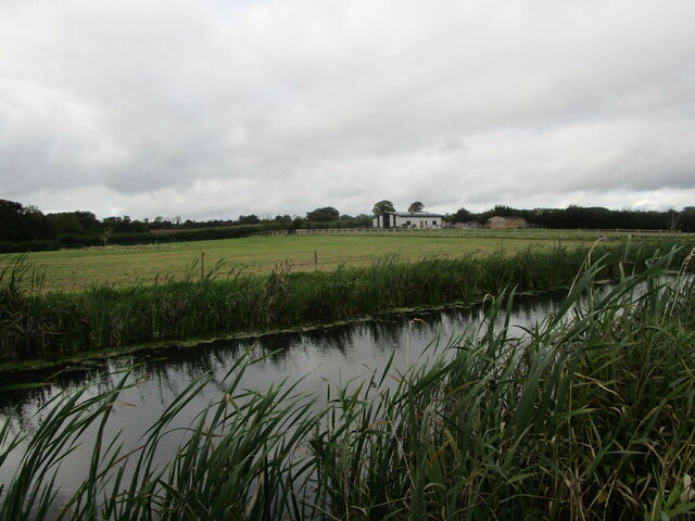
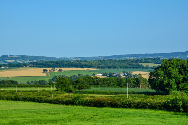
Huntlandhill Copse is a picturesque woodland located in the county of Devon, England. Covering an area of approximately 100 acres, this ancient forest is a haven for nature lovers and those seeking tranquility amidst the lush greenery. The copse is situated on the eastern slopes of Huntland Hill, which provides stunning panoramic views of the surrounding countryside.
The woodland is primarily composed of native broadleaf trees such as oak, beech, and ash, creating a diverse and rich ecosystem. These trees form a dense canopy, allowing only dappled sunlight to filter through to the forest floor. This, in turn, creates ideal conditions for a variety of plant species to thrive, including bluebells, wild garlic, and foxgloves, which carpet the ground in vibrant hues during the spring and summer months.
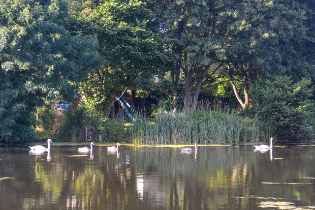
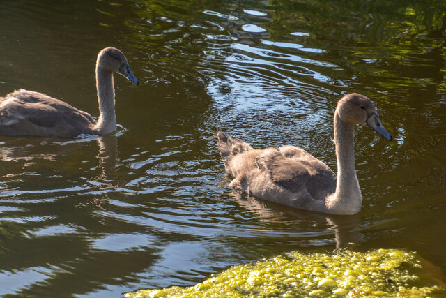
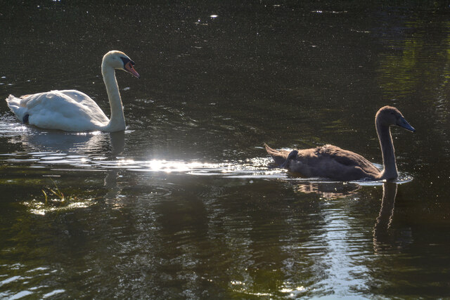
Huntlandhill Copse is home to a wide range of wildlife, making it a popular spot for birdwatching and animal sightings. Species such as woodpeckers, owls, and buzzards can be heard and seen throughout the year. The copse also provides a habitat for small mammals like squirrels, rabbits, and badgers, as well as a variety of insects and butterflies.
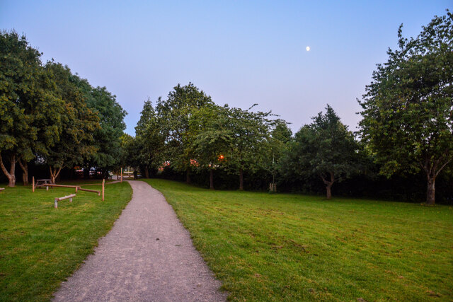
Visitors to Huntlandhill Copse can explore its many footpaths and trails, which wind through the woodland, offering a chance to immerse oneself in the beauty of nature. The copse is managed by local conservation organizations, ensuring the preservation of its natural features and the protection of its inhabitants.
Overall, Huntlandhill Copse is a captivating woodland, offering a peaceful retreat for those seeking solace in nature's embrace. With its diverse flora and fauna, it serves as a testament to the natural beauty of Devon's countryside.
If you have any feedback on the listing, please let us know in the comments section below.
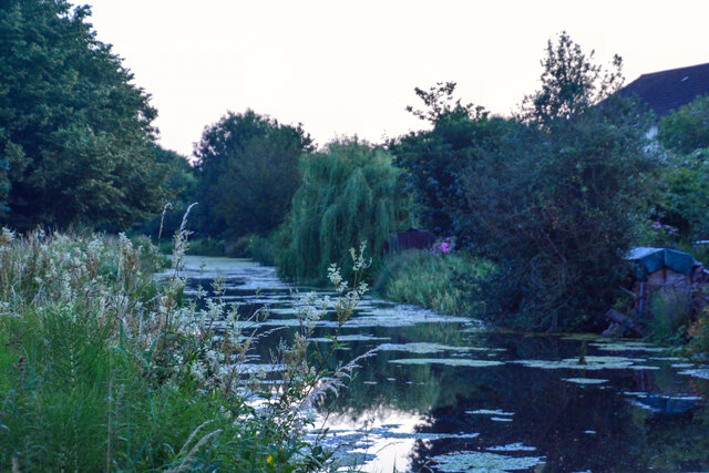
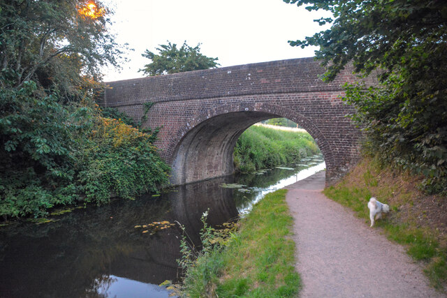
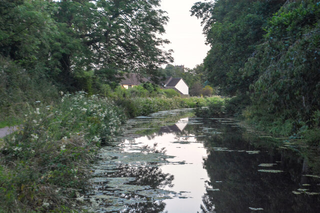
Huntlandhill Copse Images
Images are sourced within 2km of 50.934262/-3.3619498 or Grid Reference ST0415. Thanks to Geograph Open Source API. All images are credited.


Huntlandhill Copse is located at Grid Ref: ST0415 (Lat: 50.934262, Lng: -3.3619498)
Administrative County: Devon
District: Mid Devon
Police Authority: Devon and Cornwall
What 3 Words
///usages.paramedic.hostels. Near Sampford Peverell, Devon
Nearby Locations
Related Wikis

Holbrook Garden
Holbrook Garden is a one hectare garden outside Sampford Peverell, Tiverton, Devon, with experimental naturalistic plantings creating differing habitats...

Ayshford Chapel
Ayshford Chapel is a former private chapel in the village of Ayshford, in the parish of Burlescombe, Devon, England. It is recorded in the National Heritage...

Ayshford
Ayshford is a hamlet and historic manor in the parish of Burlescombe in the district of Mid-Devon, Devon, England. It was anciently the seat of the de...

Tiverton Parkway railway station
Tiverton Parkway railway station is on the Bristol to Exeter line in Devon, England. Despite being named after the town of Tiverton it is actually located...

Sampford Peverell
Sampford Peverell is a village and civil parish in Mid-Devon, England. An old Saxon settlement, it was called Sanforda in the 1086 Doomsday Book. Its current...

Uplowman
Uplowman () is a village and civil parish in the Mid Devon district, in Devon, England, situated about 4 miles north-east of the town of Tiverton. The...

Appledore, Mid Devon
Appledore is a small village near Uffculme in Devon, England, about 7 miles (11 kilometres) east of Tiverton.Appledore was listed in the Domesday Book...

Canonsleigh Abbey
Canonsleigh Abbey was an Augustinian priory in the parish of Burlescombe, Devon. == History == It was founded in about 1170 by Walter de Claville, lord...
Nearby Amenities
Located within 500m of 50.934262,-3.3619498Have you been to Huntlandhill Copse?
Leave your review of Huntlandhill Copse below (or comments, questions and feedback).