Ewanrigg Hall Wood

Wood, Forest in Cumberland Allerdale

England

Ewanrigg Hall Wood

Maryport Harbour in 1989 Two of the historic ships connected with the Maryport Maritime Museum at that time at berth
Maryport Harbour in 1989 Credit: Kevin Waterhouse

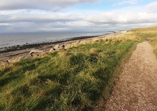
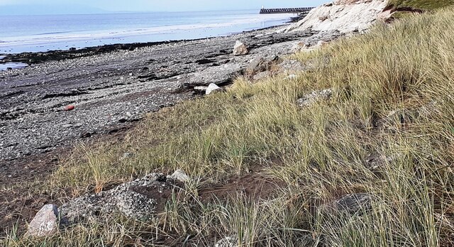
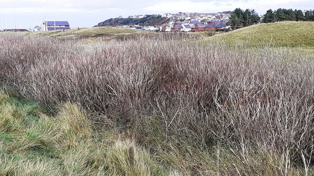
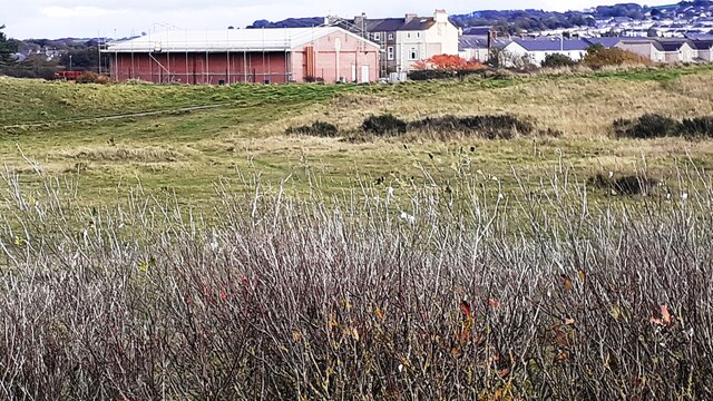
Ewanrigg Hall Wood is a picturesque woodland located in the county of Cumberland in northwest England. Covering an area of approximately 250 acres, it is a beautiful natural landscape that offers a peaceful retreat for visitors. The wood is situated near the town of Maryport, just a short distance from the coastline of the Irish Sea.

The woodland is predominantly made up of a mix of deciduous and coniferous trees, including oak, birch, beech, and pine. This diverse range of trees creates a rich and vibrant habitat for a variety of wildlife. Visitors to Ewanrigg Hall Wood can expect to see a range of bird species, such as woodpeckers, nuthatches, and warblers, as well as mammals like red squirrels, foxes, and deer.

The wood is crisscrossed by a network of enchanting walking trails, allowing visitors to explore its natural beauty at their own pace. These paths wind through the trees, leading to secluded spots and hidden clearings that offer stunning views of the surrounding countryside. The wood is also home to a small lake, providing a tranquil spot for picnicking or simply enjoying the peaceful ambiance.

Ewanrigg Hall Wood is managed by the Woodland Trust, a conservation charity that aims to protect and restore native woodlands across the United Kingdom. The trust works to maintain the wood's natural biodiversity and ensure its future sustainability.

Overall, Ewanrigg Hall Wood is a hidden gem in the heart of Cumberland, offering a haven of tranquility and natural beauty for visitors to enjoy.

If you have any feedback on the listing, please let us know in the comments section below.

Ewanrigg Hall Wood Images

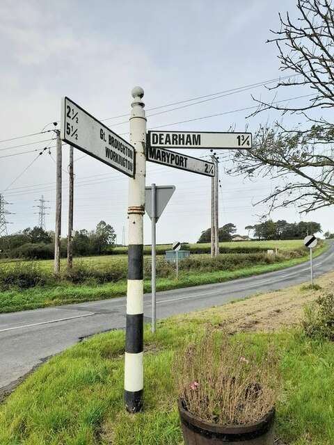
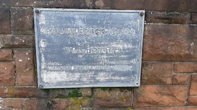
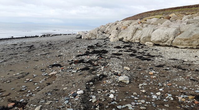
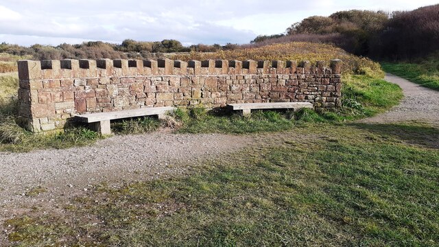
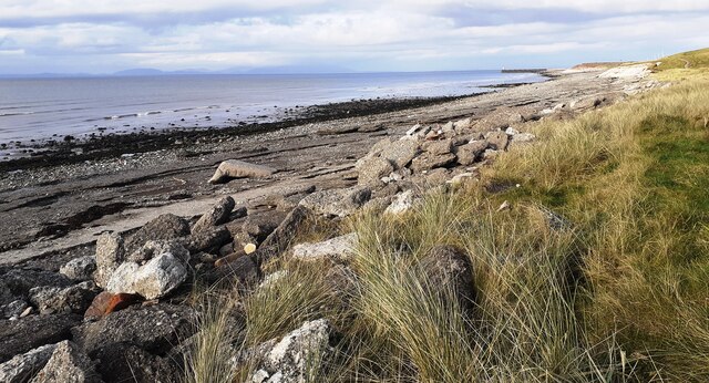
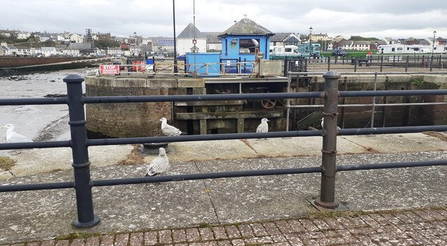
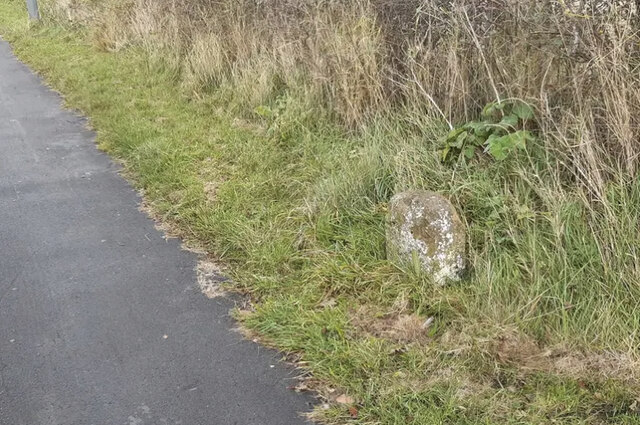
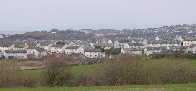
Images are sourced within 2km of 54.702953/-3.4850914 or Grid Reference NY0435. Thanks to Geograph Open Source API. All images are credited.

Maryport Harbour in 1989 Two of the historic ships connected with the Maryport Maritime Museum at that time at berth
Maryport Harbour in 1989
Two of the historic ships connected with the Maryport Maritime Museum at that time at berth
Old Milestone by the A596, north east of Maryport Stone post by the A596 (Metal plate missing), in parish of MARYPORT (ALLERDALE District), Netherhall, South of B5300 junction, in wall and tarmac; opposite LPE289, on West side of road. Wigton curved red stone, erected by the Cockermouth & Maryport turnpike trust in the 19th century. 

Inscription once read:-
(WORKINGTON)
(7)
(WIGTON)
(16)
Carved benchmark on top.

Milestone Society National ID: CU_WGWO16
Old Milestone by the A596, north east of Maryport
Stone post by the A596 (Metal plate missing), in parish of MARYPORT (ALLERDALE District), Netherhall, South of B5300 junction, in wall and tarmac; opposite LPE289, on West side of road. Wigton curved red stone, erected by the Cockermouth & Maryport turnpike trust in the 19th century. Inscription once read:- (WORKINGTON) (7) (WIGTON) (16) Carved benchmark on top. Milestone Society National ID: CU_WGWO16
Direction Sign – Signpost on Church Road, Broughton Moor Located on the north side of the junction on Church Road at the north end of Broughton Moor. Great Broughton parish. 3 arms and pawn finial.

Milestone Society National ID: CU_NY0533
Direction Sign – Signpost on Church Road, Broughton Moor
Located on the north side of the junction on Church Road at the north end of Broughton Moor. Great Broughton parish. 3 arms and pawn finial. Milestone Society National ID: CU_NY0533
Old Milestone by A594, Netherhall corner The Milestone is located inset into an old stone wall on the North of the road.  Parish of Maryport (Allerdale District). Stone post (plate lost), Carlisle red stone & curved plate design, erected by the Cockermouth & Maryport turnpike trust in the 19th Century.  

Inscription reads:-   
(COCKERMOUTH / COURT-HOUSE / 7 MILES / MARYPORT / MARKET-PLACE / ¼ MILES)  

Milestone Society National ID: CU_CMMP07
Old Milestone by A594, Netherhall corner
The Milestone is located inset into an old stone wall on the North of the road.  Parish of Maryport (Allerdale District). Stone post (plate lost), Carlisle red stone & curved plate design, erected by the Cockermouth & Maryport turnpike trust in the 19th Century.   Inscription reads:- (COCKERMOUTH / COURT-HOUSE / 7 MILES / MARYPORT / MARKET-PLACE / ¼ MILES) Milestone Society National ID: CU_CMMP07
Shops and flats on Curzon Street (A596) at Station Street junction
Plaque on SW parapet of Bridge CBC2/54 Plaque with Milestone Society National ID: CU_MARYP01br  on bridge over Cumbrian Coast line
Plaque on SW parapet of Bridge CBC2/54
Plaque with Milestone Society National ID: CU_MARYP01br on bridge over Cumbrian Coast line
Footpath through woodland towards coast
NE parapet of bridge taking Hutton Place over Cumbrian Coast railway Beside the bridge is a poster which advertises the nearby Green Glasson Business Park
NE parapet of bridge taking Hutton Place over Cumbrian Coast railway
Beside the bridge is a poster which advertises the nearby Green Glasson Business Park
Coastal path heading north
Beach of Solway Firth at Maryport
View towards Maryport from coastal path
Looking towards the town from the coast path at Maryport
Shore and rocks beside Solway Firth
Looking south along coast path and wall
Seats at circular wall at junction of paths near coast
Solway Firth coast south of Maryport
Gulls on dockside
Gulls on dockside
Old Milestone by the A596, Risehow, Maryport Parish Wigton curved red stone by the A596, in parish of Maryport (Allerdale District), Risehow, on grass verge.

Inscription once read:- : (Wigton 18 / Workington 5) : 

Surveyed

Milestone Society National ID: CU_WGWO18
Old Milestone by the A596, Risehow, Maryport Parish
Wigton curved red stone by the A596, in parish of Maryport (Allerdale District), Risehow, on grass verge. Inscription once read:- : (Wigton 18 / Workington 5) : Surveyed Milestone Society National ID: CU_WGWO18
Show me another place!

Ewanrigg Hall Wood is located at Grid Ref: NY0435 (Lat: 54.702953, Lng: -3.4850914)

Administrative County: Cumbria

District: Allerdale

Police Authority: Cumbria

What 3 Words

///arranger.trespass.clumped. Near Maryport, Cumbria

Related Wikis

Ewanrigg

Ewanrigg is a suburb of the town of Maryport, Cumbria, England, historically within Cumberland. Ewanrigg is a residential area and has a post office, a...

Ellenborough, Cumbria

Ellenborough is a suburb of the town of Maryport, Cumbria, England, historically within Cumberland. It takes its name from the nearby River Ellen. The...

Maryport railway station

Maryport railway station is a railway station serving the coastal town of Maryport in Cumbria, England. It is on the Cumbrian Coast Line, which runs between...

Maryport

Maryport is a town and civil parish in Cumbria, England. The town is situated just outside the Lake District National Park, at the northern end of the...

Nearby Amenities

Located within 500m of 54.702953,-3.4850914
Ewanrigg
Created By: Potlatch 0.10f
Is In: Maryport
Place: suburb
Lat/Long: 54.7046557/-3.4893371
Bus Stop
The Arches (E bound)
Bench: no
Bus: yes
Covered: no
Local Ref: AT
Naptan AtcoCode: 090002430353
Naptan Bearing: E
Naptan CommonName: The Arches (E bound)
Naptan Indicator: at
Naptan Landmark: Junction to the Arches
Naptan NaptanCode: cumagdpm
Naptan Street: Ewanrigg Road
Naptan Verified: no
Public Transport: platform
Shelter: no
Source: naptan_import
Lat/Long: 54.7055558/-3.4909724
Bus Stop
Ewanrigg Rd at Ennerdale Road
Bench: no
Bus: yes
Covered: yes
Local Ref: AT
Naptan AtcoCode: 090002430356
Naptan Bearing: E
Naptan CommonName: Ewanrigg Rd at Ennerdale Road
Naptan Indicator: at
Naptan Landmark: Ennerdale Road Junction
Naptan NaptanCode: cumagdpt
Naptan Street: Ewanrigg Road
Naptan Verified: no
Public Transport: platform
Shelter: yes
Source: naptan_import
Lat/Long: 54.7063368/-3.4851961
Bus Stop
Ewanrigg Rd Top of Ennerdale Road
Bench: no
Bus: yes
Covered: no
Naptan AtcoCode: 090002430357
Naptan Bearing: W
Naptan CommonName: Ewanrigg Rd Top of Ennerdale Road
Naptan Indicator: near
Naptan Landmark: Ennerdale Road Junction
Naptan NaptanCode: cumagdpw
Naptan Street: Ewanrigg Road
Naptan Verified: no
Public Transport: platform
Shelter: no
Source: naptan_import
Lat/Long: 54.7062294/-3.4851611
Bus Stop
Ellenfoot Drive at Ewanrigg Brow (W bound)
Bench: no
Bus: yes
Covered: no
Naptan AtcoCode: 090002433017
Naptan Bearing: SW
Naptan CommonName: Ellenfoot Drive at Ewanrigg Brow (W bound)
Naptan Indicator: near
Naptan Landmark: junction with Ewanrigg Brow
Naptan NaptanCode: cumagjgm
Naptan Street: Ellenfoot Drive
Naptan Verified: no
Public Transport: platform
Shelter: no
Source: naptan_import
Lat/Long: 54.7060939/-3.4815397
Bus Stop
Ellanfoot Drive at Ewanrigg Brow (E bound)
Bus: yes
Naptan AtcoCode: 090002434440
Naptan Bearing: E
Naptan BusStopType: CUS
Naptan CommonName: Ellanfoot Drive at Ewanrigg Brow (E bound)
Naptan Indicator: near
Naptan Landmark: junction with Ewanrigg Brow
Naptan NaptanCode: cumdtjtw
Naptan Notes: to make pair
Naptan Street: Crerar Close
Naptan Verified: no
Public Transport: platform
Source: naptan_import
Lat/Long: 54.7062381/-3.4815139
The Arches (W bound)
Naptan AtcoCode: 090002434446
Naptan Bearing: W
Naptan BusStopType: CUS
Naptan CommonName: The Arches (W bound)
Naptan Indicator: opp
Naptan Landmark: junction with the Arches
Naptan NaptanCode: cumdtjwp
Naptan Notes: to make pair
Naptan Street: Ewanrigg Road
Naptan Verified: no
Source: naptan_import
Lat/Long: 54.7054639/-3.4911397
Mini Roundabout
Direction: clockwise
Source: Bing
Lat/Long: 54.7052347/-3.4902782
Mini Roundabout
Direction: clockwise
Source: Bing
Lat/Long: 54.7055766/-3.4912392
Mini Roundabout
Direction: clockwise
Source: Bing
Lat/Long: 54.7050115/-3.4881753
Turning Circle
Lat/Long: 54.7054259/-3.4892857
Bench
Lat/Long: 54.7057864/-3.4827994
Bench
Lat/Long: 54.7056872/-3.482676
Post Box
Operator: Royal Mail
Operator Wikidata: Q638098
Ref: CA15 171
Lat/Long: 54.7064585/-3.4847034
Post Box
Operator: Royal Mail
Operator Wikidata: Q638098
Ref: CA15 109
Lat/Long: 54.7055274/-3.4909233
Generator Method: photovoltaic
Generator Orientation: south_west
Generator Output Electricity: yes
Generator Solar Modules: 15
Generator Source: solar
Generator Type: solar_photovoltaic_panel
Location: roof
Power: generator
Lat/Long: 54.7032835/-3.487389
Generator Method: photovoltaic
Generator Orientation: south_east
Generator Output Electricity: yes
Generator Solar Modules: 36
Generator Source: solar
Generator Type: solar_photovoltaic_panel
Location: roof
Power: generator
Lat/Long: 54.7053835/-3.4913011
Generator Method: photovoltaic
Generator Orientation: south
Generator Output Electricity: yes
Generator Solar Modules: 28
Generator Source: solar
Generator Type: solar_photovoltaic_panel
Location: roof
Power: generator
Lat/Long: 54.7054665/-3.4829826
Give Way
Direction: forward
Lat/Long: 54.7074145/-3.485287
Power: pole
Lat/Long: 54.7030025/-3.4925528
Power: pole
Lat/Long: 54.702643/-3.49123
Power: pole
Lat/Long: 54.7022501/-3.489777
Power: pole
Lat/Long: 54.7017987/-3.4888799
Power: pole
Lat/Long: 54.7012731/-3.4878072
Power: pole
Lat/Long: 54.7008121/-3.4868916
Power: pole
Lat/Long: 54.7003021/-3.4857548
Power: pole
Lat/Long: 54.6999211/-3.484835
Power: pole
Lat/Long: 54.6994135/-3.4836796
Power: pole
Lat/Long: 54.6988187/-3.4830286
Power: pole
Lat/Long: 54.7017103/-3.4901263
Power: pole
Lat/Long: 54.7008289/-3.4850376
Power: pole
Lat/Long: 54.7014427/-3.4841695
Power: pole
Lat/Long: 54.7020041/-3.4814784
Power: pole
Lat/Long: 54.7022859/-3.4801101
The data included in this document is from www.openstreetmap.org. The data is made available under ODbL.

Have you been to Ewanrigg Hall Wood?

Leave your review of Ewanrigg Hall Wood below (or comments, questions and feedback).