Rockshill Copse
Wood, Forest in Somerset Somerset West and Taunton
England
Rockshill Copse
Rockshill Copse is a charming woodland located in Somerset, England. Covering an area of approximately 50 acres, it is nestled in the picturesque countryside, providing a tranquil retreat for nature enthusiasts and locals alike. The copse is situated near the small village of Rockshill, lending its name to this beautiful natural landmark.
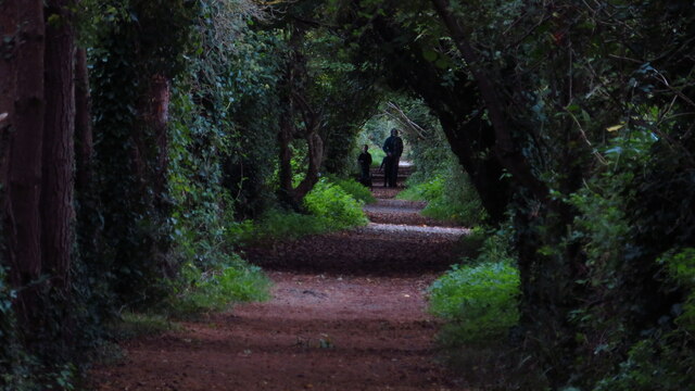
This woodland is characterized by its diverse range of tree species, including oak, beech, and birch. The dense canopy of these majestic trees provides a cool and shaded environment, perfect for walking, hiking, and birdwatching. The forest floor is covered with a lush carpet of moss, ferns, and wildflowers, adding to the enchanting atmosphere.
Rockshill Copse is also home to a variety of wildlife. Nature lovers can spot numerous bird species, such as woodpeckers, owls, and songbirds, while lucky visitors may even catch a glimpse of deer or foxes. The copse is a haven for biodiversity, supporting a wide range of flora and fauna.
The woodland is crisscrossed by a network of well-maintained footpaths, allowing visitors to explore its beauty at their own pace. These paths wind through the trees, revealing hidden glades and clearings, and offer stunning vistas of the surrounding countryside.
Rockshill Copse is a popular destination for outdoor enthusiasts, offering a peaceful and serene escape from the bustle of everyday life. Whether you are seeking a leisurely stroll, a picnic spot, or a place to reconnect with nature, this woodland is sure to captivate and inspire.
If you have any feedback on the listing, please let us know in the comments section below.
Rockshill Copse Images
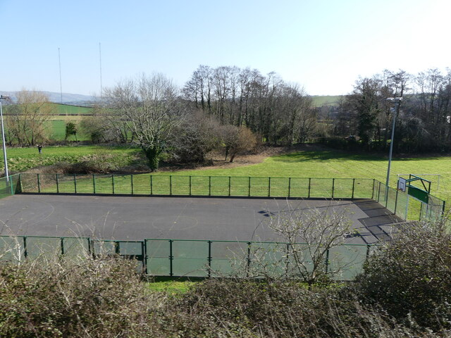
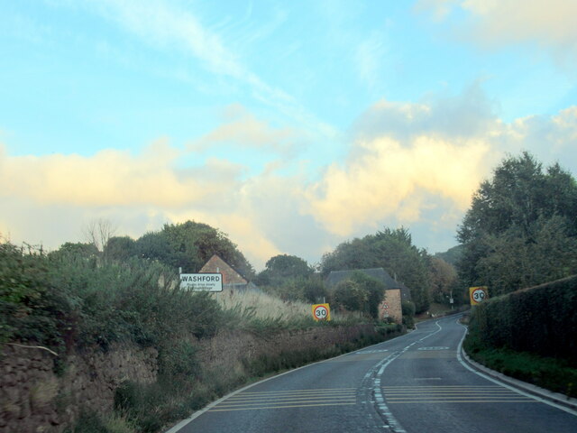
Images are sourced within 2km of 51.170269/-3.3686777 or Grid Reference ST0442. Thanks to Geograph Open Source API. All images are credited.


Rockshill Copse is located at Grid Ref: ST0442 (Lat: 51.170269, Lng: -3.3686777)
Administrative County: Somerset
District: Somerset West and Taunton
Police Authority: Avon and Somerset
What 3 Words
///iteration.grumbling.shapes. Near Watchet, Somerset
Nearby Locations
Related Wikis
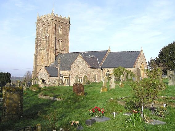
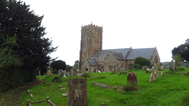
Old Cleeve
Old Cleeve is a village 5 miles (8 km) south east of Minehead in the Somerset West and Taunton district of Somerset, England, and also a civil parish....

Washford railway station
Washford railway station is a station on the West Somerset Railway, a heritage railway in England. The station is situated in the village of Washford...

Washford
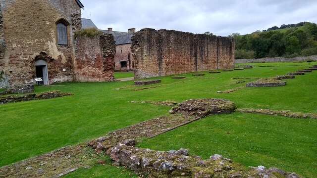
Washford is a village on the Washford River in the civil parish of Old Cleeve, Somerset, England. The village is next to Cleeve Abbey, one of the best...

Washford (WSMR) railway station
Washford was an intermediate station on the West Somerset Mineral Railway (WSMR), which was built primarily to carry iron ore from mines to Watchet harbour...
Nearby Amenities
Located within 500m of 51.170269,-3.3686777Have you been to Rockshill Copse?
Leave your review of Rockshill Copse below (or comments, questions and feedback).