Ellenborough
Settlement in Cumberland Allerdale
England
Ellenborough

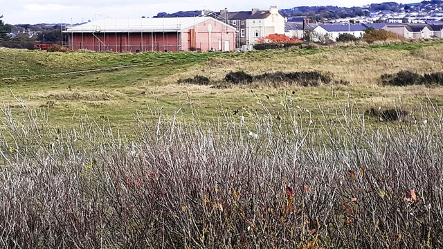
Ellenborough is a small village located in the county of Cumberland, in the northwest part of England. Situated along the banks of the River Ellen, the village is surrounded by picturesque countryside and offers a tranquil and idyllic setting.
Historically, Ellenborough was a thriving mining community, with coal mining being the primary industry in the area. However, the decline of the mining industry in the late 20th century led to a shift in the village's economic focus. Today, Ellenborough is primarily a residential area, with many of its residents commuting to nearby towns and cities for work.
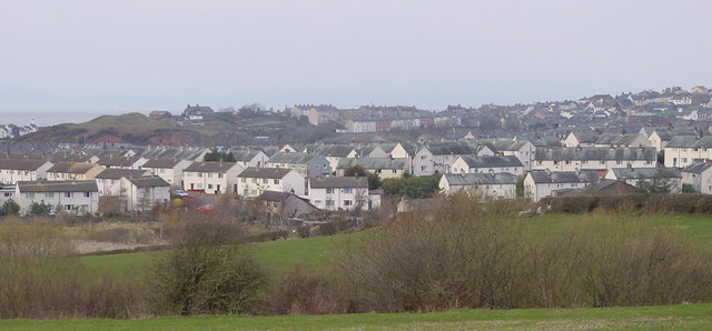
The village itself is characterized by its quaint and charming architecture, with a mix of traditional stone cottages and more modern houses. The local community is tight-knit and friendly, with a strong sense of pride in their village and its heritage.
Ellenborough is well-served by amenities, including a primary school, a village hall, and a local pub. The village also benefits from its proximity to the larger towns of Maryport and Workington, which offer a wider range of services, such as supermarkets, shops, and leisure facilities.
For outdoor enthusiasts, Ellenborough is a perfect base for exploring the stunning natural beauty of the surrounding area. The nearby Lake District National Park, with its breathtaking landscapes and numerous hiking trails, is a popular destination for locals and visitors alike.
In conclusion, Ellenborough is a charming village in Cumberland, offering a peaceful and close-knit community, as well as easy access to the beautiful countryside of the Lake District.
If you have any feedback on the listing, please let us know in the comments section below.
Ellenborough Images
Images are sourced within 2km of 54.709497/-3.483015 or Grid Reference NY0435. Thanks to Geograph Open Source API. All images are credited.


Ellenborough is located at Grid Ref: NY0435 (Lat: 54.709497, Lng: -3.483015)
Administrative County: Cumbria
District: Allerdale
Police Authority: Cumbria
What 3 Words
///case.mango.instance. Near Maryport, Cumbria
Nearby Locations
Related Wikis

Ellenborough, Cumbria
Ellenborough is a suburb of the town of Maryport, Cumbria, England, historically within Cumberland. It takes its name from the nearby River Ellen. The...
Ewanrigg
Ewanrigg is a suburb of the town of Maryport, Cumbria, England, historically within Cumberland. Ewanrigg is a residential area and has a post office, a...

Maryport
Maryport is a town and civil parish in Cumbria, England. The town is situated just outside the Lake District National Park, at the northern end of the...

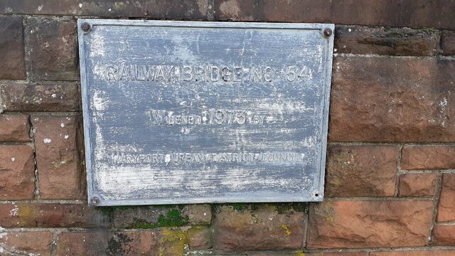
Maryport railway station
Maryport railway station is a railway station serving the coastal town of Maryport in Cumbria, England. It is on the Cumbrian Coast Line, which runs between...
Nearby Amenities
Located within 500m of 54.709497,-3.483015Have you been to Ellenborough?
Leave your review of Ellenborough below (or comments, questions and feedback).