Ewanrigg

Settlement in Cumberland Allerdale

England

Ewanrigg

A596 leaving Flimby
A596 leaving Flimby Credit: Colin Pyle

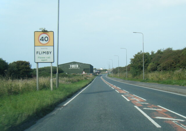
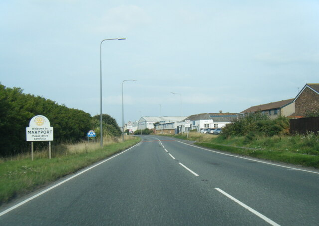
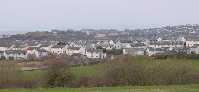
Ewanrigg is a small village located in the county of Cumberland, in the northwest of England. Situated just outside the town of Maryport, Ewanrigg is nestled in the picturesque countryside, offering beautiful views of the surrounding landscape.

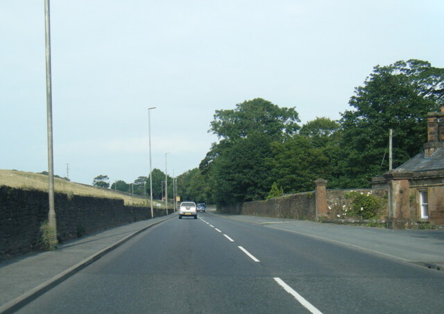
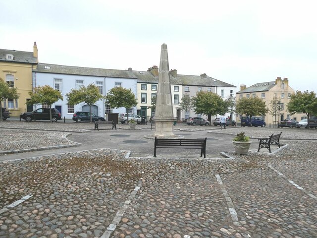
The village is characterized by its charming and traditional English architecture, with many stone-built houses and cottages lining its streets. Ewanrigg is known for its tight-knit community, where residents are friendly and welcoming. The village has a peaceful and tranquil atmosphere, making it an ideal place for those seeking a quiet and serene lifestyle.

While Ewanrigg is a small village, it offers a range of amenities and services to its residents. There is a local primary school, providing education for young children in the area. Additionally, the village has a pub, a post office, and a convenience store, ensuring that essential needs are met within the community.

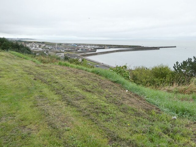
One of the notable features of Ewanrigg is its proximity to the coast. The village is just a short distance away from the Irish Sea, allowing residents to enjoy the beauty of the coastline and take advantage of outdoor activities such as beach walks and water sports.

Ewanrigg is also surrounded by natural beauty, with the Lake District National Park nearby. This provides opportunities for hiking, cycling, and exploring the stunning countryside that Cumbria is renowned for.

Overall, Ewanrigg is a charming and idyllic village, offering a peaceful lifestyle and close access to both the coast and the countryside.

If you have any feedback on the listing, please let us know in the comments section below.
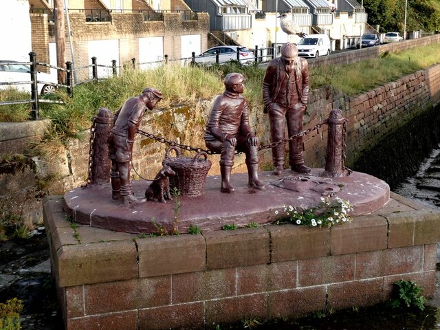
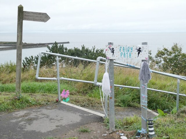
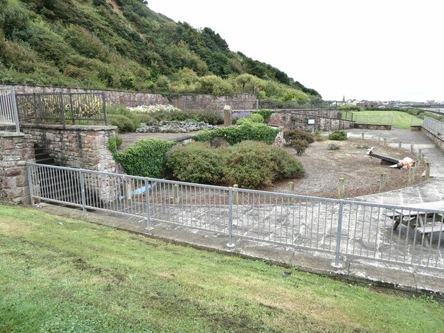
Ewanrigg Images

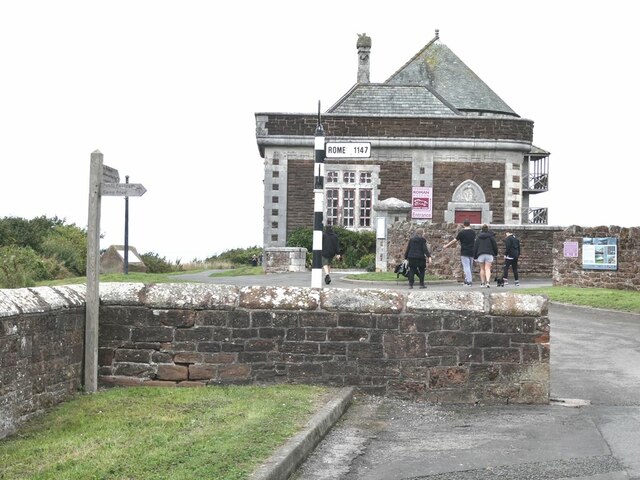
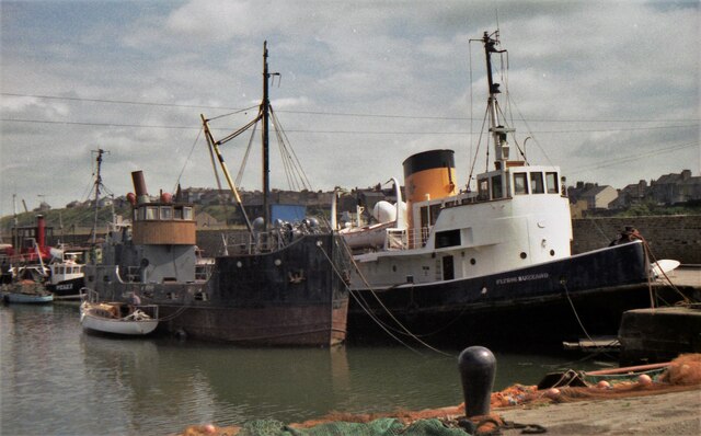
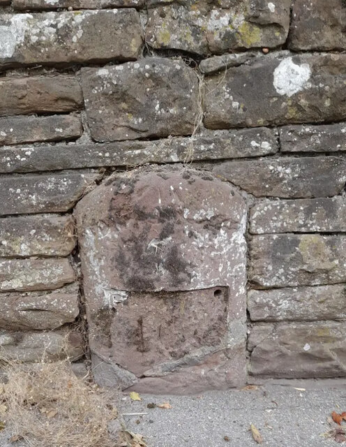
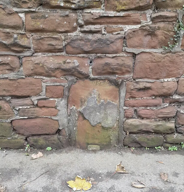
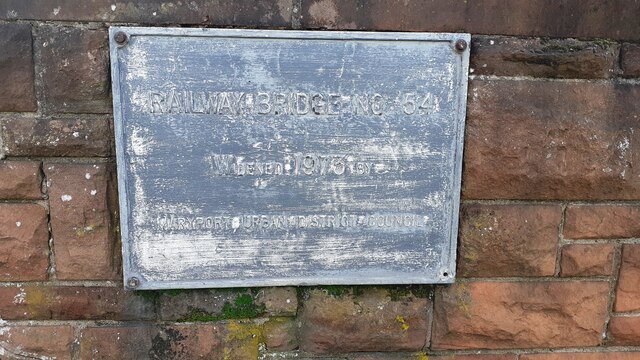
Images are sourced within 2km of 54.704461/-3.490592 or Grid Reference NY0435. Thanks to Geograph Open Source API. All images are credited.

A596 leaving Flimby
A596 leaving Flimby
A596 at Maryport boundary
A596 at Netherhall
A596 at Netherhall
Fleming Square Elegant 18th Century housing in Maryport.
Fleming Square
Elegant 18th Century housing in Maryport.
"A fishy tale" Sculpture made of haematite on the harbour wall. One of the figures is suffering the common fate of seaside sculptures - a seagull taking a rest on his head!
"A fishy tale"
Sculpture made of haematite on the harbour wall. One of the figures is suffering the common fate of seaside sculptures - a seagull taking a rest on his head!
Maryport Maritime Museum Senhouse Street climbs steeply up to the town centre.
Maryport Maritime Museum
Senhouse Street climbs steeply up to the town centre.
Top of the Fairy Path Leading from the Upper to the Lower Promenade.
Top of the Fairy Path
Leading from the Upper to the Lower Promenade.
View from the upper Promenade A good view of Maryport Harbour.
View from the upper Promenade
A good view of Maryport Harbour.
Sea Brow Gardens An attractive public garden set into the cliff face above the lower Promenade. The garden is an excellent exhibit of plants that thrive in coastal locations.
Sea Brow Gardens
An attractive public garden set into the cliff face above the lower Promenade. The garden is an excellent exhibit of plants that thrive in coastal locations.
Senhouse Museum Housing a collection of Roman remains found nearby, including a large selection of Roman altars. Note the signpost!
Senhouse Museum
Housing a collection of Roman remains found nearby, including a large selection of Roman altars. Note the signpost!
Selection of Roman altars Display in the Senhouse Museum.
Selection of Roman altars
Display in the Senhouse Museum.
Maryport Harbour in 1989 Two of the historic ships connected with the Maryport Maritime Museum at that time at berth
Maryport Harbour in 1989
Two of the historic ships connected with the Maryport Maritime Museum at that time at berth
Old Milestone by the A596, north east of Maryport Stone post by the A596 (Metal plate missing), in parish of MARYPORT (ALLERDALE District), Netherhall, South of B5300 junction, in wall and tarmac; opposite LPE289, on West side of road. Wigton curved red stone, erected by the Cockermouth & Maryport turnpike trust in the 19th century. 

Inscription once read:-
(WORKINGTON)
(7)
(WIGTON)
(16)
Carved benchmark on top.

Milestone Society National ID: CU_WGWO16
Old Milestone by the A596, north east of Maryport
Stone post by the A596 (Metal plate missing), in parish of MARYPORT (ALLERDALE District), Netherhall, South of B5300 junction, in wall and tarmac; opposite LPE289, on West side of road. Wigton curved red stone, erected by the Cockermouth & Maryport turnpike trust in the 19th century. Inscription once read:- (WORKINGTON) (7) (WIGTON) (16) Carved benchmark on top. Milestone Society National ID: CU_WGWO16
Old Milestone by A594, Netherhall corner The Milestone is located inset into an old stone wall on the North of the road.  Parish of Maryport (Allerdale District). Stone post (plate lost), Carlisle red stone & curved plate design, erected by the Cockermouth & Maryport turnpike trust in the 19th Century.  

Inscription reads:-   
(COCKERMOUTH / COURT-HOUSE / 7 MILES / MARYPORT / MARKET-PLACE / ¼ MILES)  

Milestone Society National ID: CU_CMMP07
Old Milestone by A594, Netherhall corner
The Milestone is located inset into an old stone wall on the North of the road.  Parish of Maryport (Allerdale District). Stone post (plate lost), Carlisle red stone & curved plate design, erected by the Cockermouth & Maryport turnpike trust in the 19th Century.   Inscription reads:- (COCKERMOUTH / COURT-HOUSE / 7 MILES / MARYPORT / MARKET-PLACE / ¼ MILES) Milestone Society National ID: CU_CMMP07
Shops and flats on Curzon Street (A596) at Station Street junction
Plaque on SW parapet of Bridge CBC2/54 Plaque with Milestone Society National ID: CU_MARYP01br  on bridge over Cumbrian Coast line
Plaque on SW parapet of Bridge CBC2/54
Plaque with Milestone Society National ID: CU_MARYP01br on bridge over Cumbrian Coast line
Footpath through woodland towards coast
NE parapet of bridge taking Hutton Place over Cumbrian Coast railway Beside the bridge is a poster which advertises the nearby Green Glasson Business Park
NE parapet of bridge taking Hutton Place over Cumbrian Coast railway
Beside the bridge is a poster which advertises the nearby Green Glasson Business Park
Show me another place!

Ewanrigg is located at Grid Ref: NY0435 (Lat: 54.704461, Lng: -3.490592)

Administrative County: Cumbria

District: Allerdale

Police Authority: Cumbria

What 3 Words

///prop.betraying.noun. Near Maryport, Cumbria

Related Wikis

Ewanrigg

Ewanrigg is a suburb of the town of Maryport, Cumbria, England, historically within Cumberland. Ewanrigg is a residential area and has a post office, a...

Ellenborough, Cumbria

Ellenborough is a suburb of the town of Maryport, Cumbria, England, historically within Cumberland. It takes its name from the nearby River Ellen. The...

Maryport railway station

Maryport railway station is a railway station serving the coastal town of Maryport in Cumbria, England. It is on the Cumbrian Coast Line, which runs between...

Maryport

Maryport is a town and civil parish in Cumbria, England. The town is situated just outside the Lake District National Park, at the northern end of the...

Nearby Amenities

Located within 500m of 54.704461,-3.490592
Ewanrigg
Created By: Potlatch 0.10f
Is In: Maryport
Place: suburb
Lat/Long: 54.7046557/-3.4893371
Bus Stop
Cottage Hospital
Bus: yes
Naptan AtcoCode: 090002430352
Naptan Bearing: E
Naptan CommonName: Cottage Hospital
Naptan Indicator: o/s
Naptan Landmark: Victoria Cottage Hospital
Naptan NaptanCode: cumagdpj
Naptan Street: Ewanrigg Road
Naptan Verified: no
Public Transport: platform
Source: naptan_import
Lat/Long: 54.7067237/-3.4947206
Bus Stop
The Arches (E bound)
Bench: no
Bus: yes
Covered: no
Local Ref: AT
Naptan AtcoCode: 090002430353
Naptan Bearing: E
Naptan CommonName: The Arches (E bound)
Naptan Indicator: at
Naptan Landmark: Junction to the Arches
Naptan NaptanCode: cumagdpm
Naptan Street: Ewanrigg Road
Naptan Verified: no
Public Transport: platform
Shelter: no
Source: naptan_import
Lat/Long: 54.7055558/-3.4909724
Bus Stop
Ewanrigg Rd at Ennerdale Road
Bench: no
Bus: yes
Covered: yes
Local Ref: AT
Naptan AtcoCode: 090002430356
Naptan Bearing: E
Naptan CommonName: Ewanrigg Rd at Ennerdale Road
Naptan Indicator: at
Naptan Landmark: Ennerdale Road Junction
Naptan NaptanCode: cumagdpt
Naptan Street: Ewanrigg Road
Naptan Verified: no
Public Transport: platform
Shelter: yes
Source: naptan_import
Lat/Long: 54.7063368/-3.4851961
Bus Stop
Ewanrigg Rd Top of Ennerdale Road
Bench: no
Bus: yes
Covered: no
Naptan AtcoCode: 090002430357
Naptan Bearing: W
Naptan CommonName: Ewanrigg Rd Top of Ennerdale Road
Naptan Indicator: near
Naptan Landmark: Ennerdale Road Junction
Naptan NaptanCode: cumagdpw
Naptan Street: Ewanrigg Road
Naptan Verified: no
Public Transport: platform
Shelter: no
Source: naptan_import
Lat/Long: 54.7062294/-3.4851611
Bus Stop
Medical Centre
Bus: yes
Naptan AtcoCode: 090002433012
Naptan Bearing: W
Naptan CommonName: Medical Centre
Naptan Indicator: opp
Naptan Landmark: Victoria Cottage Hospital
Naptan NaptanCode: cumagjdt
Naptan Street: Ewanricc Road
Naptan Verified: no
Public Transport: platform
Source: naptan_import
Lat/Long: 54.7067563/-3.495231
Bus Stop
Top of Grasmere Terrace
Bus: yes
Naptan AtcoCode: 090002433013
Naptan Bearing: N
Naptan CommonName: Top of Grasmere Terrace
Naptan Indicator: near
Naptan Landmark: junction with Ennerdale Road
Naptan NaptanCode: cumagjdw
Naptan Street: Grasmere Terrace
Naptan Verified: no
Public Transport: platform
Source: naptan_import
Lat/Long: 54.7078277/-3.4874857
Bus Stop
Grasmere Terrace at Thirlmere Road
Bus: yes
Naptan AtcoCode: 090002433015
Naptan Bearing: S
Naptan CommonName: Grasmere Terrace at Thirlmere Road
Naptan Indicator: o/s
Naptan Landmark: junction with Thirlmere Road
Naptan NaptanCode: cumagjgd
Naptan Street: Grasmere Terrace
Naptan Verified: no
Public Transport: platform
Source: naptan_import
Lat/Long: 54.7078125/-3.4872523
Bus Stop
Edinburgh Road
Bus: yes
Naptan AtcoCode: 090002433207
Naptan Bearing: E
Naptan CommonName: Edinburgh Road
Naptan Indicator: o/s
Naptan Landmark: no. 47
Naptan NaptanCode: cumagjgt
Naptan Street: Edinburgh Road
Naptan Verified: no
Public Transport: platform
Source: naptan_import
Lat/Long: 54.7045802/-3.4950185
Bus Stop
Edinburgh Road at Queens Drive
Bus: yes
Naptan AtcoCode: 090002433303
Naptan Bearing: W
Naptan CommonName: Edinburgh Road at Queens Drive
Naptan Indicator: opp
Naptan Landmark: junction with Queens Drive
Naptan NaptanCode: cumagjgw
Naptan Street: Edinburgh Road
Naptan Verified: no
Public Transport: platform
Source: naptan_import
Lat/Long: 54.7044267/-3.4950749
The Arches (W bound)
Naptan AtcoCode: 090002434446
Naptan Bearing: W
Naptan BusStopType: CUS
Naptan CommonName: The Arches (W bound)
Naptan Indicator: opp
Naptan Landmark: junction with the Arches
Naptan NaptanCode: cumdtjwp
Naptan Notes: to make pair
Naptan Street: Ewanrigg Road
Naptan Verified: no
Source: naptan_import
Lat/Long: 54.7054639/-3.4911397
Power: tower
Lat/Long: 54.7034719/-3.4952419
Mini Roundabout
Direction: clockwise
Source: Bing
Lat/Long: 54.7052347/-3.4902782
Mini Roundabout
Direction: clockwise
Source: Bing
Lat/Long: 54.7055766/-3.4912392
Mini Roundabout
Direction: clockwise
Source: Bing
Lat/Long: 54.7050115/-3.4881753
Mini Roundabout
Direction: clockwise
Source: Bing
Lat/Long: 54.7066671/-3.4947724
Turning Circle
Lat/Long: 54.7054259/-3.4892857
Turning Circle
Lat/Long: 54.7082525/-3.488229
Turning Circle
Source: Bing
Lat/Long: 54.7073713/-3.4939859
Turning Circle
Source: Bing
Lat/Long: 54.7075706/-3.495766
Turning Circle
Source: Bing
Lat/Long: 54.7078465/-3.4940654
Post Box
Operator: Royal Mail
Operator Wikidata: Q638098
Ref: CA15 171
Lat/Long: 54.7064585/-3.4847034
Post Box
Operator: Royal Mail
Operator Wikidata: Q638098
Ref: CA15 109
Lat/Long: 54.7055274/-3.4909233
Crossing
Crossing: zebra
Lat/Long: 54.7067687/-3.4951304
Barrier: yes
Lat/Long: 54.7071853/-3.4924519
Generator Method: photovoltaic
Generator Orientation: south_west
Generator Output Electricity: yes
Generator Solar Modules: 15
Generator Source: solar
Generator Type: solar_photovoltaic_panel
Location: roof
Power: generator
Lat/Long: 54.7032835/-3.487389
Generator Method: photovoltaic
Generator Orientation: south_east
Generator Output Electricity: yes
Generator Solar Modules: 36
Generator Source: solar
Generator Type: solar_photovoltaic_panel
Location: roof
Power: generator
Lat/Long: 54.7053835/-3.4913011
Give Way
Direction: forward
Lat/Long: 54.7083005/-3.4869132
Give Way
Direction: forward
Lat/Long: 54.707868/-3.4861113
Direction: both
Traffic Calming: cushion
Lat/Long: 54.7079671/-3.4863782
Direction: both
Traffic Calming: cushion
Lat/Long: 54.7085297/-3.4876401
Give Way
Direction: backward
Lat/Long: 54.7086451/-3.4878815
Direction: both
Traffic Calming: cushion
Lat/Long: 54.7086908/-3.4881427
Give Way
Direction: backward
Lat/Long: 54.7082469/-3.4870016
Give Way
Direction: forward
Lat/Long: 54.7074145/-3.485287
Direction: both
Traffic Calming: cushion
Lat/Long: 54.7075395/-3.485595
Power: pole
Lat/Long: 54.7038743/-3.4982926
Power: pole
Lat/Long: 54.7038982/-3.4975754
Power: pole
Lat/Long: 54.7039603/-3.4963911
Power: pole
Lat/Long: 54.7035531/-3.4956325
Power: pole
Lat/Long: 54.7037513/-3.4953845
Power: pole
Lat/Long: 54.7033739/-3.49395
Power: pole
Lat/Long: 54.7030025/-3.4925528
Power: pole
Lat/Long: 54.702643/-3.49123
Power: pole
Lat/Long: 54.7022501/-3.489777
Power: pole
Lat/Long: 54.7017987/-3.4888799
Power: pole
Lat/Long: 54.7012731/-3.4878072
Power: pole
Lat/Long: 54.7008121/-3.4868916
Power: pole
Lat/Long: 54.7017103/-3.4901263
The data included in this document is from www.openstreetmap.org. The data is made available under ODbL.

Have you been to Ewanrigg?

Leave your review of Ewanrigg below (or comments, questions and feedback).