Combe Copse

Wood, Forest in Somerset Somerset West and Taunton

England

Combe Copse

Power line crossing the lane
Power line crossing the lane Credit: Rob Purvis

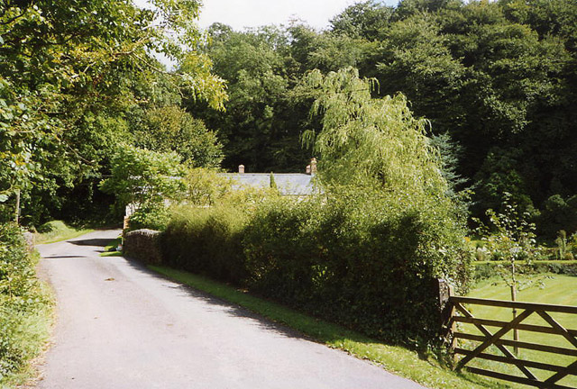
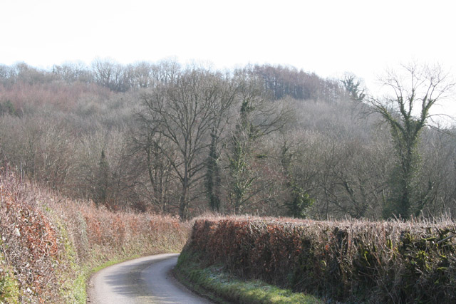
Combe Copse is a picturesque woodland located in Somerset, England. Spanning approximately 100 acres, it is nestled in the rolling hills of the Mendip Hills Area of Outstanding Natural Beauty. The copse is situated just a few miles from the historic town of Wells and is easily accessible by road.

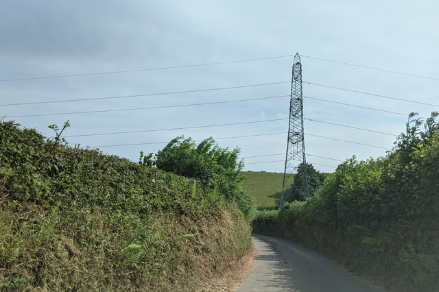
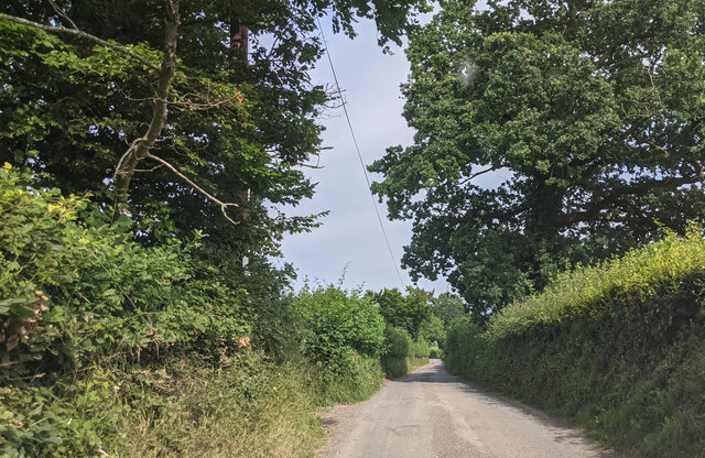
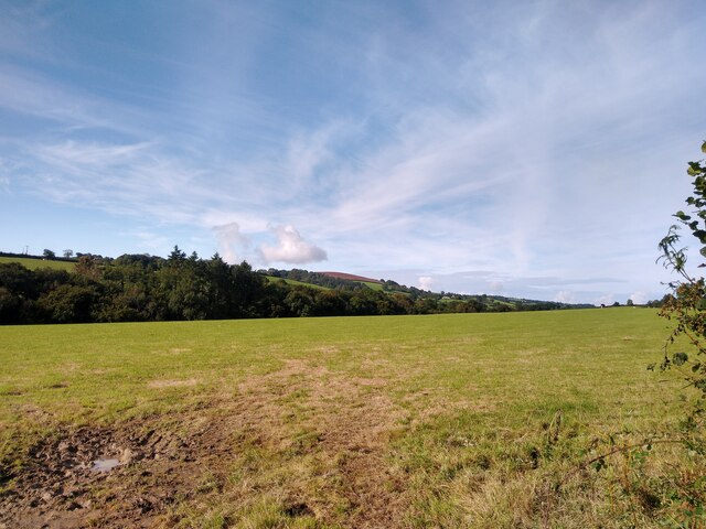
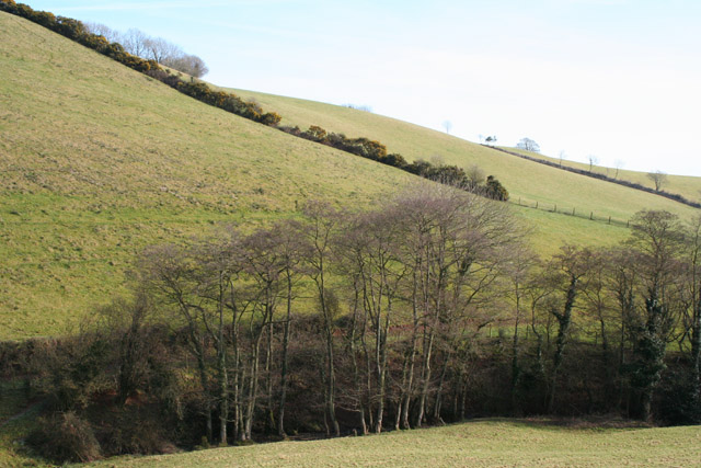
Combe Copse is characterized by its diverse range of tree species, including oak, beech, ash, and hazel. These trees create a dense canopy, providing a shady and tranquil atmosphere for visitors. The woodland floor is covered in a carpet of wildflowers, including bluebells, wood anemones, and primroses, which bloom in vibrant colors during the spring months.

The copse is home to a variety of wildlife, making it a popular spot for nature lovers and wildlife enthusiasts. Visitors may catch a glimpse of roe deer, foxes, badgers, and a wide array of bird species, such as woodpeckers, owls, and warblers.

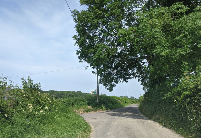
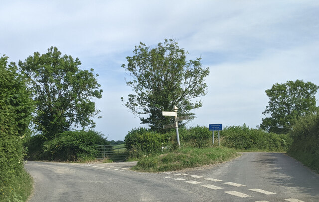
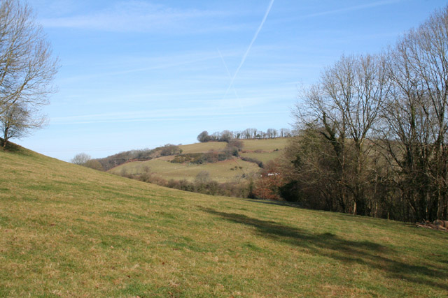
Several walking trails wind through Combe Copse, offering visitors the opportunity to explore its natural beauty. These trails vary in difficulty, catering to both casual strollers and more avid hikers. Along the way, walkers can enjoy scenic views of the surrounding countryside and may even stumble upon a hidden stream or two.

Combe Copse is also a designated Site of Special Scientific Interest (SSSI) due to its rich diversity of plant and animal life. This status ensures the protection and preservation of the copse for future generations to enjoy.

Overall, Combe Copse is a captivating woodland that showcases the beauty of Somerset's natural landscape. Whether visitors are seeking a peaceful retreat or an opportunity to connect with nature, this enchanting copse offers something for everyone.

If you have any feedback on the listing, please let us know in the comments section below.

Combe Copse Images

Images are sourced within 2km of 51.00473/-3.3642979 or Grid Reference ST0423. Thanks to Geograph Open Source API. All images are credited.

Power line crossing the lane
Lane heading east from South Hele Cross
Approaching the turning for Westcott Farm, looking east
Junction at Waldron's Cross, looking east
View from NCN344 near Stawley Mill Photograph taken looking north west from the NCN344 just north of Stawley Mill.
View from NCN344 near Stawley Mill
Photograph taken looking north west from the NCN344 just north of Stawley Mill.
Clayhanger : Helecombe Farm A farm yard and buildings in the countryside.
Clayhanger : Helecombe Farm
A farm yard and buildings in the countryside.
Chipstable: south east to the Wellington Monument Seen from a point a little south west of Champion Cross. The National Grid line runs from Taunton towards South Molton
Chipstable: south east to the Wellington Monument
Seen from a point a little south west of Champion Cross. The National Grid line runs from Taunton towards South Molton
Clayhanger: west to Fleeds Farm Fleeds Farm is perched on a hill to the north of Clayhanger village. Seen from the South Hele Cross - Venn Cross lane
Clayhanger: west to Fleeds Farm
Fleeds Farm is perched on a hill to the north of Clayhanger village. Seen from the South Hele Cross - Venn Cross lane
Bathealton: Hurstone Local Nature Reserve A field in the process of being restored to pasture – part is still an orchard. It is now part of a circular walk of a little under half a mile by the banks of the river Tone and a disused railway. A small car park at the entrance to the reserve is at ST054247, by Pouch Bridge. Managed by Taunton Deane Borough Council
Bathealton: Hurstone Local Nature Reserve
A field in the process of being restored to pasture – part is still an orchard. It is now part of a circular walk of a little under half a mile by the banks of the river Tone and a disused railway. A small car park at the entrance to the reserve is at ST054247, by Pouch Bridge. Managed by Taunton Deane Borough Council
Bathealton: disused railway Track of the Taunton-Barnstaple railway, opened in November 1873 and closed in the 1960s. Looking east in the direction of Bathealton Tunnel, Wiveliscombe and Taunton
Bathealton: disused railway
Track of the Taunton-Barnstaple railway, opened in November 1873 and closed in the 1960s. Looking east in the direction of Bathealton Tunnel, Wiveliscombe and Taunton
Bathealton: road junction The right turn leads to Waterrow; left to Hurstone Local Nature Reserve and the A361 to Shillingford and Bampton
Bathealton: road junction
The right turn leads to Waterrow; left to Hurstone Local Nature Reserve and the A361 to Shillingford and Bampton
Stawley: near Stawley Mill In the Tone valley. Stawley Mill is now a private house. The bridge in the foreground crosses a small tributary of the Tone. The latter runs to the right of the image, beyond the gate and field
Stawley: near Stawley Mill
In the Tone valley. Stawley Mill is now a private house. The bridge in the foreground crosses a small tributary of the Tone. The latter runs to the right of the image, beyond the gate and field
Chipstable: Waterrow A hamlet in the Tone valley with at least two active watermills in the 19th century. Now probably best known for the Rock Inn by the A361 Taunton-Bampton road. Looking north west from the bridge over the Tone
Chipstable: Waterrow
A hamlet in the Tone valley with at least two active watermills in the 19th century. Now probably best known for the Rock Inn by the A361 Taunton-Bampton road. Looking north west from the bridge over the Tone
Stawley: St Michael’s Church Robin Bush, who wrote ‘Somerset, The Complete Guide’ [The Dovecote Press, 1994], regards Stawley church as one of his favourites. It stands somewhat remote above the valley of the river Tone. Looking north
Stawley: St Michael’s Church
Robin Bush, who wrote ‘Somerset, The Complete Guide’ [The Dovecote Press, 1994], regards Stawley church as one of his favourites. It stands somewhat remote above the valley of the river Tone. Looking north
Ashbrittle: in the Tone valley On the West Deane Way, below Hagley Wood and looking north towards
Hagley Bridge. The West Deane Way is a 45-mile circular walk – details from Somerset County Council.
Ashbrittle: in the Tone valley
On the West Deane Way, below Hagley Wood and looking north towards Hagley Bridge. The West Deane Way is a 45-mile circular walk – details from Somerset County Council.
Ashbrittle: Pockeridge Bottom Seen from the lane between Combe and Norman’s Farm. Looking east
Ashbrittle: Pockeridge Bottom
Seen from the lane between Combe and Norman’s Farm. Looking east
Ashbrittle: Waldron’s Farm The formal entrance, looking north
Ashbrittle: Waldron’s Farm
The formal entrance, looking north
Ashbrittle: towards the Tone valley Looking east on the lane from Waldron’s Cross, on a bright February day
Ashbrittle: towards the Tone valley
Looking east on the lane from Waldron’s Cross, on a bright February day
Show me another place!

Combe Copse is located at Grid Ref: ST0423 (Lat: 51.00473, Lng: -3.3642979)

Administrative County: Somerset

District: Somerset West and Taunton

Police Authority: Avon and Somerset

What 3 Words

///donor.snowballs.palm. Near Wiveliscombe, Somerset

Related Wikis

Castles Camp

Castles Camp is a univallate Iron Age hill fort in the Taunton Deane district of Somerset, England. The hill fort is situated approximately 1 mile (1.6...

Clayhanger, Devon

Clayhanger is a hamlet and civil parish in the Mid Devon district of Devon, England. At the time of the 2011 census it had a population of 127. == Roman... ==

Ashbrittle

Ashbrittle is a village and civil parish in Somerset, England, situated nine miles west of Taunton and close to the River Tone and the route of the Grand...

Stawley

Stawley is a village and civil parish in Somerset, England, situated 10 miles (16.1 km) west of Taunton. The parish has a population of 279 and includes...

Church of St John the Baptist, Ashbrittle

The Church of St John the Baptist is a Church of England parish church in Ashbrittle, Somerset. It was built in the 15th century, and is a Grade II* listed...
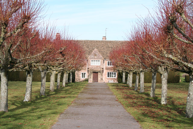
Hill Farm, Stawley

Hill Farm in Stawley, Somerset, England was built in the late 16th century. It is a Grade II* listed building. == History == The farmhouse was built in...

Kittisford

Kittisford is a village and former civil parish and manor, now in the parish of Stawley in the Somerset district, in the ceremonial county of Somerset...

Church of All Saints, Chipstable

The Church of All Saints is an Anglican church in Chipstable, Somerset, England which probably dates from the early 13th century. It is located in the...

Nearby Amenities

Located within 500m of 51.00473,-3.3642979
Power: tower
Source: bing
Lat/Long: 51.006941/-3.3653617
Power: tower
Source: bing
Lat/Long: 51.007013/-3.3605954
The data included in this document is from www.openstreetmap.org. The data is made available under ODbL.

Have you been to Combe Copse?

Leave your review of Combe Copse below (or comments, questions and feedback).