Old Mill Leat
Lake, Pool, Pond, Freshwater Marsh in Cornwall
England
Old Mill Leat
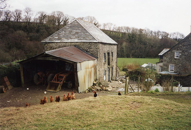
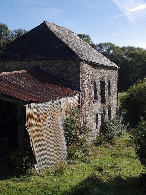
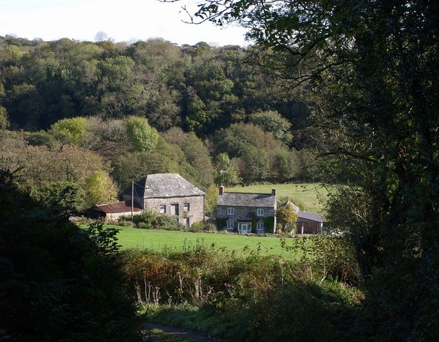
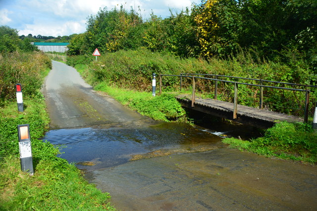
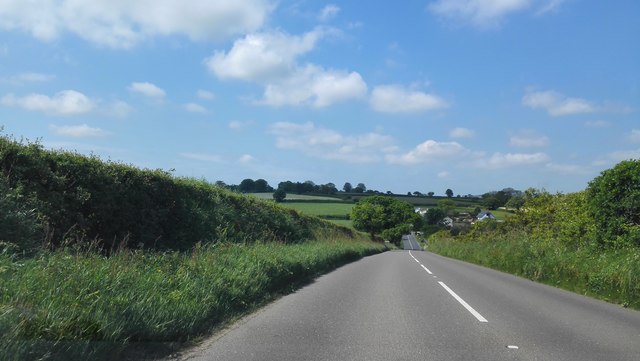
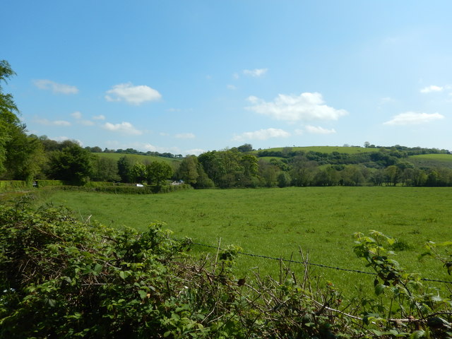
Old Mill Leat is a picturesque freshwater marsh located in Cornwall, England. This tranquil area is characterized by its calm waters, lush vegetation, and diverse wildlife. The leat is fed by a nearby stream and is surrounded by a mix of trees, reeds, and grasses.
The water in Old Mill Leat is clear and cool, making it a popular spot for fishing, birdwatching, and nature walks. Visitors can expect to see a variety of aquatic plants and animals, including water lilies, frogs, and dragonflies. The marsh is also home to a number of bird species, such as ducks, herons, and kingfishers.
The leat is bordered by a network of footpaths and boardwalks, allowing visitors to explore the area and take in the stunning natural beauty. The peaceful ambiance of Old Mill Leat makes it a perfect destination for those looking to escape the hustle and bustle of everyday life and reconnect with nature.
Overall, Old Mill Leat is a hidden gem in Cornwall, offering a serene and tranquil retreat for nature lovers and outdoor enthusiasts alike.
If you have any feedback on the listing, please let us know in the comments section below.
Old Mill Leat Images
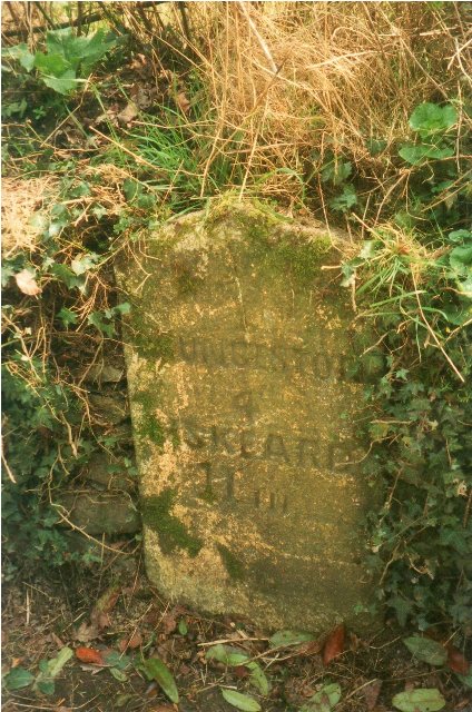
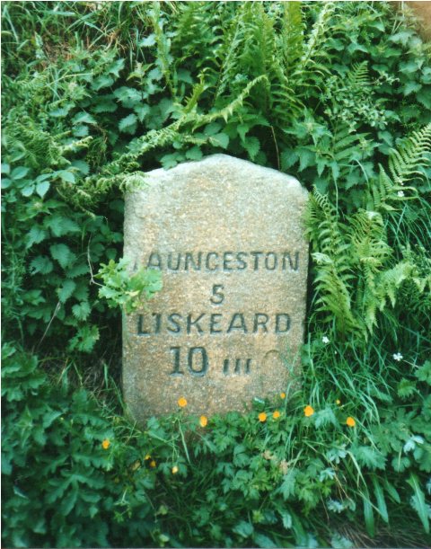
Images are sourced within 2km of 50.583049/-4.3960161 or Grid Reference SX3078. Thanks to Geograph Open Source API. All images are credited.

Old Mill Leat is located at Grid Ref: SX3078 (Lat: 50.583049, Lng: -4.3960161)
Unitary Authority: Cornwall
Police Authority: Devon and Cornwall
What 3 Words
///easy.fortified.relatives. Near North Hill, Cornwall
Nearby Locations
Related Wikis

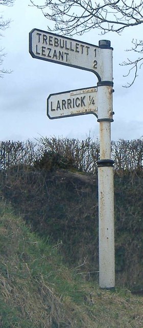
Larrick
Larrick is a hamlet in the parish of Lezant (where the population of the 2011 census was included.), Cornwall, England. == References ==

Illand
Illand is a hamlet in the parish of North Hill, Cornwall, England. == References ==
Trebullett
Trebullett is a hamlet in Cornwall, England, United Kingdom. It is about one mile west of Lezant. Another hamlet, Lower Trebullett, is further south....
Lower Trebullett
Lower Trebullett is a hamlet in the parish of Lezant, Cornwall, England. == References ==
Nearby Amenities
Located within 500m of 50.583049,-4.3960161Have you been to Old Mill Leat?
Leave your review of Old Mill Leat below (or comments, questions and feedback).