Trewinnow Plantation
Wood, Forest in Cornwall
England
Trewinnow Plantation
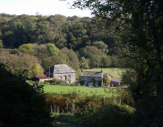
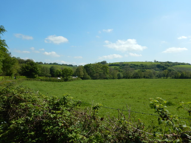
Trewinnow Plantation is a beautiful woodland area located in Cornwall, England. Covering an area of approximately 50 acres, it is a designated Site of Special Scientific Interest (SSSI) due to its diverse and unique wildlife and plant species.
The plantation is predominantly composed of deciduous trees, such as oak, beech, and birch, which provide a stunning display of colors during the autumn season. These trees create a dense canopy that allows only dappled sunlight to filter through, resulting in a cool and tranquil atmosphere within the woodland.
The forest floor is covered with a rich carpet of mosses, ferns, and wildflowers, creating a vibrant undergrowth that supports a wide range of insects and small mammals. It is not uncommon to spot squirrels, badgers, and various bird species, including woodpeckers and owls, within the plantation.
Trewinnow Plantation is crisscrossed by a network of footpaths and trails, making it a popular destination for nature enthusiasts and walkers. The paths wind their way through the trees, offering visitors the opportunity to immerse themselves in the peaceful ambiance of the woodland and discover its hidden treasures.
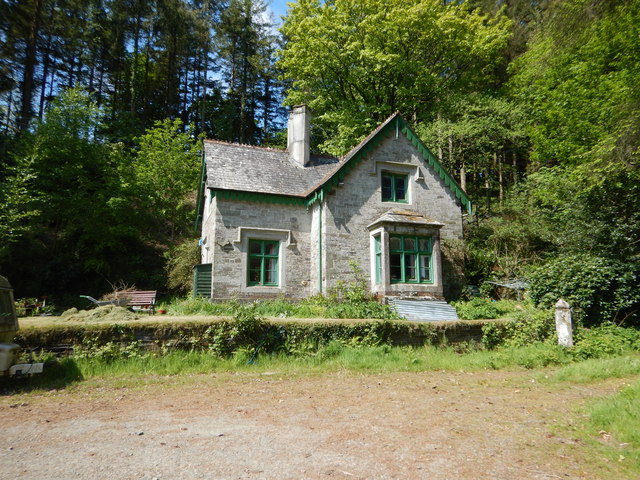
The plantation is well-maintained, with regular conservation efforts to preserve its natural beauty and protect the ecosystem. It is managed by the local authorities in collaboration with environmental organizations to ensure the sustainability of the woodland and its inhabitants.
Whether you are looking for a peaceful stroll, a chance to observe wildlife, or simply a place to reconnect with nature, Trewinnow Plantation in Cornwall is a perfect destination that offers all of these and more.
If you have any feedback on the listing, please let us know in the comments section below.
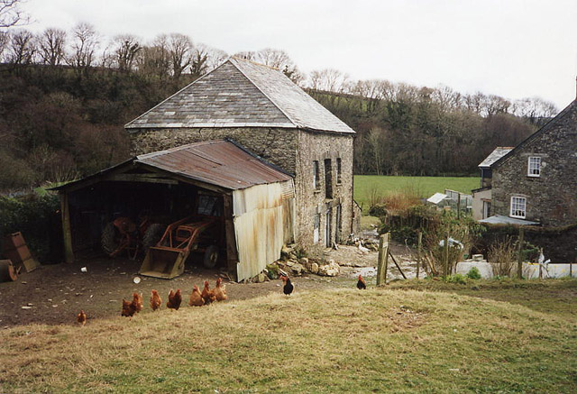
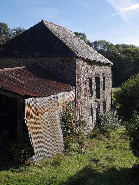
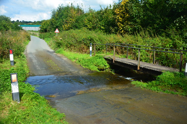
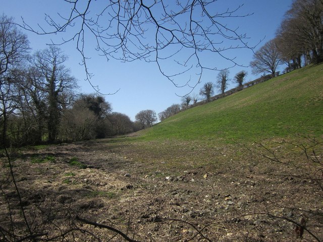
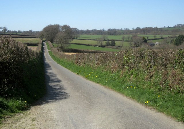
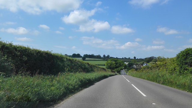
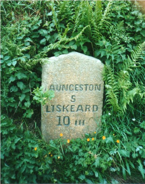
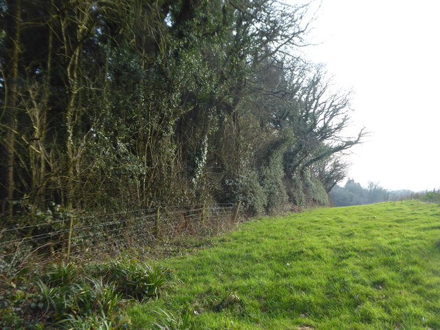
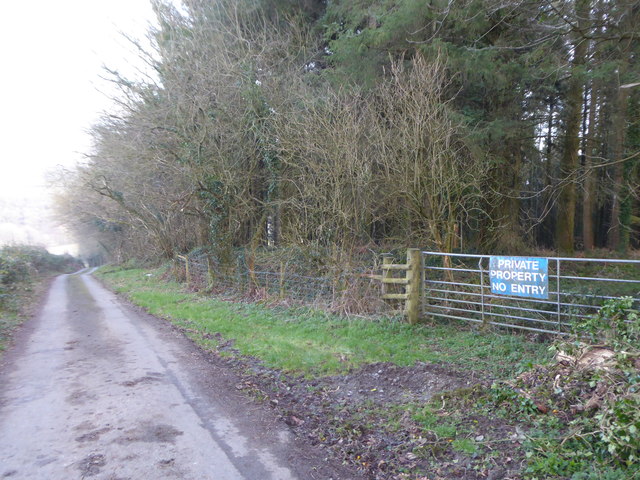
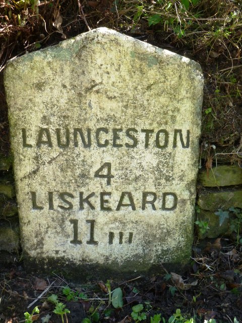
Trewinnow Plantation Images
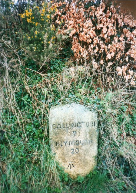
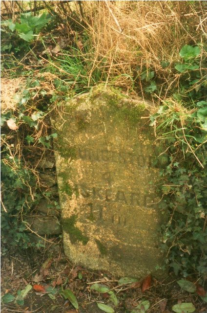
Images are sourced within 2km of 50.583672/-4.3972203 or Grid Reference SX3078. Thanks to Geograph Open Source API. All images are credited.

Trewinnow Plantation is located at Grid Ref: SX3078 (Lat: 50.583672, Lng: -4.3972203)
Unitary Authority: Cornwall
Police Authority: Devon and Cornwall
What 3 Words
///winemaker.fended.rated. Near North Hill, Cornwall
Nearby Locations
Related Wikis

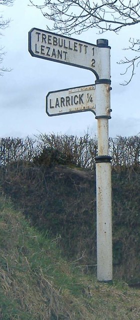
Larrick
Larrick is a hamlet in the parish of Lezant (where the population of the 2011 census was included.), Cornwall, England. == References ==

Illand
Illand is a hamlet in the parish of North Hill, Cornwall, England. == References ==
Trebullett
Trebullett is a hamlet in Cornwall, England, United Kingdom. It is about one mile west of Lezant. Another hamlet, Lower Trebullett, is further south....

Coad's Green
Coad's Green (or Coads Green) is a village in Cornwall, England, United Kingdom, located on the B3257 in a rural area to the east of Bodmin Moor, about...
Have you been to Trewinnow Plantation?
Leave your review of Trewinnow Plantation below (or comments, questions and feedback).