Lodge Plantation

Wood, Forest in Cornwall

England

Lodge Plantation

Old Direction Sign - Signpost by Hornacott Cross, Boyton parish Cone finial - bottom arm  missing completely; by the UC road, in parish of Boyton (North Cornwall District), Hornacott Cross.

Cornwall & Scilly HER.
HER Number: MCO57751 <span class="nowrap"><a title="https://www.heritagegateway.org.uk/Gateway/Results_Single.aspx?uid=MCO57751&resourceID=1020" rel="nofollow ugc noopener" href="https://www.heritagegateway.org.uk/Gateway/Results_Single.aspx?uid=MCO57751&resourceID=1020">Link</a><img style="margin-left:2px;" alt="External link" title="External link - shift click to open in new window" src="https://s1.geograph.org.uk/img/external.png" width="10" height="10"/></span>

Surveyed

Milestone Society National ID: CW_SX3094
Old Direction Sign - Signpost by Hornacott Cross, Boyton parish Credit: Milestone Society

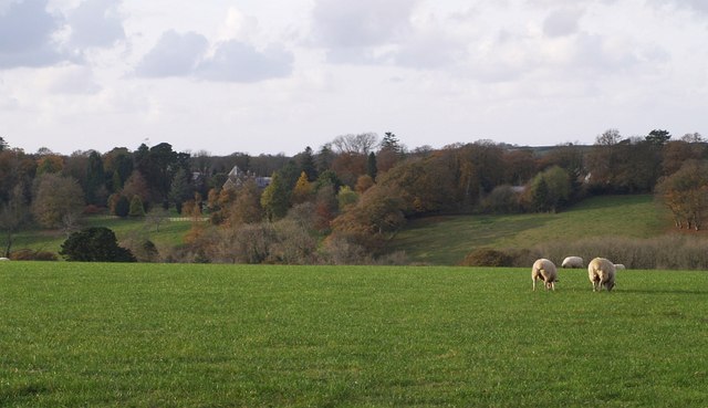
Lodge Plantation, located in Cornwall, is a picturesque woodland area renowned for its natural beauty and rich biodiversity. Covering a vast expanse of land, the plantation is a haven for nature lovers and outdoor enthusiasts alike.

The woodland is characterized by a dense canopy of trees, predominantly consisting of oak, beech, and ash. These towering trees provide shade and shelter to an array of wildlife species that call the plantation their home. Visitors can expect to encounter a diverse range of birds, including woodpeckers, owls, and various songbirds, as well as small mammals like squirrels and rabbits.

Lodge Plantation offers a network of well-maintained trails that wind through the forest, providing visitors with the opportunity to immerse themselves in the tranquility of nature. These paths cater to different levels of fitness and are suitable for leisurely strolls as well as more adventurous hikes. Along the way, hikers can discover hidden streams, vibrant wildflowers, and even the occasional rare orchid.

The plantation also serves as an educational resource, with information boards scattered throughout the area offering insights into the local flora and fauna. Additionally, guided tours and nature workshops are available, providing visitors with a deeper understanding of the ecosystem and its conservation.

Lodge Plantation is easily accessible, with ample parking facilities and nearby amenities. The site is open year-round, and each season brings its own unique charm, from the vibrant foliage of autumn to the delicate blossoms of spring.

Overall, Lodge Plantation offers a serene escape into nature, where visitors can explore, learn, and appreciate the beauty of Cornwall's woodlands.

If you have any feedback on the listing, please let us know in the comments section below.

Lodge Plantation Images

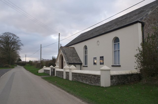
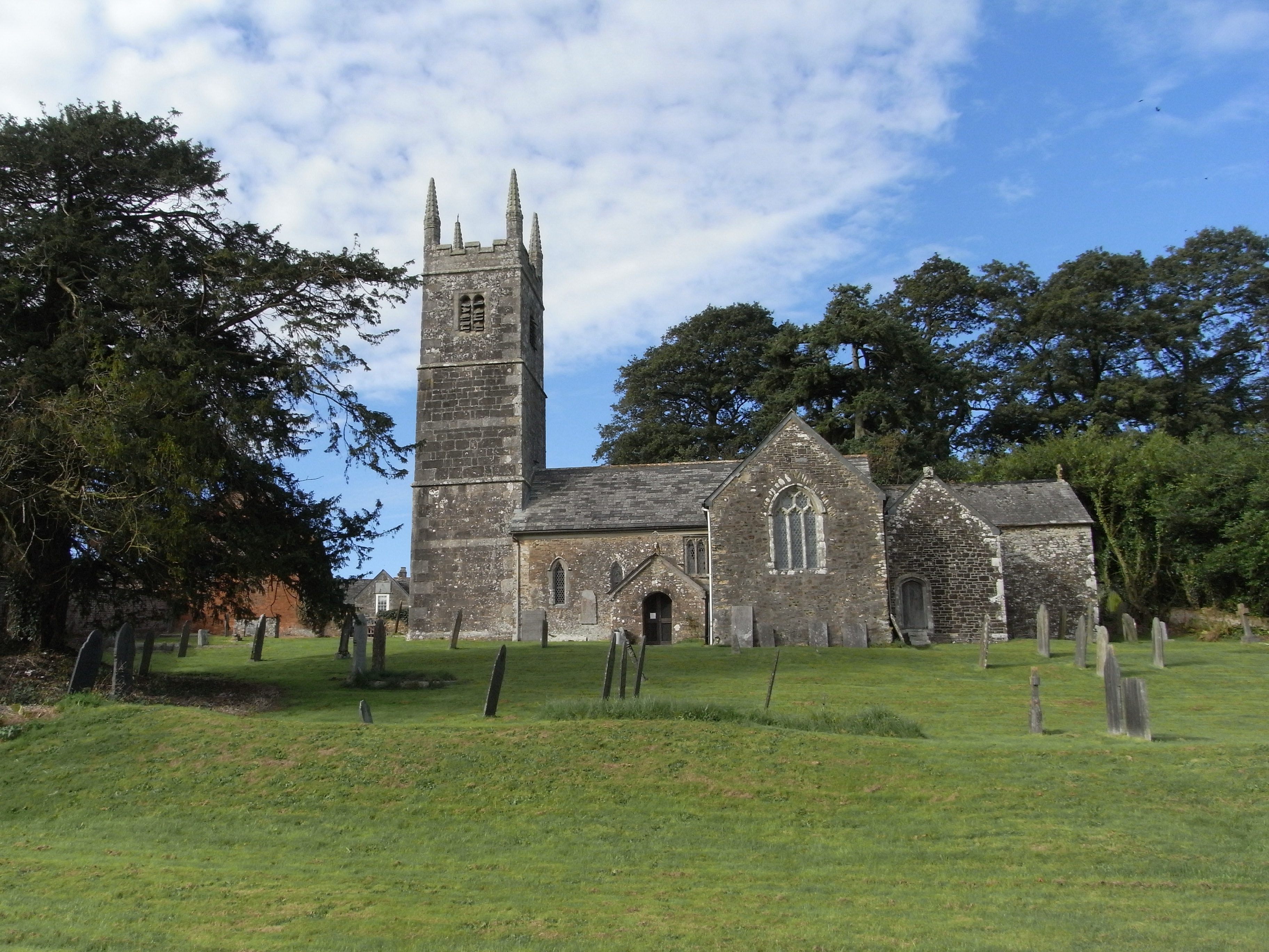
Images are sourced within 2km of 50.729152/-4.4056339 or Grid Reference SX3094. Thanks to Geograph Open Source API. All images are credited.

Old Direction Sign - Signpost by Hornacott Cross, Boyton parish Cone finial - bottom arm  missing completely; by the UC road, in parish of Boyton (North Cornwall District), Hornacott Cross.

Cornwall & Scilly HER.
HER Number: MCO57751 <span class="nowrap"><a title="https://www.heritagegateway.org.uk/Gateway/Results_Single.aspx?uid=MCO57751&resourceID=1020" rel="nofollow ugc noopener" href="https://www.heritagegateway.org.uk/Gateway/Results_Single.aspx?uid=MCO57751&resourceID=1020">Link</a><img style="margin-left:2px;" alt="External link" title="External link - shift click to open in new window" src="https://s1.geograph.org.uk/img/external.png" width="10" height="10"/></span>

Surveyed

Milestone Society National ID: CW_SX3094
Old Direction Sign - Signpost by Hornacott Cross, Boyton parish
Cone finial - bottom arm missing completely; by the UC road, in parish of Boyton (North Cornwall District), Hornacott Cross. Cornwall & Scilly HER. HER Number: MCO57751 LinkExternal link Surveyed Milestone Society National ID: CW_SX3094
Old Milestone by the B3254 near West Curry Carved stone post by the B3254, in parish of BOYTON (NORTH CORNWALL District), Parkhurst, West Curry, against hedge on bend, on East side of road. Kilkhampton County stone, erected by the Local Highways Board in the 19th century. 

Inscription reads:-
LAUNCESTON
7
BUDE
12
KILKHAMPTON
12 

Milestone Society National ID: CW_KHLA12.
Old Milestone by the B3254 near West Curry
Carved stone post by the B3254, in parish of BOYTON (NORTH CORNWALL District), Parkhurst, West Curry, against hedge on bend, on East side of road. Kilkhampton County stone, erected by the Local Highways Board in the 19th century. Inscription reads:- LAUNCESTON 7 BUDE 12 KILKHAMPTON 12 Milestone Society National ID: CW_KHLA12.
Old Milestone by the B3254, near West Curry Carved stone post by the B3254, in parish of BOYTON (NORTH CORNWALL District), Parkhurst, West Curry, against hedge on bend, on East side of road. Kilkhampton County stone, erected by the Local Highways Board in the 19th century. 

Inscription reads:-
LAUNCESTON
7
BUDE
12
KILKHAMPTON
12 

Cornwall & Scilly HER.
HER Number: 176713 <span class="nowrap"><a title="https://www.heritagegateway.org.uk/Gateway/Results_Single.aspx?uid=MCO52524&resourceID=1020" rel="nofollow ugc noopener" href="https://www.heritagegateway.org.uk/Gateway/Results_Single.aspx?uid=MCO52524&resourceID=1020">Link</a><img style="margin-left:2px;" alt="External link" title="External link - shift click to open in new window" src="https://s1.geograph.org.uk/img/external.png" width="10" height="10"/></span>

Milestone Society National ID: CW_KHLA12.
Old Milestone by the B3254, near West Curry
Carved stone post by the B3254, in parish of BOYTON (NORTH CORNWALL District), Parkhurst, West Curry, against hedge on bend, on East side of road. Kilkhampton County stone, erected by the Local Highways Board in the 19th century. Inscription reads:- LAUNCESTON 7 BUDE 12 KILKHAMPTON 12 Cornwall & Scilly HER. HER Number: 176713 LinkExternal link Milestone Society National ID: CW_KHLA12.
Road past Bradcott The lane runs along high land between Boyton and North Tamerton; here it dips slightly on the stretch between Bradridge and Hornacott.
Road past Bradcott
The lane runs along high land between Boyton and North Tamerton; here it dips slightly on the stretch between Bradridge and Hornacott.
Roadside near Hornacott A wide verge, a ditch tucked away below the hedge bank, and the road to Boyton heading away; the only fragment of the square publicly accessible.
Roadside near Hornacott
A wide verge, a ditch tucked away below the hedge bank, and the road to Boyton heading away; the only fragment of the square publicly accessible.
Field near Hornacott Farm Looking east from the lane between Boyton and North Tamerton across a field to trees around the source of a stream, which joins with others to form a small tributary of the Tamar.
Field near Hornacott Farm
Looking east from the lane between Boyton and North Tamerton across a field to trees around the source of a stream, which joins with others to form a small tributary of the Tamar.
Ogbeare Hall A distant glimpse of the mansion, part C15 but substantially rebuilt in the C19, from the lane between Hornacott Farm and North Tamerton. The house is on the north side of a steep little valley, part of which forms some of its grounds, and which drains into the Tamar.
Ogbeare Hall
A distant glimpse of the mansion, part C15 but substantially rebuilt in the C19, from the lane between Hornacott Farm and North Tamerton. The house is on the north side of a steep little valley, part of which forms some of its grounds, and which drains into the Tamar.
Eastcott Arms A pub on a farm, as their website has it, tucked away off the North Tamerton - Boyton road.
Eastcott Arms
A pub on a farm, as their website has it, tucked away off the North Tamerton - Boyton road.
Cottage near North Tamerton The cottage stands by the lane from North Tamerton to Boyton, in the valley downstream from <a href="https://www.geograph.org.uk/photo/606523">SX3095 : Ogbeare Hall</a>.
Cottage near North Tamerton
The cottage stands by the lane from North Tamerton to Boyton, in the valley downstream from SX3095 : Ogbeare Hall.
Beardon Mill The mill cottage is at the end of a leat above the Tala Water. The slope between the leat and the river (to the left of the scene) is steep and wooded; the mill is placed where the valley opens out downstream (see <a href="https://www.geograph.org.uk/photo/608478">SX3092 : Valley of Tala Water</a>). The lane, from Darracott, reaches its conclusion just beyond the cottage.
Beardon Mill
The mill cottage is at the end of a leat above the Tala Water. The slope between the leat and the river (to the left of the scene) is steep and wooded; the mill is placed where the valley opens out downstream (see SX3092 : Valley of Tala Water). The lane, from Darracott, reaches its conclusion just beyond the cottage.
Track from Beardon Barton The track, followed by the footpath to the lane near Villaton Farm, passes a gateway at the northern edge of the square.
Track from Beardon Barton
The track, followed by the footpath to the lane near Villaton Farm, passes a gateway at the northern edge of the square.
Lane at Beardon Mill This corner under the beeches is the beginning of the public lane past <a href="https://www.geograph.org.uk/photo/608480">SX3093 : Beardon Mill</a>, which is just round the corner, and over the bridge in the background, climbing past the point at which that photo was taken. Seen from the footpath following the drive below Beardon Barton farm (up to the right); the right of way continues to the left via Underhill to Boyton.
Lane at Beardon Mill
This corner under the beeches is the beginning of the public lane past SX3093 : Beardon Mill, which is just round the corner, and over the bridge in the background, climbing past the point at which that photo was taken. Seen from the footpath following the drive below Beardon Barton farm (up to the right); the right of way continues to the left via Underhill to Boyton.
Signposts at Hornacott Chapel Rival old and new signs at this T-junction on the ridgetop road between Boyton and North Tamerton. Below are hydrant and stop valve (?) markers.
Signposts at Hornacott Chapel
Rival old and new signs at this T-junction on the ridgetop road between Boyton and North Tamerton. Below are hydrant and stop valve (?) markers.
Row of trees near Tamerton Town Looking up hill in the general direction of Semersdon Farm. This is in fact a blocked-off farm track.
Row of trees near Tamerton Town
Looking up hill in the general direction of Semersdon Farm. This is in fact a blocked-off farm track.
Field beside B3254 A view over a hedge from beneath a white poplar beside a layby on the B road north of Curry Lane.
Field beside B3254
A view over a hedge from beneath a white poplar beside a layby on the B road north of Curry Lane.
Westcott Wood from Villaton Plantation Westcott Wood is at the head of a well-wooded valley which passes through the grounds of <a href="https://www.geograph.org.uk/photo/606523">SX3095 : Ogbeare Hall</a>, draining away from the camera. The plantation is beside a lane running along the watershed between that valley and the Tala Water.
Westcott Wood from Villaton Plantation
Westcott Wood is at the head of a well-wooded valley which passes through the grounds of SX3095 : Ogbeare Hall, draining away from the camera. The plantation is beside a lane running along the watershed between that valley and the Tala Water.
Footpath at Beardon The long and direct track, followed by the footpath between the lane near Villaton and Beardon Barton, takes a double bend as it switches from one side of the field boundary to the other, passing a shapely tree and a solid stone post.
Footpath at Beardon
The long and direct track, followed by the footpath between the lane near Villaton and Beardon Barton, takes a double bend as it switches from one side of the field boundary to the other, passing a shapely tree and a solid stone post.
Ogbeare plantations from the north A view right across the square from the lane from Wilsworthy Cross to North Tamerton, which runs along its northern edge. Hidden are two valleys which join to run left towards the Tamar. Beyond them, the appropriately-named Strip Plantation runs across to meet Ogbeare Plantation on the left.
Ogbeare plantations from the north
A view right across the square from the lane from Wilsworthy Cross to North Tamerton, which runs along its northern edge. Hidden are two valleys which join to run left towards the Tamar. Beyond them, the appropriately-named Strip Plantation runs across to meet Ogbeare Plantation on the left.
Show me another place!

Lodge Plantation is located at Grid Ref: SX3094 (Lat: 50.729152, Lng: -4.4056339)

Unitary Authority: Cornwall

Police Authority: Devon and Cornwall

What 3 Words

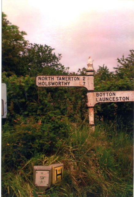
///glee.shark.passively. Near Boyton, Cornwall

Nearby Locations

Lodge Plantation

Related Wikis

Curry Lane

Curry Lane is a hamlet in the parish of Boyton Cornwall, England. == References ==

West Curry

West Curry (Cornish: Kori Veur) is a farm north of Bennacott in north Cornwall, England, UK.It appears in the Domesday Book (1086) as Chori, where in 1086...

North Tamerton

North Tamerton (Cornish: Tre war Damer) is a village and civil parish in east Cornwall, England, UK. The village is situated approximately eight miles...

Tetcott

Tetcott is a civil parish, small settlement and former manor (once the home of the Arscotts of Tetcott) in Devon, England. The parish lies about five miles...

Have you been to Lodge Plantation?

Leave your review of Lodge Plantation below (or comments, questions and feedback).