Llyn y Fydlyn
Lake, Pool, Pond, Freshwater Marsh in Anglesey
Wales
Llyn y Fydlyn
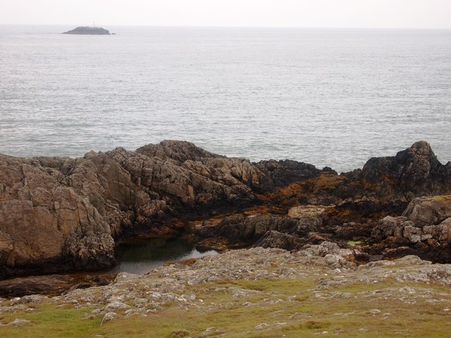
Llyn y Fydlyn is a small freshwater lake located on the island of Anglesey, off the northwest coast of Wales. It is situated near the town of Llanfairpwllgwyngyllgogerychwyrndrobwllllantysiliogogogoch, known for having the longest place name in Europe. The lake covers an area of approximately 2 hectares and is surrounded by lush greenery and rolling hills.
The lake is known for its tranquil and picturesque setting, attracting nature enthusiasts and photographers alike. It is fed by small streams and natural springs, ensuring a constant supply of fresh water. The water in Llyn y Fydlyn is clear and clean, providing a suitable habitat for a variety of aquatic plants and animals.
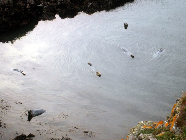
The lake is also home to a diverse range of bird species, making it a popular spot for birdwatching. Visitors may spot kingfishers, herons, and various waterfowl during their visit. The surrounding area of Llyn y Fydlyn is also rich in wildlife, with sightings of otters and water voles reported.
As well as being a haven for flora and fauna, Llyn y Fydlyn offers recreational activities for visitors. Fishing is a popular pastime, with the lake being well-stocked with brown trout. Anglers can enjoy a peaceful day by the water, trying their luck at catching a prize fish.
Overall, Llyn y Fydlyn is a charming and serene freshwater lake, providing a haven for wildlife and a tranquil setting for visitors to enjoy the beauty of Anglesey's natural landscape.
If you have any feedback on the listing, please let us know in the comments section below.
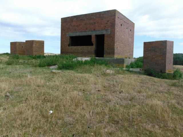
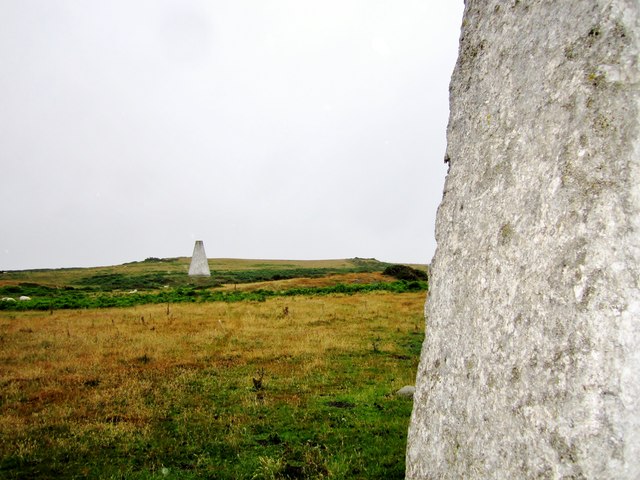
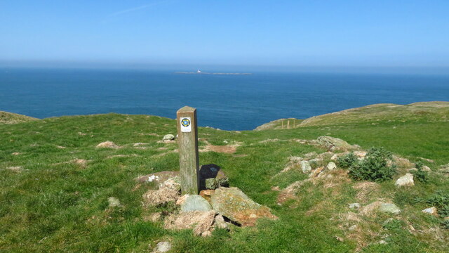
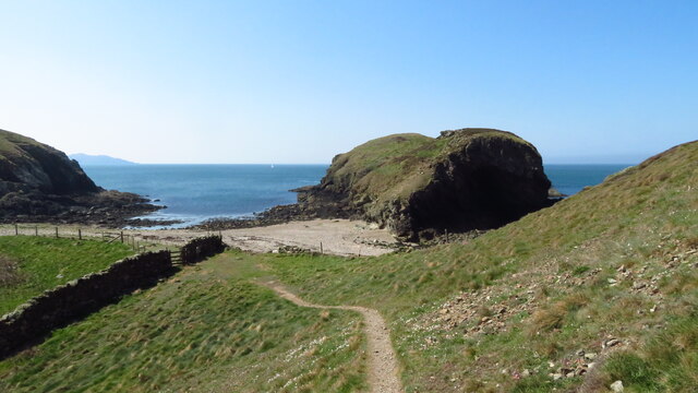
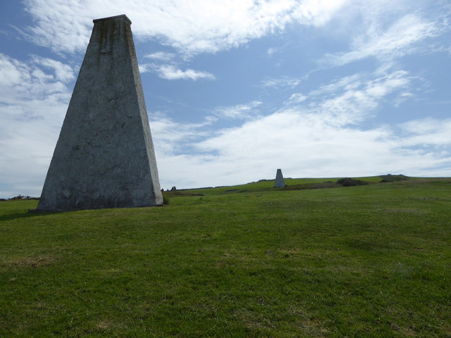
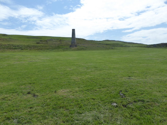
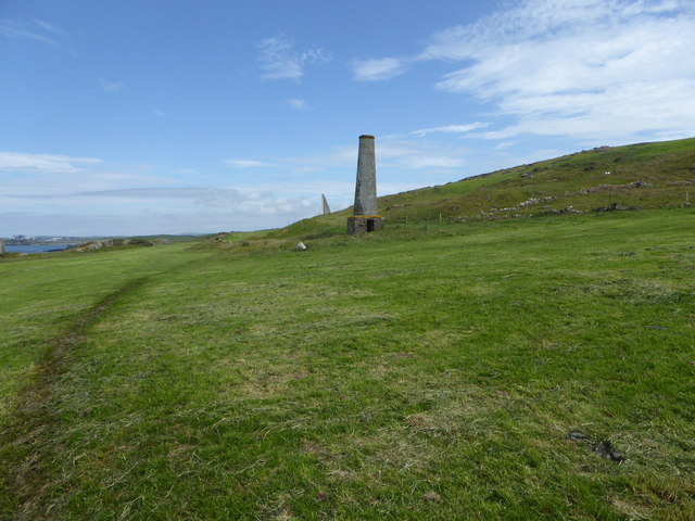
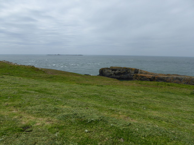
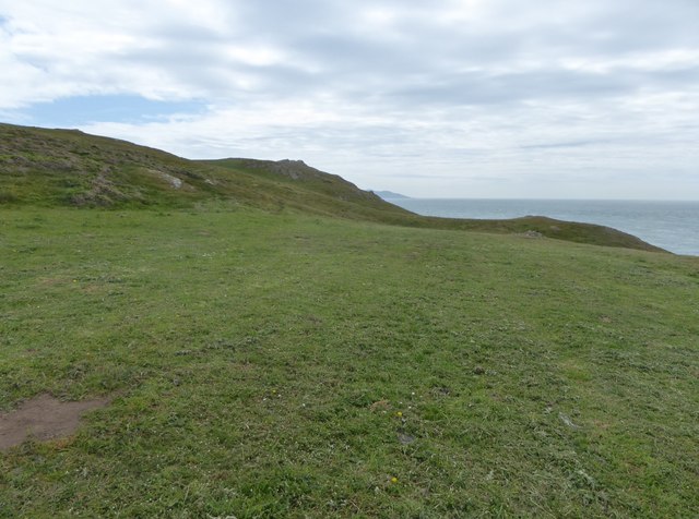
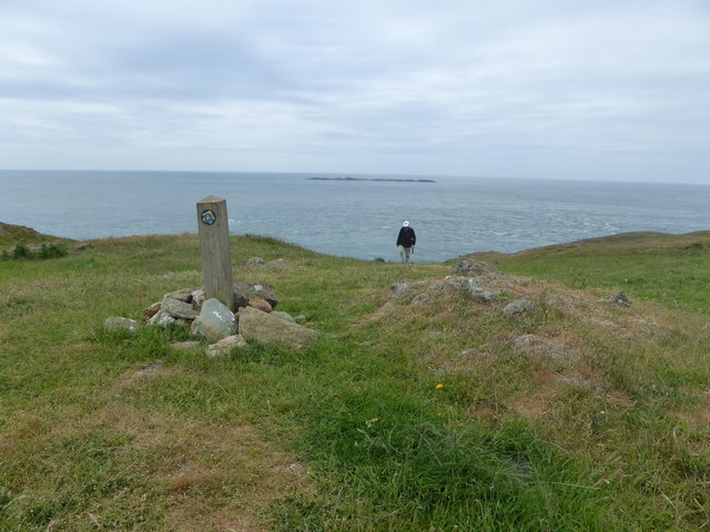
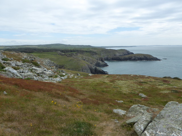
Llyn y Fydlyn Images
Images are sourced within 2km of 53.394748/-4.5681559 or Grid Reference SH2991. Thanks to Geograph Open Source API. All images are credited.
Llyn y Fydlyn is located at Grid Ref: SH2991 (Lat: 53.394748, Lng: -4.5681559)
Unitary Authority: Isle of Anglesey
Police Authority: North Wales
What 3 Words
///icons.testing.cowering. Near Llanfaethlu, Isle of Anglesey
Nearby Locations
Related Wikis
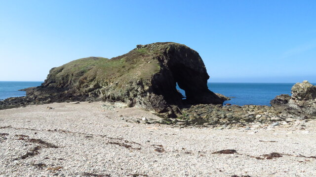
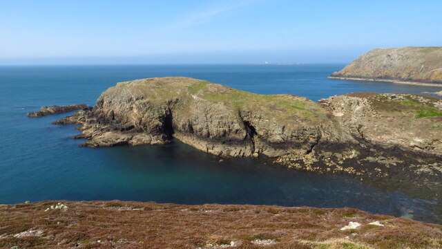
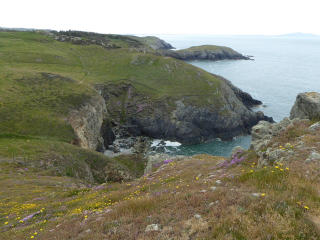
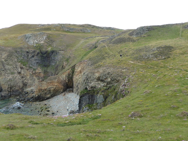
Carmel Head
Carmel Head (Welsh: Trwyn y Gadair) is a prominent coastal headland on the northwest tip of the island of Anglesey. It is a designated SSSI because of...
Llanfair-yng-Nghornwy
Llanfair-yng-Nghornwy () is a village in Anglesey, in north-west Wales. == See also == St Mary's Church, Llanfair-yng-Nghornwy == References ==

Clegir Mawr
Clegir Mawr is a Site of Special Scientific Interest (SSSI) in the community of Cylch-y-Garn in the north-west of the island of Anglesey, Wales. It is...

Caerau, Anglesey
Caerau, Cylch-y-Garn is an area in the community of Cylch-y-Garn, Isle of Anglesey, Wales. == Caerau Mansion == There is a group of buildings at Caerau...
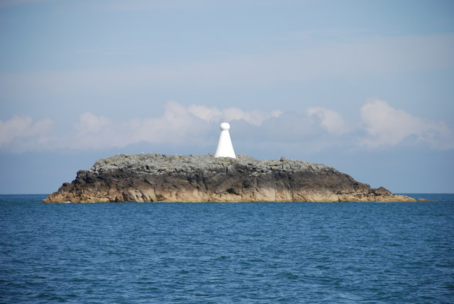
West Mouse
West Mouse (Welsh: Maen y Bugail) is an islet lying 1.1 kilometres (0.68 mi) off the north-west coast of Anglesey, Wales. Its maximum dimensions are 92...
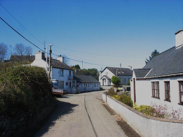
Church Bay, Anglesey
Church Bay (Welsh: Porth Swtan) is a settlement on the north-west coast of Anglesey, Wales, United Kingdom, about a mile and a half north-west of the...
Henborth
Henborth is a Site of Special Scientific Interest (or SSSI) in Anglesey, North Wales. It has been designated as a Site of Special Scientific Interest since...
SS Castilian (1919)
SS Castilian was a British cargo steamship and is now a dangerous wreck in the Irish Sea off the coast of North Wales. She was built in 1919 to a standard...
Nearby Amenities
Located within 500m of 53.394748,-4.5681559Have you been to Llyn y Fydlyn?
Leave your review of Llyn y Fydlyn below (or comments, questions and feedback).