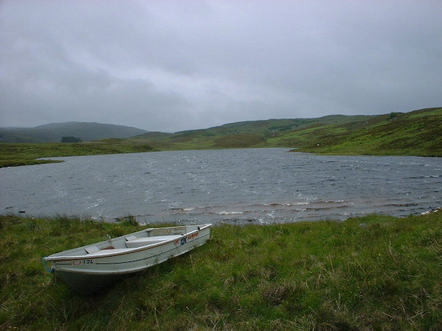
Lochan na Cuidhe
Lake, Pool, Pond, Freshwater Marsh in Inverness-shire
Scotland
Lochan na Cuidhe
The requested URL returned error: 429 Too Many Requests
If you have any feedback on the listing, please let us know in the comments section below.
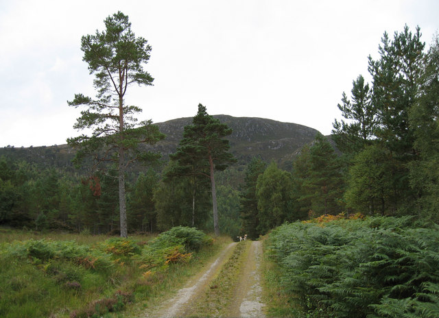
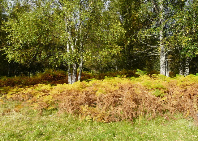
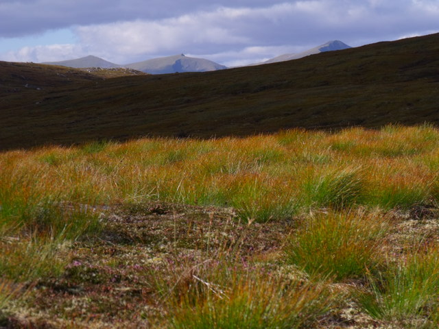
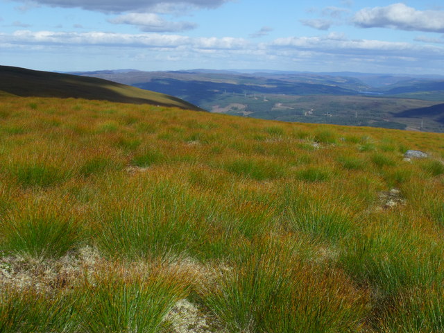
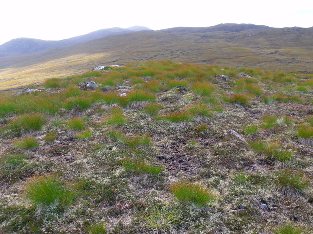
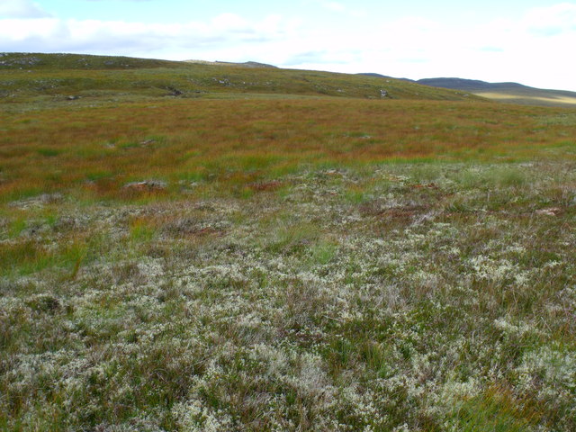
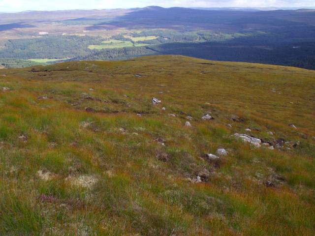
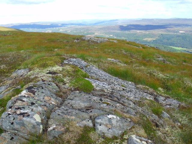
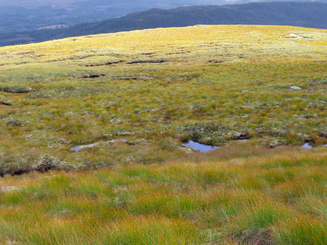
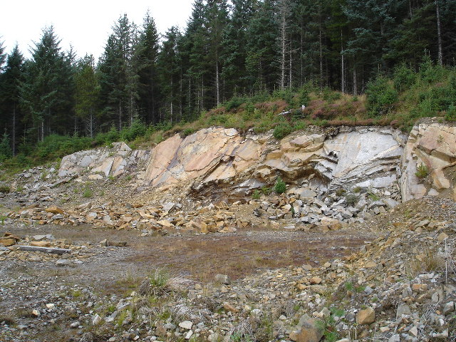
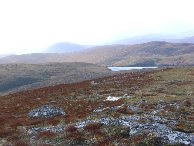
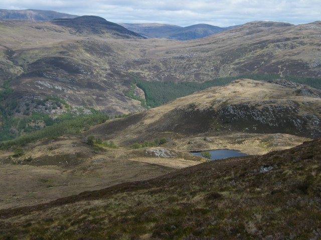
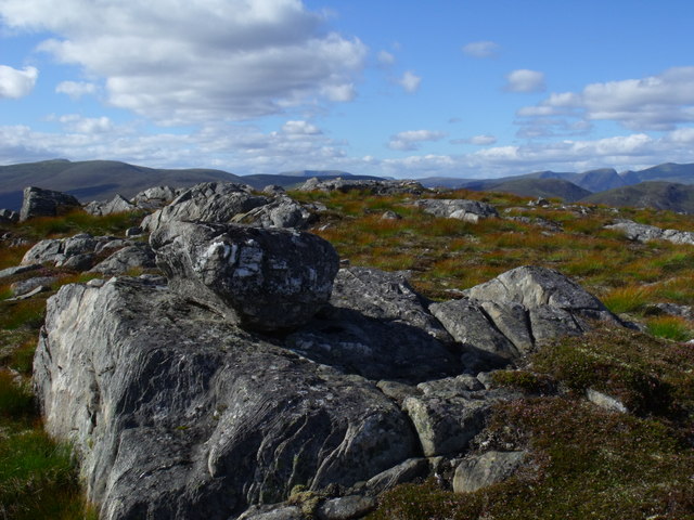
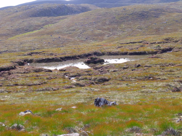
Lochan na Cuidhe Images
Images are sourced within 2km of 57.339266/-4.838574 or Grid Reference NH2931. Thanks to Geograph Open Source API. All images are credited.


Lochan na Cuidhe is located at Grid Ref: NH2931 (Lat: 57.339266, Lng: -4.838574)
Unitary Authority: Highland
Police Authority: Highlands and Islands
What 3 Words
///tidal.search.speech. Near Cannich, Highland
Nearby Locations
Related Wikis

Eas Maol Mhairi
Eas Maol Mhairi is a waterfall of Scotland. Just east of this waterfall is the River Cannich. == See also == Waterfalls of Scotland == References ==
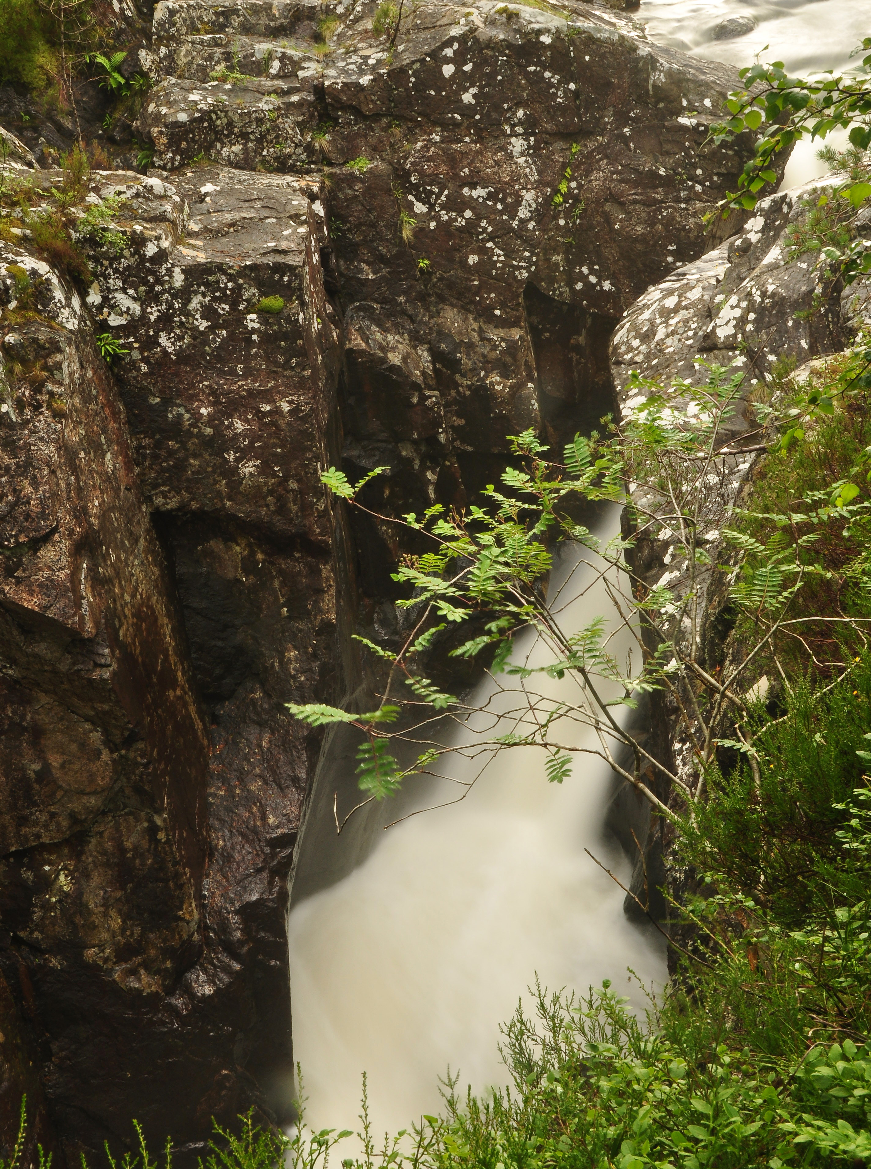
Dog Falls, Glen Affric
Dog Falls (Gaelic: Eas a' Choin) is a series of waterfalls on the River Affric, in Glen Affric in the Highlands of Scotland. The falls are within the Glen...
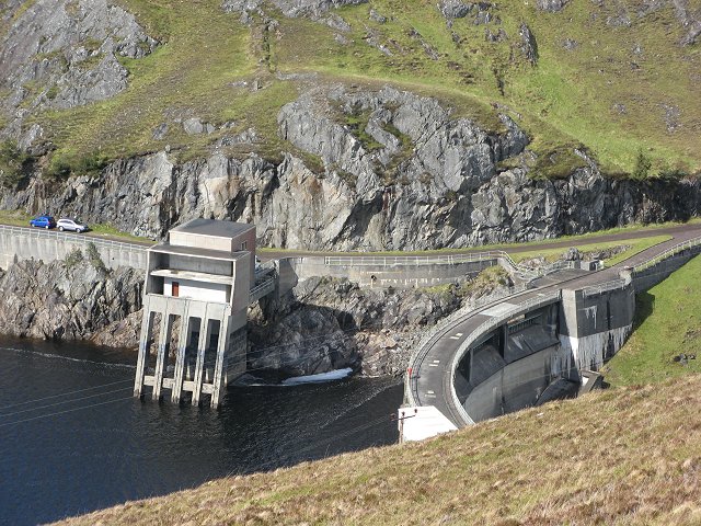
Affric-Beauly hydro-electric power scheme
The Affric-Beauly hydro-electric power scheme for the generation of hydro-electric power is located in the western Highlands of Scotland. It is based around...
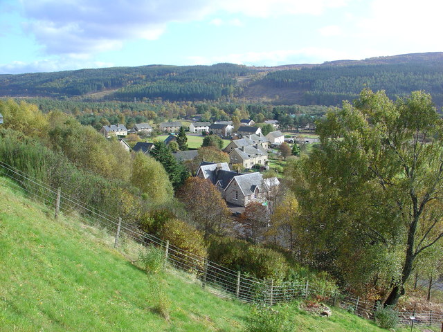
Cannich
Cannich (Gaelic: Canaich) is a village at the southern end of Strathglass, in the Highlands of Scotland, about 26 miles (42 km) west of the city of Inverness...
Have you been to Lochan na Cuidhe?
Leave your review of Lochan na Cuidhe below (or comments, questions and feedback).