Porth y Bribys

Bay in Anglesey

Wales

Porth y Bribys

Gunnery Range Marker Shelter Seen this structure from a distance previously, lucky enough to get close whilst walking Anglesey Coastal Path.
Gunnery Range Marker Shelter Credit: Arthur C Harris

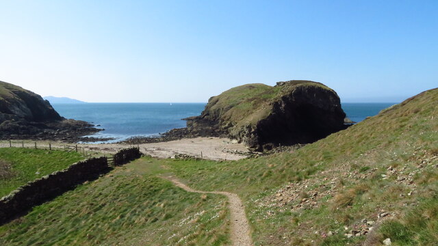
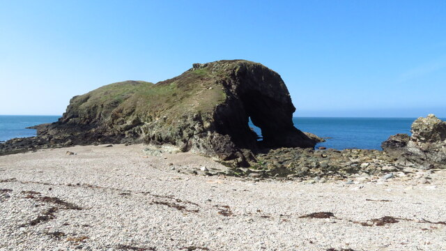
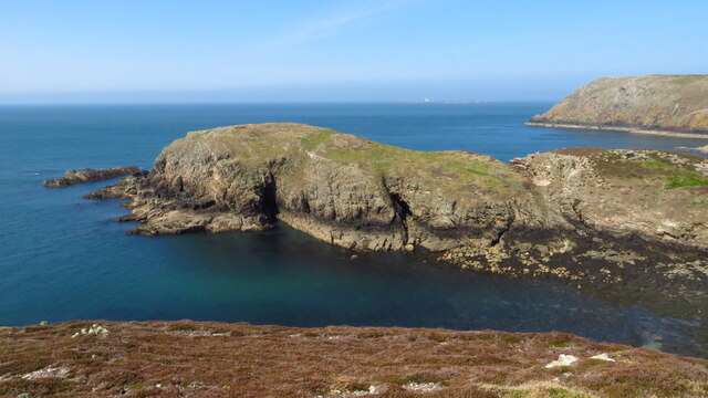
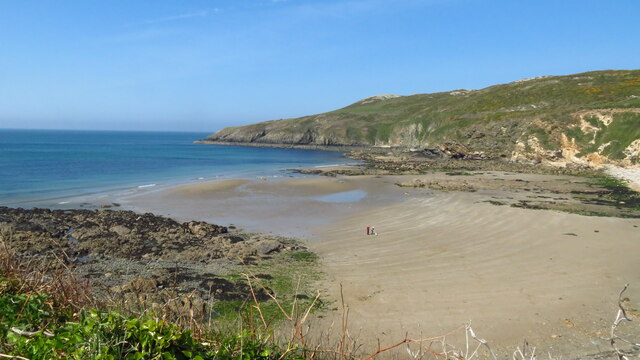
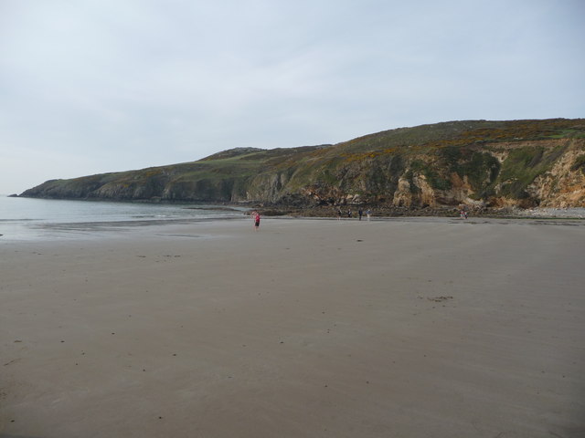
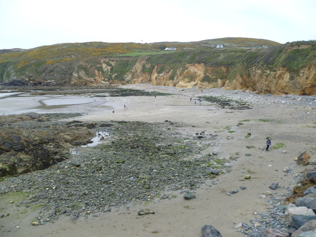
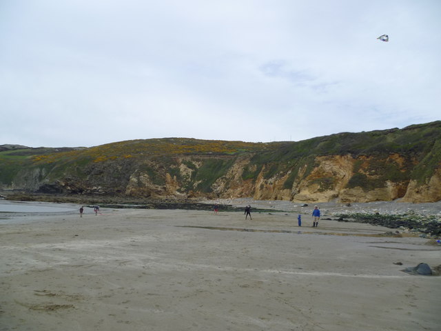
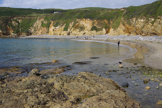
Porth y Bribys, also known as Bribys Bay, is a picturesque bay located on the northwestern coast of Anglesey, an island in North Wales. The bay is nestled between the villages of Rhoscolyn and Trearddur Bay, offering breathtaking views of the Irish Sea.

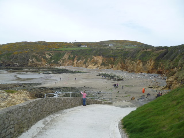
Porth y Bribys is a popular destination for beach lovers and outdoor enthusiasts due to its stunning sandy beach and crystal-clear waters. The bay is surrounded by rugged cliffs and rock formations, creating a tranquil and secluded atmosphere. The beach is relatively small, but its natural beauty and peacefulness make it an ideal spot for relaxation and unwinding.

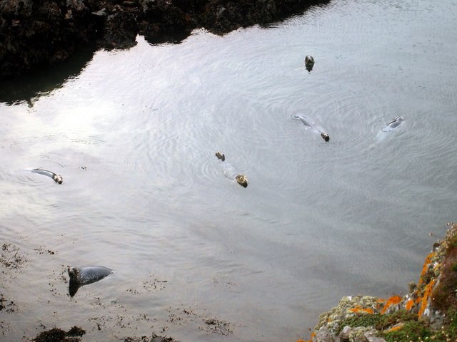
The bay is also known for its rich marine life and is a haven for divers and snorkelers. The clear waters provide excellent visibility, allowing visitors to explore the underwater world filled with colorful fish, shells, and even the occasional seal.

In addition to its natural beauty, Porth y Bribys offers easy access to nearby attractions such as the South Stack Lighthouse and Holyhead Mountain, both of which provide stunning panoramic views of the surrounding area.

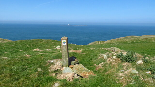
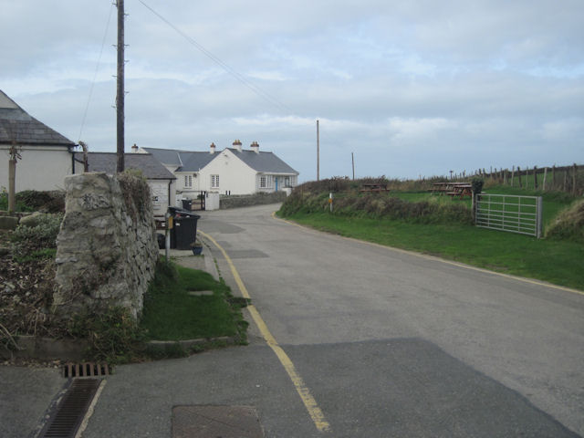
Visitors to Porth y Bribys can enjoy various activities such as swimming, sunbathing, picnicking, and exploring the nearby coastal paths. The bay is easily accessible by car, with parking available nearby, and there are also public transport links to the area.

Overall, Porth y Bribys is a hidden gem on the Anglesey coastline, offering visitors a peaceful and scenic beach experience in a beautiful natural setting.

If you have any feedback on the listing, please let us know in the comments section below.

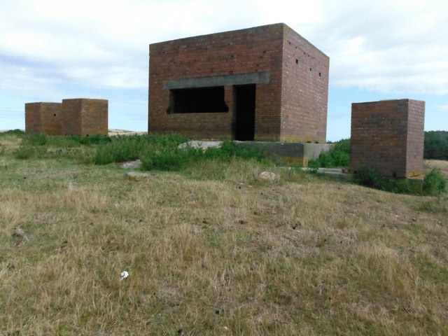
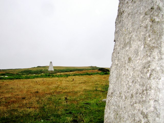
Porth y Bribys Images

Images are sourced within 2km of 53.388527/-4.5656304 or Grid Reference SH2991. Thanks to Geograph Open Source API. All images are credited.

Gunnery Range Marker Shelter Seen this structure from a distance previously, lucky enough to get close whilst walking Anglesey Coastal Path.
Gunnery Range Marker Shelter
Seen this structure from a distance previously, lucky enough to get close whilst walking Anglesey Coastal Path.
Navigation markers The Coal Rock Beacons known locally as the White Ladies.
<span class="nowrap"><a title="http://en.wikipedia.org/wiki/Carmel_Head" rel="nofollow ugc noopener" href="http://en.wikipedia.org/wiki/Carmel_Head">Link</a><img style="margin-left:2px;" alt="External link" title="External link - shift click to open in new window" src="https://s1.geograph.org.uk/img/external.png" width="10" height="10"/></span>
Navigation markers
The Coal Rock Beacons known locally as the White Ladies. LinkExternal link
Anglesey Coast Path at Carmel Head
Ynys y Fydlyn, S of Carmel Head
Rockfall at Porth Swtan A considerable chunk of the cliff at the back of Porth Swtan (Church Bay) beach has collapsed.
Rockfall at Porth Swtan
A considerable chunk of the cliff at the back of Porth Swtan (Church Bay) beach has collapsed.
Wavecrest Café, Porth Swtan Closed now for the season.
Wavecrest Café, Porth Swtan
Closed now for the season.
Church Bay near Rhydwyn, Anglesey
The sands of Church Bay / Porth Swtan, Anglesey Porth Swtan or Church Bay is a gem of a sandy cove with  a large-ish expanse of flat firm sand at low tide.
The sands of Church Bay / Porth Swtan, Anglesey
Porth Swtan or Church Bay is a gem of a sandy cove with a large-ish expanse of flat firm sand at low tide.
Lane down to shore at Church Bay From Car Park
Lane down to shore at Church Bay
From Car Park
Church Bay, Anglesey Lovely location and a great beach.
Church Bay, Anglesey
Lovely location and a great beach.
Church Bay, Anglesey One of the whole island's best locations. Sssshhhh!
Church Bay, Anglesey
One of the whole island's best locations. Sssshhhh!
Church Bay, Anglesey Let's go fly a kite, up to the highest height, let's go fly a kite and send it soaring! etc
Church Bay, Anglesey
Let's go fly a kite, up to the highest height, let's go fly a kite and send it soaring! etc
Church Bay / Porth Swtan
Coal Rock Pilot Beacons, Carmel Head Also known as the 'White Ladies'.  They were erected by Trinity House in the 1830's as an aid to navigation into the harbour at Holyhead and probably used in conjuction with the marker on West Mouse
Coal Rock Pilot Beacons, Carmel Head
Also known as the 'White Ladies'. They were erected by Trinity House in the 1830's as an aid to navigation into the harbour at Holyhead and probably used in conjuction with the marker on West Mouse
Grey Seals, Porth y Dyfn
White Lady beacon The beacons were erected on Carmel Head by Trinity House in the 1830's as an aid to navigation into the harbour at Holyhead and probably used in conjuction with the marker on West Mouse.
White Lady beacon
The beacons were erected on Carmel Head by Trinity House in the 1830's as an aid to navigation into the harbour at Holyhead and probably used in conjuction with the marker on West Mouse.
Show me another place!

Porth y Bribys is located at Grid Ref: SH2991 (Lat: 53.388527, Lng: -4.5656304)

Unitary Authority: Isle of Anglesey

Police Authority: North Wales

What 3 Words

///debit.headstone.finger. Near Llanfaethlu, Isle of Anglesey

Related Wikis

Llanfair-yng-Nghornwy

Llanfair-yng-Nghornwy () is a village in Anglesey, in north-west Wales. == See also == St Mary's Church, Llanfair-yng-Nghornwy == References ==

Clegir Mawr

Clegir Mawr is a Site of Special Scientific Interest (SSSI) in the community of Cylch-y-Garn in the north-west of the island of Anglesey, Wales. It is...

Carmel Head

Carmel Head (Welsh: Trwyn y Gadair) is a prominent coastal headland on the northwest tip of the island of Anglesey. It is a designated SSSI because of...

Church Bay, Anglesey

Church Bay (Welsh: Porth Swtan) is a settlement on the north-west coast of Anglesey, Wales, United Kingdom, about a mile and a half north-west of the...

Nearby Amenities

Located within 500m of 53.388527,-4.5656304
Source: PGS
Lat/Long: 53.3914994/-4.5705176
Source: PGS
Lat/Long: 53.391455/-4.5697971
Source: PGS
Lat/Long: 53.3911622/-4.5680858
Source: PGS
Lat/Long: 53.3911239/-4.5675279
Barrier: kissing_gate
Lat/Long: 53.3898002/-4.5645878
Barrier: kissing_gate
Lat/Long: 53.3904405/-4.5653902
Barrier: stile
Foot: yes
Material: wood
Stile: stepover
Lat/Long: 53.3866324/-4.5645175
Cairn
Historic: archaeological_site
Landmark: cairn
Lat/Long: 53.3853027/-4.5657969
The data included in this document is from www.openstreetmap.org. The data is made available under ODbL.

Have you been to Porth y Bribys?

Leave your review of Porth y Bribys below (or comments, questions and feedback).