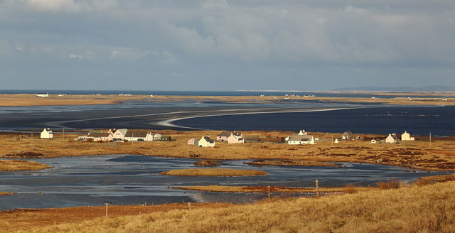
Geirinis
Settlement in Inverness-shire
Scotland
Geirinis
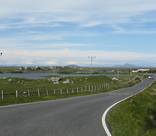
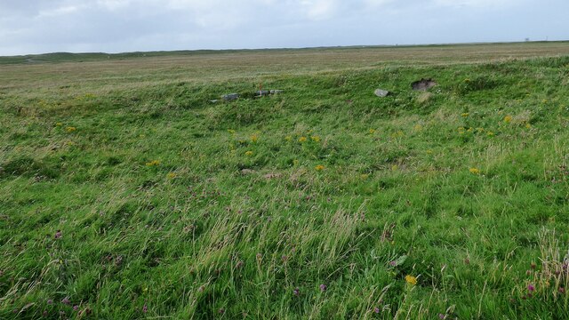
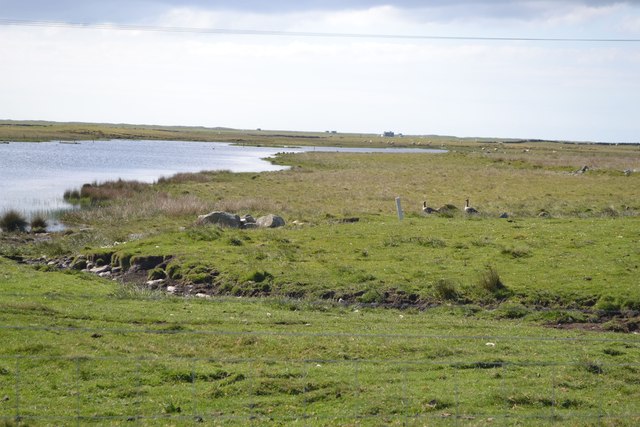
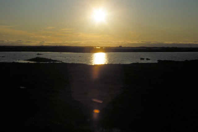
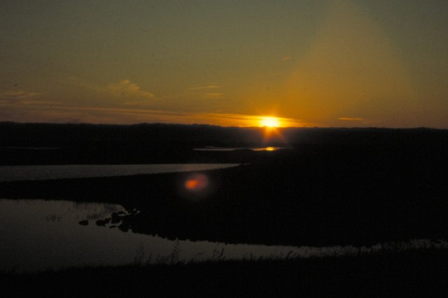
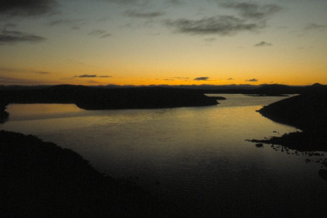
Geirinis is a small village located in the county of Inverness-shire, Scotland. Situated on the banks of the picturesque Loch Ness, Geirinis offers breathtaking views of the surrounding highlands and is a popular tourist destination.
The village is home to a close-knit community of approximately 500 residents. Geirinis is known for its tranquil and unspoiled beauty, making it an ideal retreat for those seeking a peaceful getaway. The area is also rich in history, with several ancient ruins and castles nearby, including the iconic Urquhart Castle.
The main economic activities in Geirinis revolve around tourism and agriculture. The village has a few small shops and local businesses catering to the needs of both residents and visitors. Fishing and boating on Loch Ness are popular recreational activities, attracting enthusiasts from all over the world.
Geirinis is well-connected to the rest of Inverness-shire by road and public transportation, making it easily accessible for tourists. The village also offers a range of accommodation options, including hotels, bed and breakfasts, and self-catering cottages.
In terms of amenities, Geirinis has a primary school, a community center, and a post office, providing essential services to the local population. The village also hosts various cultural and social events throughout the year, promoting a sense of community and belonging.
Overall, Geirinis is a charming village with stunning natural beauty and a rich history. Whether you are seeking tranquility, outdoor activities, or a glimpse into Scotland's past, Geirinis is a destination worth exploring.
If you have any feedback on the listing, please let us know in the comments section below.
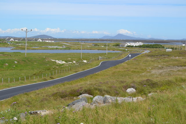
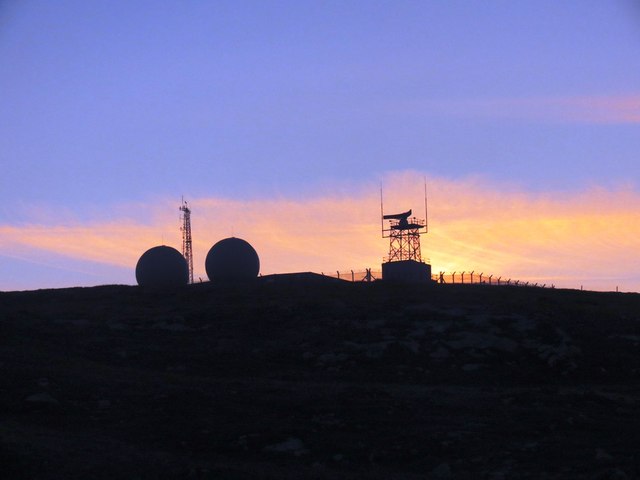
Geirinis Images
Images are sourced within 2km of 57.352903/-7.3717062 or Grid Reference NF7741. Thanks to Geograph Open Source API. All images are credited.
Geirinis is located at Grid Ref: NF7741 (Lat: 57.352903, Lng: -7.3717062)
Unitary Authority: Na h-Eileanan an Iar
Police Authority: Highlands and Islands
Also known as: Gerinish
What 3 Words
///clasping.penny.footsteps. Near Balivanich, Na h-Eileanan Siar
Nearby Locations
Related Wikis

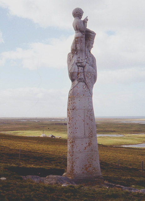
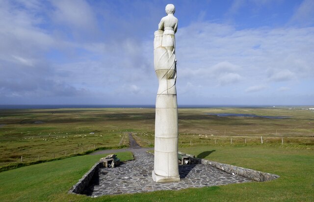
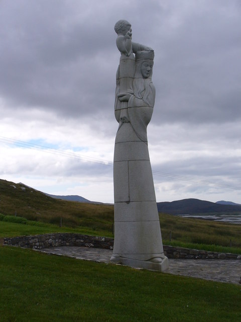
Our Lady of the Isles
Our Lady of the Isles (Gaelic: Moire ro Naomh nan Eilean or Bana Thighearna nan Eilean) is a sculpture of the Madonna and Child, on South Uist in the Outer...

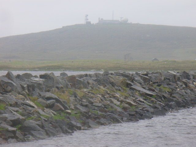
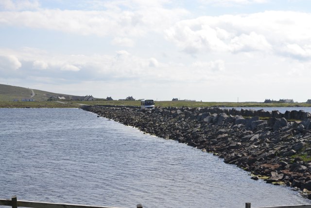
Loch Bee
Loch Bì, sometimes anglicised as Loch Bee, is the largest loch on the island of South Uist in the Outer Hebrides of Scotland. It lies at the northern end...

Carnan (townland)
Carnan is a townland in County Tyrone, Northern Ireland. It is situated in the historic barony of Dungannon Upper and the civil parish of Arboe and covers...

South Uist Machair and Lochs
The South Uist Machair and Lochs is a protected wetland area on the west coast of South Uist in the Outer Hebrides of Scotland. A total of 5,019 hectares...
Nearby Amenities
Located within 500m of 57.352903,-7.3717062Have you been to Geirinis?
Leave your review of Geirinis below (or comments, questions and feedback).