Dùn Mòr
Heritage Site in Inverness-shire
Scotland
Dùn Mòr
Dùn Mòr, located in Inverness-shire, Scotland, is a remarkable heritage site renowned for its historical significance and breathtaking natural beauty. Perched atop a steep hill, Dùn Mòr is an ancient Iron Age fort that offers a glimpse into Scotland's rich past.
The fort, dating back to the 1st millennium BC, is situated on a strategically advantageous location, providing panoramic views of the surrounding countryside. It is believed to have served as a defensive structure for the local inhabitants, protecting them from potential invasions. The site contains the remains of stone walls that once encircled the fort, serving as a testament to the architectural expertise of its ancient builders.
Visitors to Dùn Mòr can explore the fort's ruins and immerse themselves in the atmosphere of an ancient stronghold. As they wander through the site, they can imagine the daily lives of the people who once called Dùn Mòr their home, marveling at their ingenuity and resourcefulness.
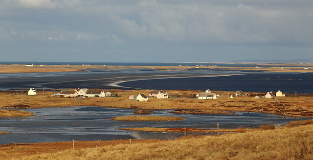
Additionally, the surrounding landscape adds to the allure of Dùn Mòr. The hill offers stunning views of the Highlands, with rolling green hills and distant mountain ranges stretching as far as the eye can see. The site's natural beauty attracts nature enthusiasts and photographers, who come to capture the awe-inspiring scenery.
Dùn Mòr is a cherished heritage site that serves as a reminder of Scotland's ancient past. Its historical significance, combined with its picturesque setting, makes it a must-visit destination for those seeking to delve into the rich cultural heritage of the region.
If you have any feedback on the listing, please let us know in the comments section below.
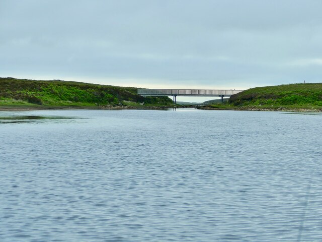
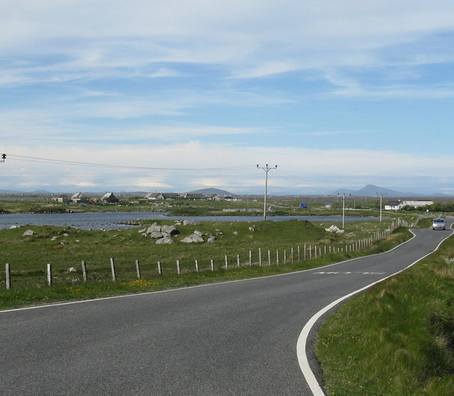
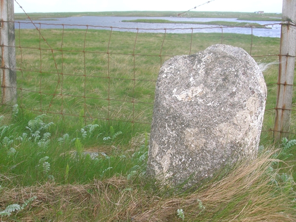
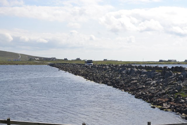
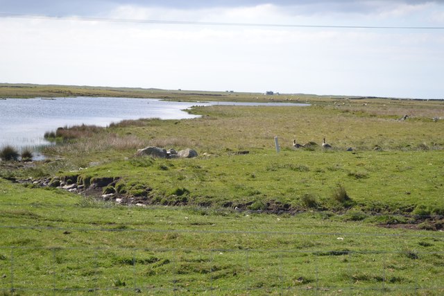
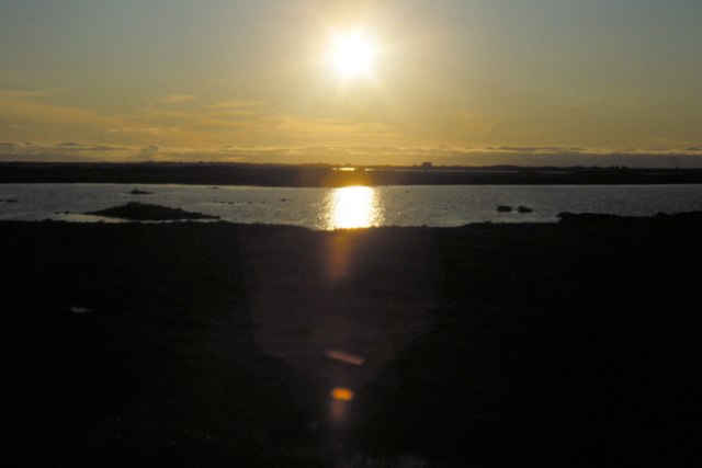
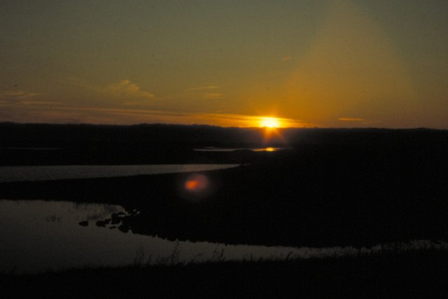
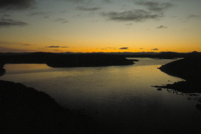
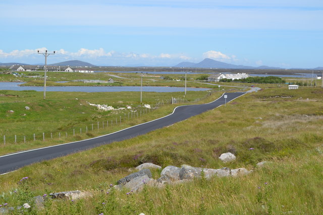
Dùn Mòr Images
Images are sourced within 2km of 57.35/-7.363 or Grid Reference NF7741. Thanks to Geograph Open Source API. All images are credited.
Dùn Mòr is located at Grid Ref: NF7741 (Lat: 57.35, Lng: -7.363)
Unitary Authority: Na h-Eileanan an Iar
Police Authority: Highlands and Islands
What 3 Words
///thrashed.chef.firmly. Near Balivanich, Na h-Eileanan Siar
Nearby Locations
Related Wikis

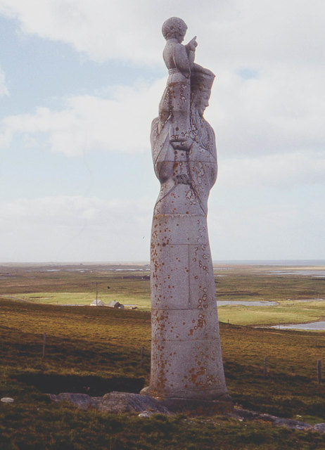
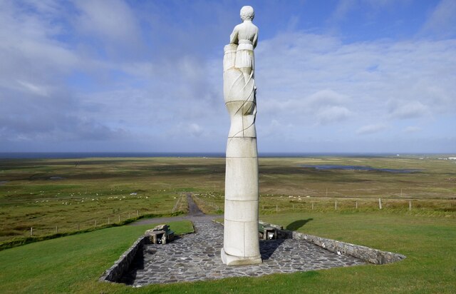
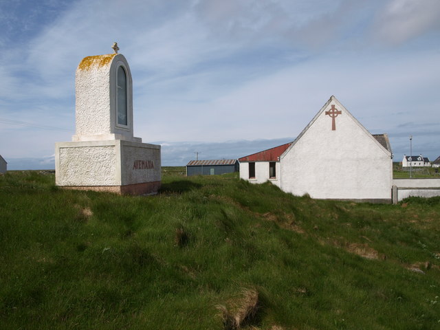
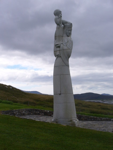
Our Lady of the Isles
Our Lady of the Isles (Gaelic: Moire ro Naomh nan Eilean or Bana Thighearna nan Eilean) is a sculpture of the Madonna and Child, on South Uist in the Outer...

Carnan (townland)
Carnan is a townland in County Tyrone, Northern Ireland. It is situated in the historic barony of Dungannon Upper and the civil parish of Arboe and covers...

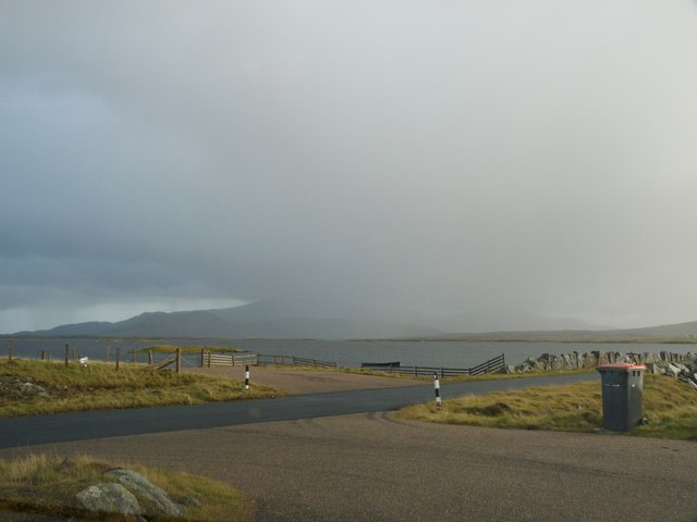
Loch Bee
Loch Bì, sometimes anglicised as Loch Bee, is the largest loch on the island of South Uist in the Outer Hebrides of Scotland. It lies at the northern end...

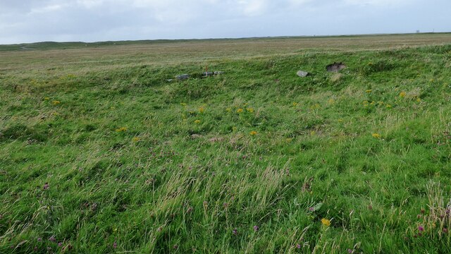
South Uist Machair and Lochs
The South Uist Machair and Lochs is a protected wetland area on the west coast of South Uist in the Outer Hebrides of Scotland. A total of 5,019 hectares...
Nearby Amenities
Located within 500m of 57.35,-7.363Have you been to Dùn Mòr?
Leave your review of Dùn Mòr below (or comments, questions and feedback).