Loch an Dùin Mhòir
Lake, Pool, Pond, Freshwater Marsh in Inverness-shire
Scotland
Loch an Dùin Mhòir
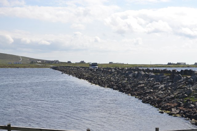
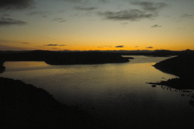
Loch an Dùin Mhòir is a picturesque freshwater loch located in Inverness-shire, Scotland. Situated amidst the stunning Scottish Highlands, this body of water is known for its beauty and tranquility. The loch stretches over an approximate area of 2 square kilometers and is surrounded by rolling hills and lush greenery.
With a maximum depth of around 15 meters, Loch an Dùin Mhòir offers ample space for various recreational activities such as fishing and boating. The loch is home to a diverse range of fish species, including brown trout and pike, making it a popular spot for anglers. Fishing enthusiasts are drawn to the calm waters and the opportunity to catch some of Scotland's finest fish.
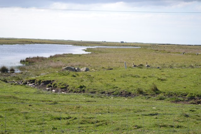
The surrounding area of Loch an Dùin Mhòir is abundant in wildlife, providing a haven for nature lovers. The loch is often frequented by birdwatchers who come to observe a variety of bird species, including common sandpipers and great crested grebes.
Nature trails and hiking paths meander around the loch, offering visitors the chance to explore the scenic surroundings. The area is rich in flora and fauna, with vibrant wildflowers and native plants decorating the landscape.
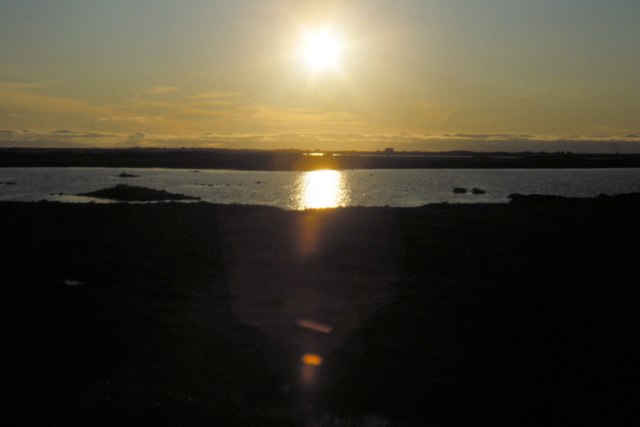
Loch an Dùin Mhòir is a perfect destination for those seeking tranquility and natural beauty. Its idyllic setting, coupled with the diverse range of activities it offers, makes it a sought-after spot for both locals and tourists alike.
If you have any feedback on the listing, please let us know in the comments section below.
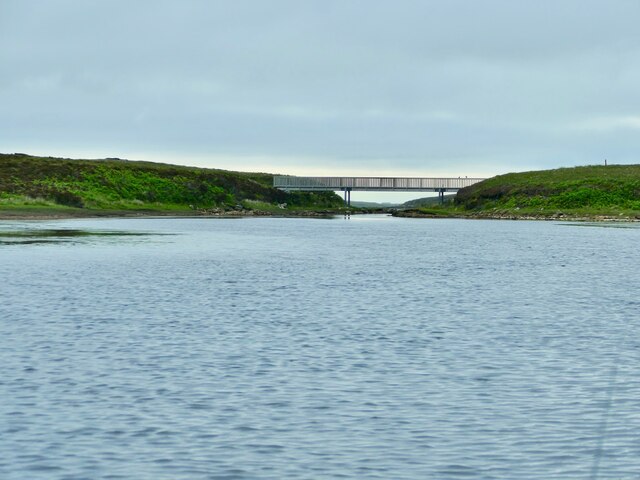
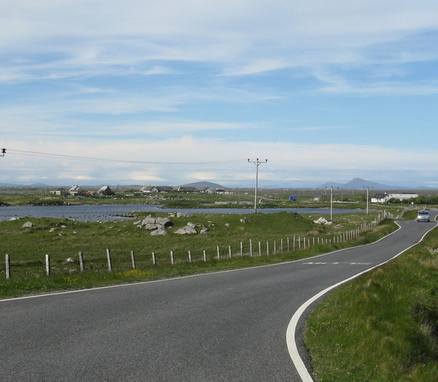
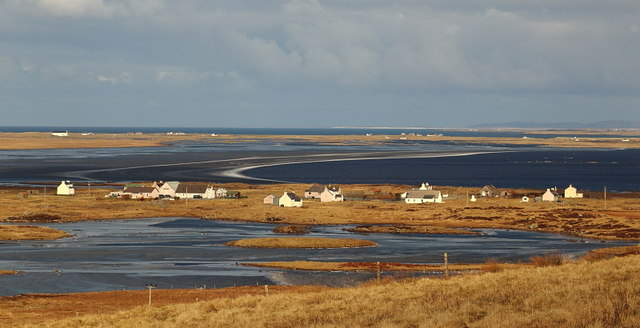
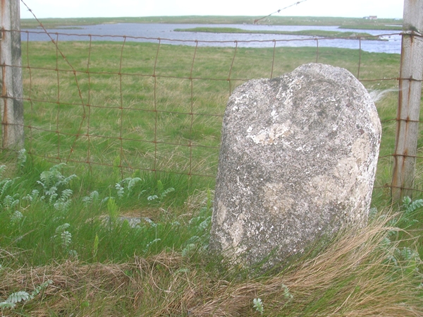
Loch an Dùin Mhòir Images
Images are sourced within 2km of 57.349268/-7.3630829 or Grid Reference NF7741. Thanks to Geograph Open Source API. All images are credited.
Loch an Dùin Mhòir is located at Grid Ref: NF7741 (Lat: 57.349268, Lng: -7.3630829)
Unitary Authority: Na h-Eileanan an Iar
Police Authority: Highlands and Islands
What 3 Words
///snowballs.skate.greyhound. Near Balivanich, Na h-Eileanan Siar
Nearby Locations
Related Wikis

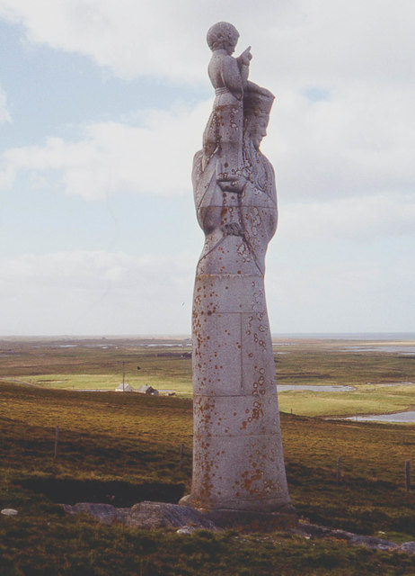
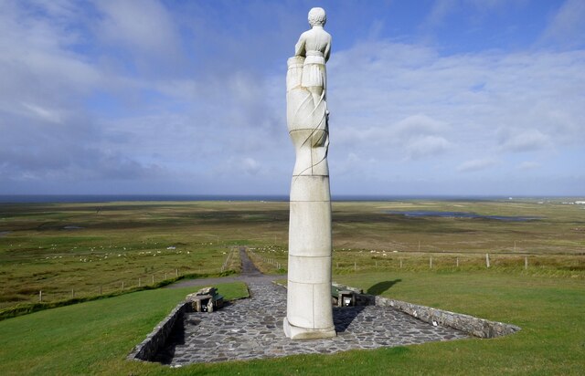
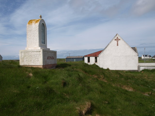
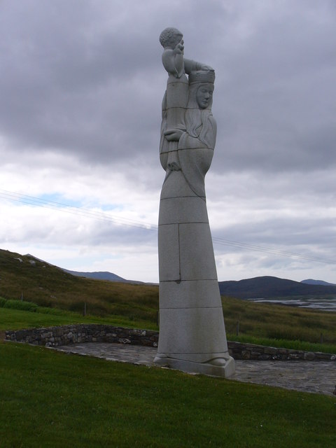
Our Lady of the Isles
Our Lady of the Isles (Gaelic: Moire ro Naomh nan Eilean or Bana Thighearna nan Eilean) is a sculpture of the Madonna and Child, on South Uist in the Outer...

Carnan (townland)
Carnan is a townland in County Tyrone, Northern Ireland. It is situated in the historic barony of Dungannon Upper and the civil parish of Arboe and covers...

Loch Bee
Loch Bì, sometimes anglicised as Loch Bee, is the largest loch on the island of South Uist in the Outer Hebrides of Scotland. It lies at the northern end...

South Uist Machair and Lochs
The South Uist Machair and Lochs is a protected wetland area on the west coast of South Uist in the Outer Hebrides of Scotland. A total of 5,019 hectares...
Nearby Amenities
Located within 500m of 57.349268,-7.3630829Have you been to Loch an Dùin Mhòir?
Leave your review of Loch an Dùin Mhòir below (or comments, questions and feedback).