Dùn Mòr
Island in Inverness-shire
Scotland
Dùn Mòr
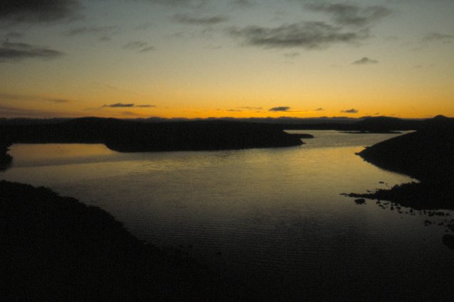
Dùn Mòr is a small island located in Inverness-shire, Scotland. Situated off the west coast of the Scottish Highlands, this island is known for its stunning natural beauty and rich historical significance.
Covering an area of approximately 100 acres, Dùn Mòr is characterized by rugged cliffs, pristine beaches, and rolling green hills. The island is home to a diverse range of flora and fauna, including seabirds, seals, and various species of wildflowers. The surrounding clear waters offer excellent opportunities for fishing and water sports.
The main attraction on Dùn Mòr is the ancient fortress that stands proudly atop its highest hill. Dating back to the Iron Age, this hillfort is a testament to the island's historical importance. Visitors can explore the ruins of the fortress and learn about the island's past through informative displays and guided tours.
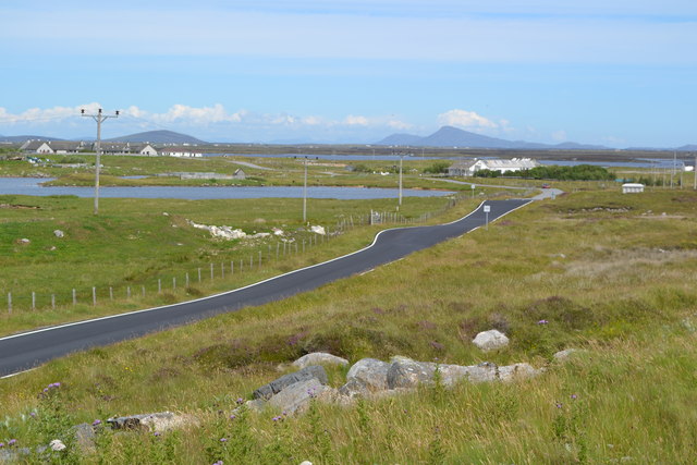
In addition to its historical significance, Dùn Mòr is also a popular destination for outdoor enthusiasts. Hiking and cycling trails crisscross the island, offering breathtaking views of the surrounding landscapes. The island's secluded beaches provide opportunities for relaxation and sunbathing, while its clear waters are perfect for snorkeling and diving.
Access to Dùn Mòr is via a short ferry ride from the mainland. The island has limited accommodation options, including a small guesthouse and a camping site. Visitors are advised to bring their own supplies, as there are no shops or restaurants on the island.
Overall, Dùn Mòr is a hidden gem in Inverness-shire, offering a perfect blend of natural beauty, historical significance, and outdoor activities.
If you have any feedback on the listing, please let us know in the comments section below.
Dùn Mòr Images
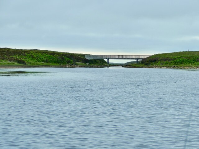
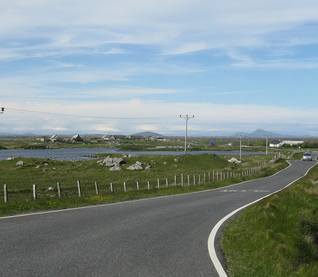
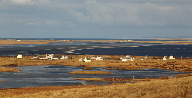
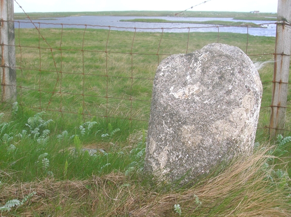
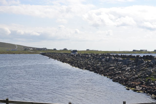
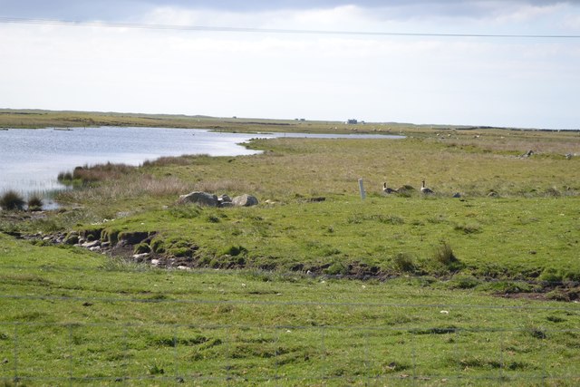
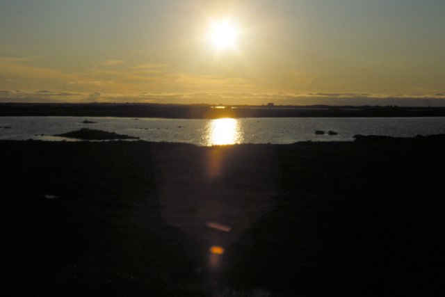
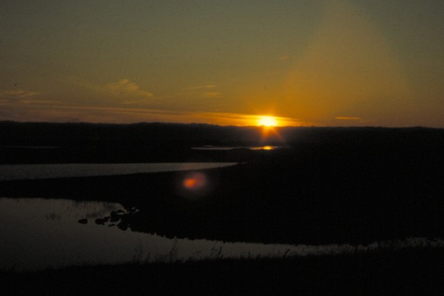
Images are sourced within 2km of 57.349472/-7.3631461 or Grid Reference NF7741. Thanks to Geograph Open Source API. All images are credited.
Dùn Mòr is located at Grid Ref: NF7741 (Lat: 57.349472, Lng: -7.3631461)
Unitary Authority: Na h-Eileanan an Iar
Police Authority: Highlands and Islands
What 3 Words
///headboard.shams.chairs. Near Balivanich, Na h-Eileanan Siar
Nearby Locations
Related Wikis

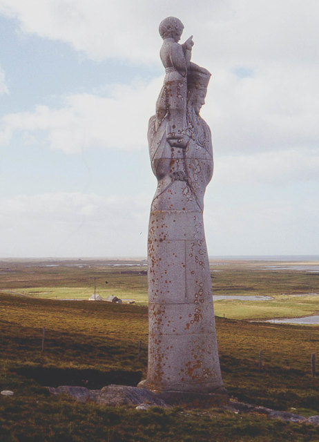
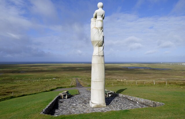
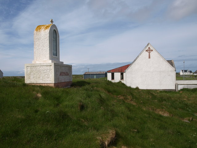
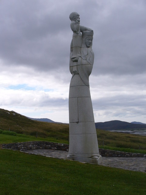
Our Lady of the Isles
Our Lady of the Isles (Gaelic: Moire ro Naomh nan Eilean or Bana Thighearna nan Eilean) is a sculpture of the Madonna and Child, on South Uist in the Outer...

Carnan (townland)
Carnan is a townland in County Tyrone, Northern Ireland. It is situated in the historic barony of Dungannon Upper and the civil parish of Arboe and covers...

Loch Bee
Loch Bì, sometimes anglicised as Loch Bee, is the largest loch on the island of South Uist in the Outer Hebrides of Scotland. It lies at the northern end...

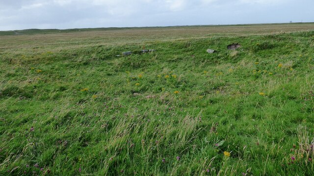
South Uist Machair and Lochs
The South Uist Machair and Lochs is a protected wetland area on the west coast of South Uist in the Outer Hebrides of Scotland. A total of 5,019 hectares...
Nearby Amenities
Located within 500m of 57.349472,-7.3631461Have you been to Dùn Mòr?
Leave your review of Dùn Mòr below (or comments, questions and feedback).