West Gerinish
Settlement in Inverness-shire
Scotland
West Gerinish
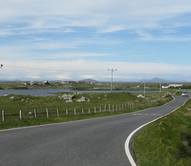
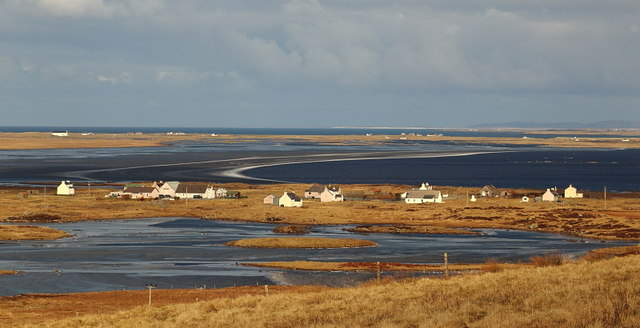
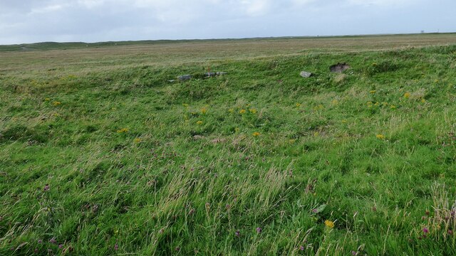
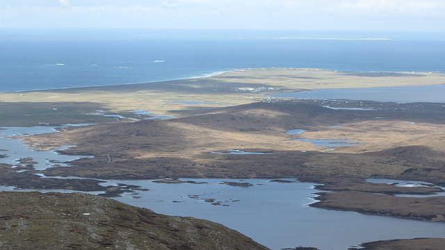
West Gerinish is a small village located in the county of Inverness-shire, in the Scottish Highlands. Situated on the western coast of the Isle of Skye, West Gerinish is known for its breathtaking natural beauty and tranquil surroundings. The village is nestled amidst rolling hills and rugged landscapes, offering residents and visitors alike a picturesque setting.
West Gerinish is home to a close-knit community, with a population of approximately 100 people. The village primarily consists of traditional stone cottages, giving it a charming and traditional atmosphere. The residents of West Gerinish are known for their friendliness and warm hospitality, making visitors feel welcome.
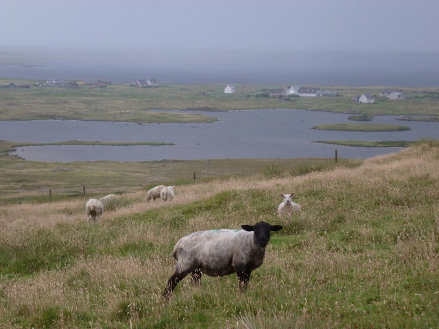
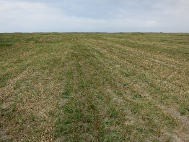
The main economic activities in West Gerinish revolve around agriculture and fishing. The fertile lands surrounding the village are used for farming, mainly sheep and cattle rearing. Fishing is also an important industry, with the village benefiting from its coastal location. The local fishermen bring in a variety of fresh seafood, including lobsters and crabs, which are highly sought after in the region.
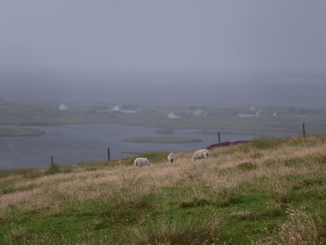
Nature enthusiasts will find plenty to explore in West Gerinish, with the nearby Loch Bracadale offering opportunities for fishing and boating. The surrounding hills and moors are ideal for hiking and wildlife spotting, with red deer, golden eagles, and otters commonly sighted in the area.
Overall, West Gerinish is a peaceful and idyllic village, offering a true taste of rural Highland life. Its stunning natural surroundings and welcoming community make it an appealing destination for both residents and tourists seeking a tranquil escape.
If you have any feedback on the listing, please let us know in the comments section below.
West Gerinish Images
Images are sourced within 2km of 57.344604/-7.3715395 or Grid Reference NF7741. Thanks to Geograph Open Source API. All images are credited.
West Gerinish is located at Grid Ref: NF7741 (Lat: 57.344604, Lng: -7.3715395)
Unitary Authority: Na h-Eileanan an Iar
Police Authority: Highlands and Islands
What 3 Words
///limiting.wove.formally. Near Balivanich, Na h-Eileanan Siar
Nearby Locations
Related Wikis

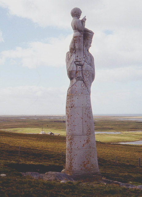
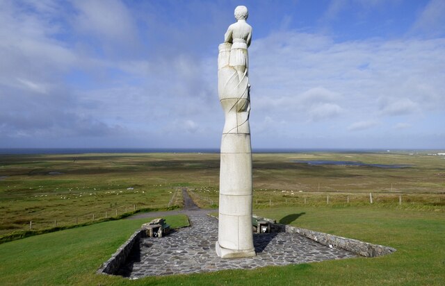
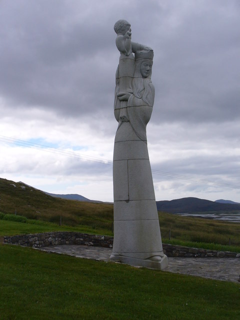
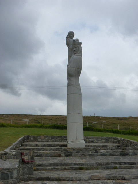
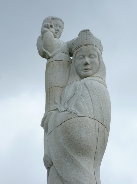
Our Lady of the Isles
Our Lady of the Isles (Gaelic: Moire ro Naomh nan Eilean or Bana Thighearna nan Eilean) is a sculpture of the Madonna and Child, on South Uist in the Outer...

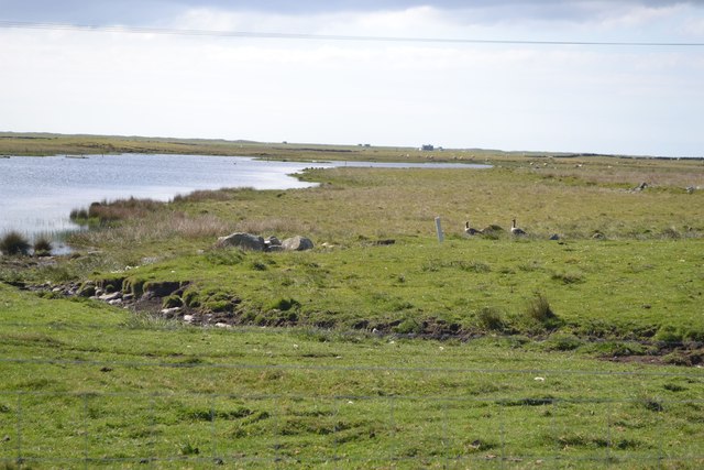
Loch Bee
Loch Bì, sometimes anglicised as Loch Bee, is the largest loch on the island of South Uist in the Outer Hebrides of Scotland. It lies at the northern end...

Carnan (townland)
Carnan is a townland in County Tyrone, Northern Ireland. It is situated in the historic barony of Dungannon Upper and the civil parish of Arboe and covers...

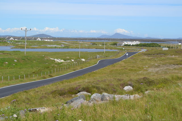
South Uist Machair and Lochs
The South Uist Machair and Lochs is a protected wetland area on the west coast of South Uist in the Outer Hebrides of Scotland. A total of 5,019 hectares...
Nearby Amenities
Located within 500m of 57.344604,-7.3715395Have you been to West Gerinish?
Leave your review of West Gerinish below (or comments, questions and feedback).