Dùn Mòr

Heritage Site in Inverness-shire

Scotland

Dùn Mòr

Sand, Seaweed and Rocks at Ceardach Ruadh
Sand, Seaweed and Rocks at Ceardach Ruadh Credit: Sandy Gerrard

Dùn Mòr, located in Inverness-shire, Scotland, is a historic heritage site of significant cultural and archaeological importance. Perched atop a rugged cliff overlooking the North Sea, Dùn Mòr stands as a testament to the ancient inhabitants of the region, dating back to the Iron Age.

The site consists of the remains of an imposing fortification, believed to have been constructed around 200 BC. The fort, built with large stones and earthworks, spans an area of approximately 2 acres. Its strategic location offers panoramic views of the surrounding landscape, making it an ideal vantage point for defense and surveillance.

Dùn Mòr's defensive features include double-walled ramparts, stone bastions, and a well-preserved entranceway. Archaeological excavations have revealed evidence of dwellings within the fort, indicating that it may have served as a residential settlement as well. The remains of hearths, storage pits, and other structures hint at the daily life and activities of its Iron Age inhabitants.

Visitors to Dùn Mòr can explore the site's ruins and experience the sense of awe and wonder that its ancient builders must have felt. The breathtaking views of the surrounding rugged coastline and the distant mountains add to the site's allure. Guided tours and informational displays provide insights into the history, architecture, and significance of Dùn Mòr, giving visitors a deeper understanding of its cultural heritage.

Dùn Mòr is not only a remarkable archaeological site but also a place of natural beauty, offering a glimpse into the past and a connection to the ancient people who once called this place home.

If you have any feedback on the listing, please let us know in the comments section below.

Dùn Mòr Images

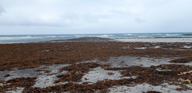
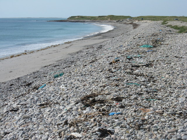
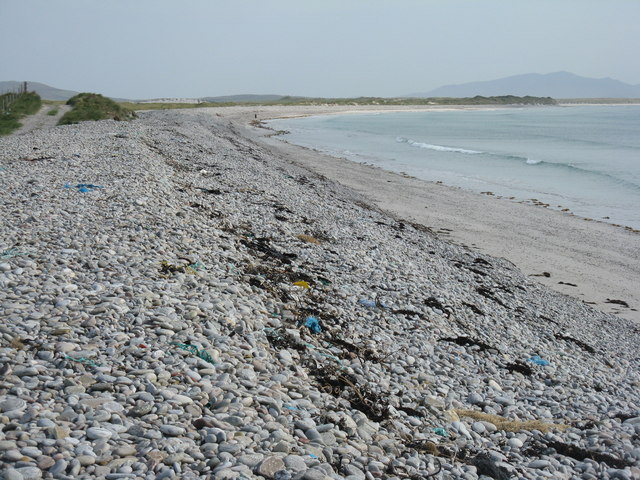
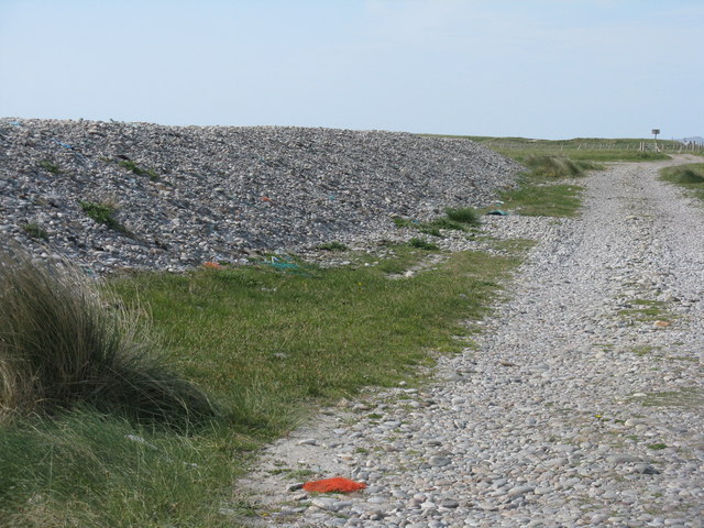
Images are sourced within 2km of 57.538/-7.373 or Grid Reference NF7862. Thanks to Geograph Open Source API. All images are credited.
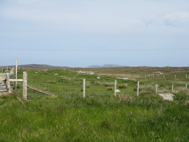
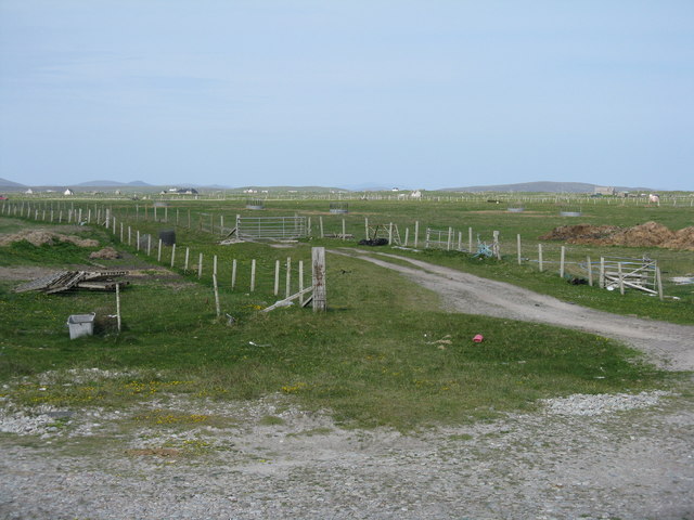
Sand, Seaweed and Rocks at Ceardach Ruadh
Houses at Samhla
Houses at Samhla
Baleshare - North Uist Causeway Looking east from Samhla to North Uist. Interestingly, although both sides are open to the sea, there is water to the south but it was dry on the north.
Baleshare - North Uist Causeway
Looking east from Samhla to North Uist. Interestingly, although both sides are open to the sea, there is water to the south but it was dry on the north.
Shore at Samhla Looking south from the west end of the causeway.
Shore at Samhla
Looking south from the west end of the causeway.
Storm beach at Ceardach Ruadh The western shore of Baleshare/Baile Sear, facing the Atlantic Ocean. Note the debris from, mostly I suspect, the fishing industry.
Storm beach at Ceardach Ruadh
The western shore of Baleshare/Baile Sear, facing the Atlantic Ocean. Note the debris from, mostly I suspect, the fishing industry.
Atlantic storm beach on Baleshare/Baile Sear Looking southeast from the top of the stony bank created by stormy seas.
Atlantic storm beach on Baleshare/Baile Sear
Looking southeast from the top of the stony bank created by stormy seas.
Behind the storm beach of Ceardach Ruadh A track runs between the 'dune' and the fenced fields.
Behind the storm beach of Ceardach Ruadh
A track runs between the 'dune' and the fenced fields.
Beware at Baleshare RSPB notice about Little Terns nesting on the beach. Reseeded machair land is beyond, and the beach is off to the right.
Beware at Baleshare
RSPB notice about Little Terns nesting on the beach. Reseeded machair land is beyond, and the beach is off to the right.
Reseeded machair  Looking northeast across flat sandy machair land.
Reseeded machair
Looking northeast across flat sandy machair land.
Stony beach at Baleshare Looking northwest to Ceardach Ruadh, Teanna Mhachair and the Sound of Monach.
Stony beach at Baleshare
Looking northwest to Ceardach Ruadh, Teanna Mhachair and the Sound of Monach.
Farmhouse on Baleshare The peak in the distance, to the left, is Eaval on North Uist.
Farmhouse on Baleshare
The peak in the distance, to the left, is Eaval on North Uist.
Machair fields at Sloch Sabhaidh On the flat sandy island of Baleshare/Baile Sear. The distant hill is Eaval on North Uist [11.5km].
Machair fields at Sloch Sabhaidh
On the flat sandy island of Baleshare/Baile Sear. The distant hill is Eaval on North Uist [11.5km].
Fence at Ceardach Ruadh Looking inland from the west coast of Baleshare.
Fence at Ceardach Ruadh
Looking inland from the west coast of Baleshare.
Looking inland from Sloc Sabhaidh Machair pasture on Baleshare, looking east to Eaval, about 15km away.
Looking inland from Sloc Sabhaidh
Machair pasture on Baleshare, looking east to Eaval, about 15km away.
Pasture on Baleshare/Baile Sear Looking northeast from the road to Teanna Mhachair on the west side of the island. The high land beyond will be on North Uist.
Pasture on Baleshare/Baile Sear
Looking northeast from the road to Teanna Mhachair on the west side of the island. The high land beyond will be on North Uist.
Machair on Baleshare/Baile Sear Looking northwest to a slight rise in the ground, on which there are the remains of a Dun.
Machair on Baleshare/Baile Sear
Looking northwest to a slight rise in the ground, on which there are the remains of a Dun.
The Sound of Monach at Baleshare Looking northwest to Ceardach Ruadh and Teanna Mhachair.
The Sound of Monach at Baleshare
Looking northwest to Ceardach Ruadh and Teanna Mhachair.
Gateway at Sloc Sabhaidh The coastal end of a track that leads across the machair to the road to the causeway back to North Uist.
Gateway at Sloc Sabhaidh
The coastal end of a track that leads across the machair to the road to the causeway back to North Uist.
Show me another place!

Dùn Mòr is located at Grid Ref: NF7862 (Lat: 57.538, Lng: -7.373)

Unitary Authority: Na h-Eileanan an Iar

Police Authority: Highlands and Islands

What 3 Words

///thrillers.merge.steady. Near Balivanich, Na h-Eileanan Siar

Related Wikis

Baleshare

Baleshare (Scottish Gaelic: Baile Sear) is a flat tidal island in the Outer Hebrides of Scotland. Baleshare lies to the south-west of North Uist. Its economics...

Kirkibost

Kirkibost (Scottish Gaelic: Eilean Chirceaboist) is a low-lying island west of North Uist in the Outer Hebrides of Scotland. == Geography == Kirkibost...

Teampull na Trionaid

Teampull na Trionaid ("trinity church") is a ruined 13th-century Augustinian nunnery at Carinish, on North Uist, in the Outer Hebrides of Scotland. �...

Battle of Carinish

The Battle of Carinish was a Scottish clan battle fought in North Uist in 1601. It was part of a year of feuding between Clan MacLeod of Dunvegan and the...

Carinish

Carinish (Scottish Gaelic: Càirinis), is a hamlet on North Uist, in the Outer Hebrides, Scotland. It is in the south of the island, about two miles (three...

Bail' Iochdrach

Bail' Iochdrach or Baliochrach (Scottish Gaelic: Am Baile Ìochdrach) is a village on Benbecula in the Outer Hebrides, Scotland. Baliochrach is within the...

Ardheisker

Ardheisker (Scottish Gaelic: Àird Heillsgeir) is a settlement on North Uist, in the Outer Hebrides, Scotland. Ardheisker is within the parish of North...

Benbecula Airport

Benbecula Airport (Scottish Gaelic: Port-adhair Bheinn na Faoghla) (IATA: BEB, ICAO: EGPL) is located on the island of Benbecula in the Outer Hebrides...

Nearby Amenities

Located within 500m of 57.538,-7.373
Barrier: cattle_grid
Lat/Long: 57.5395108/-7.3735425
Passing Place
Lat/Long: 57.5350206/-7.3704402
Turning Circle
Lat/Long: 57.5377061/-7.365968
Power: pole
Lat/Long: 57.5389462/-7.3654003
Power: pole
Lat/Long: 57.5342381/-7.3690264
Power: pole
Lat/Long: 57.5349378/-7.3695897
Power: pole
Lat/Long: 57.5354115/-7.3700001
Power: pole
Lat/Long: 57.5359241/-7.3698955
Power: pole
Lat/Long: 57.5366209/-7.3697453
Power: pole
Lat/Long: 57.5372817/-7.3696085
Power: pole
Lat/Long: 57.5379598/-7.369461
Power: pole
Lat/Long: 57.5386595/-7.3693081
Power: pole
Lat/Long: 57.5387617/-7.3679455
Power: pole
Lat/Long: 57.5388495/-7.366701
Power: pole
Lat/Long: 57.5388414/-7.3651597
Power: pole
Lat/Long: 57.5385745/-7.3705043
Power: pole
Lat/Long: 57.538383/-7.3731383
Power: pole
Lat/Long: 57.5385198/-7.3717837
Power: pole
Lat/Long: 57.5383197/-7.3742031
Power: pole
Lat/Long: 57.5382348/-7.375276
Power: pole
Lat/Long: 57.5381585/-7.3765178
Power: pole
Lat/Long: 57.5380577/-7.3778053
Power: pole
Lat/Long: 57.5375466/-7.3783015
Power: pole
Lat/Long: 57.5370456/-7.3787789
Power: pole
Lat/Long: 57.5365575/-7.3792564
Power: pole
Lat/Long: 57.5360407/-7.3803051
Power: pole
Lat/Long: 57.5377654/-7.3737283
Power: pole
Lat/Long: 57.5377798/-7.3728352
Power: pole
Lat/Long: 57.5378/-7.3720761
Passing Place
Lat/Long: 57.5365228/-7.3713822
Passing Place
Lat/Long: 57.5369676/-7.3680214
Barrier: cattle_grid
Lat/Long: 57.5422215/-7.372506
Power: pole
Lat/Long: 57.5419436/-7.3739943
Power: pole
Lat/Long: 57.5412901/-7.3746326
Power: pole
Lat/Long: 57.540697/-7.3752147
Power: pole
Lat/Long: 57.5400305/-7.3758691
Power: pole
Lat/Long: 57.5393798/-7.3765102
Power: pole
Lat/Long: 57.5387017/-7.3771593
Booth: K6
Covered: booth
Disused Amenity: telephone
Man Made: telephone_box
Lat/Long: 57.5376216/-7.3717546
The data included in this document is from www.openstreetmap.org. The data is made available under ODbL.

Have you been to Dùn Mòr?

Leave your review of Dùn Mòr below (or comments, questions and feedback).