Geinas
Settlement in Denbighshire
Wales
Geinas

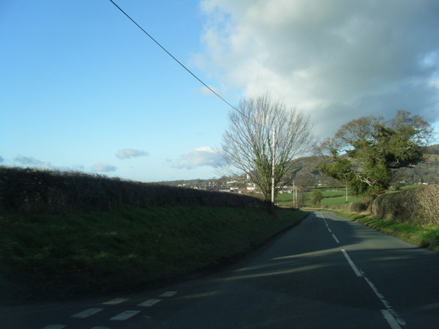
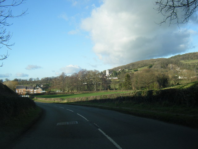
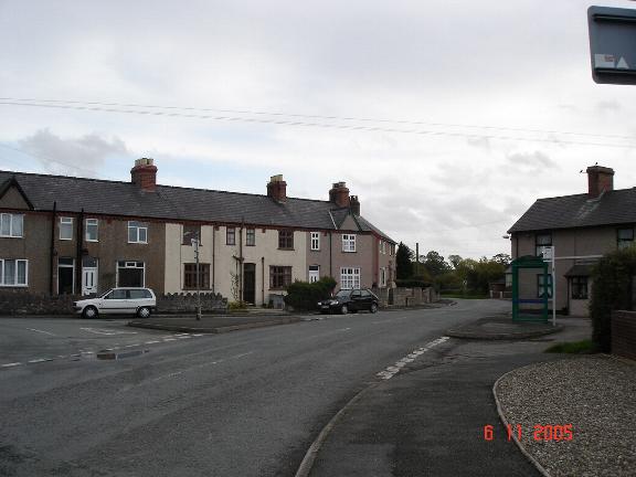
Geinas is a small village located in the county of Denbighshire, Wales. Situated in the heart of the picturesque Vale of Clwyd, Geinas is surrounded by rolling hills and beautiful countryside, making it an attractive destination for nature lovers and outdoor enthusiasts.
The village itself is home to a tight-knit community, with a population of around 500 residents. Geinas has a rich history, dating back centuries. The area was once predominantly agricultural, with farming being the primary source of income for the locals. However, in recent years, the village has seen a shift towards more diverse economic activities, including tourism and small-scale businesses.
Geinas boasts a number of amenities for its residents, including a local pub, a community center, and a primary school, ensuring that the villagers have access to essential services. Additionally, the village is well-connected to nearby towns and cities, with good transportation links, making it convenient for commuting and accessing other facilities.
One of the main attractions in Geinas is its natural beauty. The surrounding landscape offers breathtaking views and opportunities for outdoor activities such as hiking, cycling, and fishing. Visitors can explore the nearby Clwydian Range, an Area of Outstanding Natural Beauty, which offers stunning walks and panoramic vistas.
In conclusion, Geinas is a charming village nestled in the scenic Vale of Clwyd. With its rich history, strong community spirit, and picturesque surroundings, it is a delightful place to live or visit for those seeking a peaceful and idyllic Welsh countryside experience.
If you have any feedback on the listing, please let us know in the comments section below.
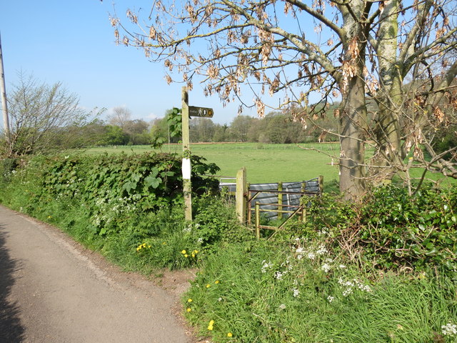
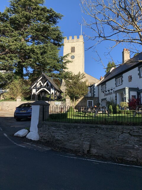
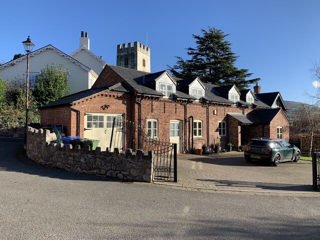
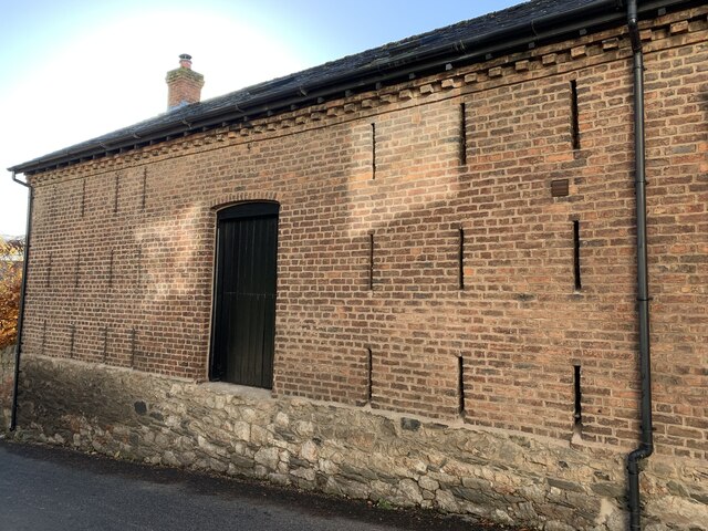
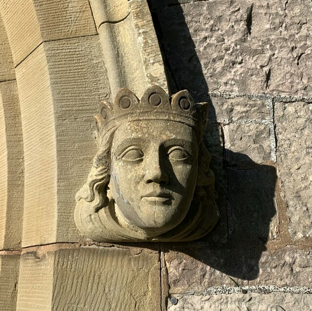
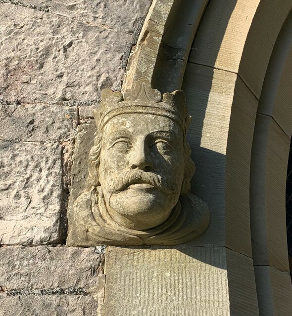
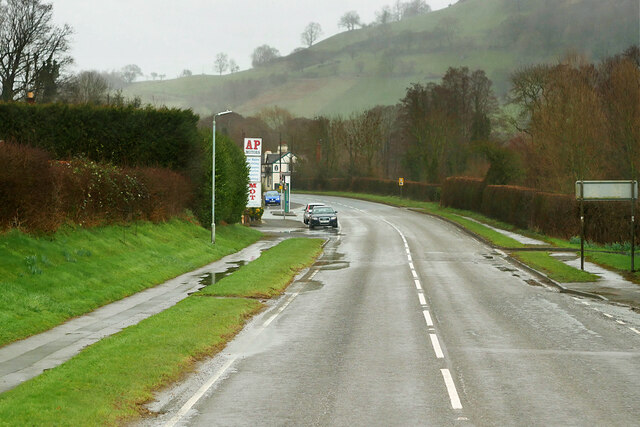
Geinas Images
Images are sourced within 2km of 53.216817/-3.359913 or Grid Reference SJ0969. Thanks to Geograph Open Source API. All images are credited.


Geinas is located at Grid Ref: SJ0969 (Lat: 53.216817, Lng: -3.359913)
Unitary Authority: Denbighshire
Police Authority: North Wales
What 3 Words
///delighted.unloaded.preoccupied. Near Trefnant, Denbighshire
Nearby Locations
Related Wikis
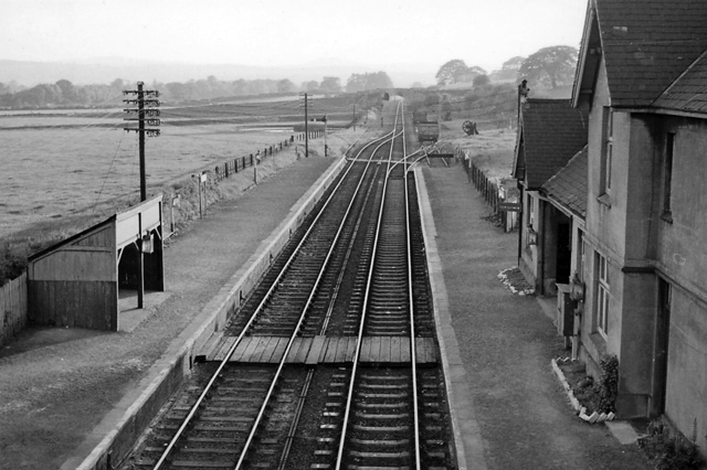
Bodfari railway station
Bodfari railway station was opened on 6 September 1869 by the Mold and Denbigh Junction Railway. Following the Railways Act 1921 the line became part of...

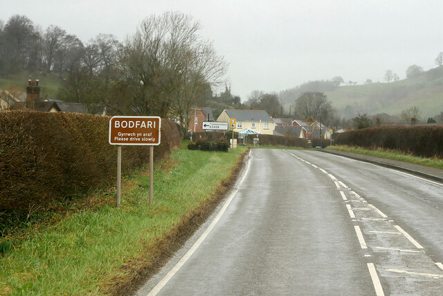
Bodfari
Bodfari is a village and community in Denbighshire, Wales. Until the local government reorganisation of 1974, Bodfari was in the historic county of Flintshire...
Aberwheeler
Aberwheeler (Welsh: Aberchwiler) is a village and community in the Welsh county of Denbighshire, located on the south bank of the River Wheeler (Welsh...

Moel y Gaer, Bodfari
Moel y Gaer (Welsh for "bald hill of the fortress") is an Iron Age hillfort at the northern end of the Clwydian Range, located on a summit overlooking...
Nearby Amenities
Located within 500m of 53.216817,-3.359913Have you been to Geinas?
Leave your review of Geinas below (or comments, questions and feedback).