Aberwheeler
Settlement in Denbighshire
Wales
Aberwheeler

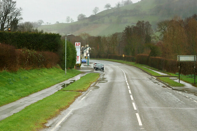
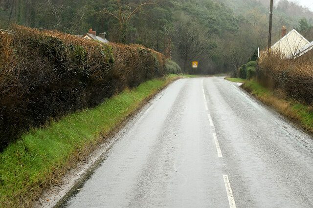
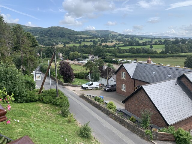
Aberwheeler is a small village located in Denbighshire, Wales. Situated in the northern part of the country, it is nestled in the picturesque Vale of Clwyd. The village is surrounded by rolling hills and offers stunning views of the Welsh countryside.
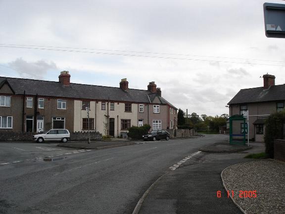
With a population of around 300 residents, Aberwheeler has a tight-knit community feel. The village is predominantly residential, with a mix of traditional Welsh stone cottages and more modern houses. The local architecture is charming and reflects the village's rich history.
Aberwheeler is known for its peaceful and tranquil atmosphere. The village is a popular destination for those seeking a quiet retreat or a base for exploring the nearby attractions. The surrounding countryside offers numerous walking trails, allowing visitors to experience the natural beauty of the area.
Despite its small size, Aberwheeler does have a few amenities for its residents and visitors. There is a local pub, providing a gathering place for socializing and enjoying traditional Welsh hospitality. The village also has a small primary school, ensuring that families have access to education for their children.
For those looking for more extensive facilities, the nearby town of Denbigh is only a short drive away. Denbigh offers a wider range of amenities, including shops, restaurants, and leisure facilities.
Overall, Aberwheeler is a charming village that offers a peaceful and idyllic setting for both residents and visitors alike. With its beautiful scenery and friendly community, it is a hidden gem in the heart of Denbighshire.
If you have any feedback on the listing, please let us know in the comments section below.
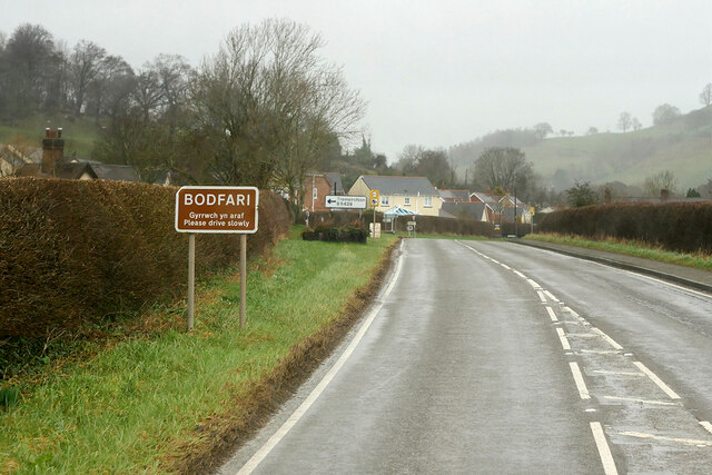
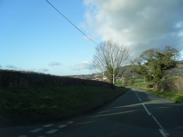
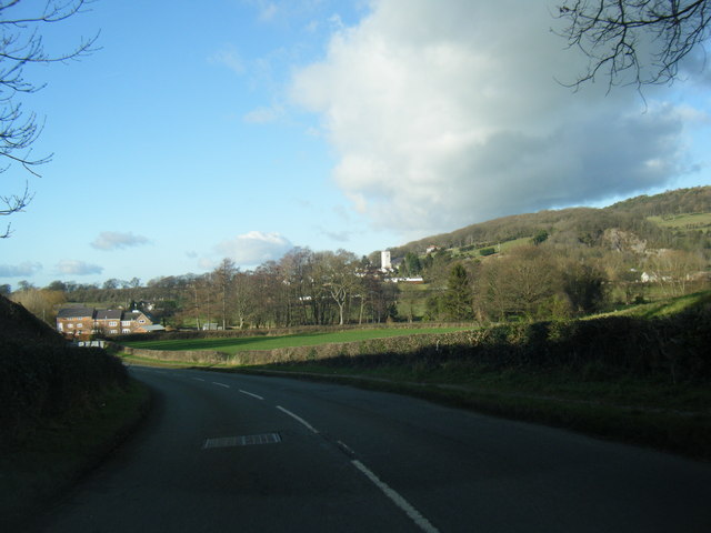
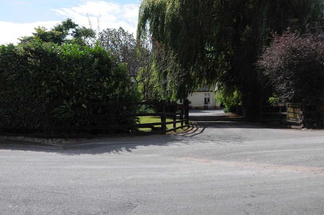
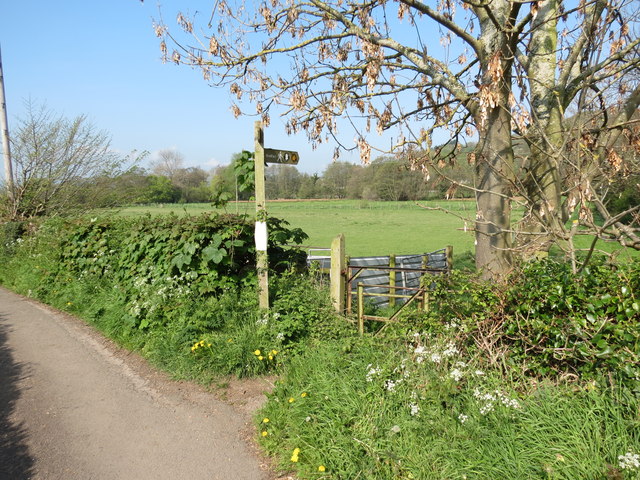
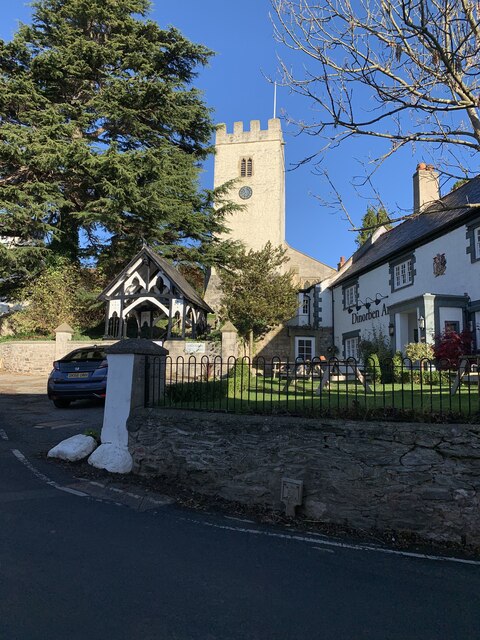
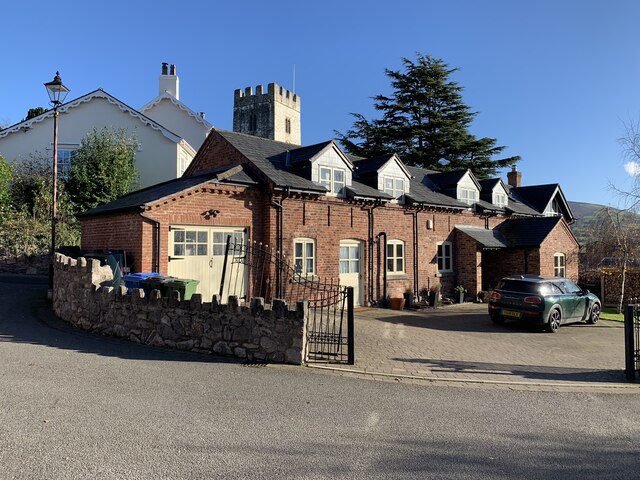
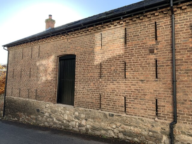
Aberwheeler Images
Images are sourced within 2km of 53.213541/-3.3540381 or Grid Reference SJ0969. Thanks to Geograph Open Source API. All images are credited.


Aberwheeler is located at Grid Ref: SJ0969 (Lat: 53.213541, Lng: -3.3540381)
Unitary Authority: Denbighshire
Police Authority: North Wales
Also known as: Aberchwiler
What 3 Words
///jeeps.vessel.degrading. Near Trefnant, Denbighshire
Nearby Locations
Related Wikis
Aberwheeler
Aberwheeler (Welsh: Aberchwiler) is a village and community in the Welsh county of Denbighshire, located on the south bank of the River Wheeler (Welsh...
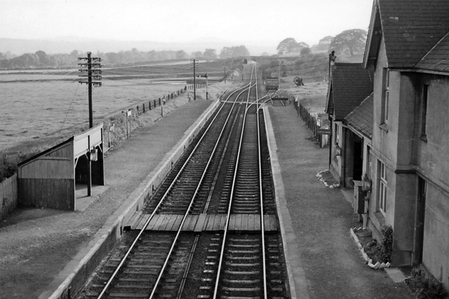
Bodfari railway station
Bodfari railway station was opened on 6 September 1869 by the Mold and Denbigh Junction Railway. Following the Railways Act 1921 the line became part of...

Bodfari
Bodfari is a village and community in Denbighshire, Wales. Until the local government reorganisation of 1974, Bodfari was in the historic county of Flintshire...

Moel y Gaer, Bodfari
Moel y Gaer (Welsh for "bald hill of the fortress") is an Iron Age hillfort at the northern end of the Clwydian Range, located on a summit overlooking...
Nearby Amenities
Located within 500m of 53.213541,-3.3540381Have you been to Aberwheeler?
Leave your review of Aberwheeler below (or comments, questions and feedback).