Aber Rhaeadr
Settlement in Montgomeryshire
Wales
Aber Rhaeadr
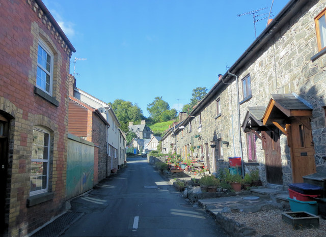
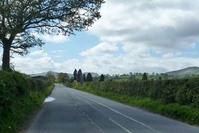
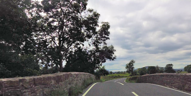
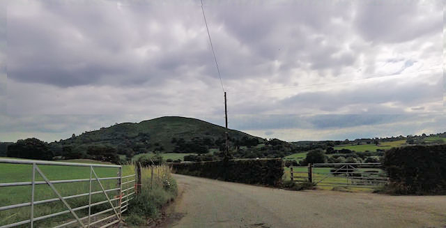
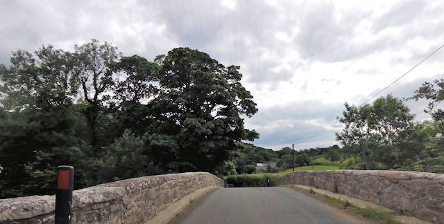
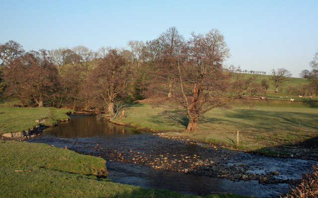
Aber Rhaeadr is a small village located in the county of Montgomeryshire, Wales. Situated in a picturesque valley, it is known for its stunning natural beauty and is a popular destination for outdoor enthusiasts and nature lovers.
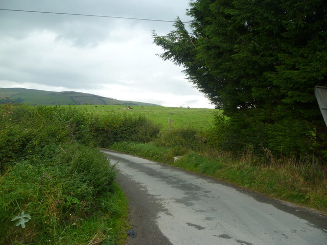
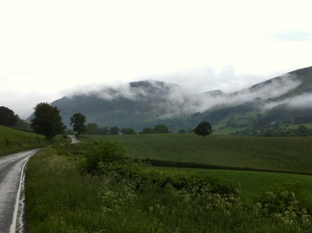
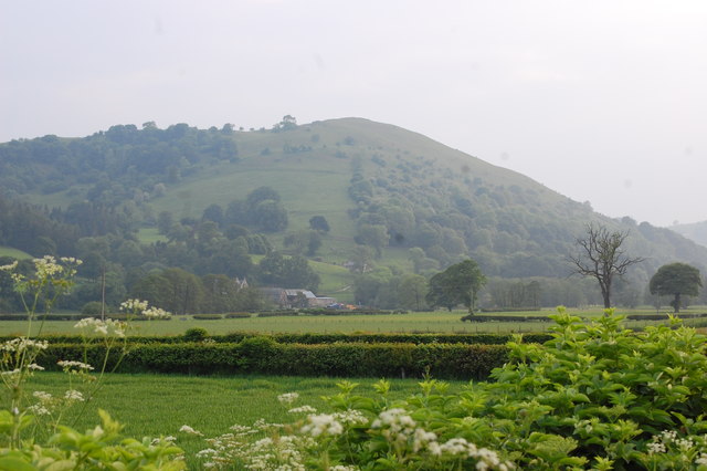
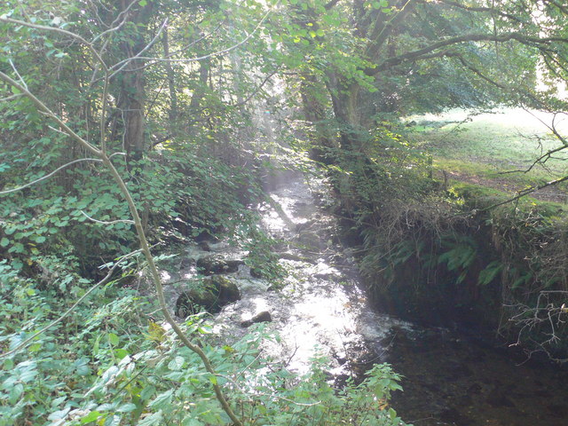
The village is nestled at the base of the Cambrian Mountains, offering breathtaking views of the surrounding hills and forests. One of Aber Rhaeadr's main attractions is its namesake waterfall, Rhaeadr Waterfall, which is the highest waterfall in Wales and a significant landmark in the area. The waterfall cascades down a sheer rock face, creating a mesmerizing spectacle for visitors.
Aber Rhaeadr is also home to a variety of hiking and walking trails, allowing visitors to explore the scenic countryside and enjoy the tranquility of the rural landscape. The village is known for its abundance of wildlife, with opportunities for birdwatching and spotting native species such as otters and red kites.
In terms of amenities, Aber Rhaeadr offers a few local shops and cafes, providing essential services and a place to relax after a day of exploring. The village maintains a strong sense of community, with regular events and gatherings that celebrate the local culture and heritage. Additionally, the nearby town of Llanfyllin offers a wider range of amenities, including supermarkets, restaurants, and historical sites.
Overall, Aber Rhaeadr is a hidden gem in Montgomeryshire, offering visitors a chance to immerse themselves in the natural beauty of the Welsh countryside and experience a peaceful and idyllic way of life.
If you have any feedback on the listing, please let us know in the comments section below.
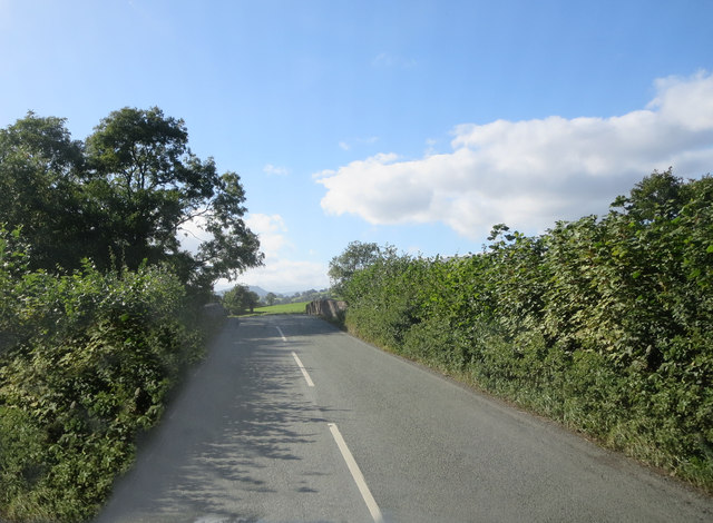
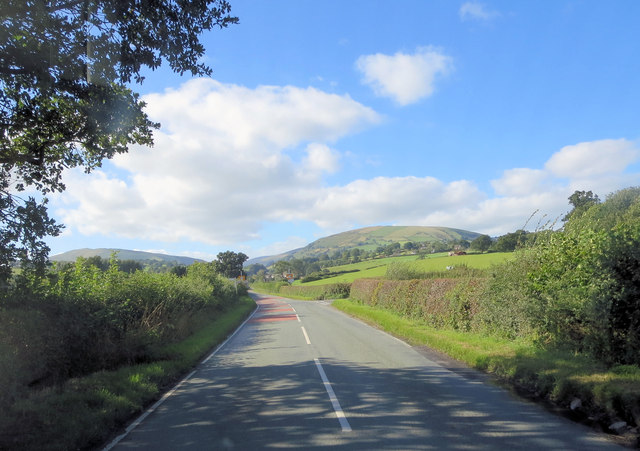
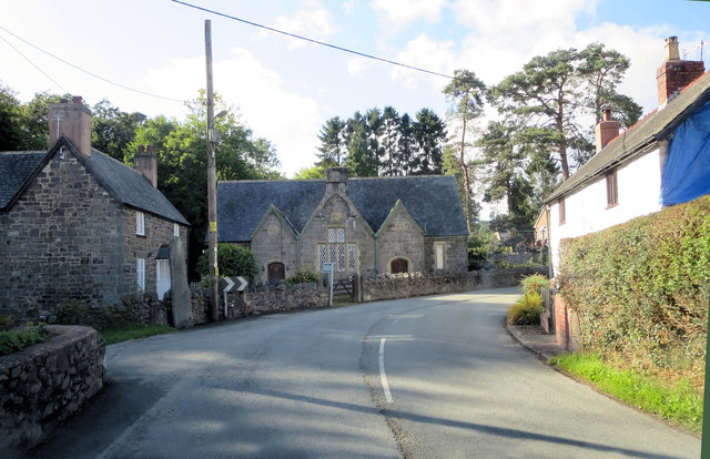
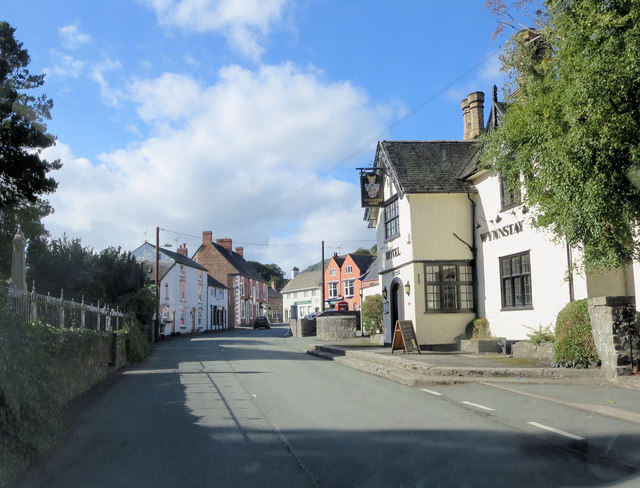
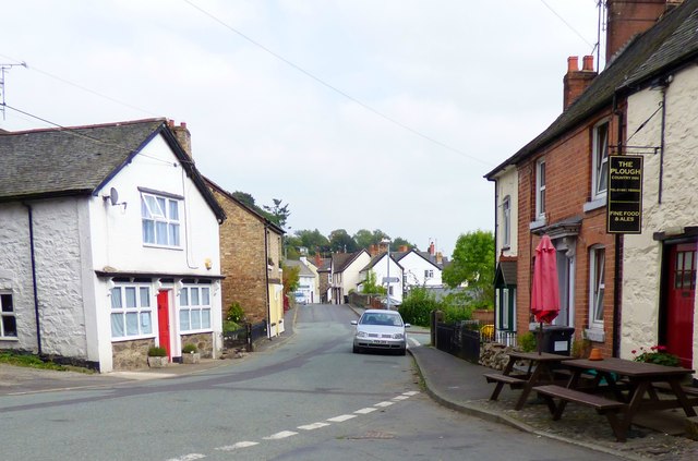
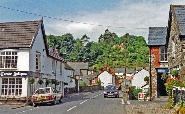
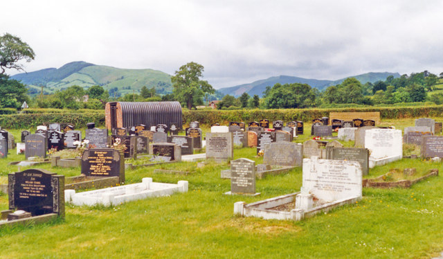
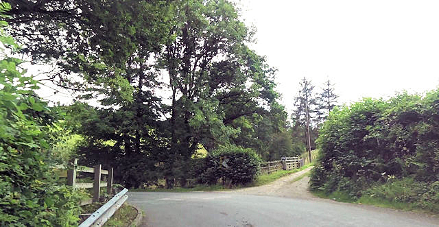
Aber Rhaeadr Images
Images are sourced within 2km of 52.814629/-3.2916895 or Grid Reference SJ1324. Thanks to Geograph Open Source API. All images are credited.
Aber Rhaeadr is located at Grid Ref: SJ1324 (Lat: 52.814629, Lng: -3.2916895)
Unitary Authority: Powys
Police Authority: Dyfed Powys
What 3 Words
///faces.feed.syndicate. Near Llanrhaeadr-ym-Mochnant, Powys
Nearby Locations
Related Wikis
River Rhaeadr
The River Rhaeadr (Welsh: Afon Rhaeadr) is a river in Wales. It starts at the Pistyll Rhaeadr waterfall a few miles from the village of Llanrhaeadr-ym...
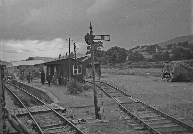
Llanrhaiadr Mochnant railway station
Llanrhaiadr Mochnant railway station was a station near Llanrhaeadr-ym-Mochnant, Powys, Wales, on the Tanat Valley Light Railway. The station opened in...

Llanrhaeadr F.C.
Llanrhaeadr Football Club is a Welsh football club based in Llanrhaeadr-ym-Mochnant, Powys. They currently play in the Ardal NE. The home colours are blue...

Pedairffordd Halt railway station
Pedairffordd Halt railway station (alternatively Pedair-Ffordd Halt) was a station on the Tanat Valley Light Railway, located 1.3 miles south of Llanrhaeadr...
Afon Iwrch
The Afon Iwrch is a river near Llanrhaeadr-ym-Mochnant in Clwyd, Wales. It is a tributary of the River Tanat and is 8.9 miles (14.4 km) in length. Its...

Llanrhaeadr-ym-Mochnant
Llanrhaeadr-ym-Mochnant () is a village, community and an ecclesiastical parish in the extreme north of Powys, Wales; about 9 miles west of Oswestry and...
Pentrefelin railway station
Pentrefelin railway station was a station on the Tanat Valley Light Railway, located two miles south-east of Llanrhaeadr-ym-Mochnant, Powys, Wales serving...

Llanarmon Mynydd Mawr
Llanarmon Mynydd Mawr, occasionally referred to as Llanarmon Fach, is an isolated rural parish in Powys, Wales. It was formerly in Denbighshire, and from...
Nearby Amenities
Located within 500m of 52.814629,-3.2916895Have you been to Aber Rhaeadr?
Leave your review of Aber Rhaeadr below (or comments, questions and feedback).