Aird nan Caorach
Coastal Feature, Headland, Point in Argyllshire
Scotland
Aird nan Caorach
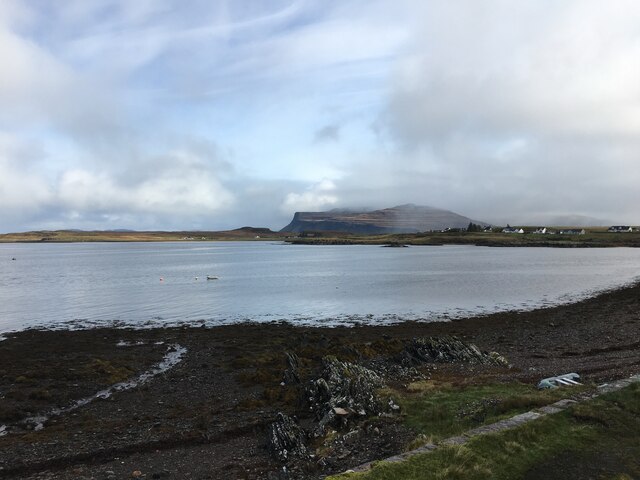
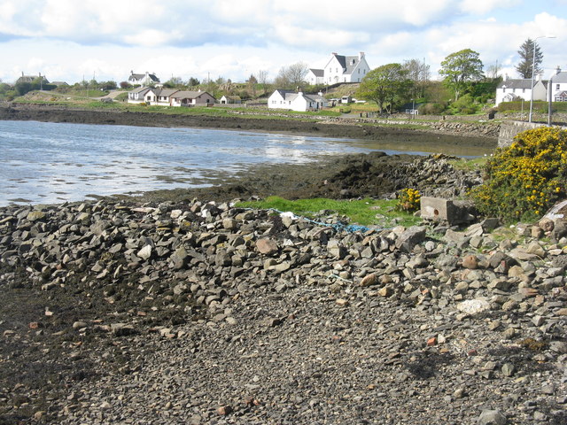
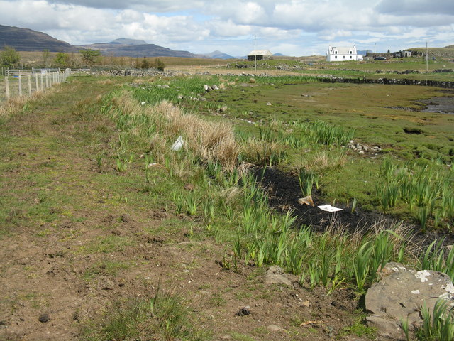
Aird nan Caorach, located in Argyllshire, is a prominent coastal feature that stretches out into the sea as a headland or point. This picturesque site is situated on the western coast of Scotland, overlooking the Atlantic Ocean.
Aird nan Caorach is characterized by its rugged and rocky terrain, with cliffs rising steeply from the water below. The headland offers breathtaking views of the surrounding landscape, including the nearby islands and the vast expanse of the ocean. It is a popular destination for both locals and tourists who seek to immerse themselves in the natural beauty of the Scottish coastline.
The area surrounding Aird nan Caorach is rich in biodiversity, with a variety of marine and bird species inhabiting the waters and cliffs. Seals can often be spotted lounging on the rocks, while seabirds soar above, adding to the enchanting atmosphere of the place.
Visitors to Aird nan Caorach can explore the headland by taking scenic coastal walks, enjoying the refreshing sea breeze and the stunning views. The rocky cliffs also provide opportunities for rock climbing and birdwatching.
Due to its remote location, Aird nan Caorach offers a serene and tranquil environment, away from the hustle and bustle of city life. It is an ideal spot for those seeking solitude and a connection with nature.
If you have any feedback on the listing, please let us know in the comments section below.
Aird nan Caorach Images
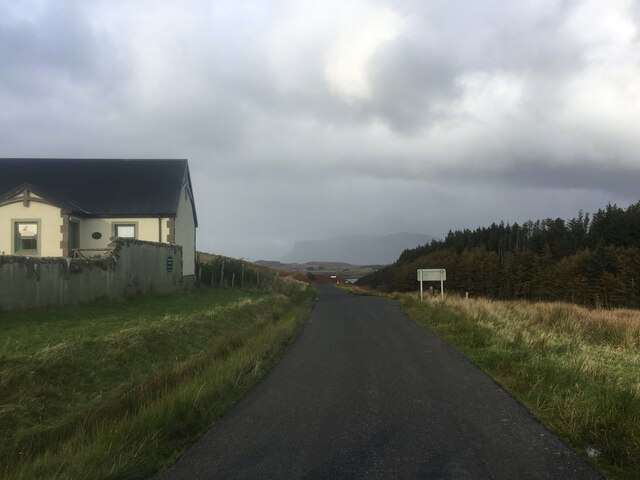
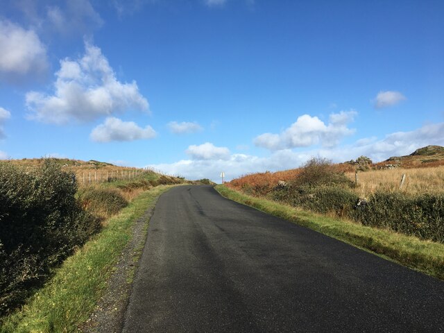
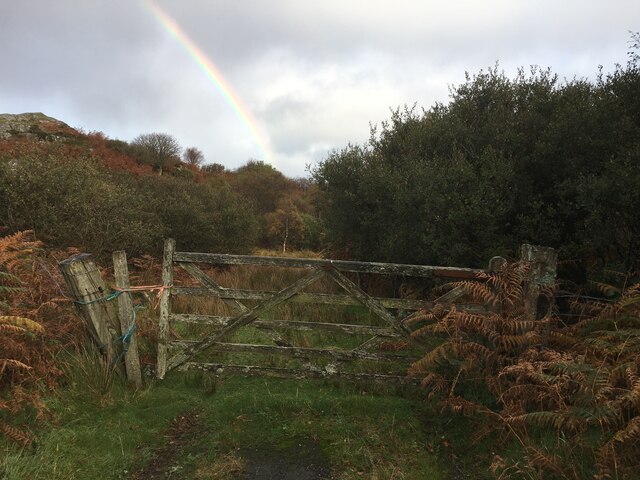
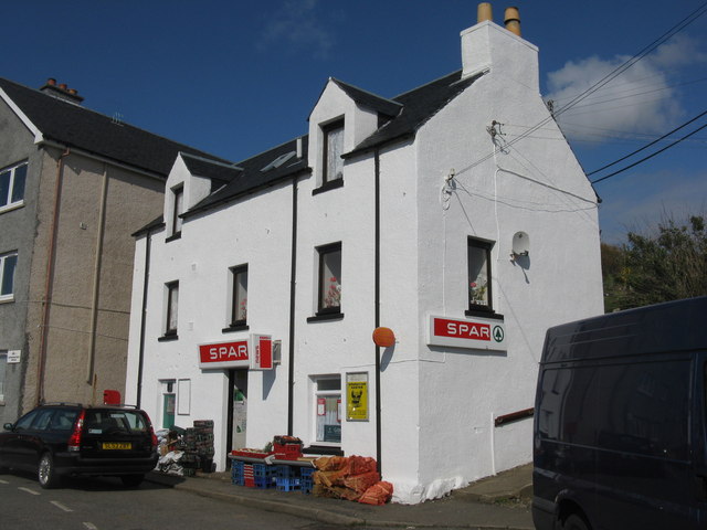
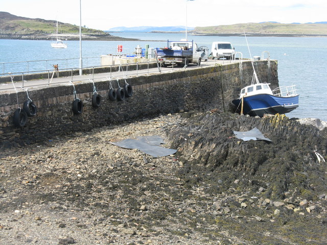
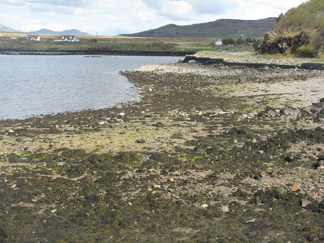
Images are sourced within 2km of 56.323948/-6.24231 or Grid Reference NM3722. Thanks to Geograph Open Source API. All images are credited.
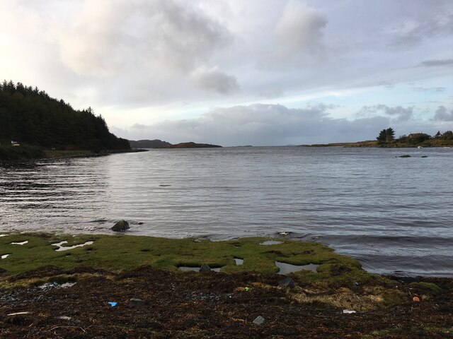
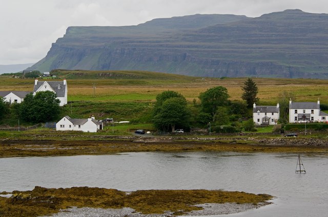
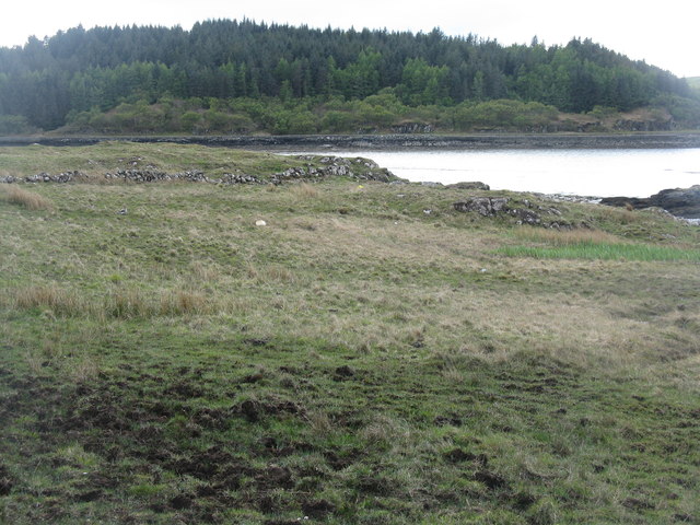
![Aird an Daraich Looking northeast across Loch Scridain to Bearreach. Remains of old oaks occur in the near fields [Daraich is 'oak' in the Gaelic]](https://s3.geograph.org.uk/geophotos/02/93/98/2939891_e88216ea.jpg)
Aird nan Caorach is located at Grid Ref: NM3722 (Lat: 56.323948, Lng: -6.24231)
Unitary Authority: Argyll and Bute
Police Authority: Argyll and West Dunbartonshire
What 3 Words
///grips.swam.agrees. Near Fionnphort, Argyll & Bute
Related Wikis

Bunessan
Bunessan (Scottish Gaelic: Bun Easain) is a small village on the Ross of Mull in the south-west of the Isle of Mull, off the west coast of Scotland. The...

Suidhe
Suidhe (Scottish Gaelic: Suidhe) is a ruined township located on the southwestern peninsula of the Isle of Mull, Scotland. It lies just over 1 km to the...

Ardtun
Ardtun (Scottish Gaelic: Àird Tunna) is a settlement on the Isle of Mull, in Argyll and Bute, Scotland. Ardtun is within the parish of Kilfinichen and...

Knockan
Knockan (Scottish Gaelic: An Cnocan) is a township of six crofts in the community of Ardtun, in the south of the Isle of Mull off the west coast of Scotland...

Knocknafenaig
Knocknafenaig (Scottish Gaelic: Cnoc na Fennaig) is a ruined township on the Isle of Mull, Scotland. Located in the south-western portion of the island...
Camas Tuath
Camas Tuath (Scottish Gaelic: north bay) is an inlet bay on the Ross of Mull. The bay has two small tidal islands and two Quarrymans' Cottages which the...

Ross of Mull
The Ross of Mull (Scottish Gaelic: An Ros Mhuileach) is the largest peninsula of the Isle of Mull, about 28 kilometres (17 mi) long, and makes up the south...

Ardalanish
Ardalanish (Scottish Gaelic: Àird Dealanais) is a village on the Isle of Mull in Argyll and Bute, Scotland. It is now an organic farm and weaving mill...
Nearby Amenities
Located within 500m of 56.323948,-6.24231Have you been to Aird nan Caorach?
Leave your review of Aird nan Caorach below (or comments, questions and feedback).