Aird nan Caorath Beag
Coastal Marsh, Saltings in Argyllshire
Scotland
Aird nan Caorath Beag
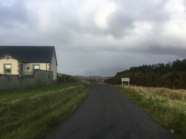
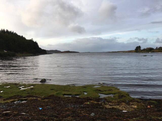
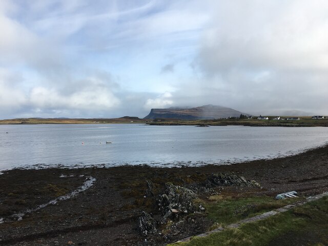
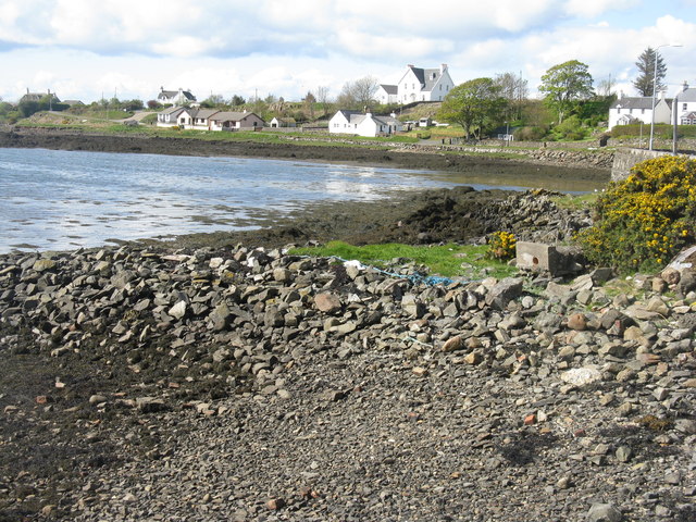
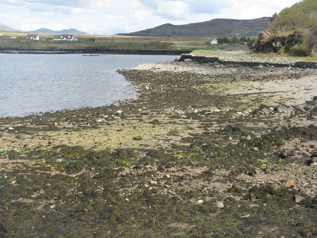
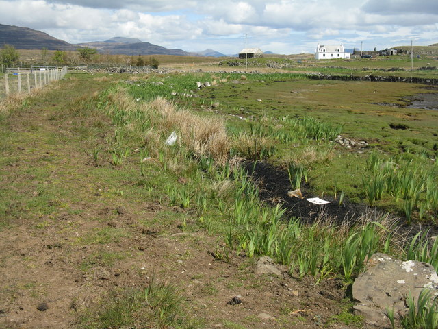
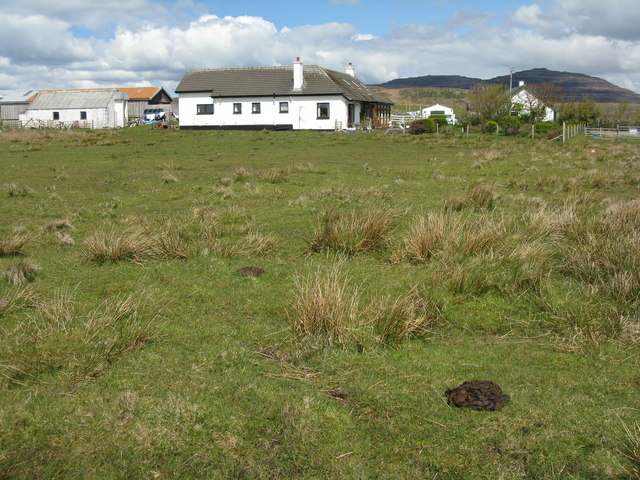
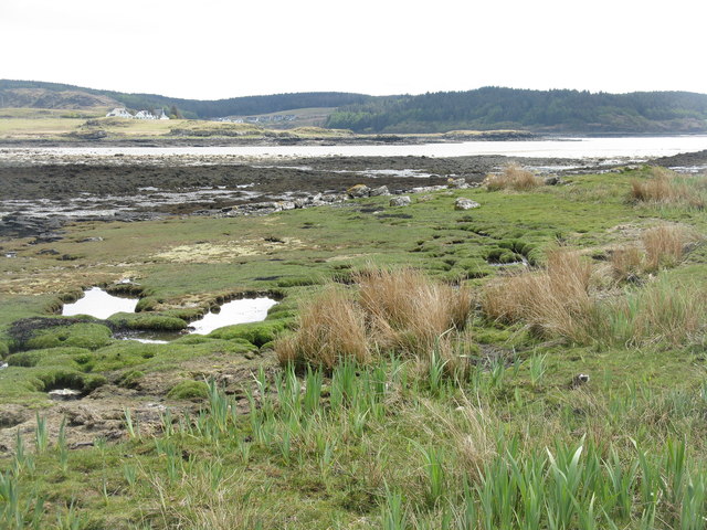
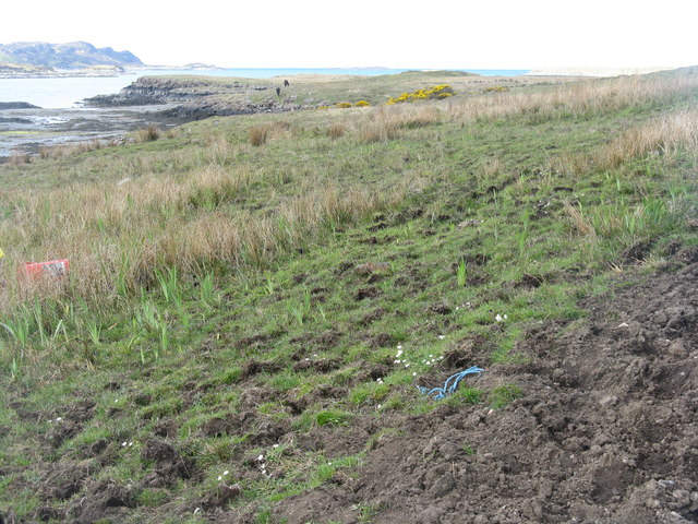
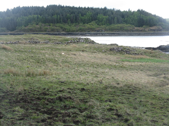
Aird nan Caorath Beag, located in Argyllshire, Scotland, is a coastal marsh characterized by its unique and diverse ecosystem. Nestled along the shoreline, it is known for its extensive saltings, which are areas of land that are regularly flooded by the tides.
The marsh is home to a wide range of plant and animal species that have adapted to its brackish and saline conditions. Common plant species found in the area include sea lavender, sea aster, and sea purslane, which thrive in the saltwater-rich environment. The marsh also serves as a breeding ground for various bird species, such as redshanks, curlews, and oystercatchers. These birds take advantage of the abundant food sources found in the mudflats and shallow waters.
The marshland itself is predominantly flat and covered with a mix of mud, sand, and salt-tolerant grasses. The tides play a crucial role in shaping the landscape, depositing sediment and nutrients that support the diverse flora and fauna.
Aird nan Caorath Beag is not only ecologically significant but also provides important functions for the surrounding area. The marsh acts as a natural buffer against coastal erosion, absorbing the force of waves and protecting the land behind it. It also plays a role in water filtration and flood control, helping to maintain water quality and reduce the risk of flooding.
Due to its ecological importance, Aird nan Caorath Beag has been designated as a Site of Special Scientific Interest (SSSI), ensuring its protection and preservation for future generations. Visitors can appreciate the beauty and diversity of this coastal marsh while also understanding its significance in the local ecosystem.
If you have any feedback on the listing, please let us know in the comments section below.
Aird nan Caorath Beag Images
Images are sourced within 2km of 56.322305/-6.2406385 or Grid Reference NM3722. Thanks to Geograph Open Source API. All images are credited.
![Aird an Daraich Looking northeast across Loch Scridain to Bearreach. Remains of old oaks occur in the near fields [Daraich is 'oak' in the Gaelic]](https://s3.geograph.org.uk/geophotos/02/93/98/2939891_e88216ea.jpg)
Aird nan Caorath Beag is located at Grid Ref: NM3722 (Lat: 56.322305, Lng: -6.2406385)
Unitary Authority: Argyll and Bute
Police Authority: Argyll and West Dunbartonshire
What 3 Words
///hung.boarded.thrashed. Near Fionnphort, Argyll & Bute
Related Wikis

Bunessan
Bunessan (Scottish Gaelic: Bun Easain) is a small village on the Ross of Mull in the south-west of the Isle of Mull, off the west coast of Scotland. The...

Suidhe
Suidhe (Scottish Gaelic: Suidhe) is a ruined township located on the southwestern peninsula of the Isle of Mull, Scotland. It lies just over 1 km to the...

Ardtun
Ardtun (Scottish Gaelic: Àird Tunna) is a settlement on the Isle of Mull, in Argyll and Bute, Scotland. Ardtun is within the parish of Kilfinichen and...

Knockan
Knockan (Scottish Gaelic: An Cnocan) is a township of six crofts in the community of Ardtun, in the south of the Isle of Mull off the west coast of Scotland...

Knocknafenaig
Knocknafenaig (Scottish Gaelic: Cnoc na Fennaig) is a ruined township on the Isle of Mull, Scotland. Located in the south-western portion of the island...

Ross of Mull
The Ross of Mull (Scottish Gaelic: An Ros Mhuileach) is the largest peninsula of the Isle of Mull, about 28 kilometres (17 mi) long, and makes up the south...
Camas Tuath
Camas Tuath (Scottish Gaelic: north bay) is an inlet bay on the Ross of Mull. The bay has two small tidal islands and two Quarrymans' Cottages which the...

Ardalanish
Ardalanish (Scottish Gaelic: Àird Dealanais) is a village on the Isle of Mull in Argyll and Bute, Scotland. It is now an organic farm and weaving mill...
Nearby Amenities
Located within 500m of 56.322305,-6.2406385Have you been to Aird nan Caorath Beag?
Leave your review of Aird nan Caorath Beag below (or comments, questions and feedback).