Port a' Chladaich
Sea, Estuary, Creek in Argyllshire
Scotland
Port a' Chladaich
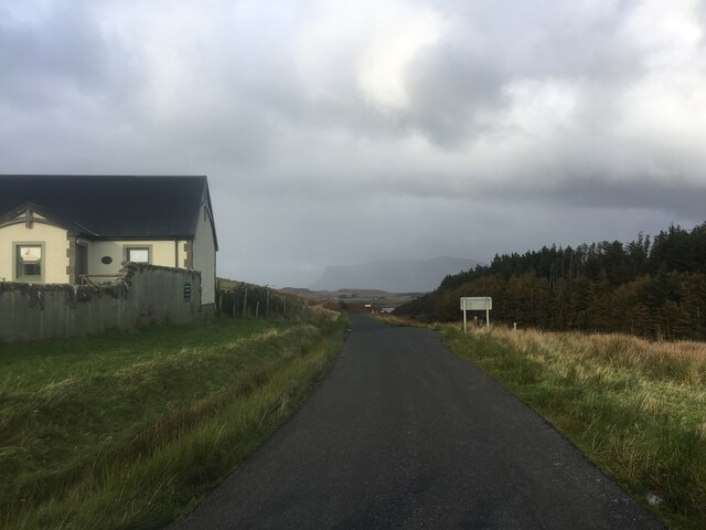
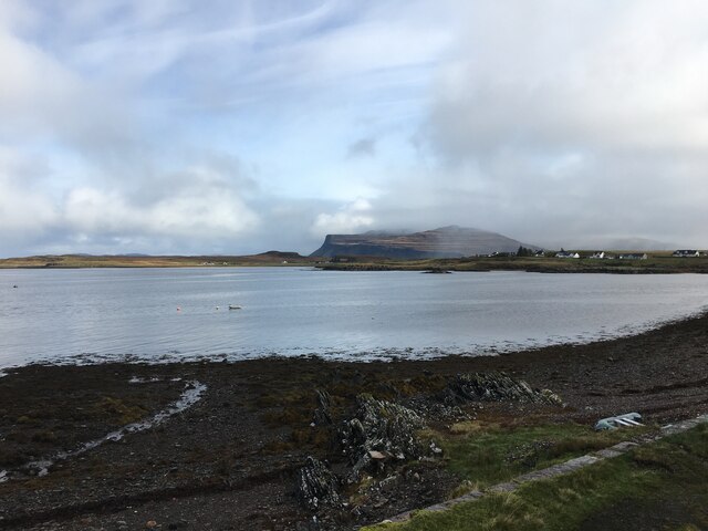
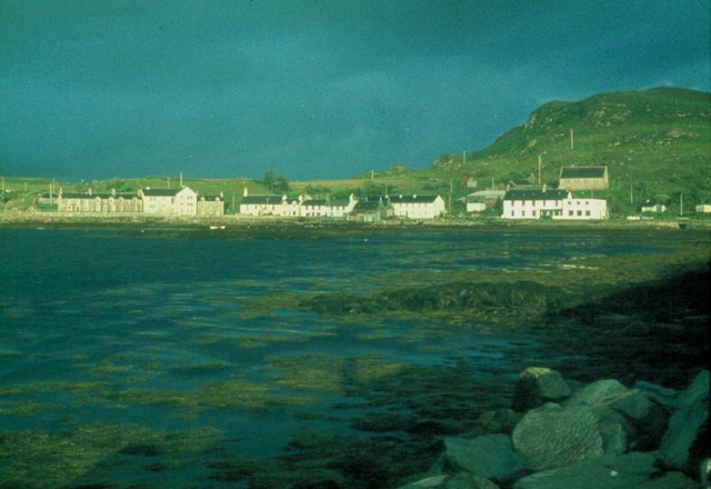
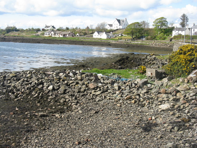
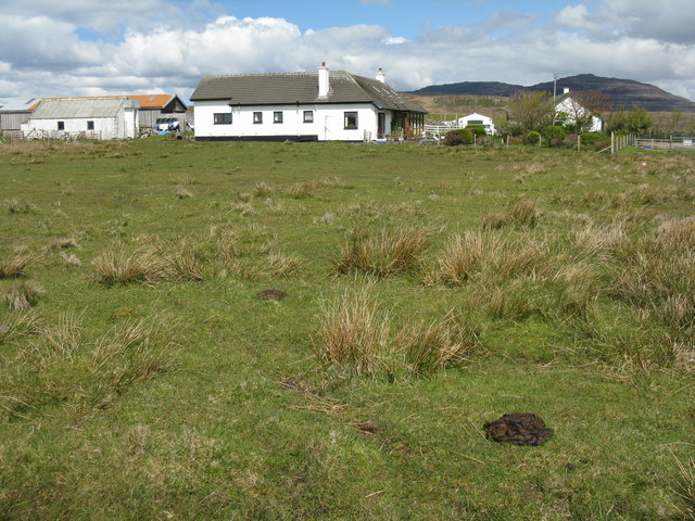
Port a' Chladaich is a small coastal settlement located in Argyllshire, Scotland. Situated on the west coast, it enjoys picturesque views of the sea, estuary, and creek. The name "Port a' Chladaich" translates to "beach port" in Gaelic, which is a fitting description for this charming coastal area.
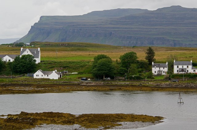
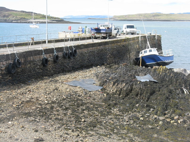
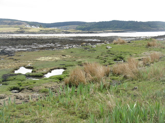
The village is nestled between rolling hills and a stunning coastline, making it a popular destination for nature lovers and outdoor enthusiasts. The sea in Port a' Chladaich is known for its crystal-clear waters and diverse marine life. It is a haven for activities such as fishing, sailing, and kayaking.
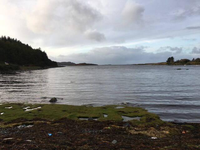
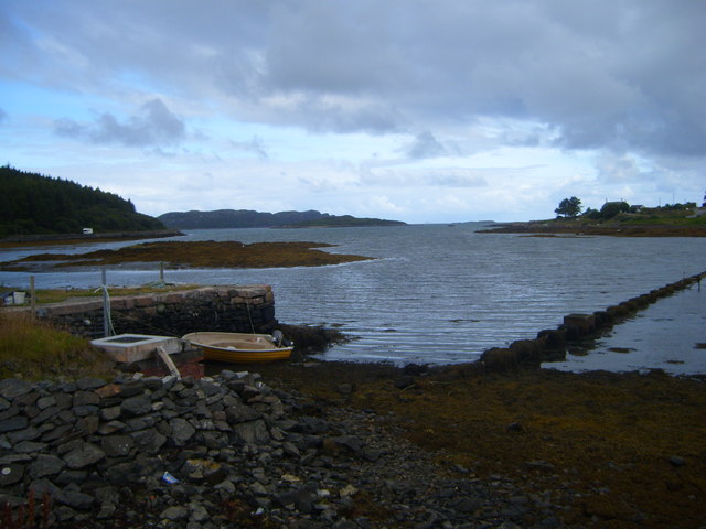
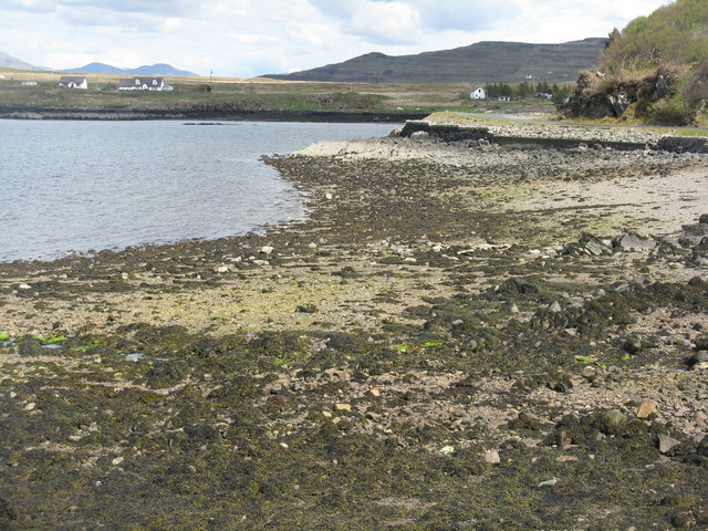
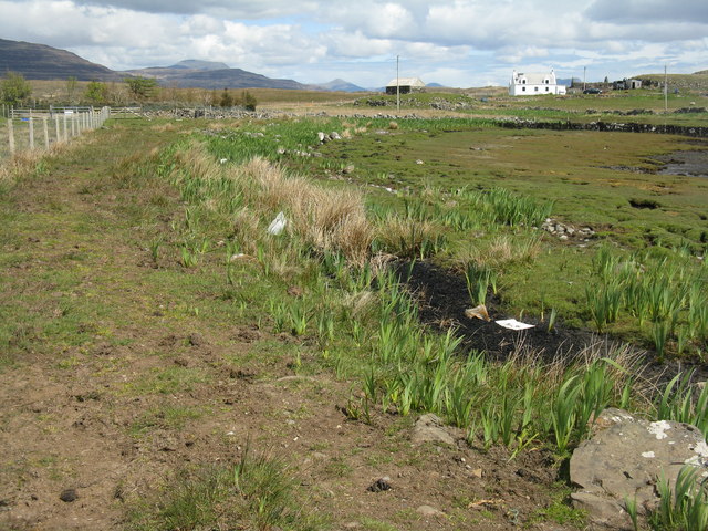
The estuary in Port a' Chladaich is a unique feature of the landscape. It is a tidal area where the river meets the sea, creating a habitat for various species of birds, fish, and plants. Birdwatchers flock to the estuary to spot rare and migratory birds that take refuge in the area.
Adjacent to the estuary is a tranquil creek that winds its way through the village. The creek provides a picturesque setting for leisurely walks and picnics, with its calm waters reflecting the surrounding landscape.
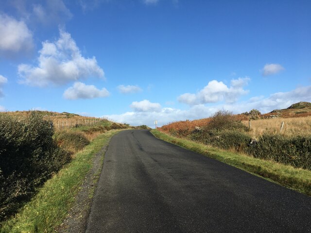
Port a' Chladaich is a hidden gem in Argyllshire, offering a peaceful retreat from the hustle and bustle of city life. Its natural beauty, combined with the warm hospitality of the locals, makes it a must-visit destination for those seeking serenity and a close connection with nature.
If you have any feedback on the listing, please let us know in the comments section below.
Port a' Chladaich Images
Images are sourced within 2km of 56.319276/-6.246889 or Grid Reference NM3722. Thanks to Geograph Open Source API. All images are credited.

![Aird an Daraich Looking northeast across Loch Scridain to Bearreach. Remains of old oaks occur in the near fields [Daraich is 'oak' in the Gaelic]](https://s3.geograph.org.uk/geophotos/02/93/98/2939891_e88216ea.jpg)
![Lazy beds at Aird an Daraich By Ardness House near Bunessan on the A849 road to Fionnphort. The old traditional crofting method of cultivation, particularly of potatoes, by laying them on the surface and covering with seaweed and soil from the side [a precursor to modern raised beds; nothing is new!].](https://s0.geograph.org.uk/geophotos/02/93/98/2939896_ec60fdf7.jpg)
Port a' Chladaich is located at Grid Ref: NM3722 (Lat: 56.319276, Lng: -6.246889)
Unitary Authority: Argyll and Bute
Police Authority: Argyll and West Dunbartonshire
What 3 Words
///ditched.publisher.flesh. Near Fionnphort, Argyll & Bute
Related Wikis

Suidhe
Suidhe (Scottish Gaelic: Suidhe) is a ruined township located on the southwestern peninsula of the Isle of Mull, Scotland. It lies just over 1 km to the...

Bunessan
Bunessan (Scottish Gaelic: Bun Easain) is a small village on the Ross of Mull in the south-west of the Isle of Mull, off the west coast of Scotland. The...

Ardtun
Ardtun (Scottish Gaelic: Àird Tunna) is a settlement on the Isle of Mull, in Argyll and Bute, Scotland. Ardtun is within the parish of Kilfinichen and...

Knocknafenaig
Knocknafenaig (Scottish Gaelic: Cnoc na Fennaig) is a ruined township on the Isle of Mull, Scotland. Located in the south-western portion of the island...
Nearby Amenities
Located within 500m of 56.319276,-6.246889Have you been to Port a' Chladaich?
Leave your review of Port a' Chladaich below (or comments, questions and feedback).