Eilean Bàn
Island in Argyllshire
Scotland
Eilean Bàn
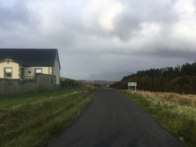
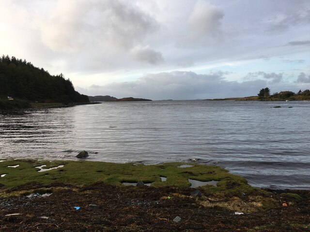
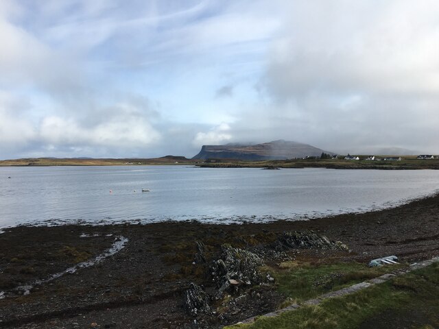
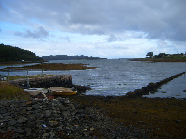
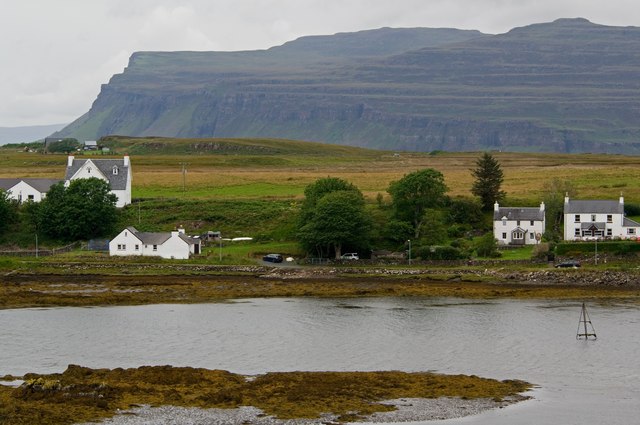
Eilean Bàn is a small island located in Argyllshire, Scotland. Situated in the Sound of Sleat, it is approximately 16 acres in size and is only accessible by boat. The island is situated between the mainland and the Isle of Skye, offering stunning views of the surrounding landscape.
One of the notable features of Eilean Bàn is the iconic Eilean Bàn lighthouse, which was built in 1857. It served as a crucial aid to navigation in the area, guiding ships safely through the Sound of Sleat. The lighthouse is now automated and no longer requires a resident keeper, but it remains a prominent landmark on the island.
In addition to the lighthouse, Eilean Bàn is also known for its connection to the renowned author, Gavin Maxwell. Maxwell lived on the island from 1963 until his death in 1969. His former cottage, known as "Camusfearna," has been transformed into a museum dedicated to his life and work. Visitors can explore the cottage and learn about Maxwell's experiences as a naturalist and writer.
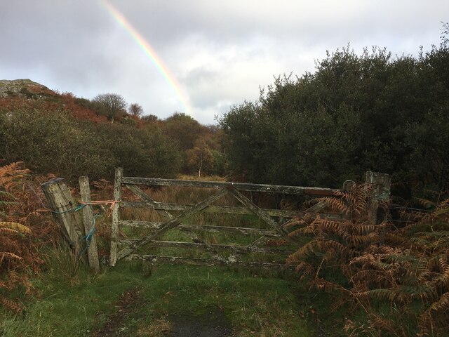
Eilean Bàn is a haven for wildlife enthusiasts, as it is home to a wide range of bird species, including oystercatchers, herons, and even sea eagles. The island also boasts picturesque walking trails that allow visitors to experience the tranquil beauty of the Scottish countryside.
Overall, Eilean Bàn offers a unique blend of natural beauty, historical significance, and literary heritage, making it a must-visit destination for those exploring the Argyllshire region.
If you have any feedback on the listing, please let us know in the comments section below.
Eilean Bàn Images
Images are sourced within 2km of 56.325133/-6.2522994 or Grid Reference NM3722. Thanks to Geograph Open Source API. All images are credited.

![Aird an Daraich Looking northeast across Loch Scridain to Bearreach. Remains of old oaks occur in the near fields [Daraich is 'oak' in the Gaelic]](https://s3.geograph.org.uk/geophotos/02/93/98/2939891_e88216ea.jpg)
![Lazy beds at Aird an Daraich By Ardness House near Bunessan on the A849 road to Fionnphort. The old traditional crofting method of cultivation, particularly of potatoes, by laying them on the surface and covering with seaweed and soil from the side [a precursor to modern raised beds; nothing is new!].](https://s0.geograph.org.uk/geophotos/02/93/98/2939896_ec60fdf7.jpg)
Eilean Bàn is located at Grid Ref: NM3722 (Lat: 56.325133, Lng: -6.2522994)
Unitary Authority: Argyll and Bute
Police Authority: Argyll and West Dunbartonshire
What 3 Words
///outwards.entire.claps. Near Fionnphort, Argyll & Bute
Related Wikis

Suidhe
Suidhe (Scottish Gaelic: Suidhe) is a ruined township located on the southwestern peninsula of the Isle of Mull, Scotland. It lies just over 1 km to the...

Bunessan
Bunessan (Scottish Gaelic: Bun Easain) is a small village on the Ross of Mull in the south-west of the Isle of Mull, off the west coast of Scotland. The...

Ardtun
Ardtun (Scottish Gaelic: Àird Tunna) is a settlement on the Isle of Mull, in Argyll and Bute, Scotland. Ardtun is within the parish of Kilfinichen and...
Camas Tuath
Camas Tuath (Scottish Gaelic: north bay) is an inlet bay on the Ross of Mull. The bay has two small tidal islands and two Quarrymans' Cottages which the...

Ross of Mull
The Ross of Mull (Scottish Gaelic: An Ros Mhuileach) is the largest peninsula of the Isle of Mull, about 28 kilometres (17 mi) long, and makes up the south...

Knocknafenaig
Knocknafenaig (Scottish Gaelic: Cnoc na Fennaig) is a ruined township on the Isle of Mull, Scotland. Located in the south-western portion of the island...

Knockan
Knockan (Scottish Gaelic: An Cnocan) is a township of six crofts in the community of Ardtun, in the south of the Isle of Mull off the west coast of Scotland...

Ardalanish
Ardalanish (Scottish Gaelic: Àird Dealanais) is a village on the Isle of Mull in Argyll and Bute, Scotland. It is now an organic farm and weaving mill...
Have you been to Eilean Bàn?
Leave your review of Eilean Bàn below (or comments, questions and feedback).