Sgeir Beul na h-Acairseid
Island in Argyllshire
Scotland
Sgeir Beul na h-Acairseid
Sgeir Beul na h-Acairseid is a small uninhabited island located off the west coast of Scotland in Argyllshire. It is part of the Inner Hebrides, situated approximately 2 kilometers northwest of the Isle of Mull.
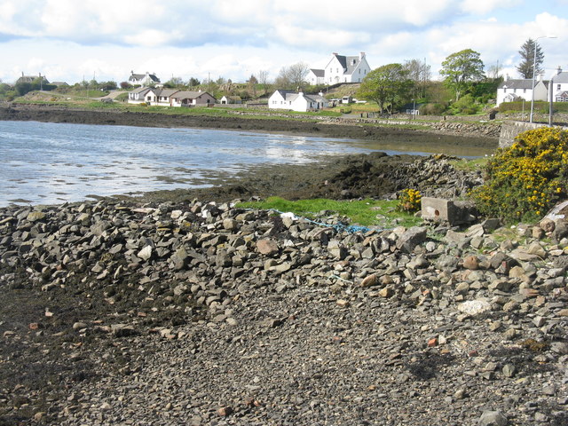
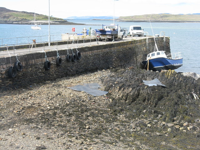
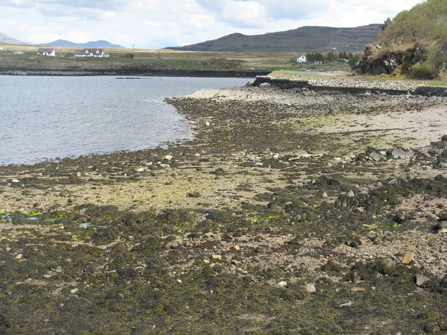
The island is relatively small, measuring only around 200 meters in length and 100 meters in width. It is characterized by its rocky terrain and rugged coastline, with steep cliffs and large boulders scattered across the shoreline. The island is accessible by boat, but visitors should exercise caution due to the treacherous waters and strong currents surrounding it.
Sgeir Beul na h-Acairseid is renowned for its diverse marine life and is a popular spot for birdwatchers and nature enthusiasts. The surrounding waters are home to a variety of seabirds such as puffins, gannets, and guillemots, which nest on the island's cliffs. The area is also known for its rich underwater ecosystem, with seals, dolphins, and even occasional sightings of whales.
Due to its remote location, there are no facilities or accommodations on the island, making it a perfect destination for those seeking solitude and tranquility. Visitors can enjoy the breathtaking views of the surrounding sea and Mull's coastline, as well as the opportunity to explore the island's rocky terrain and observe the abundant wildlife.
Sgeir Beul na h-Acairseid offers a unique and untouched natural environment, making it a must-visit destination for nature lovers and adventurers looking to immerse themselves in Scotland's wild beauty.
If you have any feedback on the listing, please let us know in the comments section below.
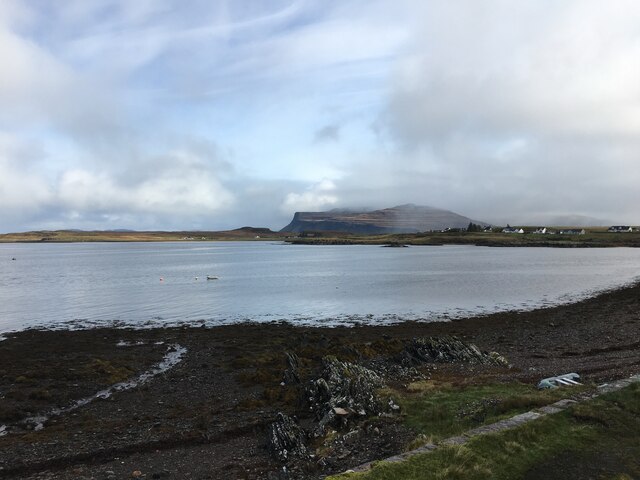
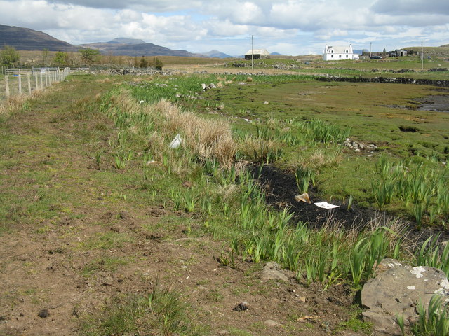
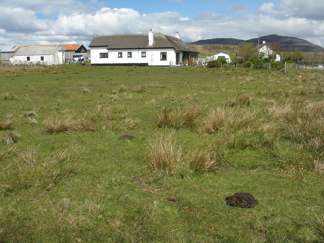
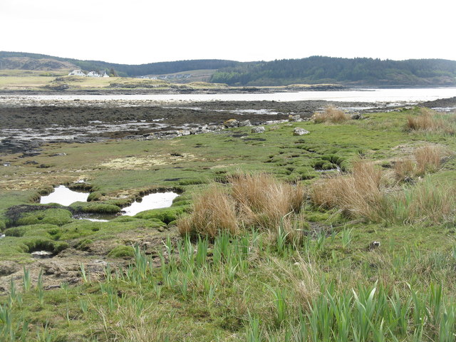
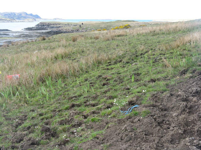
Sgeir Beul na h-Acairseid Images
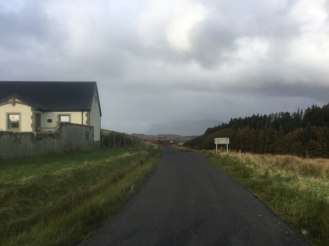
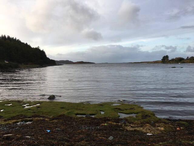
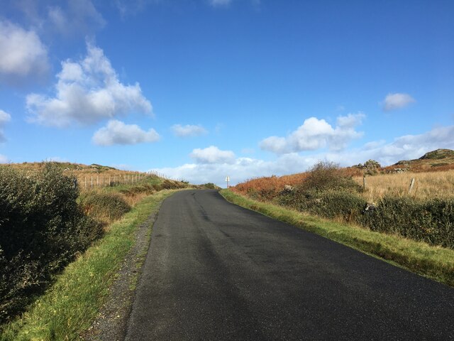
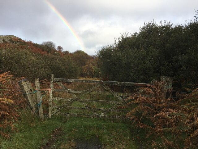
Images are sourced within 2km of 56.32111/-6.2416549 or Grid Reference NM3722. Thanks to Geograph Open Source API. All images are credited.
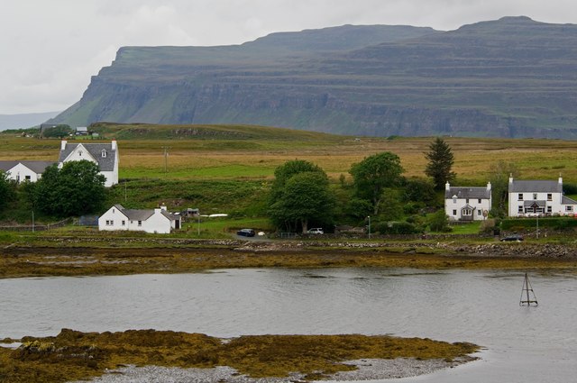
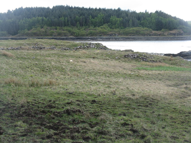
![Aird an Daraich Looking northeast across Loch Scridain to Bearreach. Remains of old oaks occur in the near fields [Daraich is 'oak' in the Gaelic]](https://s3.geograph.org.uk/geophotos/02/93/98/2939891_e88216ea.jpg)
Sgeir Beul na h-Acairseid is located at Grid Ref: NM3722 (Lat: 56.32111, Lng: -6.2416549)
Unitary Authority: Argyll and Bute
Police Authority: Argyll and West Dunbartonshire
What 3 Words
///darling.ruffling.heads. Near Fionnphort, Argyll & Bute
Related Wikis

Bunessan
Bunessan (Scottish Gaelic: Bun Easain) is a small village on the Ross of Mull in the south-west of the Isle of Mull, off the west coast of Scotland. The...

Suidhe
Suidhe (Scottish Gaelic: Suidhe) is a ruined township located on the southwestern peninsula of the Isle of Mull, Scotland. It lies just over 1 km to the...

Ardtun
Ardtun (Scottish Gaelic: Àird Tunna) is a settlement on the Isle of Mull, in Argyll and Bute, Scotland. Ardtun is within the parish of Kilfinichen and...

Knocknafenaig
Knocknafenaig (Scottish Gaelic: Cnoc na Fennaig) is a ruined township on the Isle of Mull, Scotland. Located in the south-western portion of the island...

Knockan
Knockan (Scottish Gaelic: An Cnocan) is a township of six crofts in the community of Ardtun, in the south of the Isle of Mull off the west coast of Scotland...

Ross of Mull
The Ross of Mull (Scottish Gaelic: An Ros Mhuileach) is the largest peninsula of the Isle of Mull, about 28 kilometres (17 mi) long, and makes up the south...
Camas Tuath
Camas Tuath (Scottish Gaelic: north bay) is an inlet bay on the Ross of Mull. The bay has two small tidal islands and two Quarrymans' Cottages which the...

Ardalanish
Ardalanish (Scottish Gaelic: Àird Dealanais) is a village on the Isle of Mull in Argyll and Bute, Scotland. It is now an organic farm and weaving mill...
Nearby Amenities
Located within 500m of 56.32111,-6.2416549Have you been to Sgeir Beul na h-Acairseid?
Leave your review of Sgeir Beul na h-Acairseid below (or comments, questions and feedback).